Winter storm maps: Explaining what Massachusetts can expect from weekend snow storm
Winter storm maps: Explaining what Massachusetts can expect from weekend snow storm
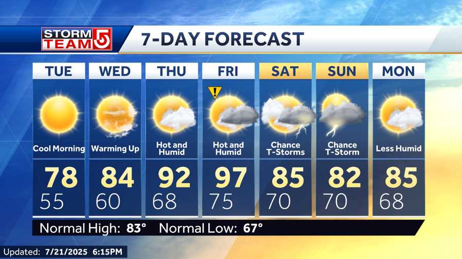
THING UP BECAUSE THERE ISN’T TOO MUCH MORE LEFT OUT THERE. TO THE WEST, THIS SYSTEM WILL BE PULLING AWAY AS WE HEAD OVERNIGHT TONIGHT, AND THAT WILL GIVE US CLEAR SKIES TONIGHT. BUT IT ALSO. MEANS SOME COLD TEMPERATURES. SO YOU SEE WHAT HAPPENS OVERNIGHT TONIGHT. THERE’S THE CLEAR SKIES. TOMORROW MORNING TEMPERATURES IN THE TEENS. BUT WIND CHILLS IN THE SINGLE DIGITS TOMORROW MORNING. AND WE DO GET PLENTY OF SUNSHINE FOR SOME MELTING TOMORROW. THAT WILL BE WELCOMED. ALL RIGHT. SNOW ENDING TONIGHT. FREEZING TEMPERATURES WITH THAT CLEARING SKIES OVERNIGHT TONIGHT 18 TO 26 FOR YOUR OVERNIGHT LOW MAYNARD DROPPING DOWN TO 19 OVERNIGHT TONIGHT KEENE AND ORANGE DROPPING DOWN TO 18 DEGREES FOR OVERNIGHT LOWS. AND THEN FOR TOMORROW WE’VE GOT A SUNNY DAY. SLOW MELT OUT THERE A LITTLE ON THE BREEZY SIDE. TEMPERATURES TOMORROW ABOUT. 35 TO 40 DEGREES FOR YOUR HIGH TEMPERATURES. SO WHAT CAN YOU EXPECT TOMORROW? WELL, ICY ROADS TO THE NORTH. TOMORROW MORNING YOU’LL REBOUND TO ABOUT 38 DEGREES IN BEDFORD AS YOU LOOK THROUGH WORCESTER COUNTY. IT’S GOING TO GET COLD TONIGHT. IT’LL TAKE A WHILE TO REBOUND THOSE TEMPERATURES AND THROUGH THE SOUTH SHORE, MAYBE A FEW SPOTS HITTING 40 DEGREES. AND OF COURSE YOU DON’T HAVE TO WORRY TOO MUCH ABOUT SHOVELING ANY SNOW IF YOU’RE ALONG THE SOUTH SHORE OR THE CAPE, BECAUSE YOU ALL OF IT STAYED PRETTY MUCH INLAND. BUT WE HAVE ANOTHER SYSTEM COMING LATER THIS WEEK. FOR MORE ON THAT, LET’S SWITCH OVER TO METEOROLOGIST DAVID WILLIAMS DAVID. YES. MIKE. SO WE JUST GOT DONE WITH IMPACT WEATHER AND NOW WE’RE TRACKING IMPACT WEATHER ON THE WAY. ONCE AGAIN, IT LOOKS LIKE TUESDAY NIGHT GOING INTO WEDNESDAY WE’RE TRACKING HEAVY RAIN. WE’RE ALSO TRACKING SOME DAMAGING WIND GUSTS ANYWHERE BETWEEN 50 TO 70 MILE PER HOUR WIND GUSTS. ALONG WITH THAT RIVER. FLOODING. COASTAL FLOODING ALSO AREAS OF CONCERN AS THE STORM SYSTEM STARTS TO WORK ITS WAY IN, TEMPERATURES WILL BEGIN TO SPIKE SO YOU CAN SEE IT RUSHES OUR WAY BY THE TIME WE GET TO TUESDAY. SO TUESDAY LATE IN THE DAY, GOING INTO YOUR EARLY WEDNESDAY MORNING IS WHEN THIS STORM BEGINS TO PEAK, ALONG WITH VERY WARM TEMPERATURES. AND THEN WE’RE DRIER ON THE BACKSIDE OF THE STORM SYSTEM. BUT ONCE AGAIN, WE ARE LOOKING AT A PRETTY DAMAGING WIND UP AHEAD FOR YOUR TUESDAY NIGHT GOING INTO YOUR WEDNESDAY MORNING. SO YOU CAN SEE THOSE WINDS REALLY BEGIN TO RAMP UP, ESPECIALLY OVERNIGHT. WE’RE LOOKING AT 50 TO POSSIBLY 70 MILE PER HOUR WIND GUSTS THAT CONTINUES AT LEAST THROUGHOUT THE FIRST HALF OF OUR WEDNESDAY BEFORE THOSE WINDS FINALLY BEGIN TO TAPER OFF. GOING INTO YOUR WEDNESDAY EVENING. BUT WE’RE LOOKING AT A STORM FOR YOUR TUESDAY AND WEDNESDAY. A BRIEF BREAK, POSSIBLY ANOTHER STORM ON THE WAY AS WELL. MIKE THANK YOU DAVID. AND AS WE LOOK AT THE SEVEN DAY FORECAST, YOU CAN SEE WHAT WE’RE DEALING WITH TOMORROW. BREEZY SUNSHINE ABOUT 36. THAT RAIN AS DAVID WAS MENTIONING, COMES IN HERE TUESDAY NIGHT AND WEDNESDAY. ANOTHER IMPACT WEATHER DAY. BUT CHECK OUT THAT TEMPERATURE 54 DEGREES. NOW WHEN IT COOLS DOWN ON THURSDAY AND FRIDAY IT DOESN’T GET THAT COLD, BUT IT DOES COOL DOWN. AND THEN SATURDAY THIS IS A LITTLE CHANGE. YESTERDAY IT LOOKED LIKE IT WOULD BE KIND OF MORE OF A WINTRY MIX. NOW IT’S STARTING TO LOOK MORE LIKE RAIN. SO MUCH FOR THAT QUIET WINTER WE STARTED WITH
Advertisement
Winter storm maps: Explaining what Massachusetts can expect from weekend snow storm
NEEDHAM, Mass. —
The first widespread, significant snowfall of the season for Massachusetts has arrived and will continue through most of the day on Sunday.
Expected impacts from this storm include plowable snowfall which will make for hazardous travel in some areas. Gusty winds are also expected along the coast.
Check back frequently with this page. These maps and forecast projections will be frequently updated as the storm approaches.
Advertisement
Advertisement
Advertisement


