Lancashire’s flat coastline, lacking the protection of high cliffs has always been at the mercy of the raging sea.
Maps from before the late 1500’s indicate the North West coastline from south Lancashire up to Carlisle near to the Scottish border extended into the Irish Sea up to two miles further than it does today.
Along this coastline stood numerous small villages, hamlets and cottages built in the wattle and daub method (thin branches weaved between upright stakes and daubed with mud or clay).
Below are maps of ‘modern’ day Fylde coast.


The Tsunami.
On the 29th July 1555, during the reign of Queen Mary 1, a catastrophic tidal surge, believed to have been caused by volcanic activity in the Irish Sea, washed in land for several miles, destroying twenty-six villages between Southport and Carlisle, including three on the Fylde coast. These were Kilgrimol at St. Annes, where the Old Links golf course is now, Waddam Thorpe at Squires Gate, Blackpool and Singleton Thorpe.
All three villages were swept away together with the great Forest of Amounderness, and numerous villagers lost their lives in the tidal waves which permanently altered the coastline boundary.
Singleton Thorpe.
Singleton Thorpe, situated on what is now a tidal beach between Cleveleys and Rossall was linked by road to the River Wyre estuary, near to present day Fleetwood. The villagers made their living through farming and fishing and the local pub, The Penny Stone Inn, famous for its penny pints of ale was situated a mile or so further south. The inn derived its name from the huge rock, close to the public house known as the Penny Stone, part of a stone circle called the Carlin and the Colts, which were shattered during the storm surge, leaving only the Penny Stone rocks standing.
The Penny Stone rocks can be seen at low tide across from the Norbreck Castle Hotel, Blackpool.


Petrified Forest Remains.
At low tide the tree stumps of Amounderness Forest can often be seen on Cleveleys beach.


Sand movement through the tide may cover or uncover these tree remains and over the years, especially after a storm many tree stumps and tree trunks have been exposed until the following tide.


There have been numerous expeditions to uncover the remains of Singleton Thorpe. In 1893 the Blackpool Times organised a search to find the village, taking advantage of the lowest tide of the year. They found much evidence of the buried forest, rubble wall foundations of cottages, trenches filled with rough lime and cobblestones, manufactured pieces of timber, one measuring 17ft long and 13in wide and described ‘as plain as could be, the rafter of a large room’.
It was reported that nearer the sea the expedition searched the more was found.
The survivors from Singleton Thorpe moved inland and set up a new village called Singleton, which is still a thriving community.
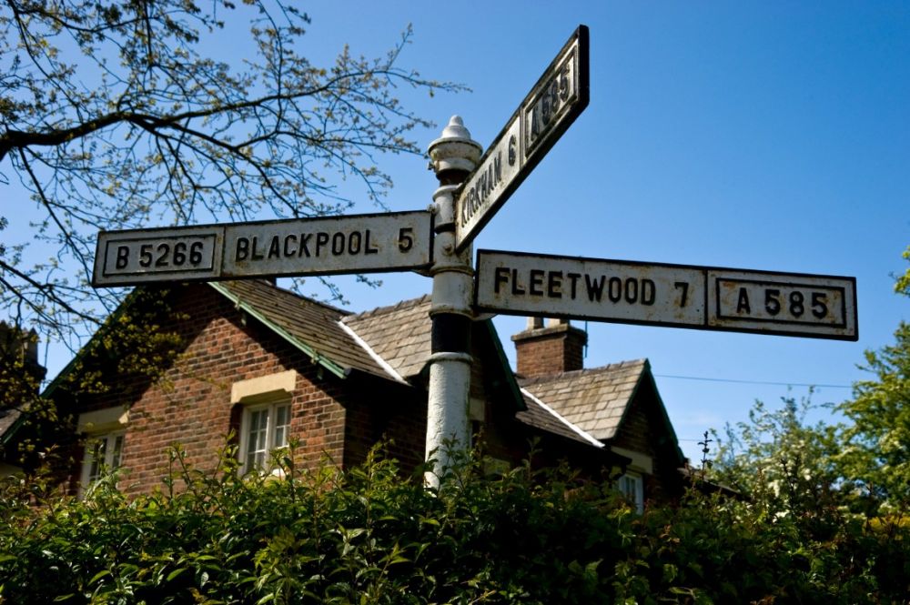
Below is the sign at Singleton crossroads.
Sources of reference include: Lancashire Magic & Mystery by Kenneth Fields, published by Sigma Leisure, wyrearchaeology.blogspot.com & spookyisles.com.
Photos courtesy of Google Images.

Singleton (a Viking name) was mentioned in the Pipe Roll of 1168 so the notion that it was created by the residents of the “lost” Singleton Thorpe is as credible as the rest of the urban myths surrounding the village. The ‘remains, found in the Victorian investigation have been clearly accounted for without the creation of a lost village. Nice story though……..
absolutely fascinating. Yet there are no museums in this area detailing all this history. it would be awesome to have an area local to these lost villages with them built again for people to visit like the Yorvik Centre which attracts thousands yearly. Just a thought. xx