You are using an outdated browser. Please
upgrade your browser to improve your experience.
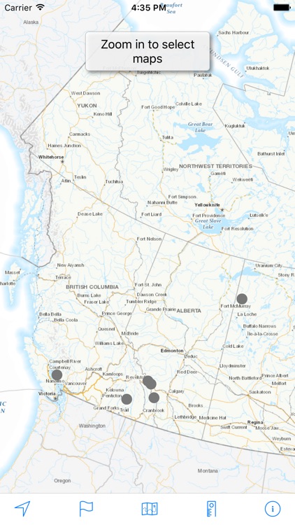
Download and view topographic maps covering Canada

Topo Maps Canada
by David Crawshay

What is it about?
Download and view topographic maps covering Canada.
App Screenshots
App Store Description
Download and view topographic maps covering Canada.
Topographic maps are useful for recreational activities such as hiking, canoeing, camping, fishing, mountain biking, geocaching, and exploring.
MAPS
Choose from 3 map sources: Canada Base Map (shaded/unshaded), and Toporama.
OFFLINE
Download maps for areas of interest to view them later when you don't have Internet access or you don't want to use cell data.
TRACKING
Use location tracking to show where you are on the map, your elevation, and the accuracy of the GPS signal.
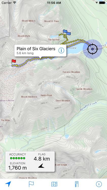
FLAGS
Flags are included with map downloads. Add flags (waypoints) to the map to mark your current location or other locations. Import flags from other sources using GPX files and geocache LOC files. Share flags with others using email or AirDrop. Organize your flag types by color, for example, geocaches, trailheads, and summits.
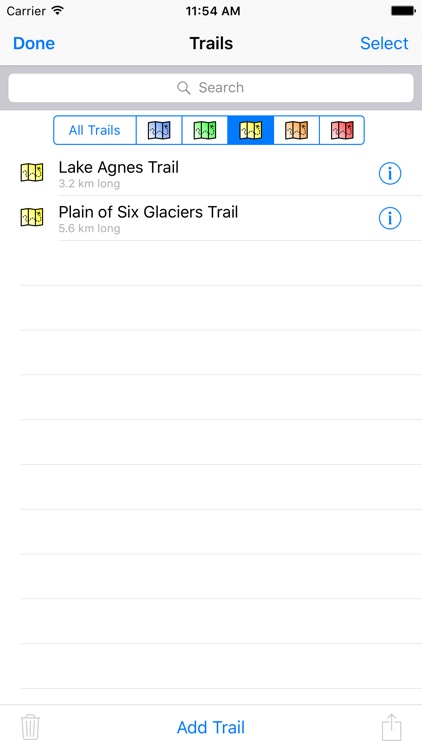
TRAILS
Trails are included with map downloads. Import trails (tracks) using GPX files you find on the Internet or from your personal GPS track collection. Share trails with others using email or AirDrop. Organize your trail types by color, for example, mountain bike trails, hiking trails, and OHV trails.
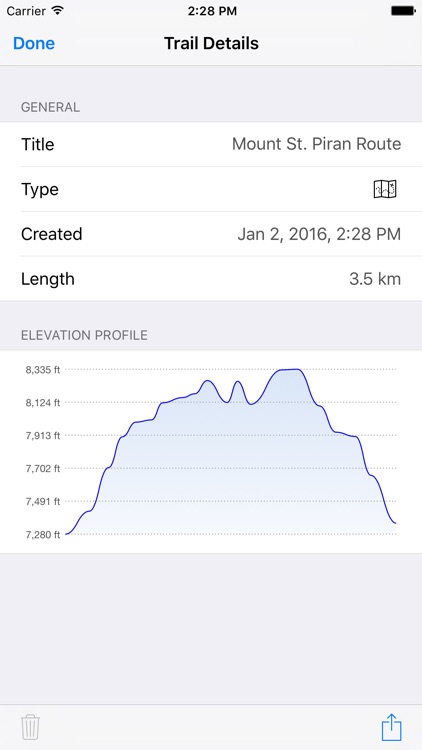
TRAIL RECORDING
Record your own trails to show where you've been on the map, follow them later, and share with others.
ELEVATION PROFILE
Recorded trails include an elevation profile (distance/elevation chart).
NAVIGATION
Navigate to a flag by following the direction arrow that uses your compass heading. Useful for geocaching.
MEASURE
Measure the distance between points on the map.
Note: Continued use of GPS running in the background can dramatically decrease battery life.
Disclaimer:
AppAdvice does not own this application and only provides images and links contained in the iTunes Search API, to help our users find the best apps to download. If you are the developer of this app and would like your information removed, please send a request to takedown@appadvice.com and your information will be removed.
AppAdvice does not own this application and only provides images and links contained in the iTunes Search API, to help our users find the best apps to download. If you are the developer of this app and would like your information removed, please send a request to takedown@appadvice.com and your information will be removed.