2014
SZ0378 : Swanage Sailing Club
taken 9 years ago, near to Swanage, Dorset, England
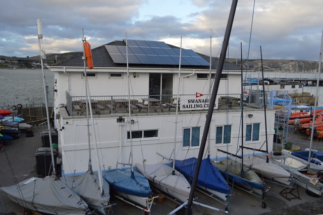
Swanage Sailing Club
Swanage is a coastal town in the south east of Dorset. It is situated at the eastern end of the Isle of Purbeck, approximately 6 miles south of Poole and 25 miles east of Dorchester. Nearby are Ballard Down and Old Harry Rocks, with Studland Bay and Poole Harbour to the north.
The town, originally a small port and fishing village, flourished in the Victorian era, when it first became a significant quarrying port and later a seaside resort for the rich of the day. Today the town remains a popular tourist resort, this being the town's primary industry, with many thousands of visitors coming to the town during the peak summer season, drawn by the bay's sandy beaches and other attractions.
The town is located at the eastern end of the Jurassic Coast, a World Heritage Site.
Wikipedia: Link
See other images of Swanage
 Map © Crown Copyright")
TIP: Click the map for more Large scale mapping
- Grid Square
- SZ0378, 843 images (more nearby 🔍)
- Photographer
- N Chadwick (more nearby)
- Date Taken
- Saturday, 27 December, 2014 (more nearby)
- Submitted
- Saturday, 18 July, 2015
- Subject Location
-
OSGB36:
 SZ 0355 7865 [10m precision]
WGS84: 50:36.4534N 1:57.0715W - Camera Location
-
OSGB36: SZ 0356 7863
- View Direction
- North-northwest (about 337 degrees)