Porthleven Bowling Club
Porthleven Bowling Club is a pitch in Porthleven, West Cornwall, England. Porthleven Bowling Club is situated nearby to the recreation area Gala Parc - Home of Porthleven A.F.C. and Saint Bartholomew's Church.Notable Places in the Area
Saint Bartholomew's Church
Church
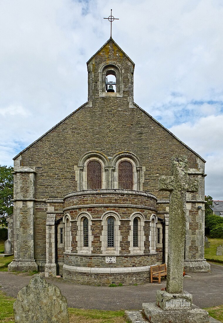 Saint Bartholomew's Church is situated 430 feet southeast of Porthleven Bowling Club.
The Harbour Inn
Pub

Photo: Hanton01, CC BY-SA 4.0.
The Harbour Inn is a pub situated 1,100 feet south of Porthleven Bowling Club.
The Ship Inn
Pub
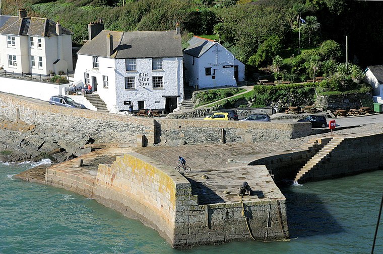
Photo: Stuart Logan, CC BY-SA 2.0.
The Ship Inn is a pub situated 1,500 feet south of Porthleven Bowling Club.
Localities in the Area
Breage
Village
 Breage is a civil parish and village in Cornwall, England, United Kingdom. Breage is situated 1½ miles northwest of Porthleven Bowling Club.
Great Wheal Fortune
Locality
Wheal Fortune or Great Wheal Fortune is the site of a mine in the civil parishes of Breage and Sithney in west Cornwall. Great Wheal Fortune is situated 2 miles north of Porthleven Bowling Club.
Sithney
Village
Photo: Tony Atkin, CC BY-SA 2.0.
Sithney is a village and civil parish in the West of Cornwall, England, United Kingdom. Sithney is situated 2 miles north of Porthleven Bowling Club.
Porthleven Bowling Club
- Type: Pitch
- Categories: recreation area, bowls and sports location
- Location: Porthleven, West Cornwall, Cornwall, West Country, England, United Kingdom, Britain and Ireland, Europe
- View on OpenStreetMap
Latitude
50.08735° or 50° 5' 14" northLongitude
-5.31763° or 5° 19' 4" westOpen Location Code
9C2P3MPJ+WWOpenStreetMap ID
way 908698140OpenStreetMap Feature
leisure=pitchOpenStreetMap Feature
sport=bowlsPorthleven Bowling Club Satellite Map
© OpenStreetMap, Mapbox and Maxar
Other Places Named Porthleven Bowling Club
Landmarks in the Area
- Gala Parc - Home of Porthleven A.F.C.Recreation area, 340 feet north
- Christadelphian HallChurch, 530 feet southeast
- Porthleven Mobile Post Office ServicePost office, 610 feet southeast
- Porthleven Methodist ChurchChurch, 780 feet southeast
- Porthleven Harbour MarketMarketplace, 850 feet south
Places in the Area
- Build CenterShop, 340 feet west
- Out of The Blue pub560 feet north
- Kittos FieldParking lot, 580 feet southeast
- Mill LaneBus stop, 610 feet northwest
- Shoals BreweryBuilding, 590 feet south
Popular Destinations in West Cornwall
Discover Penzance, Land's End, St Ives and Hayle.
Escape to a Random Place
Discover other pitches in the world.
About Mapcarta. Thanks to Mapbox for providing amazing maps. Data © OpenStreetMap contributors and available under the Open Database License. Text is available under the CC BY-SA 4.0 license, excluding photos, directions and the map. Photo: Bs0u10e01, CC BY-SA 4.0.