Fenner Bowling Club
Fenner Bowling Club is a pitch in Kingston upon Hull, England. Fenner Bowling Club is situated nearby to the suburb Marfleet and the recreation area Fenners Recreation Ground.Notable Places in the Area
Church of St Giles
Church
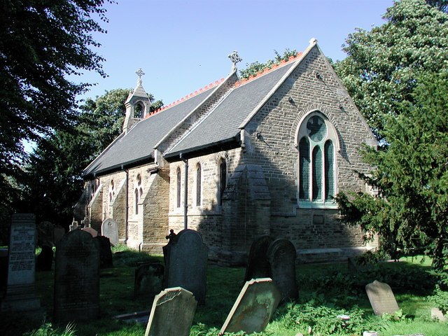
Photo: Paul Glazzard, CC BY-SA 2.0.
Church of St Giles is situated 1,600 feet east of Fenner Bowling Club.
HM Prison Hull
Prison
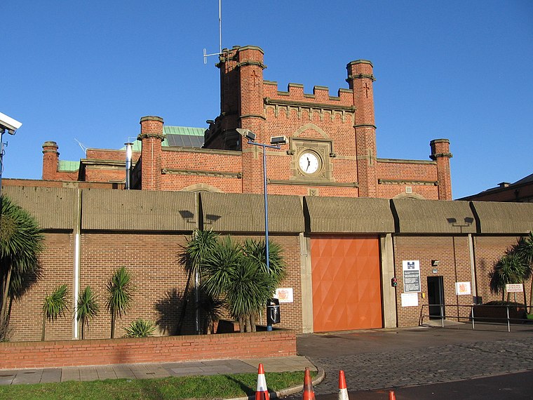 HMP Hull is a Category B men's local prison located in Kingston upon Hull in England. HM Prison Hull is situated 1 mile west of Fenner Bowling Club.
Archbishop Sentamu Academy
School building
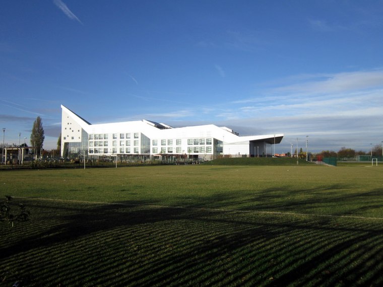
Photo: Ian S, CC BY-SA 2.0.
Archbishop Sentamu Academy is a mixed Church of England secondary school and sixth form located in the Preston Road Estate of Kingston upon Hull, England. Archbishop Sentamu Academy is situated 3,700 feet north of Fenner Bowling Club.
Localities in the Area
Marfleet
Suburb
Photo: Paul Glazzard, CC BY-SA 2.0.
Marfleet is an area of Kingston upon Hull, East Riding of Yorkshire, England, in the east of the city, near King George Dock.
Garden Village
Suburb
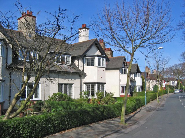
Photo: Stephen Horncastle, CC BY-SA 2.0.
53°45′33″N 0°18′51″W / 53.759178°N 0.314076°W Maple Grove, Garden VillageThe Garden Village… Garden Village is situated 2 miles northwest of Fenner Bowling Club.
Drypool
Suburb
Drypool is an area within the city of Kingston upon Hull, England. Drypool is situated 2 miles west of Fenner Bowling Club.
Fenner Bowling Club
- Type: Pitch
- Categories: recreation area, bowls and sports location
- Location: Kingston upon Hull, England, United Kingdom, Britain and Ireland, Europe
- View on OpenStreetMap
Latitude
53.74903° or 53° 44' 57" northLongitude
-0.27459° or 0° 16' 29" westOpen Location Code
9C5XPPXG+J5OpenStreetMap ID
way 78043253OpenStreetMap Feature
leisure=pitchOpenStreetMap Feature
sport=bowlsFenner Bowling Club Satellite Map
© OpenStreetMap, Mapbox and Maxar
Landmarks in the Area
- Fenners Recreation GroundRecreation area, 600 feet northeast
- Antler ClubSocial club, 720 feet north
- Roger Millward StandStadium, 2,600 feet northeast
- Sewell Group Craven Park StadiumStadium, 2,800 feet northeast
- Greatfield HubCommunity center, 3,300 feet northeast
Places in the Area
- Marfleet Avenue Ceylon StreetBus stop
- Marfleet Avenue Ceylon Street NorthboundBus stop
- BPGas station, 350 feet southeast
- Hedon Road Ceylon StreetBus stop, 470 feet southeast
- Jade GardenFast food restaurant, 540 feet southwest
Popular Destinations in England
Discover London, Manchester, Sheffield and Leeds.
Escape to a Random Place
Discover other pitches in the world.
About Mapcarta. Thanks to Mapbox for providing amazing maps. Data © OpenStreetMap contributors and available under the Open Database License. Text is available under the CC BY-SA 4.0 license, excluding photos, directions and the map. Photo: Wikimedia, CC0.