Carr Lane Crown Green Bowls Club
Carr Lane Crown Green Bowls Club is a pitch in Stalmine-with-Staynall, Wyre District, England. Carr Lane Crown Green Bowls Club is situated nearby to the community center Stalmine Village Hall and Stalmine Primary School.Notable Places in the Area
Church of the Blessed Virgin Mary, Hambleton
Church

Photo: Bob Jenkins, CC BY-SA 2.0.
Church of the Blessed Virgin Mary, Hambleton is situated 1¼ miles south of Carr Lane Crown Green Bowls Club.
Saint Aidan's Church of England High School
School
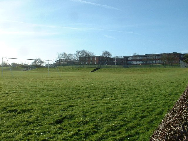
Photo: David Medcalf, CC BY-SA 2.0.
Saint Aidan's Church of England High School is a Church of England voluntary aided school located in Preesall, England. Saint Aidan's Church of England High School is situated 1½ miles north of Carr Lane Crown Green Bowls Club.
Shard Bridge
Bridge
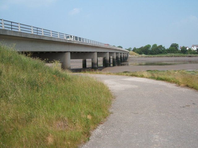
Photo: Stephen Moore, CC BY-SA 2.0.
Shard Bridge is a bridge in the English county of Lancashire. Shard Bridge is situated 2 miles south of Carr Lane Crown Green Bowls Club.
Localities in the Area
Thornton
Town
Thornton is a village in the Borough of Wyre, about 4 miles north of Blackpool and 2 miles south of Fleetwood. Thornton is situated 2½ miles southwest of Carr Lane Crown Green Bowls Club.
Fleetwood

Photo: purpleseadonkey, CC BY 2.0.
Fleetwood is a seaside resort and fishing town, in Lancashire, in the North West of England.
Anchorsholme
Suburb

Photo: Trevor Hilton, CC BY-SA 2.0.
Anchorsholme is an area of Blackpool, in the Borough of Blackpool in Lancashire, England. Anchorsholme is situated 3½ miles southwest of Carr Lane Crown Green Bowls Club.
Carr Lane Crown Green Bowls Club
- Type: Pitch
- Categories: recreation area, bowls and sports location
- Location: Stalmine-with-Staynall, Wyre District, Lancashire, North West England, England, United Kingdom, Britain and Ireland, Europe
- View on OpenStreetMap
Latitude
53.893° or 53° 53' 35" northLongitude
-2.95584° or 2° 57' 21" westOpen Location Code
9C5VV2VV+5MOpenStreetMap ID
way 734019735OpenStreetMap Feature
leisure=pitchOpenStreetMap Feature
sport=bowlsCarr Lane Crown Green Bowls Club Satellite Map
© OpenStreetMap, Mapbox and Maxar
Landmarks in the Area
- Stalmine Primary SchoolSchool, 2,400 feet north
- Stalmine Village HallCommunity center, 2,400 feet north
- Sunset Park Holiday VillageMotorhome stopover, 2,400 feet southeast
- Grange Farm Caravan ParkMotorhome stopover, 3,000 feet northwest
- Hallgate Park (Stalmine) Crown Green Bowls ClubPitch, 3,300 feet north
Places in the Area
- Moy VetsVeterinarian, 2,400 feet south
- Moss Side Childrens NurseryKindergarten, 2,600 feet northeast
- The Puddled DuckPub, 2,800 feet southeast
- Morrisons DailyConvenience store, 3,100 feet north
- Seven StarsPub, 3,200 feet north
Escape to a Random Place
Discover other pitches in the world.
About Mapcarta. Thanks to Mapbox for providing amazing maps. Data © OpenStreetMap contributors and available under the Open Database License. Text is available under the CC BY-SA 4.0 license, excluding photos, directions and the map. Photo: matthewhartley369, CC BY-SA 2.0.