Bylet Crown Green Bowls Club
Bylet Crown Green Bowls Club is a pitch in Bridgnorth, Shropshire, England. Bylet Crown Green Bowls Club is situated close to the sports venue Bylet Bowling Club and underhillstreet park.Notable Places in the Area
Church of St. Mary Magdalene, Bridgnorth
Church

Photo: Andrewrabbott, Public domain.
The Church of St. Mary Magdalene, Bridgnorth, is a parish Church in the Church of England, standing in East Castle Street, Bridgnorth. Church of St. Mary Magdalene, Bridgnorth is situated 690 feet southwest of Bylet Crown Green Bowls Club.
Bridgnorth Town Hall
Town hall
 Bridgnorth Town Hall is a municipal building in the High Street, Bridgnorth, Shropshire, England. Bridgnorth Town Hall is situated 1,200 feet northwest of Bylet Crown Green Bowls Club.
St Leonard's Church, Bridgnorth
 St Leonard's Church is a redundant Anglican church in Bridgnorth, Shropshire, England. St Leonard's Church, Bridgnorth is situated 1,500 feet northwest of Bylet Crown Green Bowls Club.
Localities in the Area
Oldbury
Village
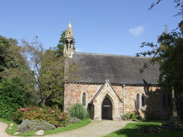
Photo: John M, CC BY-SA 2.0.
Oldbury is a small village and former civil parish, now in the parish of Bridgnorth, in the Shropshire district, in the ceremonial county of Shropshire, England.
Danesford
Hamlet

Photo: John M, CC BY-SA 2.0.
Danesford is a small settlement in Shropshire, England.
Tasley
Hamlet

Photo: Row17, CC BY-SA 2.0.
Tasley is a village and civil parish in Shropshire, England.It is located to the immediate west of the town of Bridgnorth, and the A458 road passes through.
Bylet Crown Green Bowls Club
- Type: Pitch
- Categories: recreation area, bowls and sports location
- Location: Bridgnorth, Shropshire, West Midlands, England, United Kingdom, Britain and Ireland, Europe
- View on OpenStreetMap
Latitude
52.5333° or 52° 31' 60" northLongitude
-2.41585° or 2° 24' 57" westOpen Location Code
9C4VGHMM+8MOpenStreetMap ID
way 713810868OpenStreetMap Feature
leisure=pitchOpenStreetMap Feature
sport=bowlsBylet Crown Green Bowls Club Satellite Map
© OpenStreetMap, Mapbox and Maxar
Landmarks in the Area
- Bylet Bowling ClubSports venue
- Bylet Crown Green Bowls ClubPitch
- underhillstreet parkPark
- Lavington's Hole380 feet west
- Stoneway GalleryArt gallery, 400 feet northwest
Places in the Area
- Riverside WinesBus stop
- Beaman And SonsButcher, 340 feet southwest
- China DinerRestaurant, 350 feet northeast
- Bridgnorth BakesBakery
Popular Destinations in Shropshire
Discover Shrewsbury, Telford, Oswestry and Ludlow.
Escape to a Random Place
Discover other pitches in the world.
About Mapcarta. Thanks to Mapbox for providing amazing maps. Data © OpenStreetMap contributors and available under the Open Database License. Text is available under the CC BY-SA 4.0 license, excluding photos, directions and the map. Photo: JCNazza, CC BY 3.0.