Clockhouse Gardens
Clockhouse Gardens is a park in Havering, Greater London, England. Clockhouse Gardens is situated close to the pitch Upminster Bowls Club and Upminster Post Office.Notable Places in the Area
Upminster station
Metro station
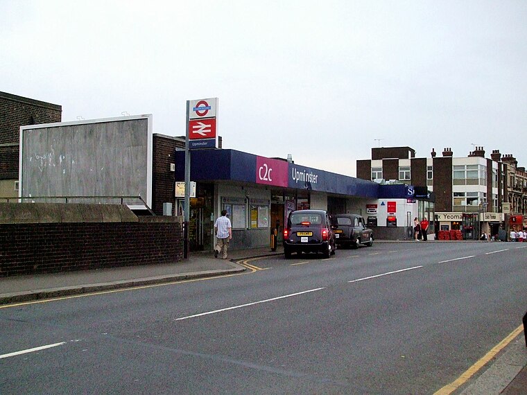
Photo: Sunil060902, CC BY-SA 3.0.
Upminster is an interchange station serving the town of Upminster in the London Borough of Havering, Greater London. Upminster station is situated 1,200 feet northwest of Clockhouse Gardens.
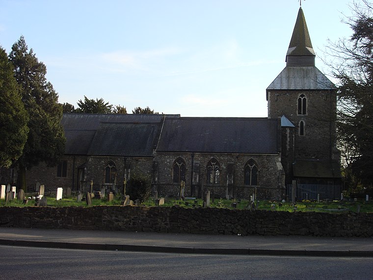
Church of St Laurence, Upminster
Church

Photo: Richard Portsmouth, CC BY-SA 2.0.
The church of St Laurence, Upminster, is the Church of England parish church in Upminster, England. Church of St Laurence, Upminster is situated 1,500 feet west of Clockhouse Gardens.
Upminster Windmill
 Upminster Windmill is a Grade II* listed smock mill located in Upminster in the London Borough of Havering, England. Upminster Windmill is situated 2,200 feet west of Clockhouse Gardens.
Localities in the Area
Upminster
Suburb
 Upminster is a suburban town in East London, England, within the London Borough of Havering.
Cranham
Suburb

Photo: John Winfield, CC BY-SA 2.0.
Cranham is a residential area of east London, and part of the London Borough of Havering.

Clockhouse Gardens
- Type: Park
- Category: recreation area
- Location: Havering, Greater London, England, United Kingdom, Britain and Ireland, Europe
- View on OpenStreetMap
Latitude
51.5561° or 51° 33' 22" northLongitude
0.25445° or 0° 15' 16" eastOpen Location Code
9F32H743+CQOpenStreetMap ID
way 56229306OpenStreetMap Feature
leisure=parkClockhouse Gardens Satellite Map
© OpenStreetMap, Mapbox and Maxar
Other Places Named Clockhouse Gardens
Landmarks in the Area
- Upminster Bowls ClubPitch
- Upminster Post OfficePost office, 1,100 feet west
- Upminster Junior SchoolSchool, 1,100 feet southwest
- Upminster Infant SchoolSchool, 1,100 feet southwest
- Upminster stationRailway station, 1,200 feet northwest
Places in the Area
- Upminster Medical CentreDoctor's office
- Tudor GardensBus stop
- WaitroseSupermarket
- Waitrose customer car parkParking lot
Popular Destinations in England
Discover London, Manchester, Sheffield and Leeds.
Escape to a Random Place
Discover other parks in the world.
About Mapcarta. Thanks to Mapbox for providing amazing maps. Data © OpenStreetMap contributors and available under the Open Database License. Text is available under the CC BY-SA 4.0 license, excluding photos, directions and the map. Photo: sidibousaid, CC BY 2.0.