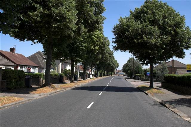
Robinson Bowls Club
Robinson Bowls Club is a parking lot in Brampton, North East Derbyshire, England. Access is restricted, only with permission. Robinson Bowls Club is situated close to the ruins Walton Mill and the pitch Walton Cricket Club.Notable Places in the Area
St Thomas' Church
Church

Photo: Wikimedia, CC BY-SA 2.0.
St Thomas’ Church, Brampton is a Grade II listed parish church in the Church of England in Brampton, Derbyshire. St Thomas' Church is situated 1,300 feet northwest of Robinson Bowls Club.
Queen's Park
Park

Photo: Schumi555, CC BY-SA 3.0.
Queen's Park is a county cricket ground located in Chesterfield, Derbyshire, England and lies within a park in the centre of the town established for the Golden Jubilee of Queen Victoria in 1887. Queen's Park is situated 1 mile east of Robinson Bowls Club.
Parkside Community School
School
Parkside Community School is a co-educational secondary school located in the Boythorpe area… Parkside Community School is situated 3,400 feet east of Robinson Bowls Club.
Localities in the Area
Walton
Suburb

Photo: Roger Temple, CC BY-SA 2.0.
Walton is a suburb of Chesterfield, in the Chesterfield district, in the county of Derbyshire, England.
Chesterfield

Photo: Phil Sangwell, CC BY 2.0.
Chesterfield is a market town in Derbyshire in the English Midlands, with a population of 76,402 in 2021.
Birdholme
Village

Photo: Stephen G Taylor, CC BY-SA 2.0.
Birdholme is a suburb of the town of Chesterfield, Derbyshire, England.
Robinson Bowls Club
- Type: Parking lot
- Access is restricted, only with permission.
- Categories: parking and transportation
- Location: Brampton, North East Derbyshire, Derbyshire, East Midlands, England, United Kingdom, Britain and Ireland, Europe
- View on OpenStreetMap
Latitude
53.22989° or 53° 13' 48" northLongitude
-1.45424° or 1° 27' 15" westOpen Location Code
9C5W6GHW+X8OpenStreetMap ID
way 539303880OpenStreetMap Feature
amenity=parkingRobinson Bowls Club Satellite Map
© OpenStreetMap, Mapbox and Maxar
Landmarks in the Area
- Walton MillRuins
- Walton Cricket ClubPitch, 710 feet southwest
- Barton GalleriesArt gallery, 1,000 feet north
- Brampton Picture FramingArt gallery, 1,000 feet north
- Walton ParkPark, 1,200 feet west
Places in the Area
- Lindisfarne CourtBuilding
- ScrewfixHardware store, 540 feet north
- DenmansElectrical supply store, 610 feet north
- Halfords AutocentreAutomobile repair shop, 660 feet north
- MorrisonsGas station, 660 feet north
Popular Destinations in Derbyshire
Discover Derby, Chesterfield, Buxton and Matlock.
Escape to a Random Place
Discover other parking lots in the world.
About Mapcarta. Thanks to Mapbox for providing amazing maps. Data © OpenStreetMap contributors and available under the Open Database License. Text is available under the CC BY-SA 4.0 license, excluding photos, directions and the map. Photo: sidibousaid, CC BY 2.0.