Kettering Lodge Bowling Club
Kettering Lodge Bowling Club is a sports venue in Kettering District, Northamptonshire, England located on Northampton Road. Kettering Lodge Bowling Club is situated close to Faraday Fountain and Kettering Library.Notable Places in the Area
Kettering Library
Library
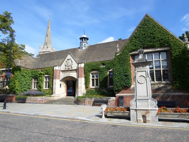
Photo: Burgess Von Thunen, CC BY-SA 2.0.
Kettering Library is a public library in Kettering, England, situated in the centre of the town between Market Place and St Peter and St Paul's Church. Kettering Library is situated 720 feet northeast of Kettering Lodge Bowling Club.
Kettering railway station
Railway station
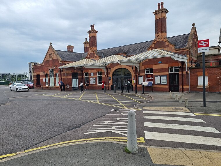
Photo: Bearas, CC BY-SA 4.0.
52°23′35″N 0°43′56″W / 52.39307°N 0.73215°W Kettering railway station serves the town of Kettering in Northamptonshire, England. Kettering railway station is situated 800 feet southwest of Kettering Lodge Bowling Club.
St Peter and St Paul's Church, Kettering
Church
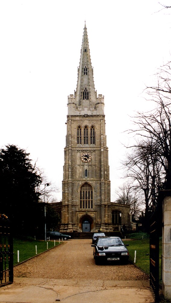
Photo: Wikimedia, CC BY-SA 2.0.
St Peter and St Paul's Church is a Church of England parish church in Kettering, Northamptonshire. St Peter and St Paul's Church, Kettering is situated 990 feet northeast of Kettering Lodge Bowling Club.
Localities in the Area
Kettering

Photo: Wikimedia, CC BY-SA 2.0.
Kettering is a town of 60,749 people in north Northamptonshire.
Barton Seagrave
Village
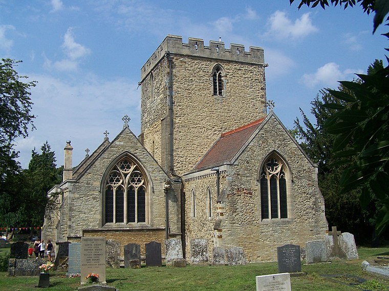
Photo: Geoff Pick, CC BY-SA 2.0.
Barton Seagrave is a large village and civil parish in the North Northamptonshire, England. Barton Seagrave is situated 2 miles southeast of Kettering Lodge Bowling Club.
Newton
Village
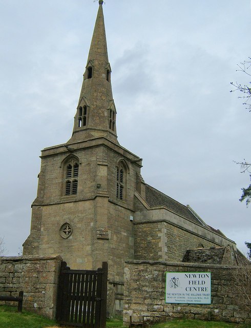
Photo: John Stolarski, CC BY-SA 2.0.
Newton, sometimes called Newton in the Willows, is a small village and former civil parish, now in the parish of Newton and Little Oakley, in the North Northamptonshire district, in the ceremonial county of Northamptonshire, England. Newton is situated 3½ miles north of Kettering Lodge Bowling Club.
Kettering Lodge Bowling Club
- Type: Sports venue
- Address: 15 Northampton Road, Kettering, NN15 7JU
- Categories: recreation area, bowls and sports location
- Location: Kettering District, Northamptonshire, East Midlands, England, United Kingdom, Britain and Ireland, Europe
- View on OpenStreetMap
Latitude
52.39546° or 52° 23' 44" northLongitude
-0.73045° or 0° 43' 50" westOpen Location Code
9C4X97W9+5ROpenStreetMap ID
way 464811194OpenStreetMap Feature
leisure=sports_centreOpenStreetMap Feature
sport=bowlsKettering Lodge Bowling Club Satellite Map
© OpenStreetMap, Mapbox and Maxar
Landmarks in the Area
- Faraday FountainFountain, 670 feet east
- Meadow Road ParkPark, 800 feet northwest
- Manor House MuseumMuseum, 890 feet northeast
- Royal HotelHotel, 970 feet northeast
Places in the Area
- Stagecoach Bus GarageBuilding
- Averil Phillips & FamilyFuneral home, 340 feet east
- Northampton House (opp)Bus stop, 340 feet east
- Station Road (opp)Bus stop, 470 feet east
- Northlands Veterinary HospitalVeterinarian, 500 feet east
Popular Destinations in Northamptonshire
Discover Northampton, Corby, Silverstone and Kettering.
Escape to a Random Place
Discover other sports venues in the world.
About Mapcarta. Thanks to Mapbox for providing amazing maps. Data © OpenStreetMap contributors and available under the Open Database License. Text is available under the CC BY-SA 4.0 license, excluding photos, directions and the map. Photo: Wikimedia, CC0.