Millhead Crown Green Bowls Club
Millhead Crown Green Bowls Club is a pitch in Carnforth, Lancaster, England. Millhead Crown Green Bowls Club is situated nearby to the community center Millhead Village Hall and the forest Keer Marsh.Notable Places in the Area
Carnforth railway station
Railway station
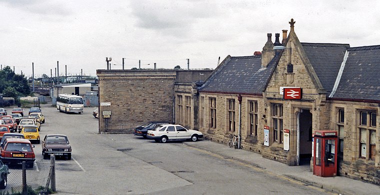
Photo: Ben Brooksbank, CC BY-SA 2.0.
Carnforth is a railway station on the Bentham and Furness Lines, 6 miles north of Lancaster, England, which serves the market town of Carnforth, Lancashire. Carnforth railway station is situated 2,300 feet south of Millhead Crown Green Bowls Club.
St Oswald's Church
Church
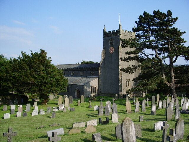
Photo: Alexander P Kapp, CC BY-SA 2.0.
St Oswald's Church is in the village of Warton, Lancashire, England. St Oswald's Church is situated 3,100 feet north of Millhead Crown Green Bowls Club.
Christ Church
Church
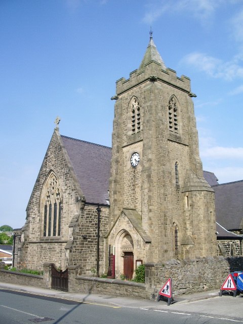
Photo: Alexander P Kapp, CC BY-SA 2.0.
Christ Church is situated 2,800 feet south of Millhead Crown Green Bowls Club.
Localities in the Area
Borwick
Village

Photo: Alexander P Kapp, CC BY-SA 2.0.
Borwick is a village and civil parish in the City of Lancaster district of Lancashire, England, about 8 miles north of Lancaster, on the Lancaster Canal. Borwick is situated 2 miles northeast of Millhead Crown Green Bowls Club.
Priest Hutton
Village

Photo: David Medcalf, CC BY-SA 2.0.
Priest Hutton is a village and civil parish in Lancashire, England. Priest Hutton is situated 2½ miles northeast of Millhead Crown Green Bowls Club.
Yealand Storrs
Hamlet

Photo: Tom Richardson, CC BY-SA 2.0.
Yealand Storrs is a hamlet in the English county of Lancashire. Yealand Storrs is situated 3 miles north of Millhead Crown Green Bowls Club.
Millhead Crown Green Bowls Club
- Type: Pitch
- Categories: recreation area, bowls and sports location
- Location: Carnforth, Lancaster, Lancashire, North West England, England, United Kingdom, Britain and Ireland, Europe
- View on OpenStreetMap
Latitude
54.13577° or 54° 8' 9" northLongitude
-2.76916° or 2° 46' 9" westOpen Location Code
9C6V46PJ+88OpenStreetMap ID
way 366463389OpenStreetMap Feature
leisure=pitchOpenStreetMap Feature
sport=bowlsMillhead Crown Green Bowls Club Satellite Map
© OpenStreetMap, Mapbox and Maxar
Landmarks in the Area
- Millhead Village HallCommunity center
- Keer MarshForest
- Kingdom Hall Of Jehovah's WitnessesChurch, 1,100 feet northwest
- Wheel HolePond, 1,800 feet north
- Free Methodist ChurchChurch, 2,000 feet south
Places in the Area
- Lonsdale GarageAutomobile repair shop
- J N WilsonFuneral home, 490 feet northwest
- Carlisle TerraceBus stop, 480 feet southwest
Escape to a Random Place
Discover other pitches in the world.
About Mapcarta. Thanks to Mapbox for providing amazing maps. Data © OpenStreetMap contributors and available under the Open Database License. Text is available under the CC BY-SA 4.0 license, excluding photos, directions and the map. Photo: Jay Son, CC BY-SA 3.0.