Isham Cricket Club
Isham Cricket Club is a recreation area in Orlingbury, Wellingborough District, England located on Orlingbury Road. Isham Cricket Club is situated close to the forests Big Covert and Lammas Spinney.Notable Places in the Area
Church of All Saints, Pytchley
Church

Photo: Will Lovell, CC BY-SA 2.0.
Church of All Saints, Pytchley is situated 1¼ miles northwest of Isham Cricket Club.
Harrowden Hall
Sports venue
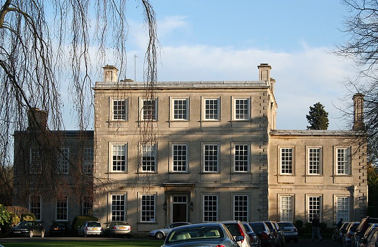
Photo: Wikimedia, CC BY-SA 3.0.
Harrowden Hall is a sports venue situated 1½ miles southeast of Isham Cricket Club.
Church of All Saints
Church

Photo: M J Richardson, CC BY-SA 2.0.
Church of All Saints is situated 1½ miles southeast of Isham Cricket Club.
Localities in the Area
Great Harrowden
Village
Photo: M J Richardson, CC BY-SA 2.0.
Great Harrowden is a village and civil parish in North Northamptonshire, with a population at the 2011 census of 161.
Hardwick
Village
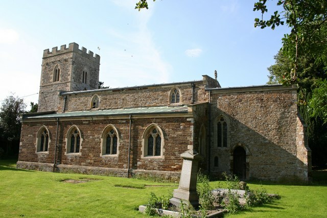
Photo: Richard Croft, CC BY-SA 2.0.
Hardwick is a small village in North Northamptonshire, England, close to the town of Wellingborough. Hardwick is situated 2 miles southwest of Isham Cricket Club.
Barton Seagrave
Village
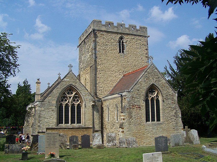
Photo: Geoff Pick, CC BY-SA 2.0.
Barton Seagrave is a large village and civil parish in the North Northamptonshire, England. Barton Seagrave is situated 2½ miles northeast of Isham Cricket Club.
Isham Cricket Club
- Type: Cricket
- Address: 225 Orlingbury Road, Kettering, NN14 1HW
- Categories: recreation area and sports location
- Location: Orlingbury, Wellingborough District, Northamptonshire, East Midlands, England, United Kingdom, Britain and Ireland, Europe
- View on OpenStreetMap
Latitude
52.34711° or 52° 20' 50" northLongitude
-0.72537° or 0° 43' 31" westOpen Location Code
9C4X87WF+RVOpenStreetMap ID
way 328879759OpenStreetMap Feature
landuse=recreation_groundOpenStreetMap Feature
sport=cricketIsham Cricket Club Satellite Map
© OpenStreetMap, Mapbox and Maxar
Landmarks in the Area
- Big CovertForest
- Lammas SpinneyForest
- Orlingbury Village HallCommunity center, 3,100 feet southwest
- St. Mary’s ChurchChurch, 3,600 feet southwest
- St. Mary’s ChurchyardCemetery, 3,600 feet southwest
Places in the Area
- Lodge FarmFarm, 1,400 feet northwest
- America FarmFarm, 1,500 feet southwest
- Ryehill FarmFarm, 2,700 feet northeast
- IsasBuilding, 3,200 feet southwest
- The RectoryHouse, 3,300 feet southwest
Popular Destinations in Northamptonshire
Discover Northampton, Corby, Silverstone and Kettering.
Escape to a Random Place
Discover other destinations in the world.
About Mapcarta. Thanks to Mapbox for providing amazing maps. Data © OpenStreetMap contributors and available under the Open Database License. Text is available under the CC BY-SA 4.0 license, excluding photos, directions and the map. Photo: Wikimedia, CC0.