Cockfosters Bowling Club
Cockfosters Bowling Club is a pitch in Enfield, Greater London, England. Cockfosters Bowling Club is situated close to Cockfosters Cricket Club and Christ Church, Cockfosters.Notable Places in the Area
Cockfosters tube station
Metro station
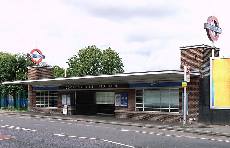
Photo: Wikimedia, CC BY-SA 2.0.
Cockfosters is a London Underground station. It is located on Cockfosters Road approximately nine miles from central London and serves Cockfosters. Cockfosters tube station is situated 1,100 feet southeast of Cockfosters Bowling Club.
Christ Church, Cockfosters
Church

Photo: Philafrenzy, CC BY-SA 4.0.
Christ Church, Cockfosters, is a conservative evangelical Anglican church in Chalk Lane, in the north London suburb of Cockfosters. Christ Church, Cockfosters is situated 550 feet south of Cockfosters Bowling Club.
Trent Park
Park
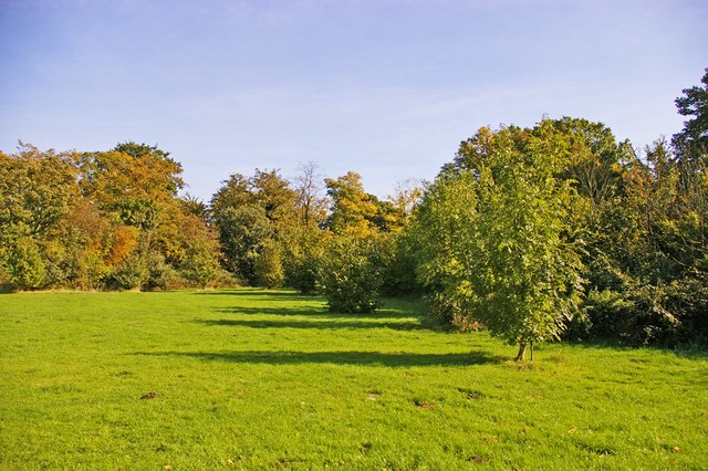
Photo: Christine Matthews, CC BY-SA 2.0.
Trent Park is an English country house, together with its former extensive grounds, in north London. Trent Park is situated 4,000 feet northeast of Cockfosters Bowling Club.
Localities in the Area
Cockfosters
Suburb
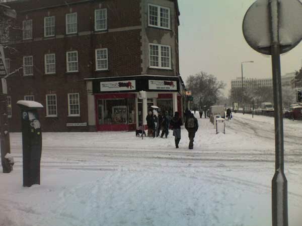
Photo: Starlingjon, CC BY-SA 3.0.
Cockfosters is a suburb of north London to the east of Chipping Barnet, lying partly in the London Borough of Enfield and partly in the London Borough of Barnet.
New Barnet
Suburb
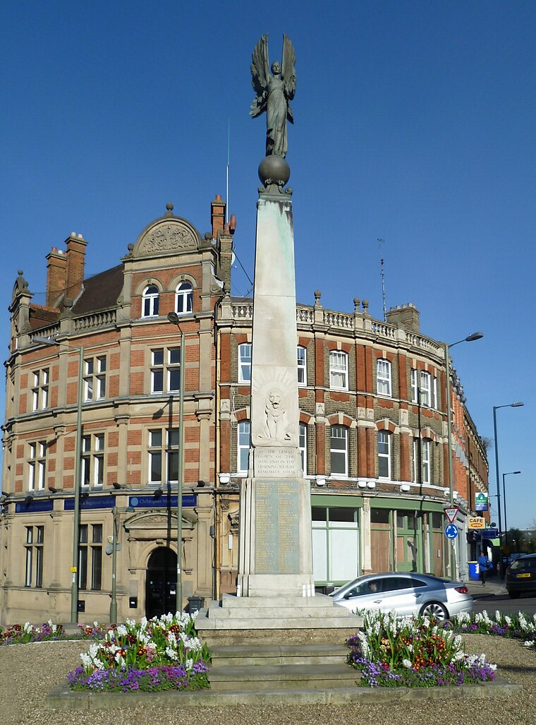
Photo: Philafrenzy, CC BY-SA 4.0.
New Barnet is a neighbourhood on the north east side of the London Borough of Barnet.
East Barnet
Suburb

Photo: Philafrenzy, CC BY-SA 4.0.
East Barnet is an area of north London within the London Borough of Barnet bordered by New Barnet, Cockfosters and Southgate.
Cockfosters Bowling Club
- Type: Pitch
- Categories: recreation area, bowls and sports location
- Location: Enfield, Greater London, England, United Kingdom, Britain and Ireland, Europe
- View on OpenStreetMap
Latitude
51.65305° or 51° 39' 11" northLongitude
-0.15263° or 0° 9' 10" westOpen Location Code
9C3XMR3W+6WOpenStreetMap ID
way 179434031OpenStreetMap Feature
leisure=pitchOpenStreetMap Feature
sport=bowlsCockfosters Bowling Club Satellite Map
© OpenStreetMap, Mapbox and Maxar
Landmarks in the Area
- Cockfosters Cricket Club410 feet southeast
- Trent Park CemeteryCemetery, 910 feet east
- Cockfosters StationRailway station, 950 feet southeast
- Ludgrove Playing FieldPark, 1,300 feet west
- Go-ApeClimbing location, 1,400 feet northeast
Places in the Area
- Trent Country ParkBus stop, 570 feet north
- BPGas station, 630 feet southeast
- The Cock InnPub, 670 feet northwest
- M&S Simply FoodConvenience store, 690 feet southeast
- Cockfosters Scout GroupBuilding, 730 feet southeast
Popular Destinations in England
Discover London, Manchester, Sheffield and Leeds.
Escape to a Random Place
Discover other pitches in the world.
About Mapcarta. Thanks to Mapbox for providing amazing maps. Data © OpenStreetMap contributors and available under the Open Database License. Text is available under the CC BY-SA 4.0 license, excluding photos, directions and the map. Photo: sidibousaid, CC BY 2.0.