South Molton Rugby Club
South Molton Rugby Club is a stadium in South Molton, North Devon District, England. South Molton Rugby Club is situated close to South Molton Rugby Football Club lower pitch and the industrial building Maclins Quarry Recycling Centre.Notable Places in the Area
Church of St Mary Magdalene
Church

Photo: Wikimedia, CC BY-SA 2.0.
Church of St Mary Magdalene is situated 3,300 feet southwest of South Molton Rugby Club.
South Molton Community College
School
South Molton Community College is a coeducational foundation secondary school located… South Molton Community College is situated 1 mile south of South Molton Rugby Club.
Localities in the Area
South Molton
Town

Photo: Jack1956, CC BY-SA 4.0.
South Molton is a town and civil parish in Devon, England.
North Molton
Village
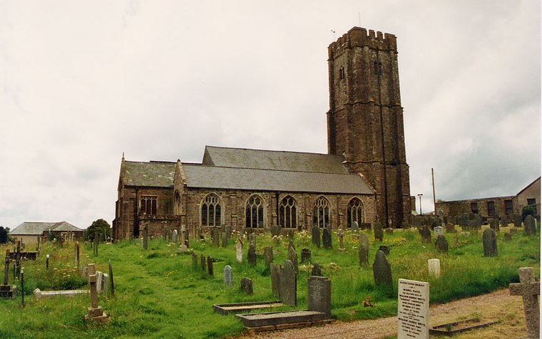
Photo: John Salmon, CC BY-SA 2.0.
North Molton is a village, parish and former manor in North Devon, England. North Molton is situated 2 miles northeast of South Molton Rugby Club.
East Buckland
Village

Photo: Grant Sherman, CC BY-SA 2.0.
East Buckland is a small village and former civil parish, now in the parish of East and West Buckland, in the North Devon district of Devon, England, next to the village of West Buckland. East Buckland is situated 4 miles northwest of South Molton Rugby Club.
South Molton Rugby Club
- Type: Stadium
- Categories: rugby, recreation area, sports location, tourist attraction and tourism
- Location: South Molton, North Devon District, Devon, West Country, England, United Kingdom, Britain and Ireland, Europe
- View on OpenStreetMap
Latitude
51.02679° or 51° 1' 37" northLongitude
-3.82884° or 3° 49' 44" westOpen Location Code
9C3R25GC+PFOpenStreetMap ID
way 164574854OpenStreetMap Feature
leisure=stadiumOpenStreetMap Feature
sport=rugby_unionSouth Molton Rugby Club Satellite Map
© OpenStreetMap, Mapbox and Maxar
Landmarks in the Area
- South Molton Rugby Football Club lower pitchPitch, 640 feet southeast
- Maclins Quarry Recycling CentreIndustrial building, 790 feet south
- Rock and RapidSports venue, 930 feet north
- community woodlands extensionForest
- community woodlandsPark, 1,500 feet southwest
Places in the Area
- South Molton SubstationElectrical substation
- DW Car RepairAutomobile repair shop, 900 feet southeast
- Pathfields Industrial Estate1,100 feet west
- Riverside Camping & Caravan ParkBuilding, 1,600 feet northeast
- Riverside Country ClubPub, 1,700 feet northeast
Escape to a Random Place
Discover other stadiums in the world.
About Mapcarta. Thanks to Mapbox for providing amazing maps. Data © OpenStreetMap contributors and available under the Open Database License. Text is available under the CC BY-SA 4.0 license, excluding photos, directions and the map. Photo: matthewhartley369, CC BY-SA 2.0.