Benfleet Cricket & Social Club
Benfleet Cricket & Social Club is a building in Castle Point District, Essex, England located on Manor Road. Benfleet Cricket & Social Club is situated nearby to the recreation area Woodside Park and the forest North Benfleet Hall Wood.Notable Places in the Area
Thundersley Great Common
Forest

Photo: Dave Playfair, CC BY-SA 2.0.
Thundersley Great Common or Thundersley Common is an 8.9-hectare biological Site of Special Scientific Interest in Thundersley in Essex.
Rayleigh railway station
Railway station

Photo: John Myers, CC BY-SA 2.0.
Rayleigh railway station is on the Shenfield to Southend Line in the East of England, serving the town of Rayleigh, Essex. Rayleigh railway station is situated 2 miles northeast of Benfleet Cricket & Social Club.
Appleton School
School

Photo: Trevor Harris, CC BY-SA 2.0.
The Appleton School is a secondary school and sixth form with academy status located in Croft Road, Benfleet, Essex, England. Appleton School is situated 1 mile south of Benfleet Cricket & Social Club.
Localities in the Area
North Benfleet
Village
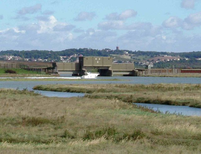
Photo: Glyn Baker, CC BY-SA 2.0.
North Benfleet is a village and former civil parish, now in the parish of Bowers Gifford and North Benfleet, in the Basildon district of Essex, England, located between the towns of Basildon to the west and South Benfleet to the east.
Bowers Gifford
Village

Photo: Glyn Baker, CC BY-SA 2.0.
Bowers Gifford is a small village within the district of Basildon, in Essex, England.
Rayleigh
Town

Photo: Auntalys, CC BY-SA 3.0.
Rayleigh is a market town and civil parish in the Rochford District in Essex, England; it is located between Chelmsford and Southend-on-Sea, 32 miles east of central London. Rayleigh is situated 2 miles northeast of Benfleet Cricket & Social Club.
Benfleet Cricket & Social Club
- Type: Building
- Address: 236 Manor Road, Benfleet, SS7 4PA
- Location: Castle Point District, Essex, East of England, England, United Kingdom, Britain and Ireland, Europe
- View on OpenStreetMap
Latitude
51.57727° or 51° 34' 38" northLongitude
0.56185° or 0° 33' 43" eastOpen Location Code
9F32HHG6+WPOpenStreetMap ID
way 1019104189OpenStreetMap Feature
building=yesBenfleet Cricket & Social Club Satellite Map
© OpenStreetMap, Mapbox and Maxar
Landmarks in the Area
- Woodside ParkRecreation area, 330 feet northwest
- North Benfleet Hall WoodForest
- Rushbottom Lame Drainage Ponds
- Tarpots Recreation GroundRecreation area, 3,300 feet southwest
- St Peters, ThundersleyChurch, 3,700 feet southeast
Places in the Area
- Warehouse BarBar, 1,000 feet southeast
- Swan Books Finance1,100 feet southeast
- Manor Trading Estate1,300 feet south
- Eversley RoadBus stop, 1,600 feet southwest
- Manor RoadBus stop, 1,600 feet south
Popular Destinations in Essex
Discover Colchester, Chelmsford, Southend-on-Sea and Basildon.
Escape to a Random Place
Discover other buildings in the world.
About Mapcarta. Thanks to Mapbox for providing amazing maps. Data © OpenStreetMap contributors and available under the Open Database License. Text is available under the CC BY-SA 4.0 license, excluding photos, directions and the map. Photo: Wikimedia, CC0.