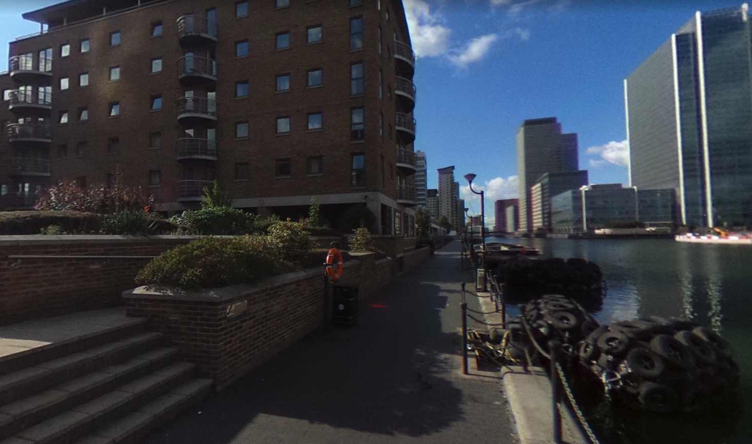
I started this article with the idea of making a short, potted history of a small area on the Isle of Dogs – the area in which I grew up, so it has a special significance to me – but there turned out to be so much to say that it was impossible to keep it short.
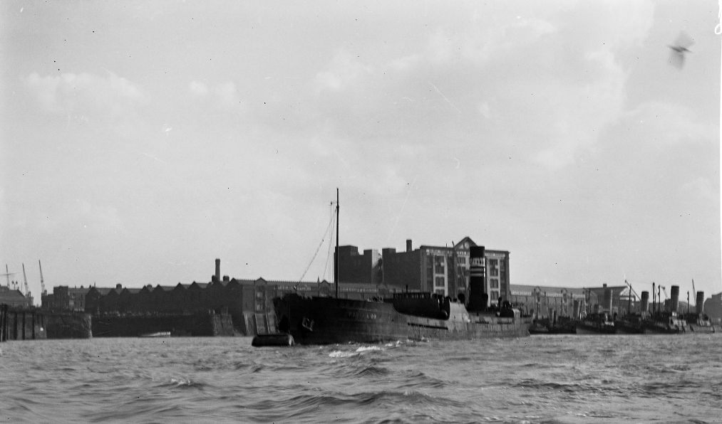
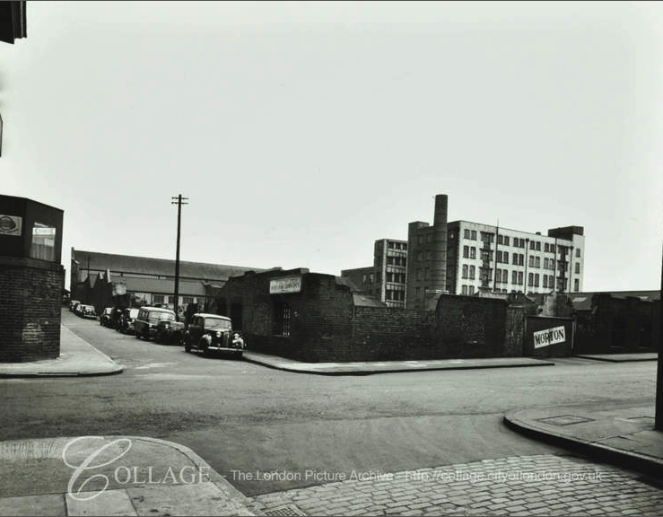
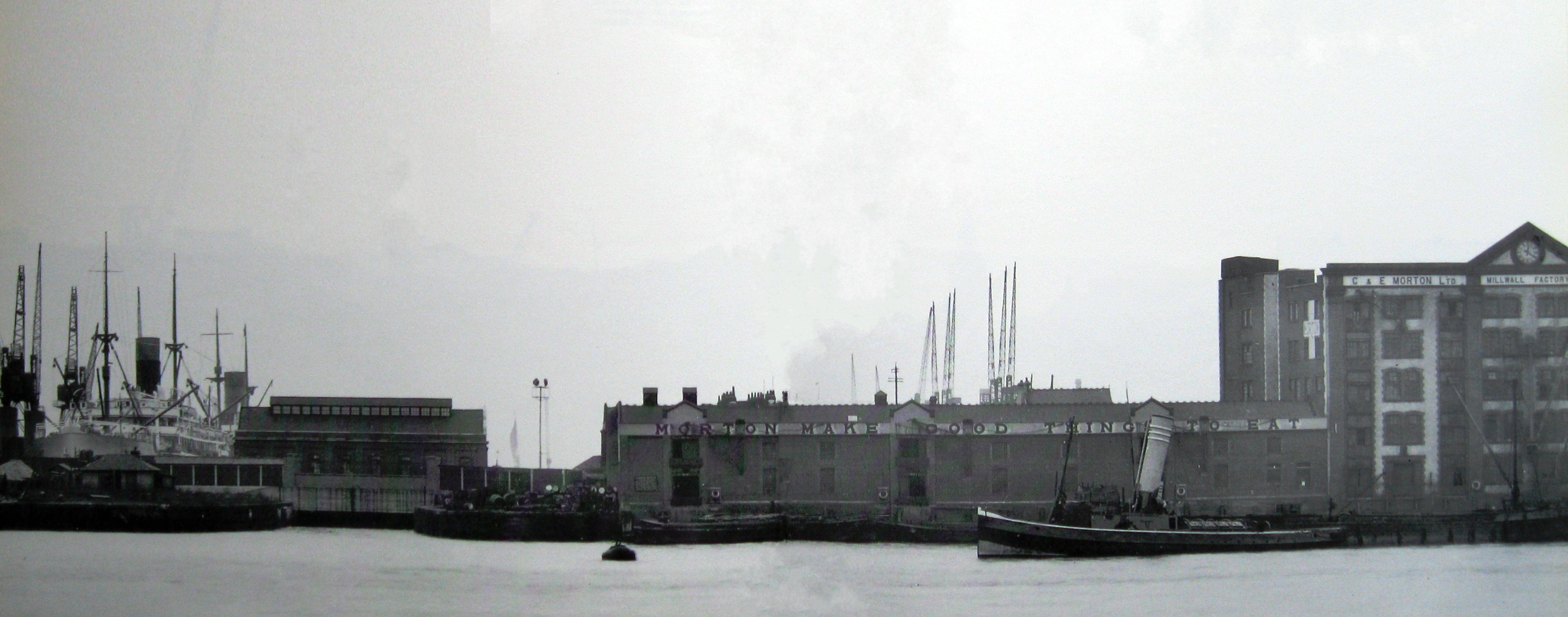
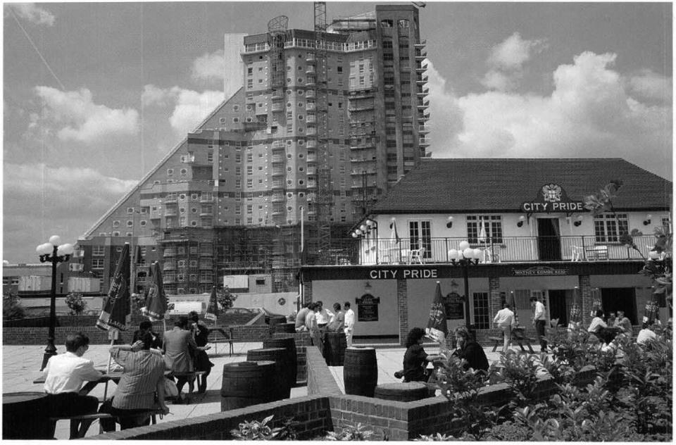
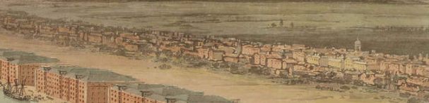
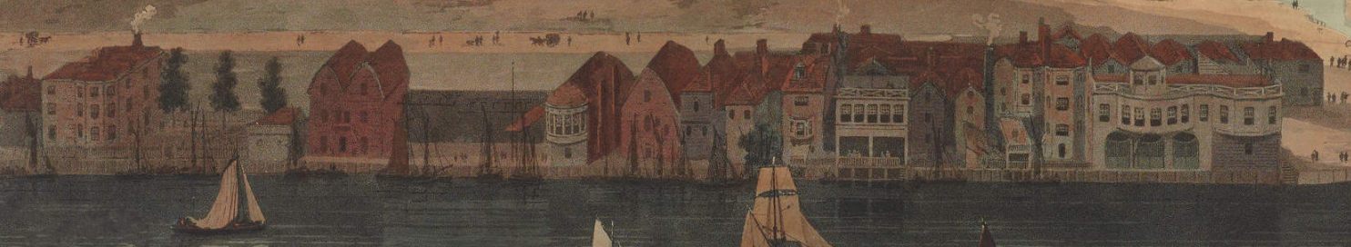
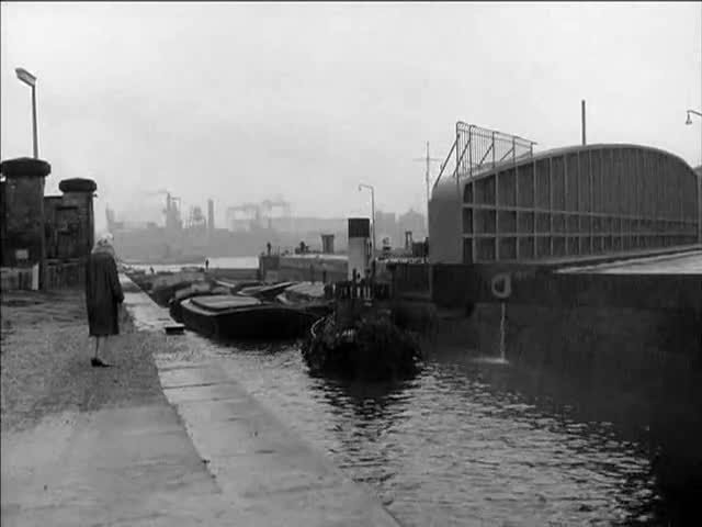
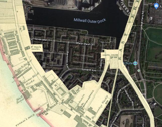
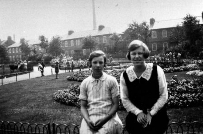
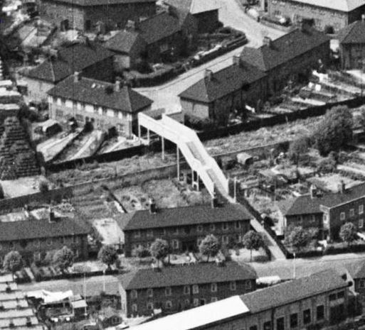
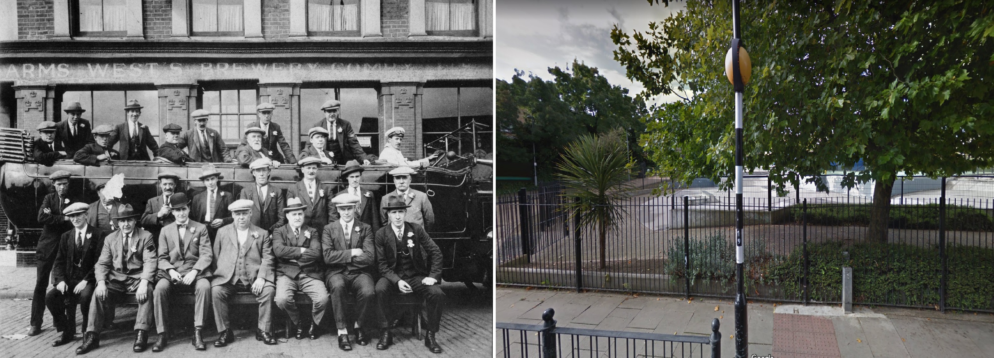
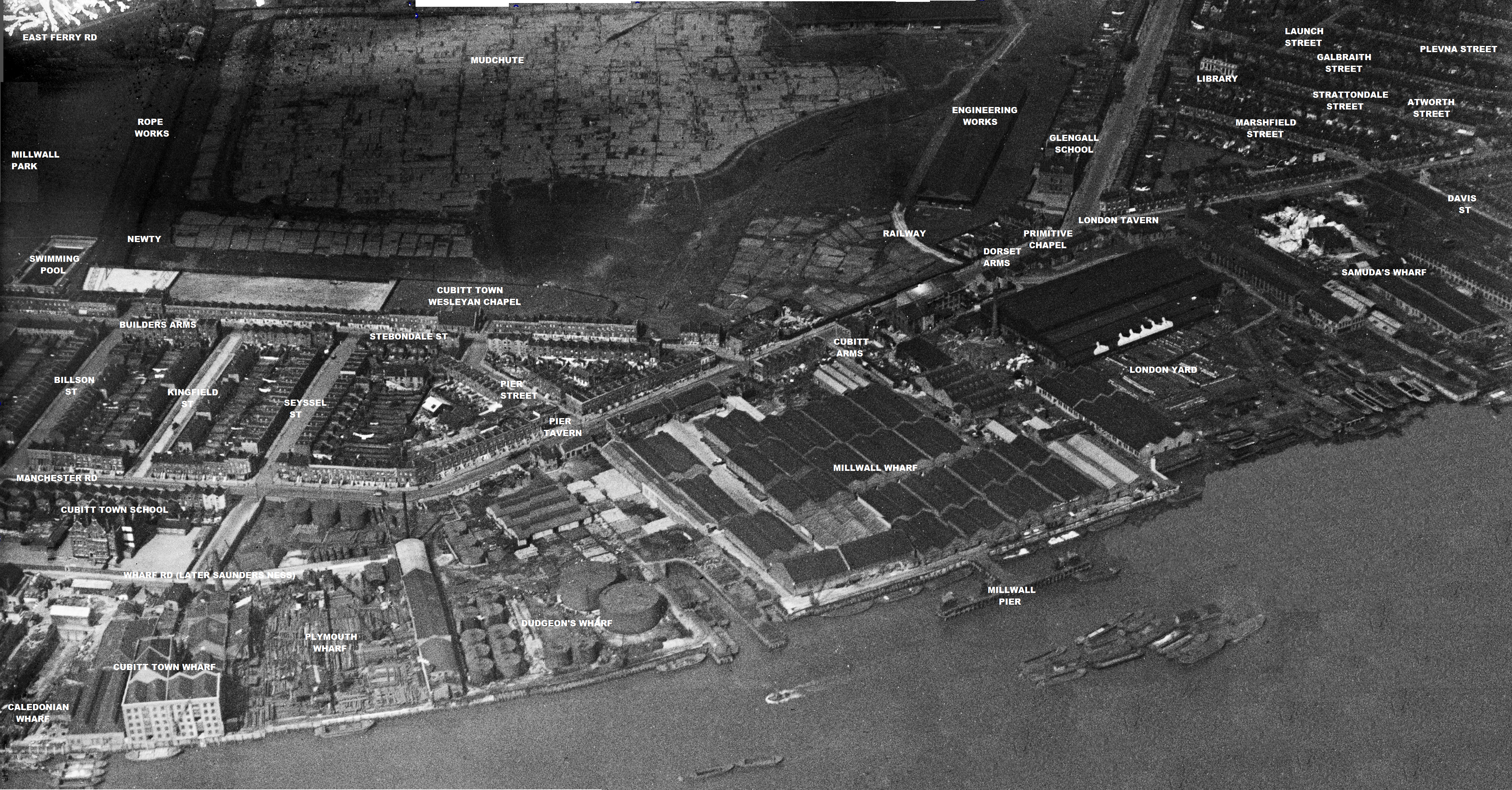
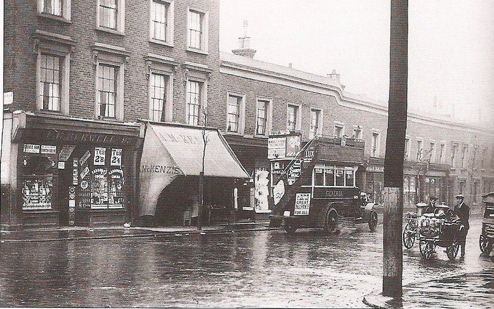
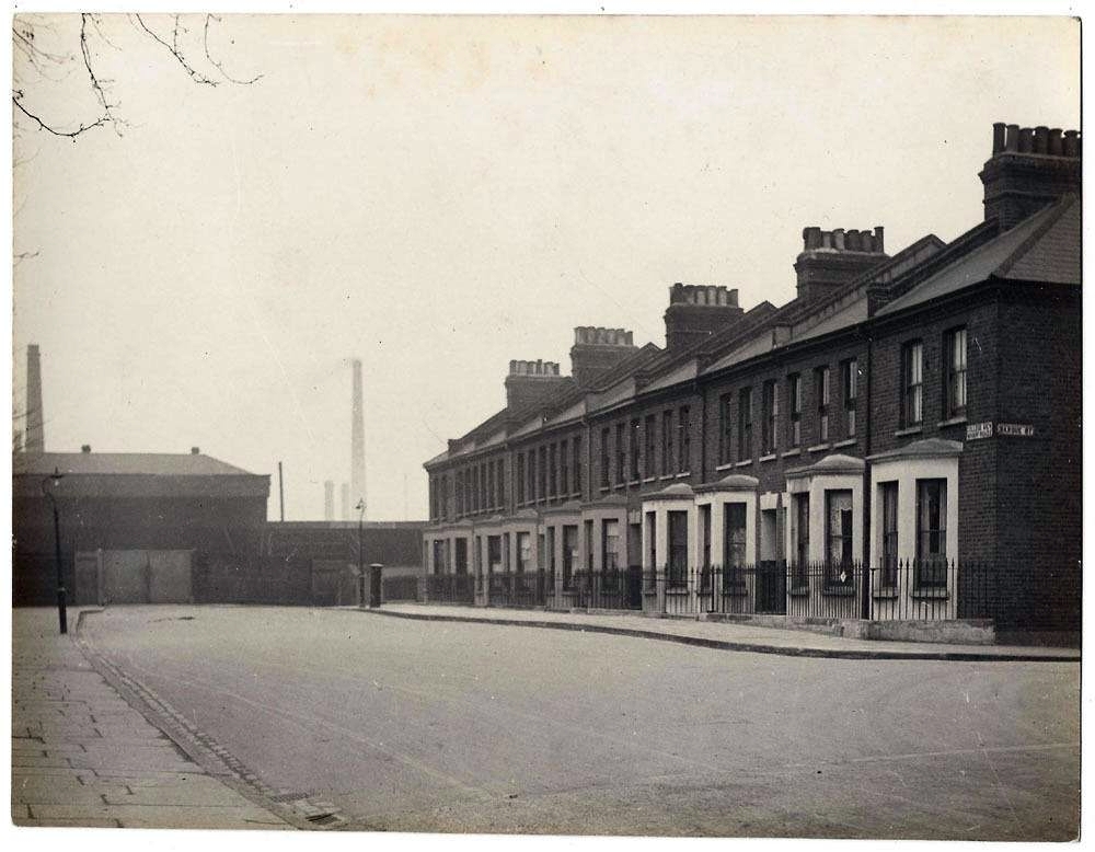
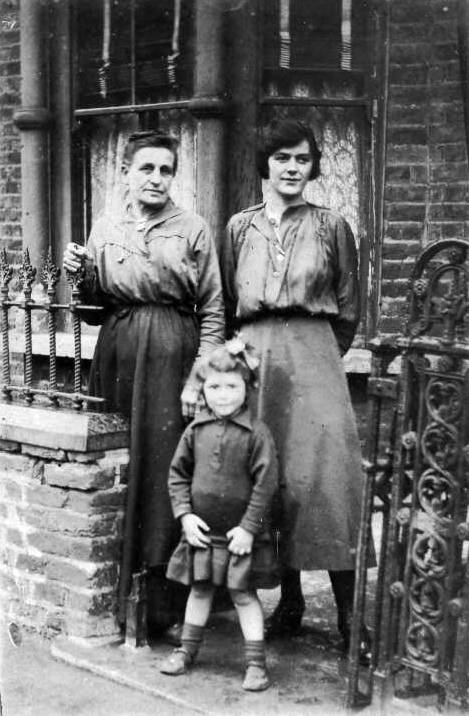
This 1920s photo shows the extent of the little world in which I grew up, the southern end of Cubitt Town (mind you, I’m not that old, we moved there in the late 1960s, but this photo nicely shows how it was before the war).
1920s. Click for full-sized version.
It was a well-defined area, in some ways isolated from the rest of the Island, which itself was for many decades isolated from the rest of East London.
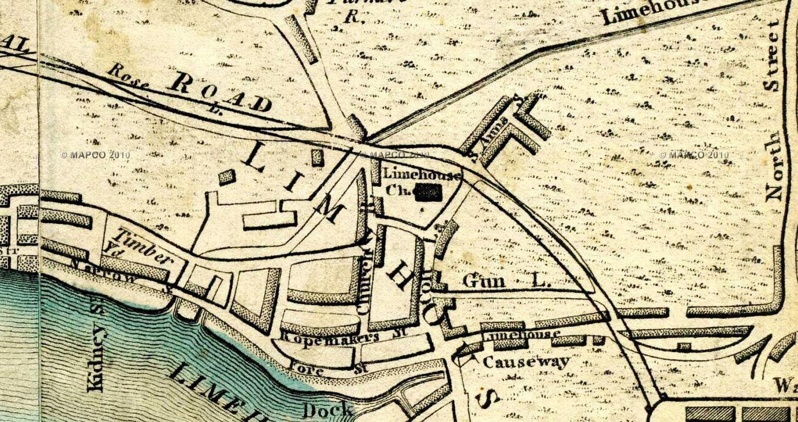
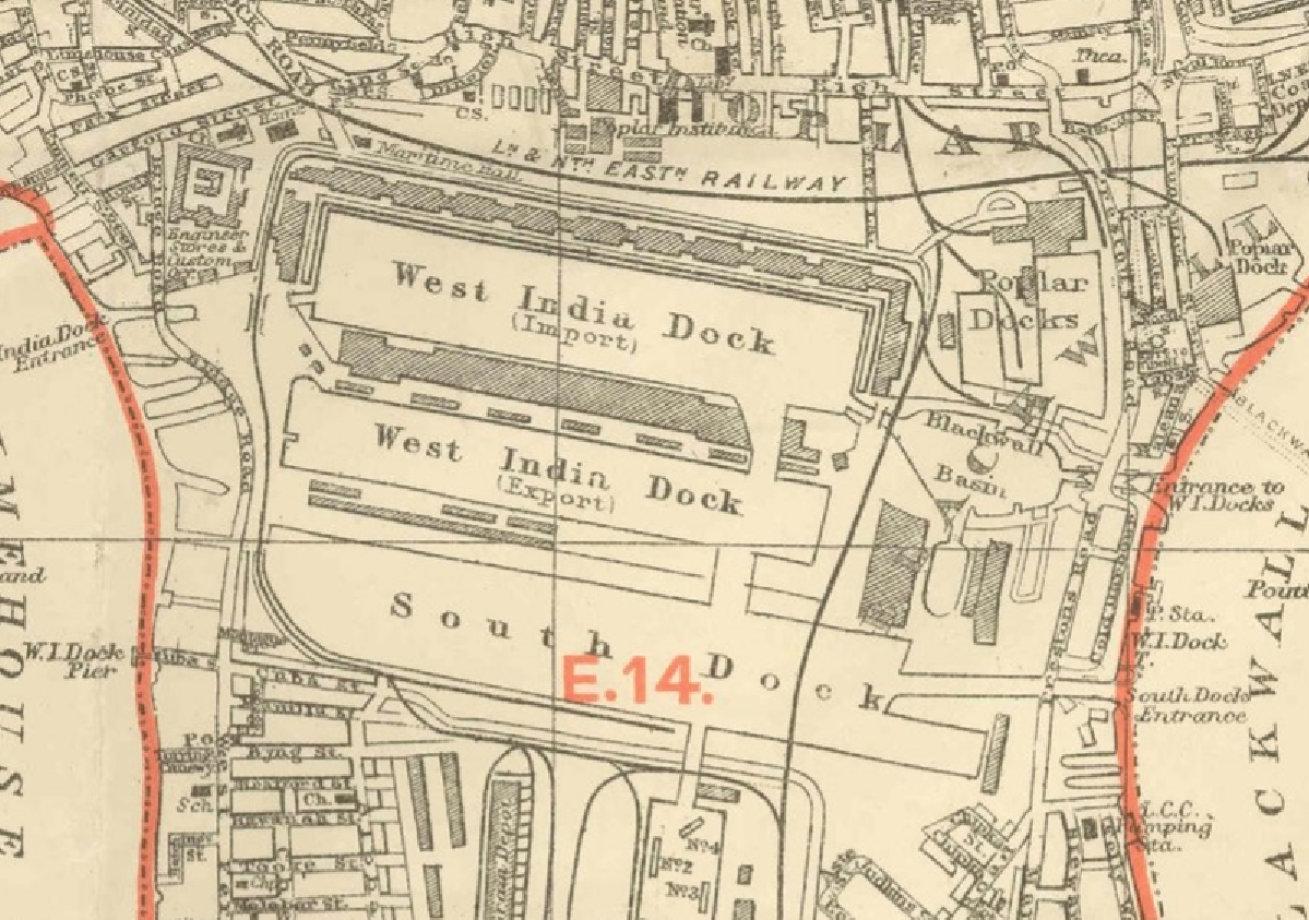
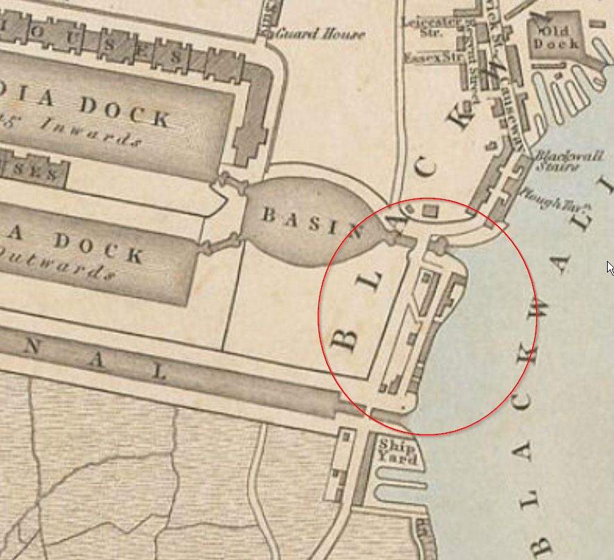
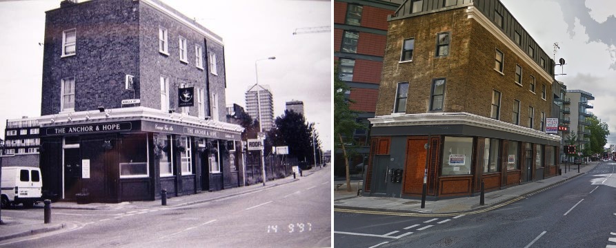
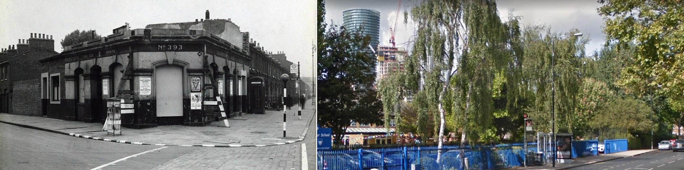
- The western edge was marked by the Nelson and East Ferry Road (which I and everyone else called Farm Road). Beyond the Nelson were the lead works and industry and no houses for a long time, according to my young perspective.
- In the south was the river.
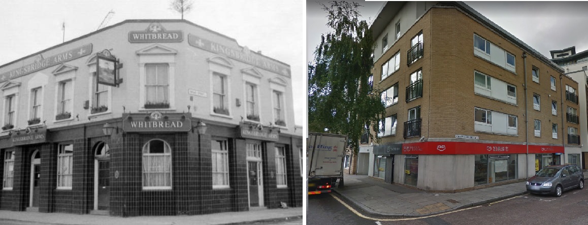
- In the (north) east, the Dorset Arms formed the boundary. Beyond that were estates with kids I didn’t know too well, unless they also went to Harbinger Primary School.
- “Inland”, Millwall Park and the Muddy marked the edge.
Nobody visited unless they had business there, or they were driving the long way round the Island because of a bridger at Kingsbridge or Blue Bridge (and even then you were probably better off driving via East Ferry Rd), or they were lost.
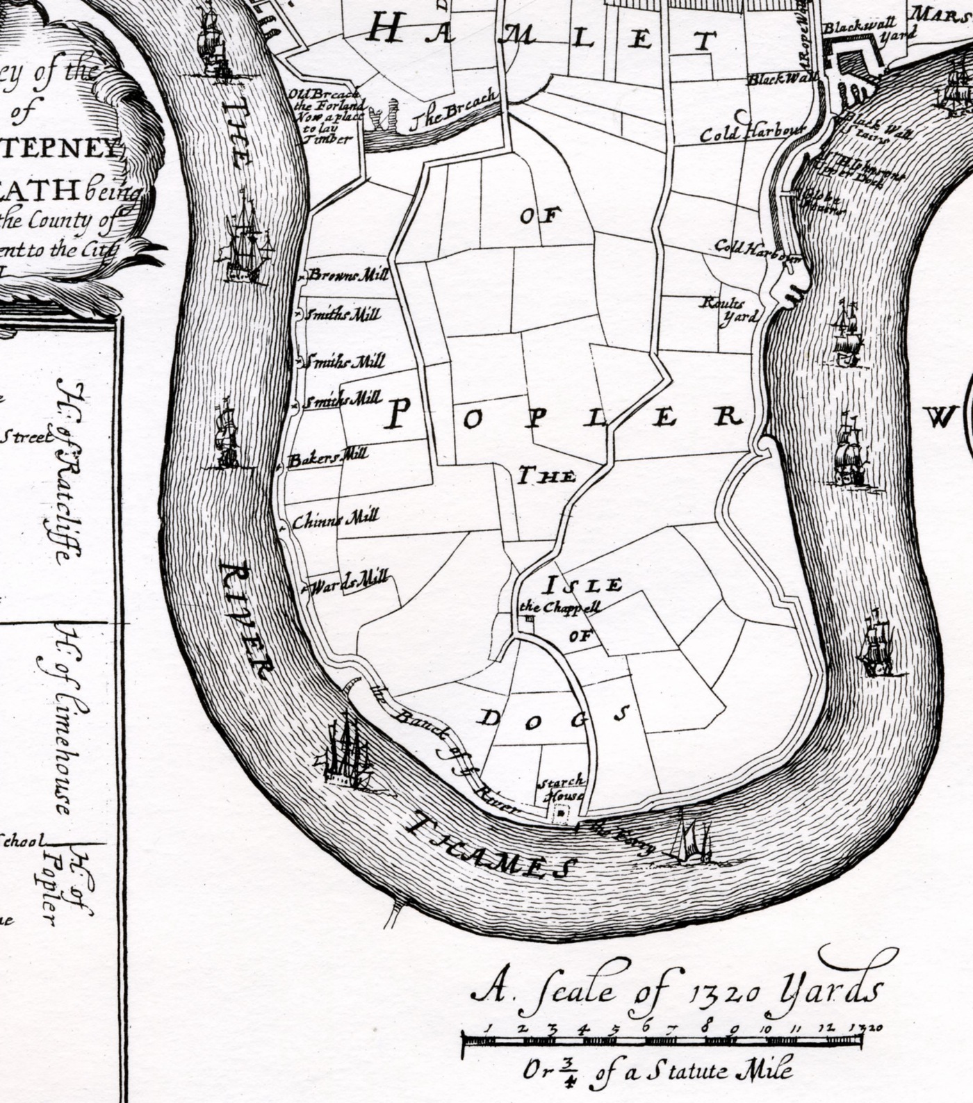
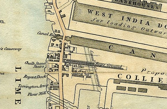
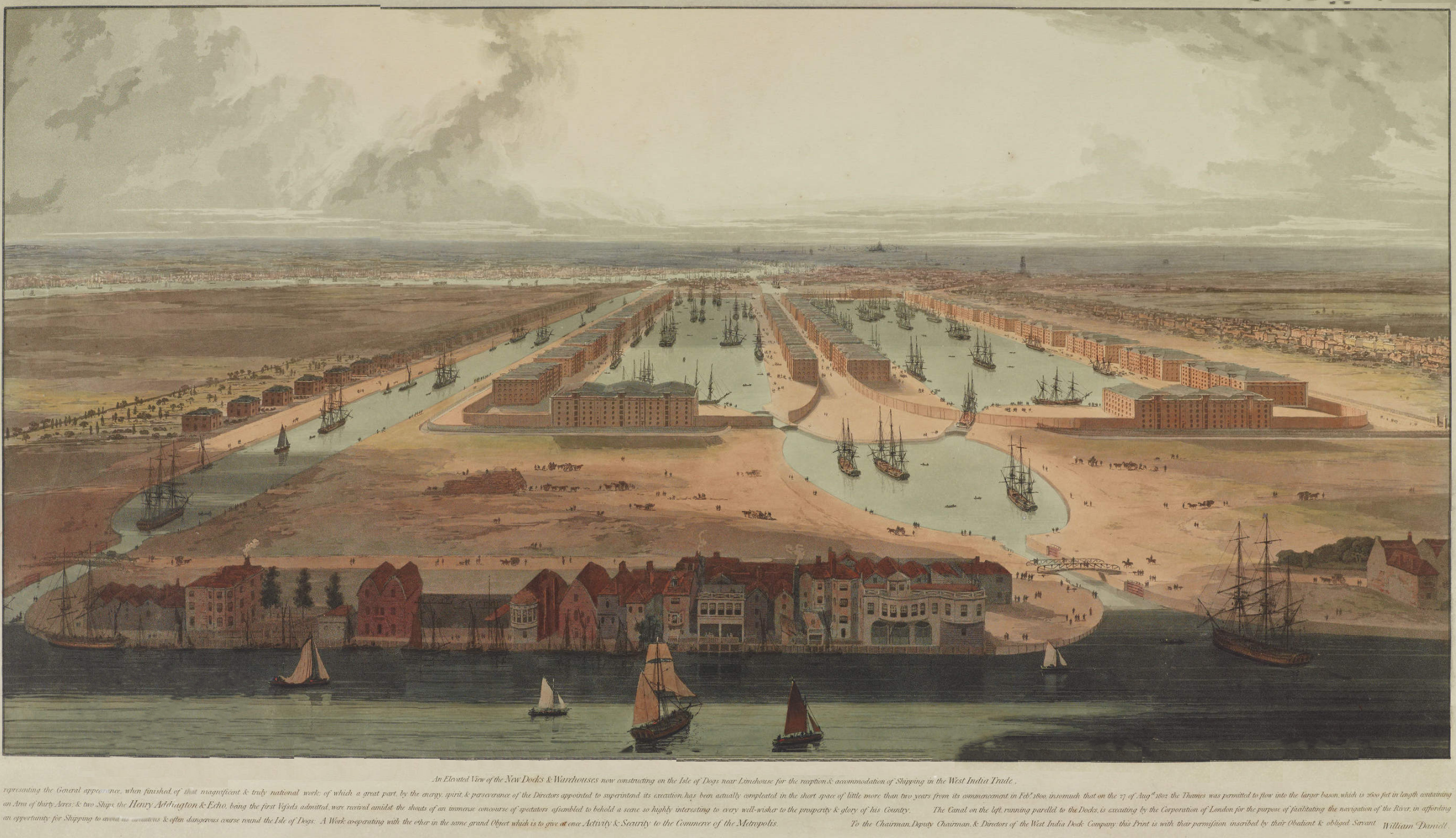
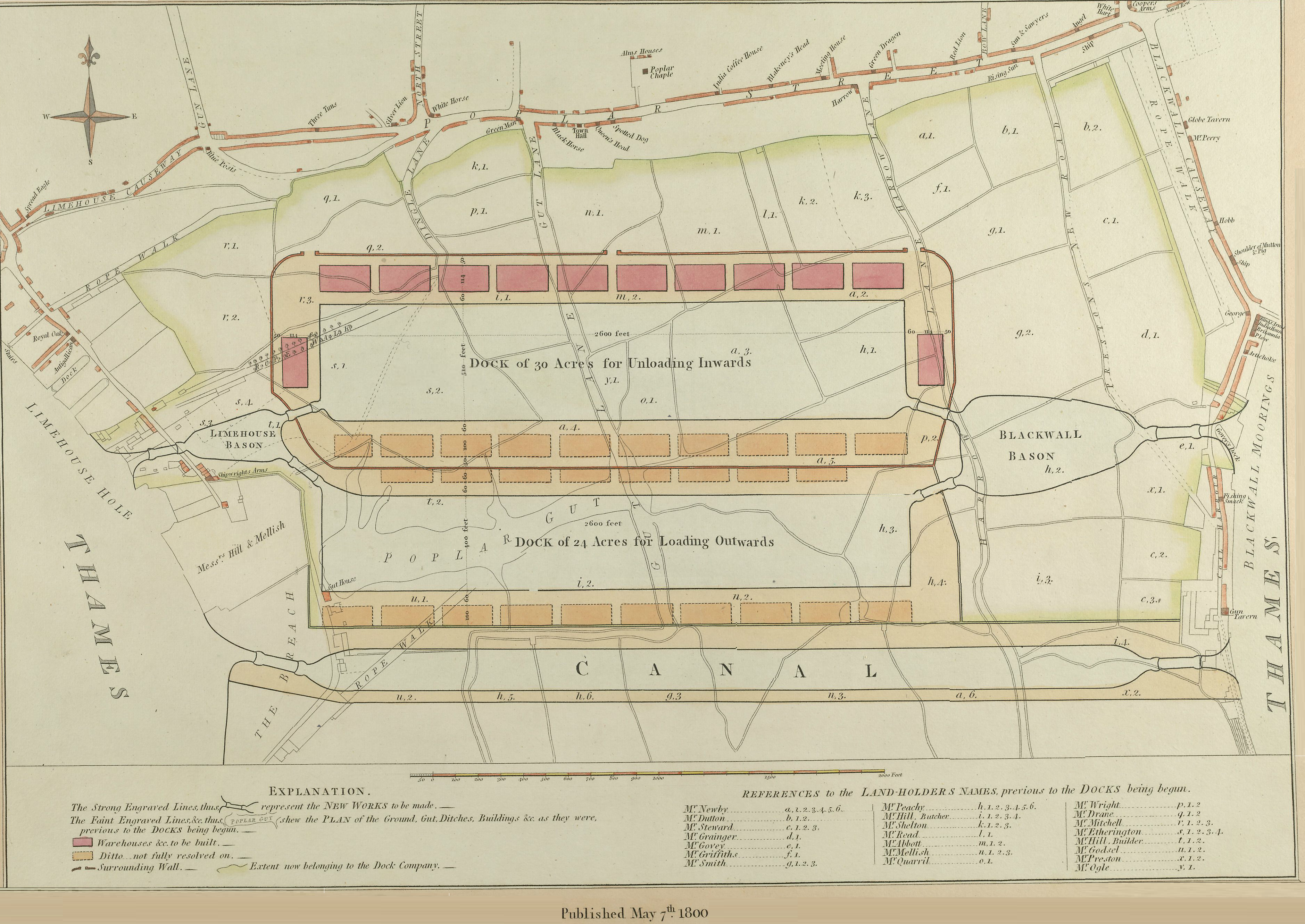
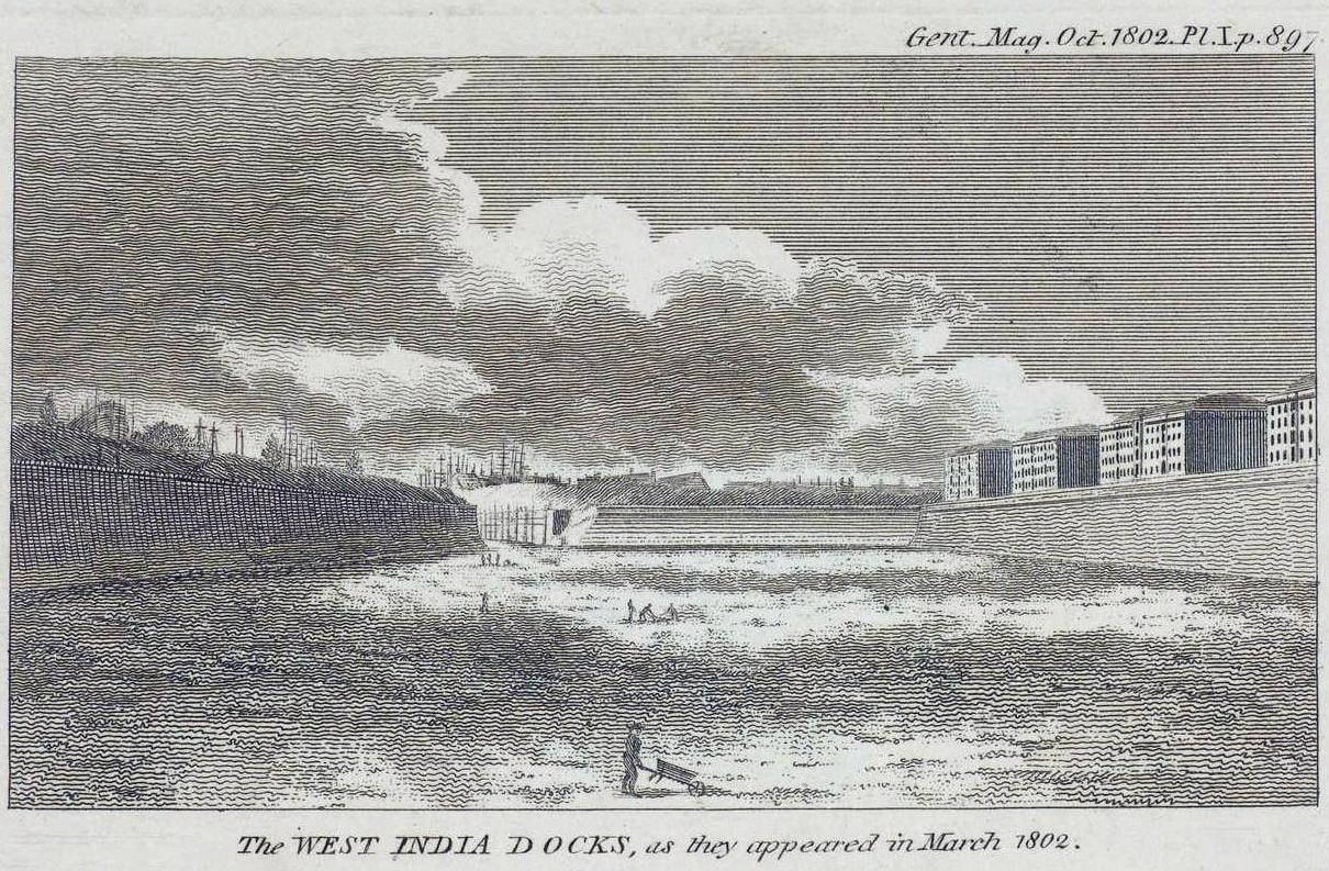
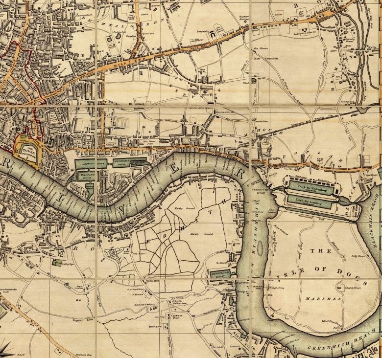
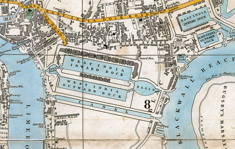
In 1840, the area east of East Ferry Road was largely undeveloped marshland.
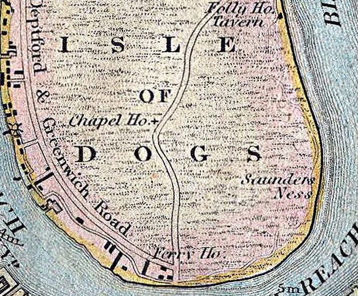
1840
Its potential for development was first realised by William Cubitt, who made his fortune in a building firm in which he was a partner with his brother Thomas. Cubitt later went on to become an MP and then Lord Mayor of London (from 1860). Survey of London:
By four agreements made between 1842 and 1853, Cubitt was responsible for the development of much of the district. All but one of the agreements were with the trustees of Margaret Lauretta, Countess of Glengall, daughter and co-heir of William Mellish, who had inherited her father’s estate on the Isle of Dogs on his death in 1834. Her trustees, acting with the advice of their agent, John Hooper, first came to an arrangement with Cubitt in 1842.
The trustees were aware that the value of the land on the Isle of Dogs was diminishing and their agent was coming under pressure to lower the rents. The land was low lying and its draining and embanking, which were badly needed, could not be effected without a large input of capital. The area had no road access and it was thought at that time that the nature of the ground made it unlikely that a railway could ever be built across it.
Moreover, the foreshore was being steadily eroded by the wash caused by steamships, traffic which was obviously going to increase. Without the embankment of the riverside and the drainage of the inland areas the value of the estate could not be increased and was likely to diminish.
It was anticipated that Cubitt’s investment in the strip of land around the riverfront would benefit the adjoining parts of the Mellish estate by opening them up for development, particularly for house building.
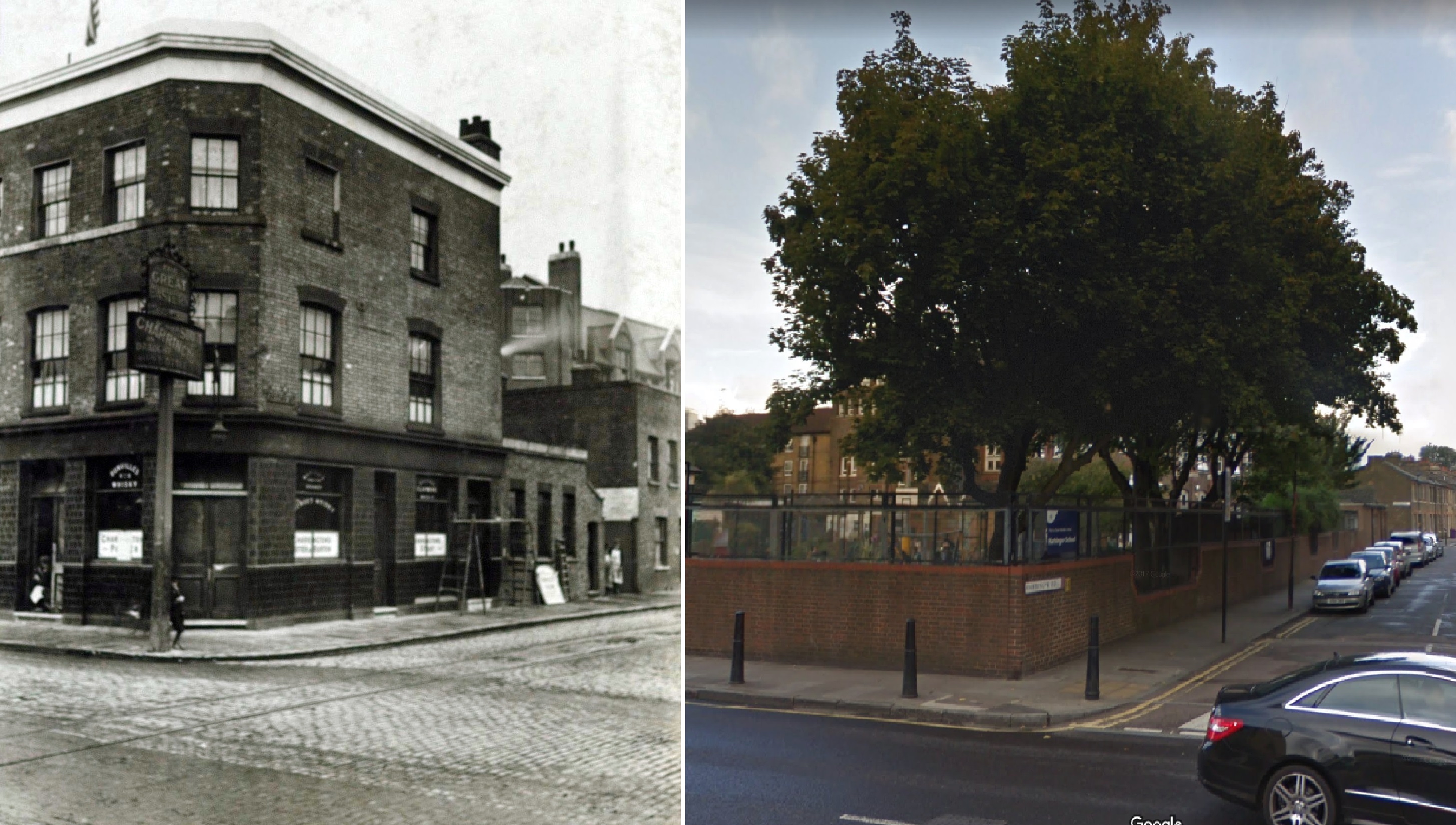
By 1860, the principal roads had been laid out, and some building was complete: Church Street (later renamed Newcastle Street and now Glengarnock Avenue) is fully built, as are Christ Church and Newcastle Arms (later Waterman’s Arms and now the Great Eastern). Cubitt must have been very confident of his speculation if he was prepared to build such a large church and public house before hardly any houses were built.
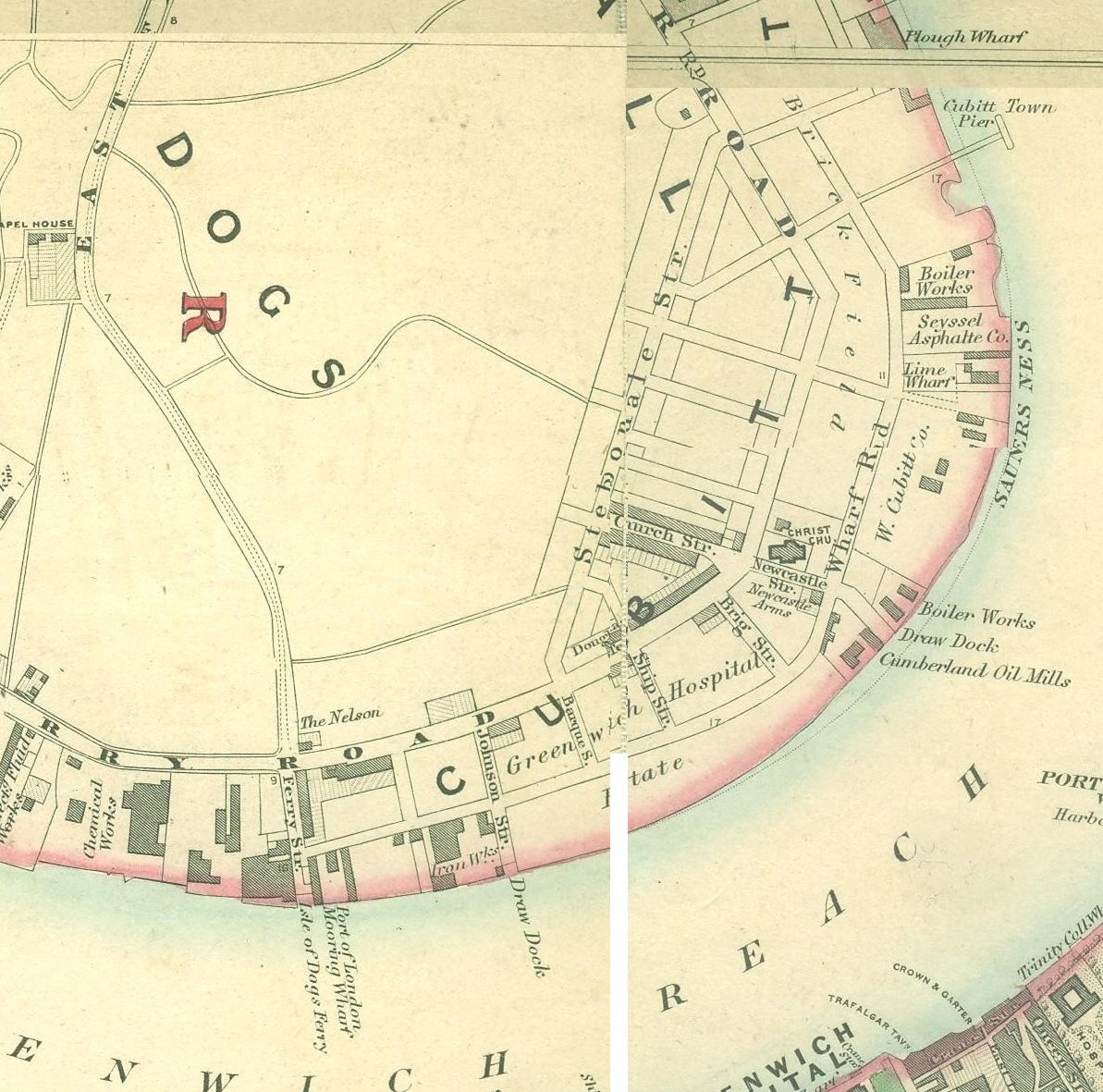
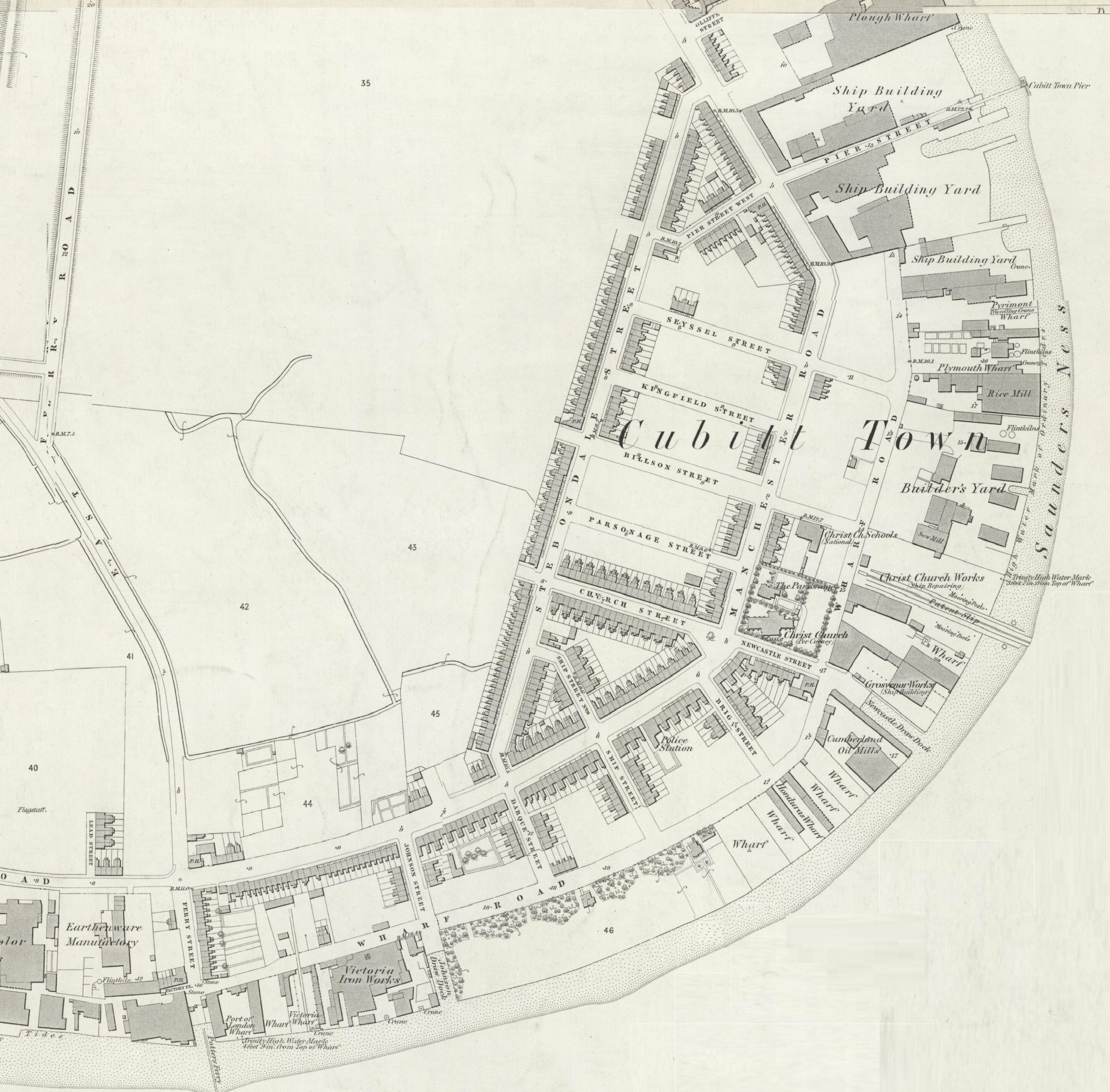
1862
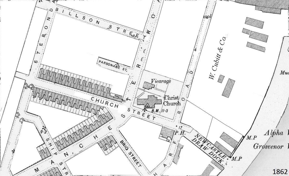
1862, detail
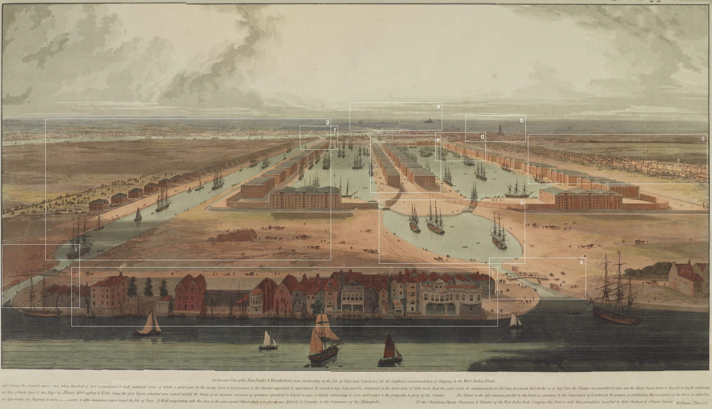
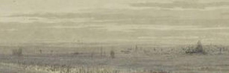
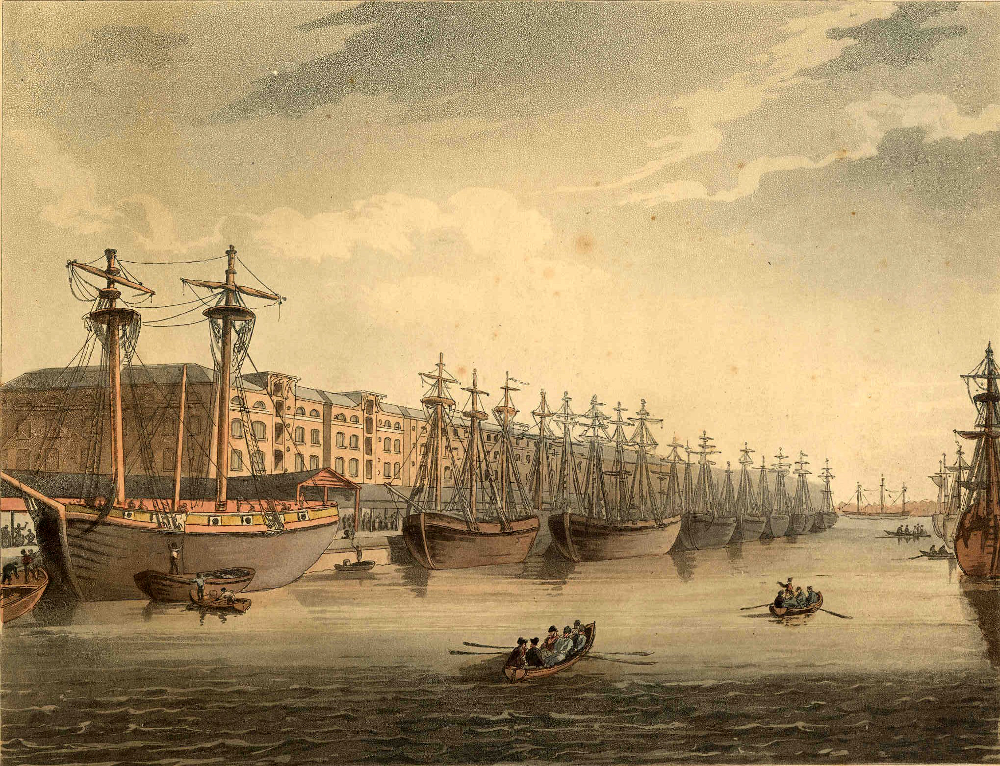
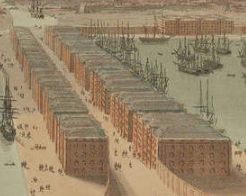
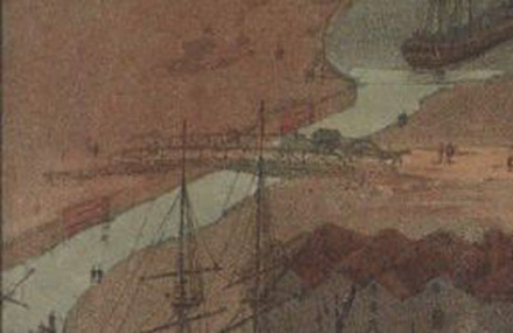
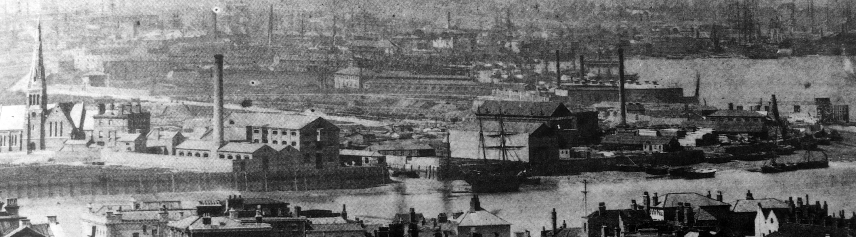
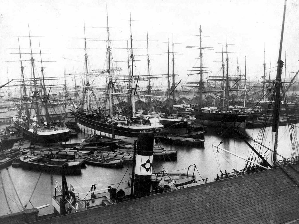
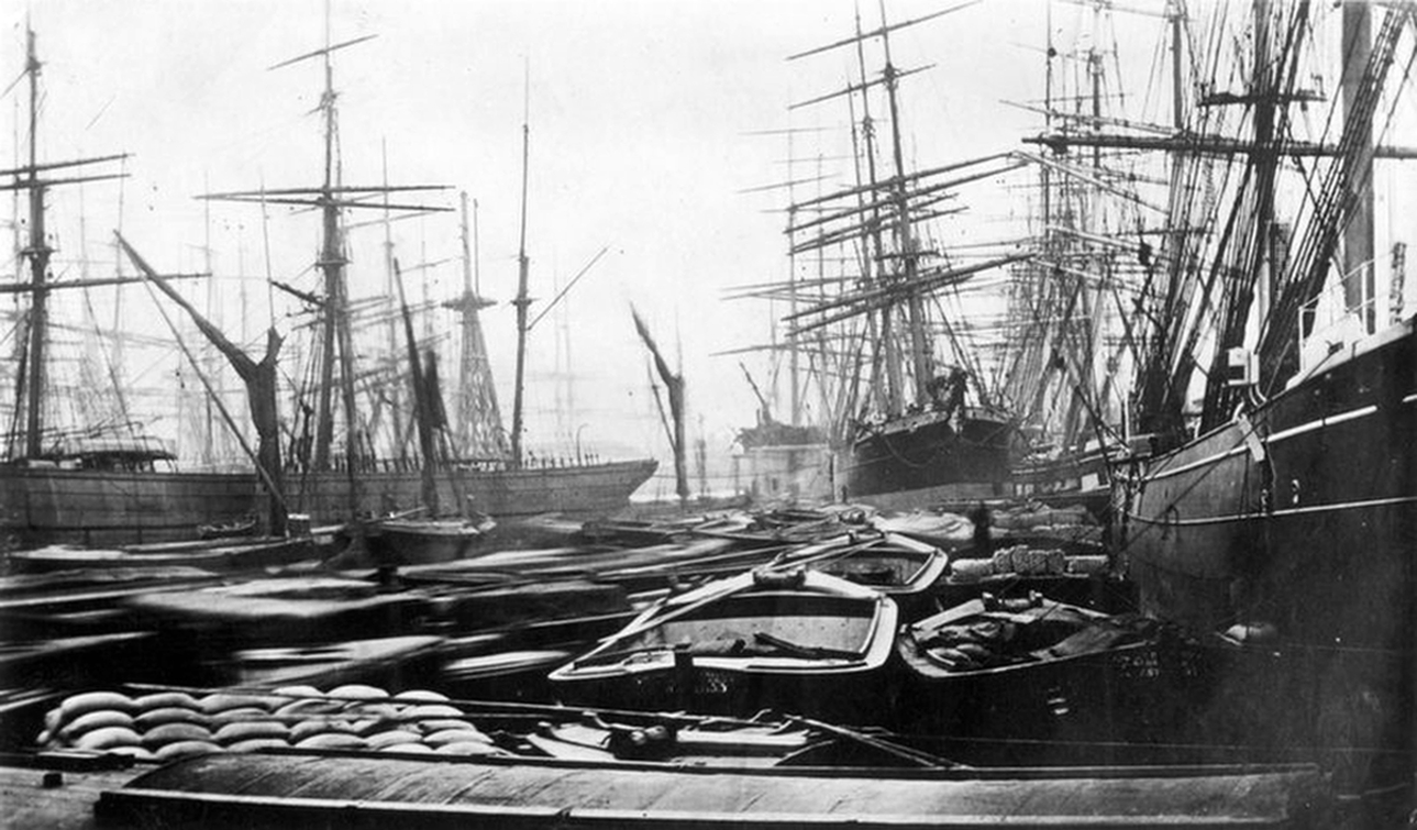
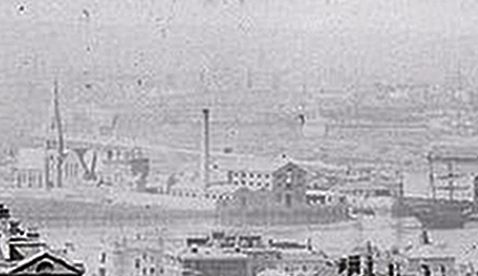
It was around this time that one of the oldest photos of the Island was taken. Actually, the main subject of the photo is the Royal Naval College, but the Island is quite visible in the background; it is mostly empty, with some development along the riverfront, and the masts of the ships in West India Docks in the background.
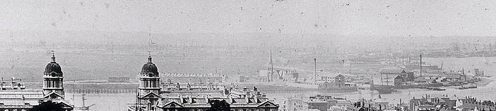
c1855
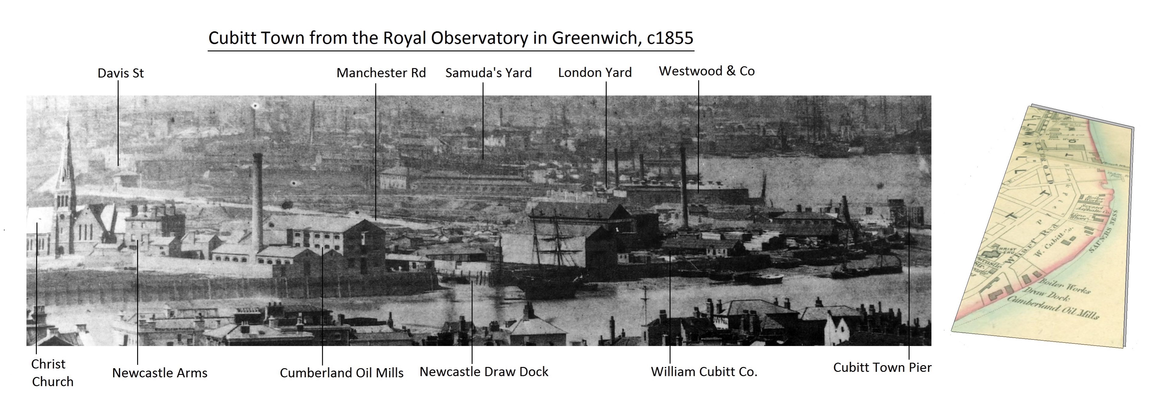
c1855, annotated detail
Housing development continued at a fast pace but came to an abrupt end during the international financial crisis of 1866, caused by market panic after the collapse of the bank Overend, Gurney and Company. This not only brought house building to a halt in Cubitt Town, it devastated the shipping businesses along the Thames.
1870
By now, though, in the approximately three decades since 1840, the start of this story, much had been achieved in Cubitt Town…..
1842 Construction of Manchester Road.
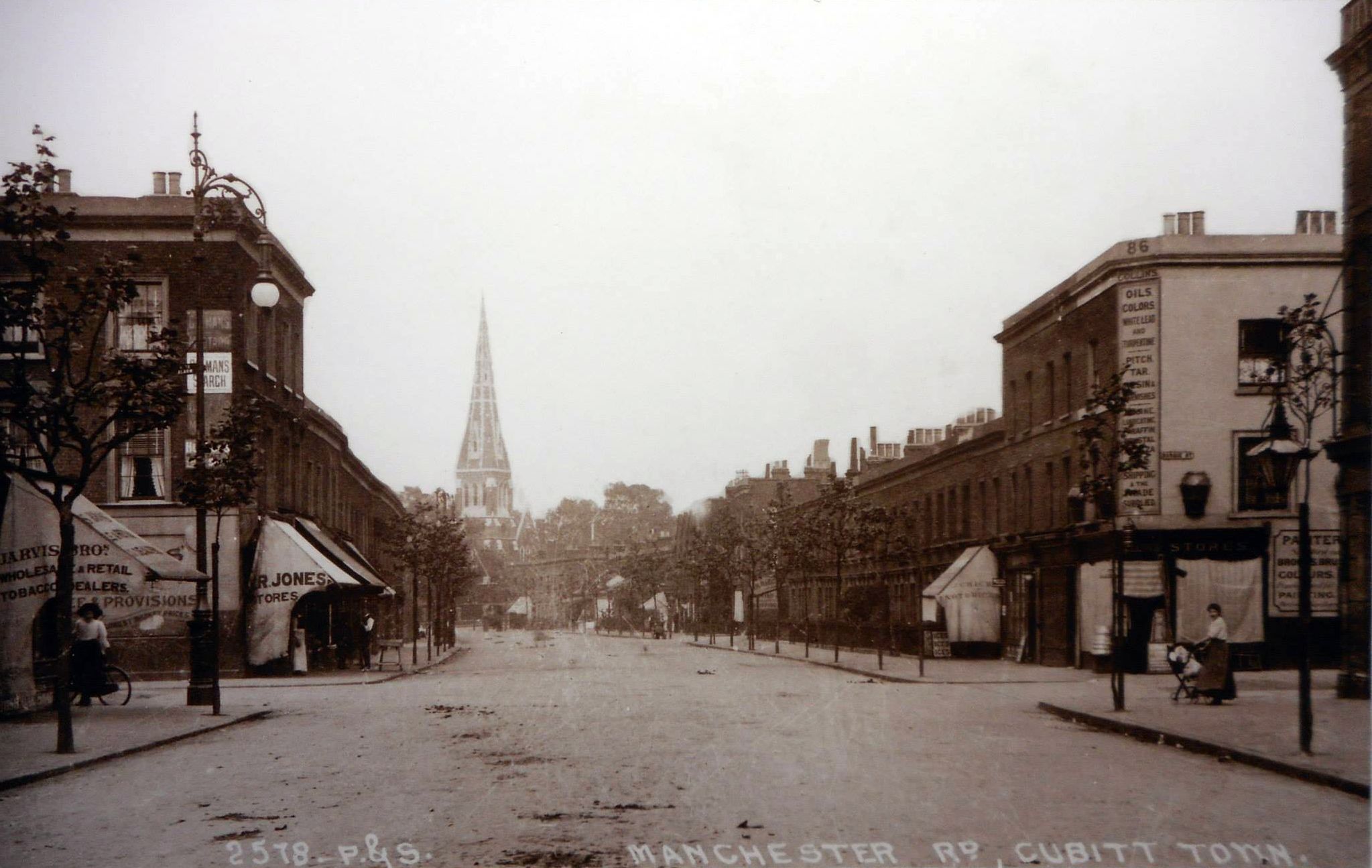
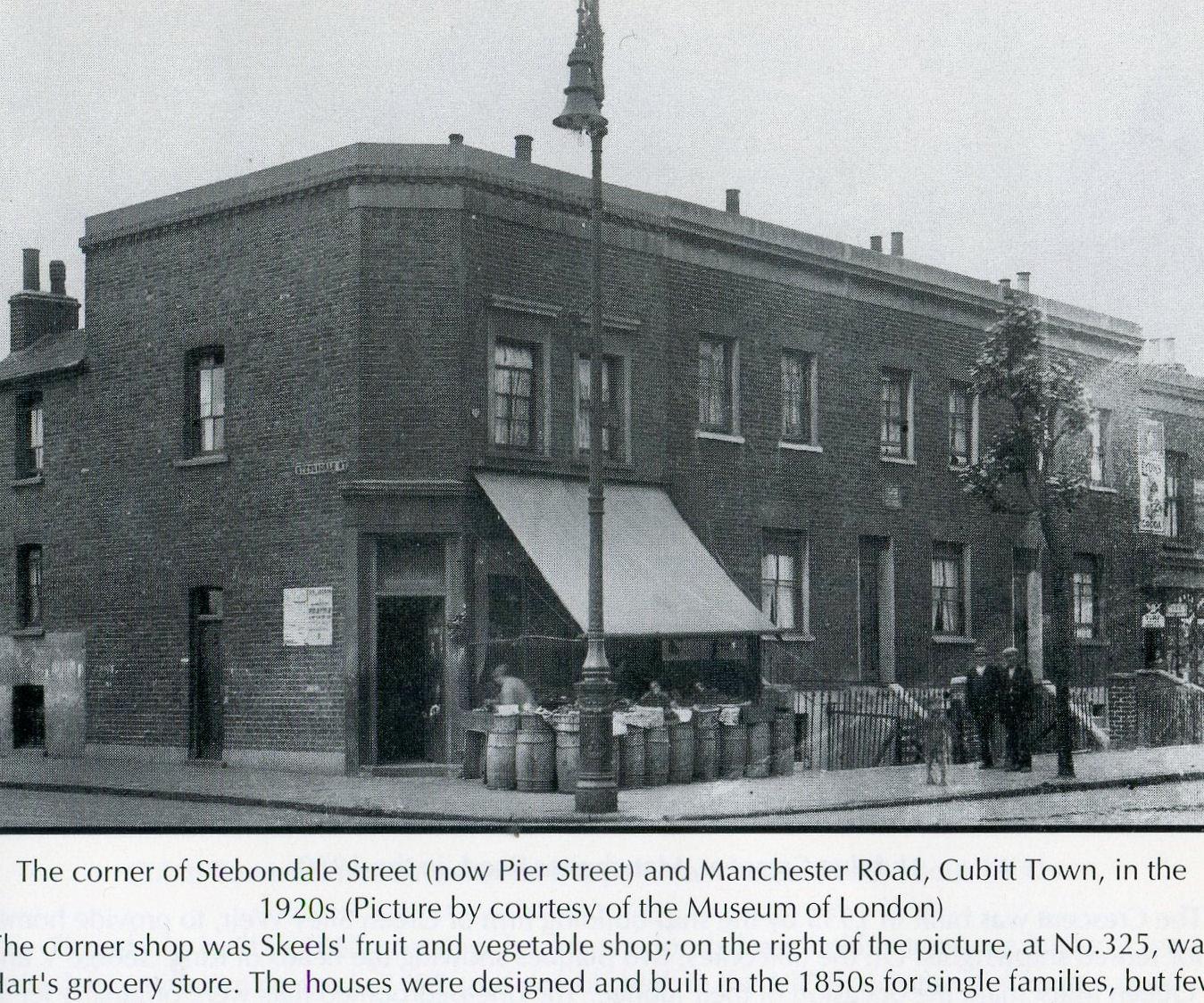
1888. Manchester Road, looking north just this side of Billson Street.
1888. Manchester Road, looking east (Stebondale Street on the left)
1845 Newcastle Draw Dock is built
1849 Land belonging to the Greenwich Hospital Estate – ‘Scrap Iron Park’, as it became known locally – is set aside as an open space. It would later be officially named Island Gardens.
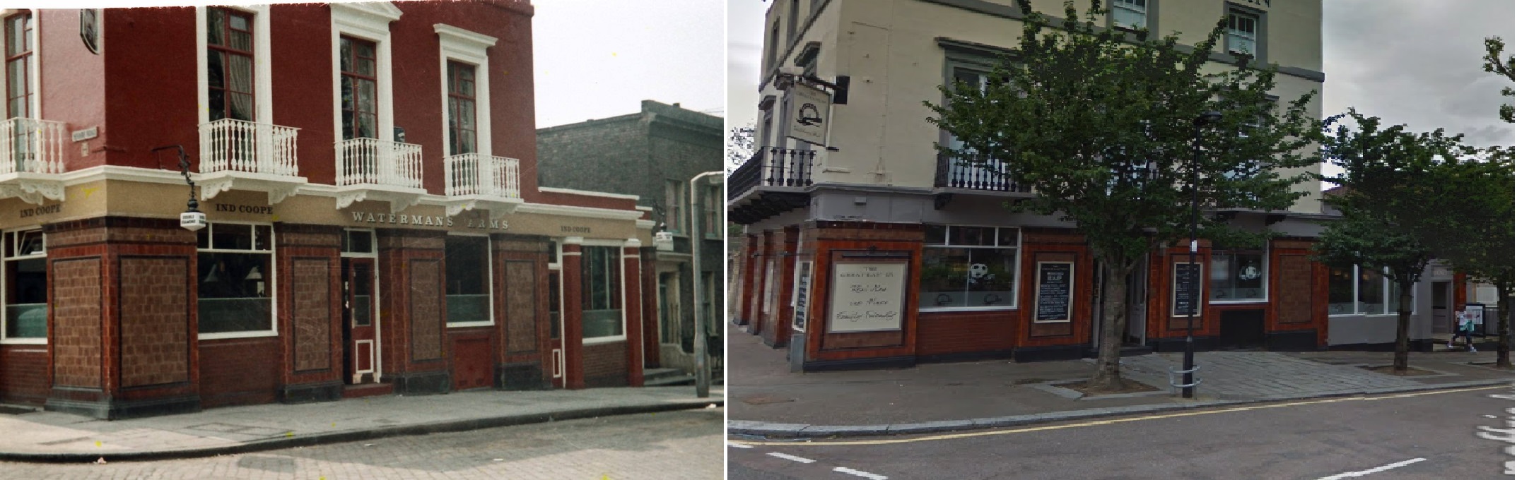
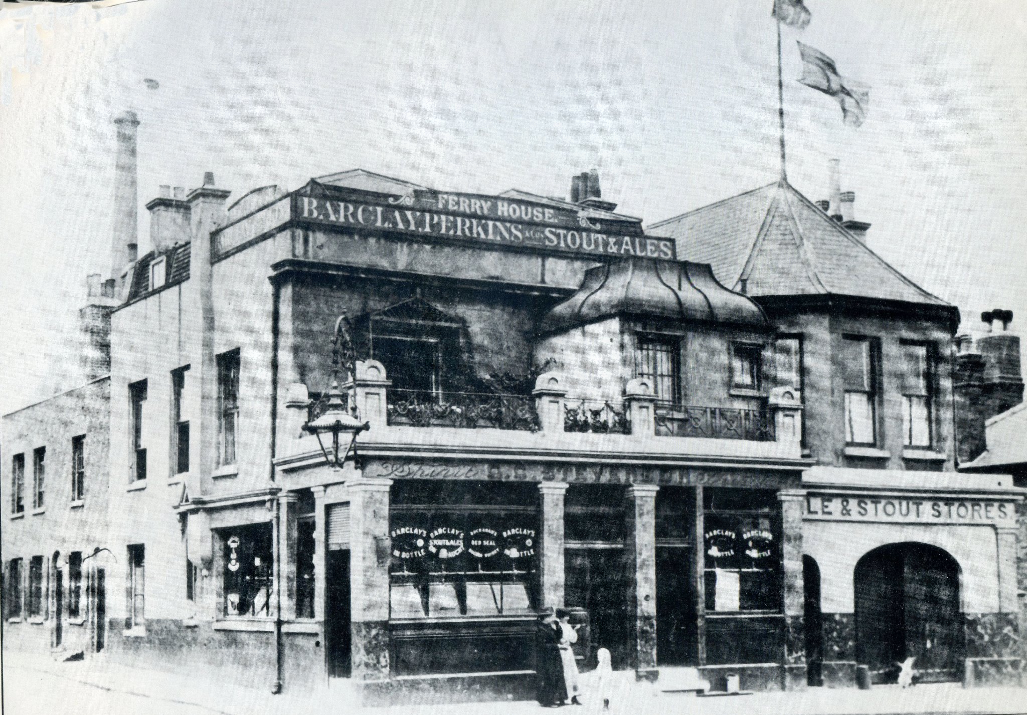
1853 Construction of The Newcastle Arms (later renamed the Waterman’s Arms).
1854 Opening of Christ Church
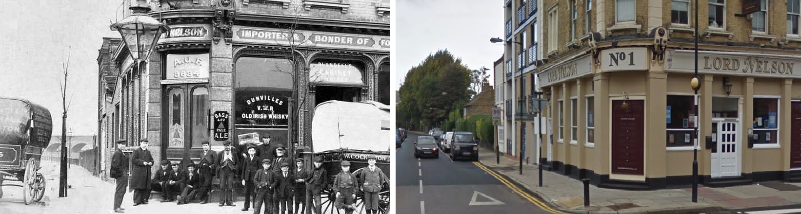
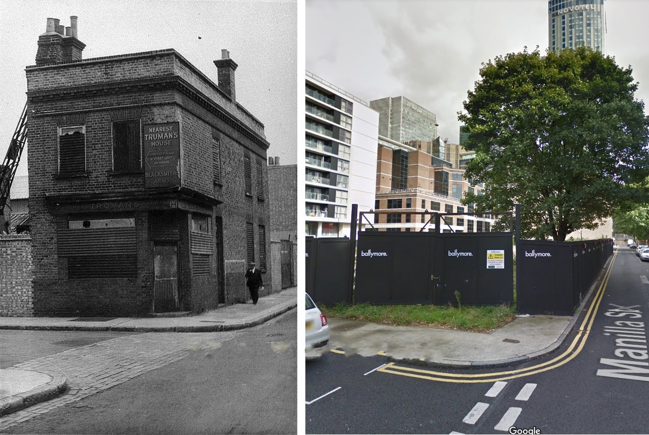
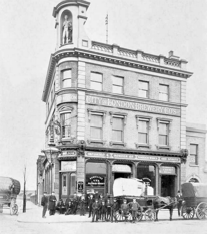
1855 The Lord Nelson public house is built by Henry Johnson.

c1899. The Lord Nelson. Photo: London Metropolitan Archives (City of London)
1857 Cumberland Oil Mills, adjoining the Greenwich Hospital Estate, is established for the production of linseed oil and oilcake.
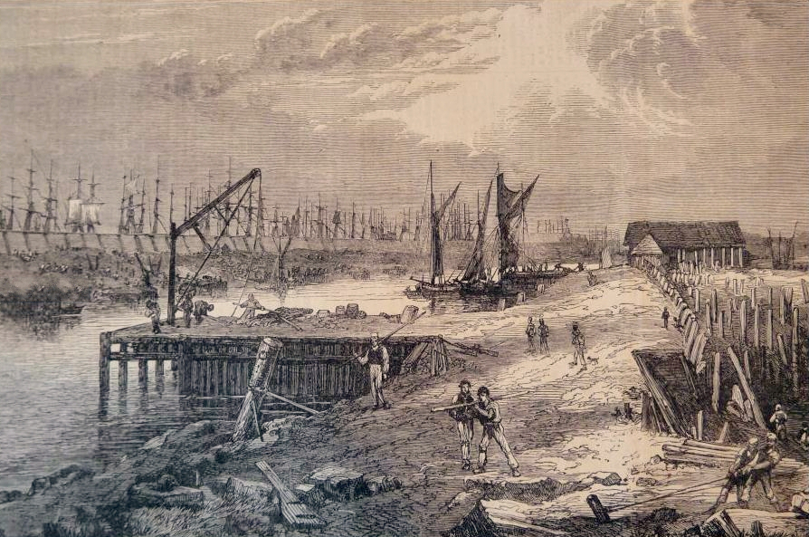
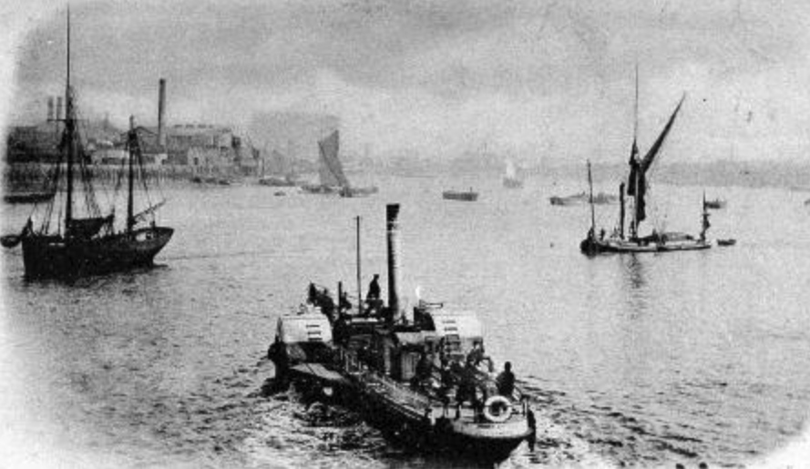
William Cubitt erects a timber pier roughly three-quarters of a mile along the shore from Potter’s Ferry (at the end of Pier St, which previously went as far as the river) and hires a steamboat to ferry passengers to Greenwich and other places on the opposite shore.
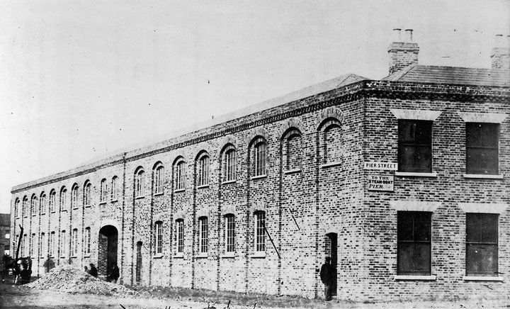
The premises of shipbuilder’s James Ash & Company. Pier St, then leading to the river, is on the right.
1859 Completion of the 200th house in Cubitt Town.
1861 The ‘Asphalte de Seyssel Company of Thames Embankment’ develops Pyrimont Wharf on Wharf Rd (later Saunders Ness Rd).
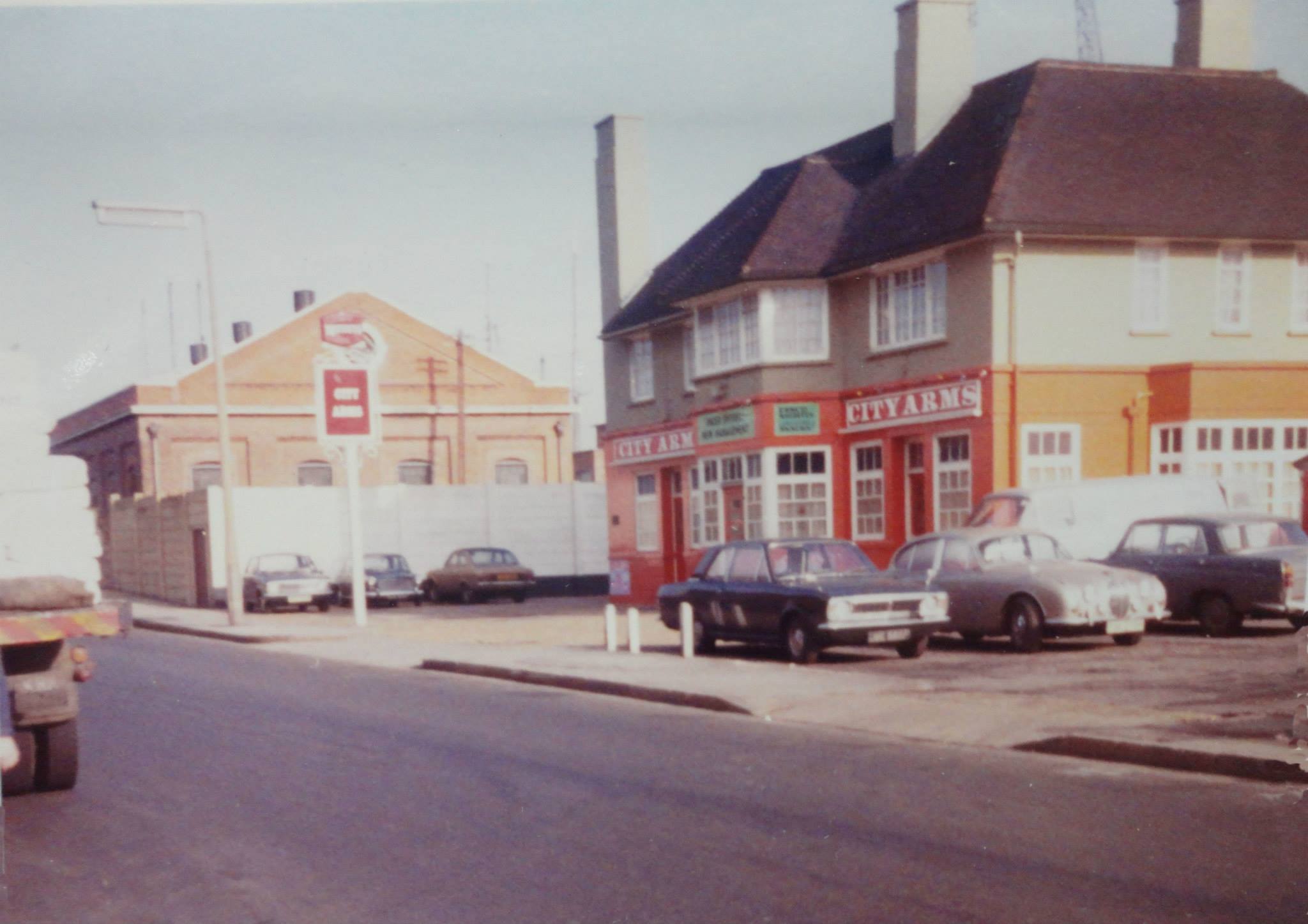
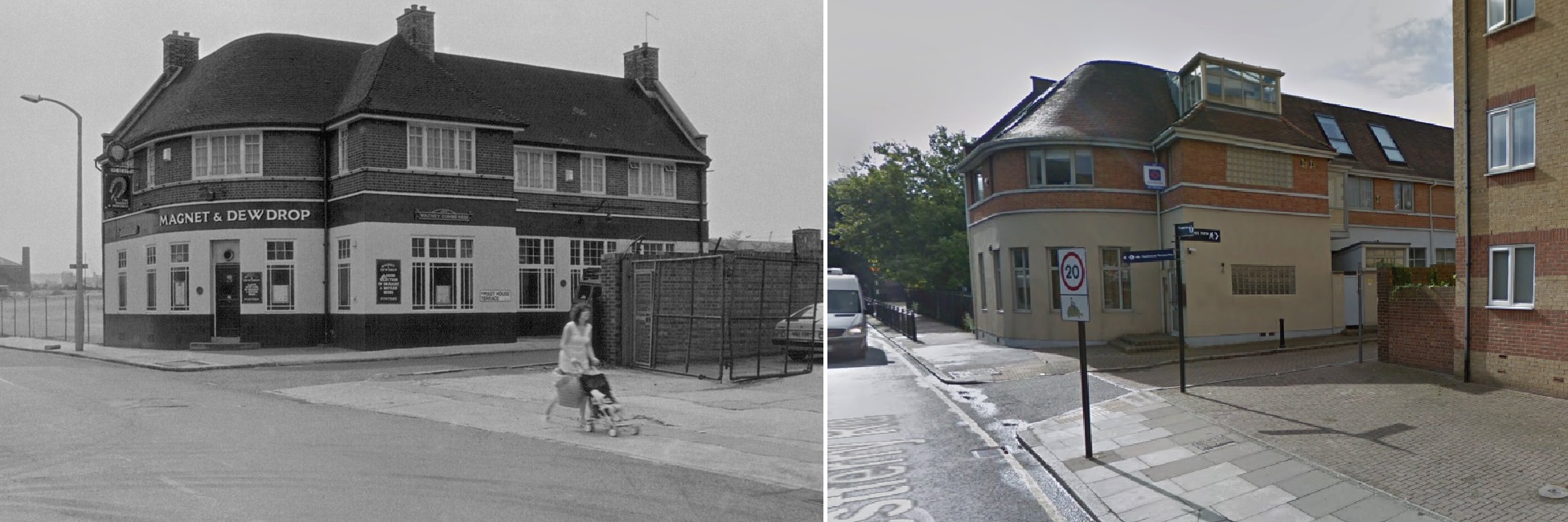
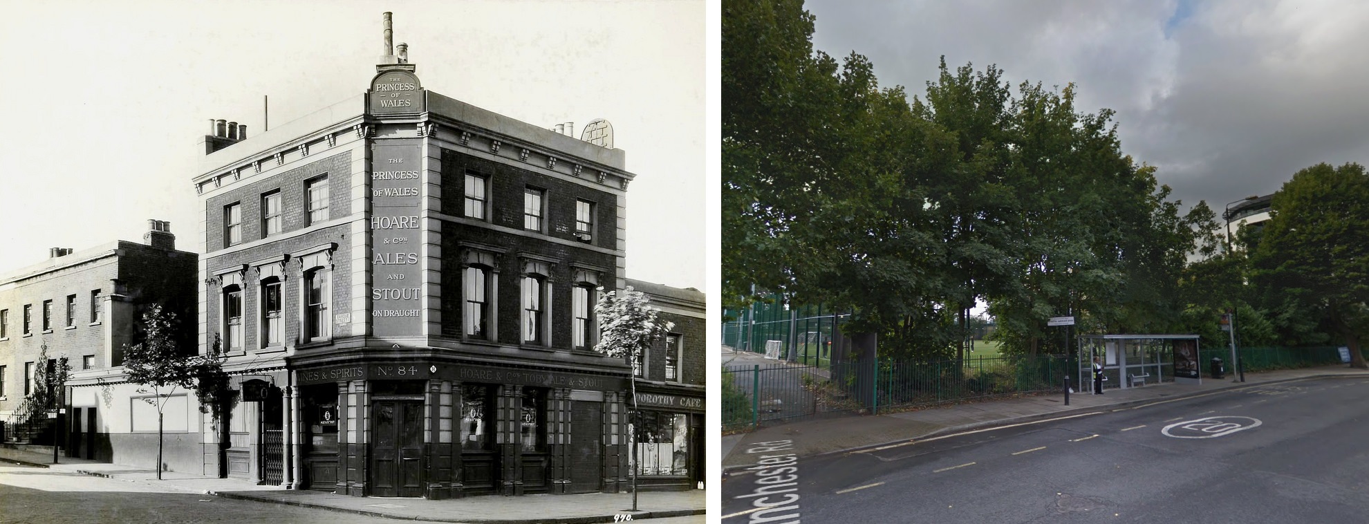
1862 Opening of the Princess of Wales (aka Macs) public house at 84 Manchester Rd.
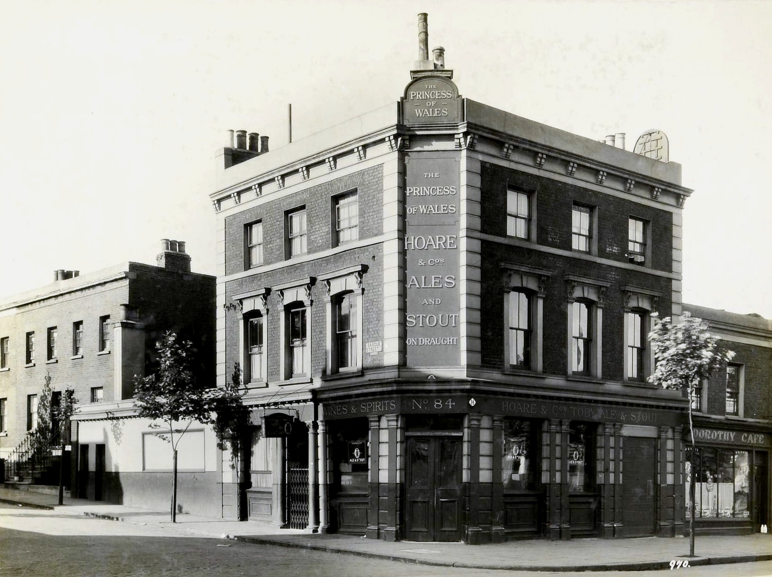
Princess of Wales
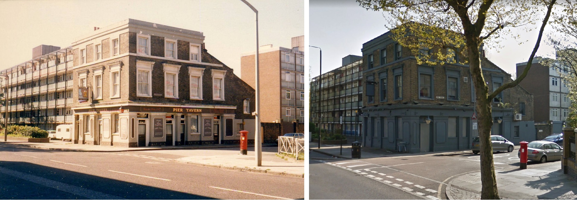
1863 Charles Davis builds the Pier Tavern at 283 Manchester Road.
John and William Dudgeon, engineers and boiler makers, take a lease of the riverside site immediately south of Cubitt Town Pier. The firm lasts a little over a decade, but leaves the name Dudgeon’s Wharf as a legacy.
1864 A good year for pubs….
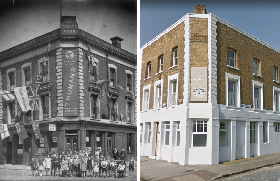
Henry Smallman builds the Cubitt Arms at 262 Manchester Road.
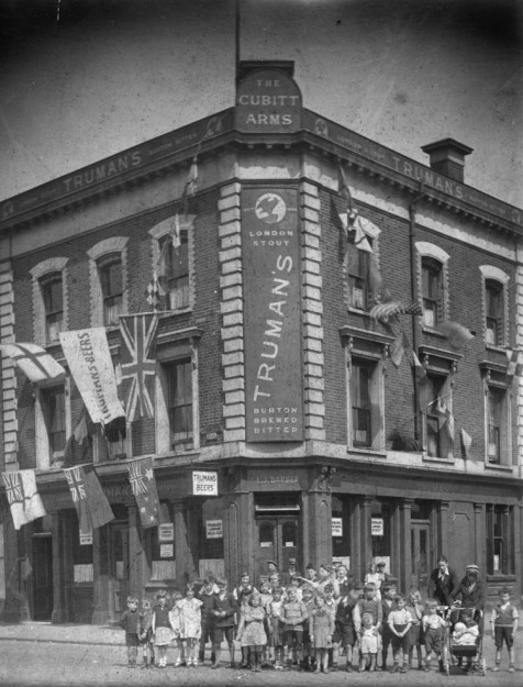
Cubitt Arms
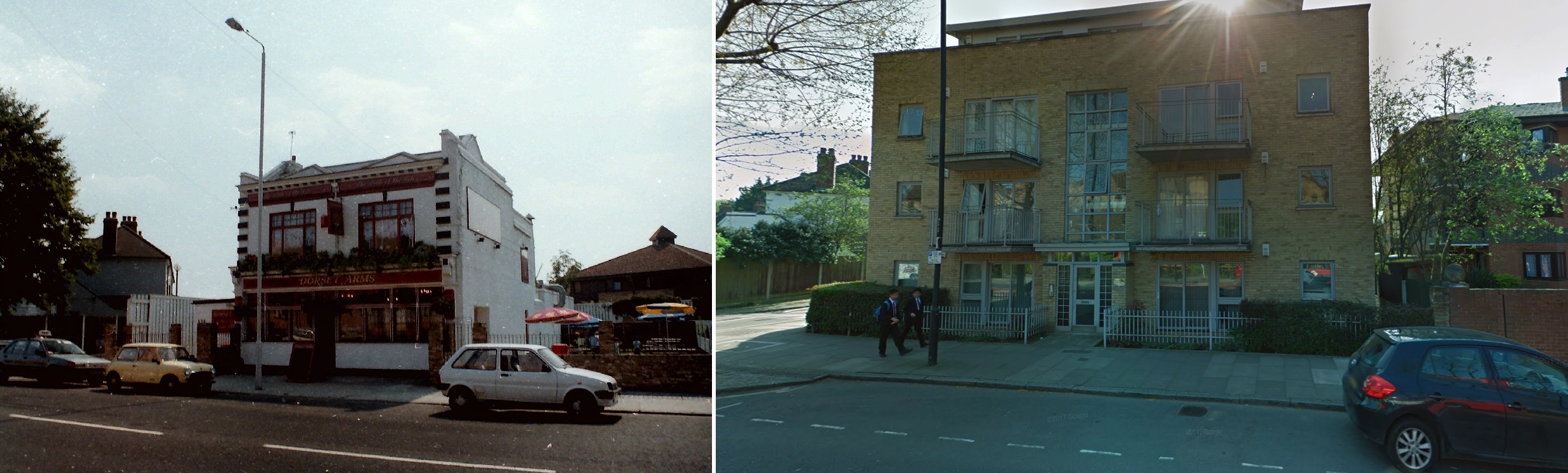
The Dorset Arms is opened in Manchester Road, occupying one of the four houses in Dorset Terrace. It was later extended into the neighbouring house.
Dorset Arms
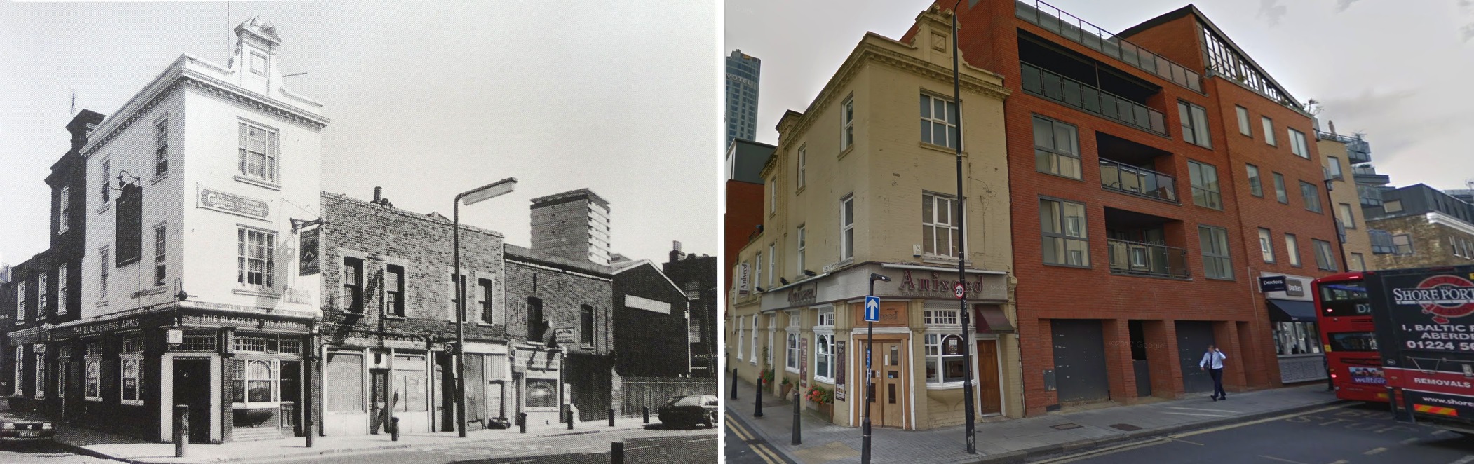
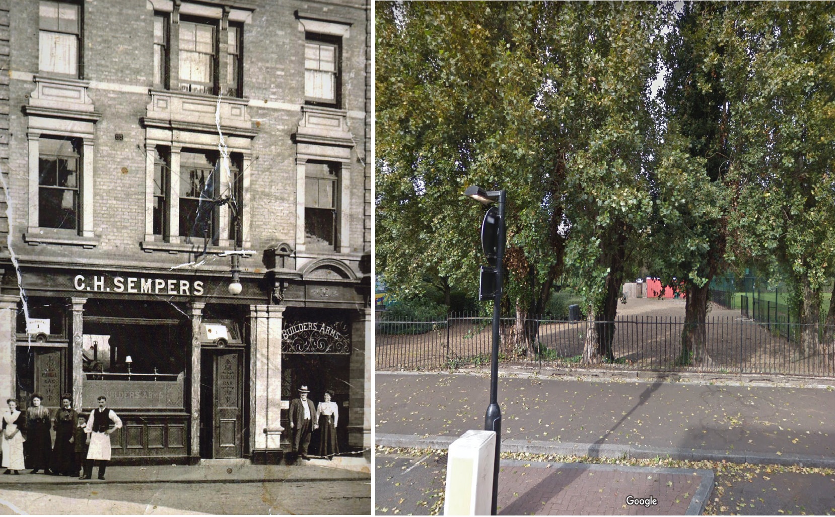
The Builder’s Arms, 99 Stebondale Street, is built at the junction with an intended extension of Billson Street.
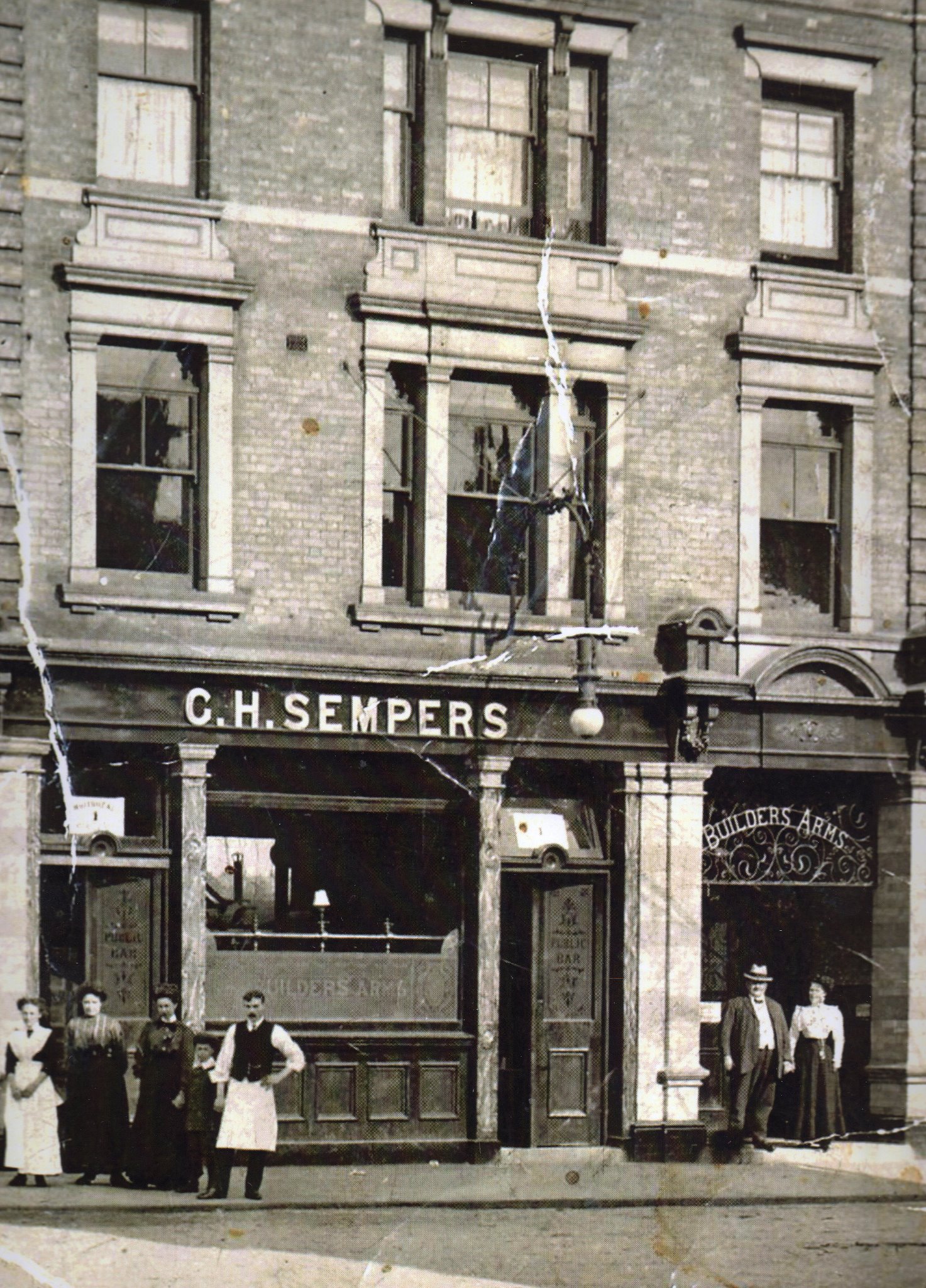
Builder’s Arms
1865 The London, Blackwall and Millwall Extension Railway Bill is passed on 19 June. The bill authorizes the creation and maintenance of an extension to ‘…the quay or wharf or river wall on the northern shore of the River Thames at or near a point about 22 yards to the eastward of the draw dock or landing place at the southern end of Johnson-street’. It further authorizes compulsory purchase of land and ‘the construction of stations, sidings, junctions, roads, approaches, bridges, cuts, drains, tramways and other works and conveniences’.
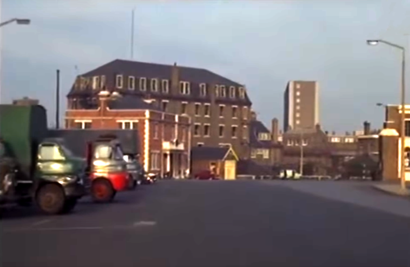
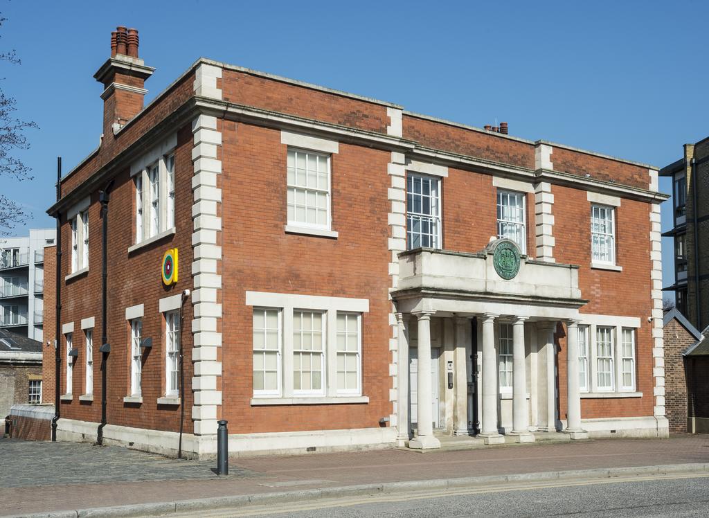
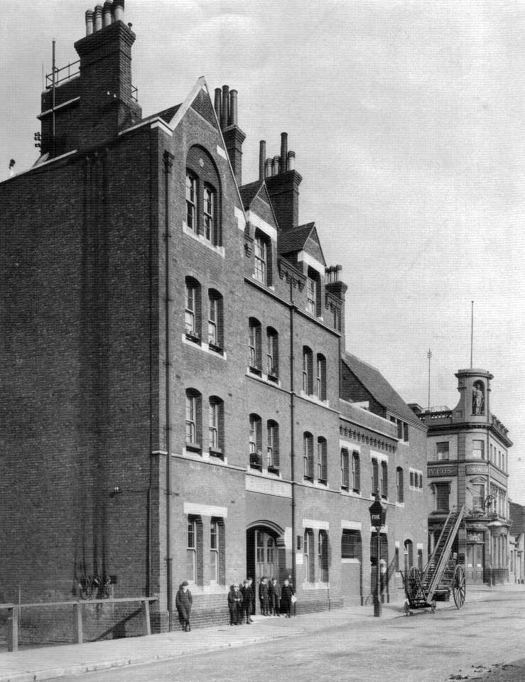
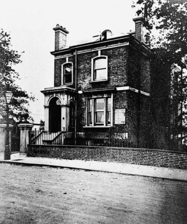
Isle of Dogs Police Station is built at 126 Manchester Road. The station provides accommodation for a married sergeant (or inspector) and married constable, their families and six single constables, with up to three prisoners.
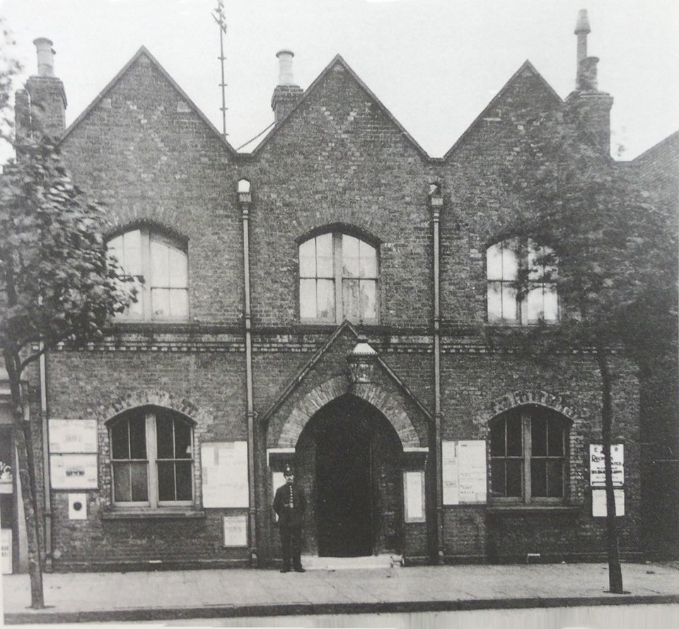
Police Station, c1910
1866 The Christ Church National Schools are erected at the northern end of the church lands (south side of Billson St). They serve as a Sunday School and as parish rooms for games, society meetings and concerts.
1871 Opening of the Millwall Extension Railway, extending the railway south from Millwall Junction to the Millwall Docks Station, and to the terminus at North Greenwich the following year.
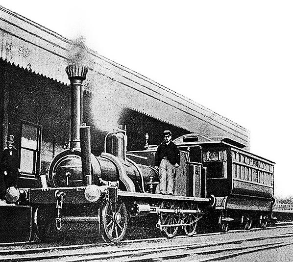
1878. North Greenwich Railway Station (the rowing club is now on the site)
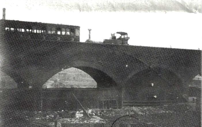
1890s (estimate), a steam train travels over the arches.
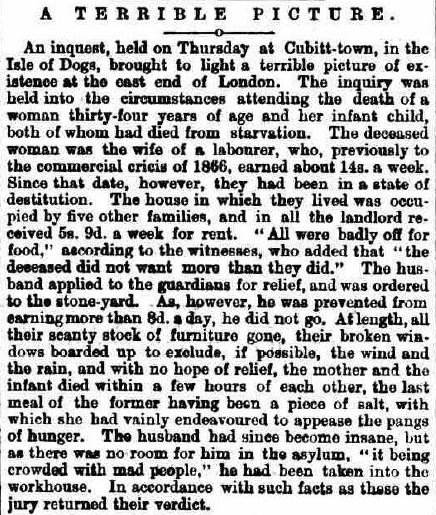
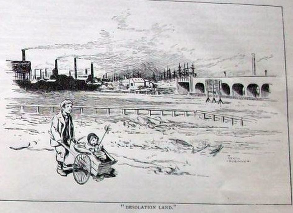
The economic crisis caused much suffering on the Island – so much so that there were campaigns in the national press to collect money for those impacted by ‘The Distress‘.
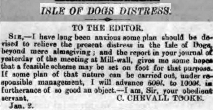
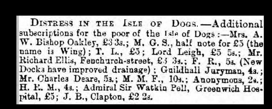
The individual stories were heart breaking……
It was several years before investment in manufacturing in the area revived, but shipbuilding never really recovered. It found its home in cheaper and more practical locations.
The failure to complete Cubitt Town as envisaged by William Cubitt meant that the Island never had anything like a middle class. Houses designed for better-off families could not be sold, and were occupied by multiple working families (frequently one family per room). They were poorly maintained, prone to flooding, and were slums in no time. According to British History Online:
The crash of 1866 brought house-building to a sudden halt. Moreover, emigration from the area resulted in large numbers of empty houses, particularly on the Isle of Dogs, where there were almost 800 empty dwellings in 1868, approaching a half of the total. Although an economic revival followed the slump of the late 1860s, the Island was not well placed to benefit from it and there were still 262 vacant houses in 1871. In such circumstances, building took some time to resume and the developments which were proposed either failed to attract investment or took a long time to get under way. Land prices fell considerably in the aftermath of the crash and some sites did not attract purchasers.
Manchester Rd, north of Millwall Wharf (Cubitt Arms on the left)
Manchester Rd, c1910, Stebondale St on the left (Island History Trust).
One of the problems of the housing in Cubitt Town was that many basements were liable to flooding during periods of heavy rainfall, when the sewers were unable to carry the sudden increase in volume. The difficulty was reported in 1866 and, although the completion of the outfall sewer alleviated it for a time, became increasingly frequent during the 1880s, with particularly severe flooding after storms in June 1880 and June and July 1888. The completion of the pumping station at Stewart Street in 1889 did reduce the incidence of flooding, but did not remove the problem. The area was affected during the disastrous flooding on 7 January 1928, when the river overflowed at Johnson’s draw dock.
The Medical Officer of Health found it ‘scarcely credible that . . . it is possible to build houses with sunken basements, without the intervention of concrete or other impervious layers on low-lying, damp soil difficult to drain and sewer and liable to floods and overflow of sewage’. Nevertheless, a report of 1890 showed that there were 711 houses in Cubitt Town with basements. Many were found to be in a ‘deplorable unsanitary condition’ with foul and moist basements, and rising damp, which was partly attributable to the use of poor materials. There were occasional outbreaks of scarlet fever. The houses were, in general, poorly built and badly maintained; by the 1910s many were in bad repair and the streets appeared ‘dreary, slummy’ presenting ‘ugly vistas’.
Social researcher and reformist, Charles Booth (1840-1916), published his Life and Labour of the People in 1889. It, and later revisions – along with the work of Benjamin Seebohm Rowntree – influenced government intervention against poverty in the early 20th century and led to the founding of – among other things – old age pensions, and free school meals for the poorest children. Distinctive among the book’s contents are the so-called Maps Descriptive of London Poverty. These maps were colour-coded to indicate the income and social status of inhabitants, detailed to street level. They presented the south end of Cubitt Town as follows (see “The General Tone of the Isle of Dogs is Purple” for more information):
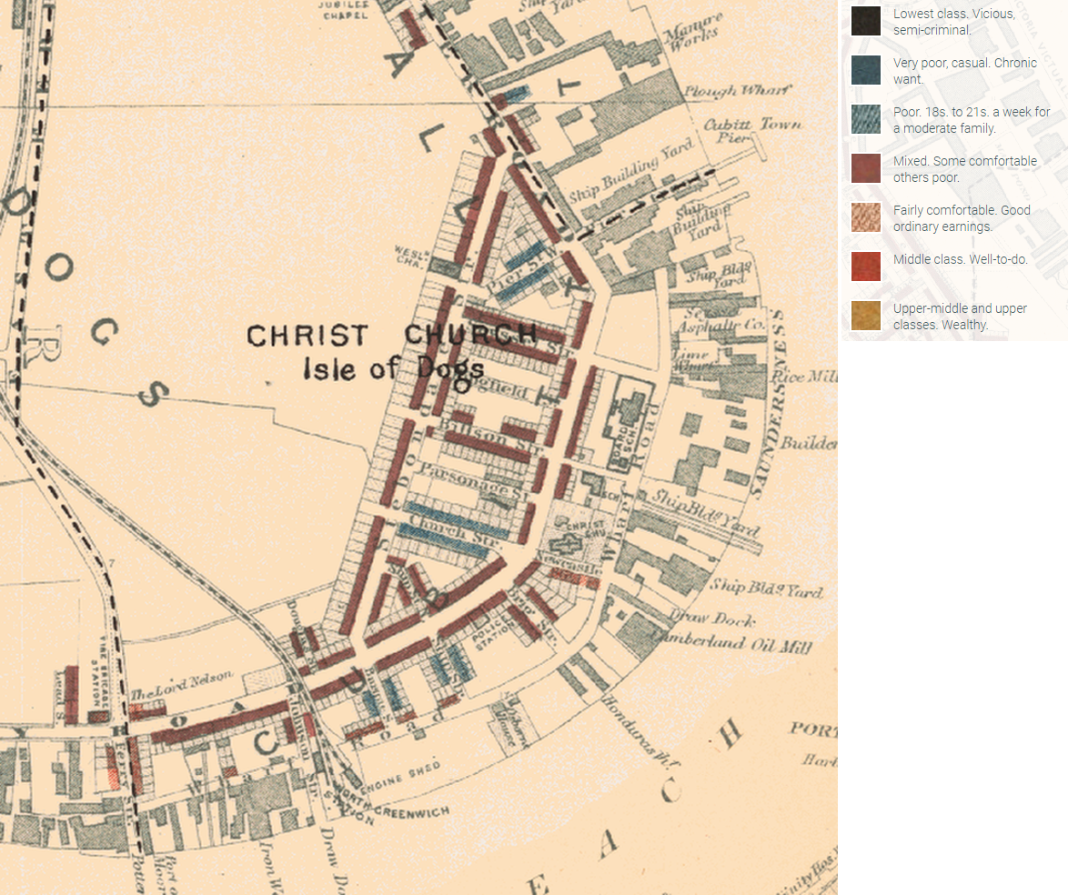
Booth Poverty Map of Cubitt Town (South), 1889
Booth’s publication described Stebondale Street and the area around it, in 1897, thus:
Has the character of being the worst street in the Island. Houses with basement floors, 9 feet below high tide, drains run backwards. Some looked very poor, but by no means all – had the air of a street that is improving – all the homes looked better than those in Gaverick, Crewe and Claude Streets mentioned above.
Church St Now named Newcastle St, of poorer aspect than Stebondale St – rents 8 /- a week from a notice board at one end “All homes in good repair”. Newcastle St looked the poorest in this block.
Parsonage St, Billson St, Kingfield St, Seyssel St – all of a better class than Newcastle St.
Pier St – though marked blue, was not given a different character to the foregoing.
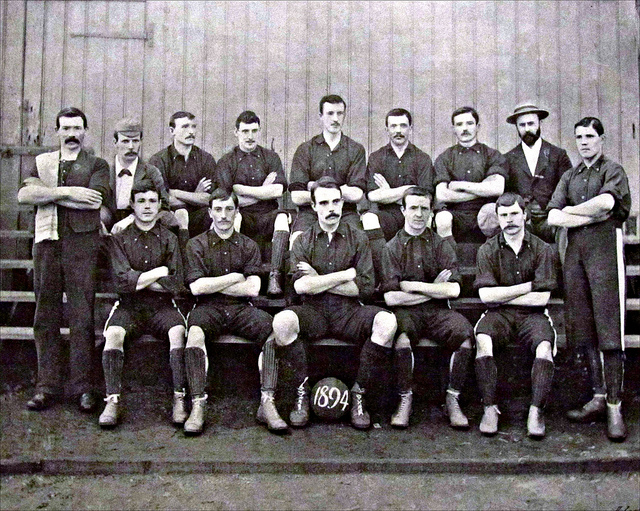
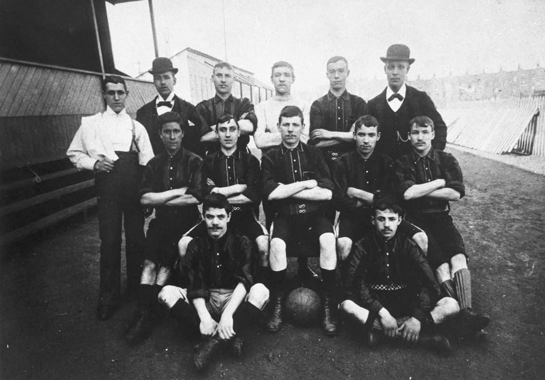
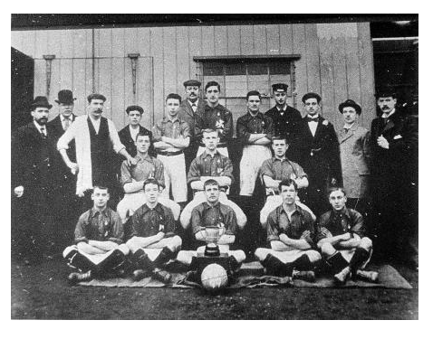
Of amusements in the Island there are practically none. The Millwall Athletic ground football matches attract great crowds and have given the men some interest. Public houses get up sing songs of an evening, but there are no music halls.
Booth’s publication mentions Millwall Athletic, whose ground from 1890 was on the site of the present-day ASDA supermarket. From 1886 to 1890, the club, then named Millwall Rovers, played on a pitch behind the Lord Nelson, on land now occupied by the Manchester Grove estate.
The Nelson – like other pubs of the period – actively sought the patronage of sports clubs, not just because of the steady and reliable fees and custom from club members, but also because of the large crowds on home match days. The landlord of the Nelson managed to poach Millwall Rovers from their former home base in Millwall (see Millwall FC – The Millwall Year(s) for more information).
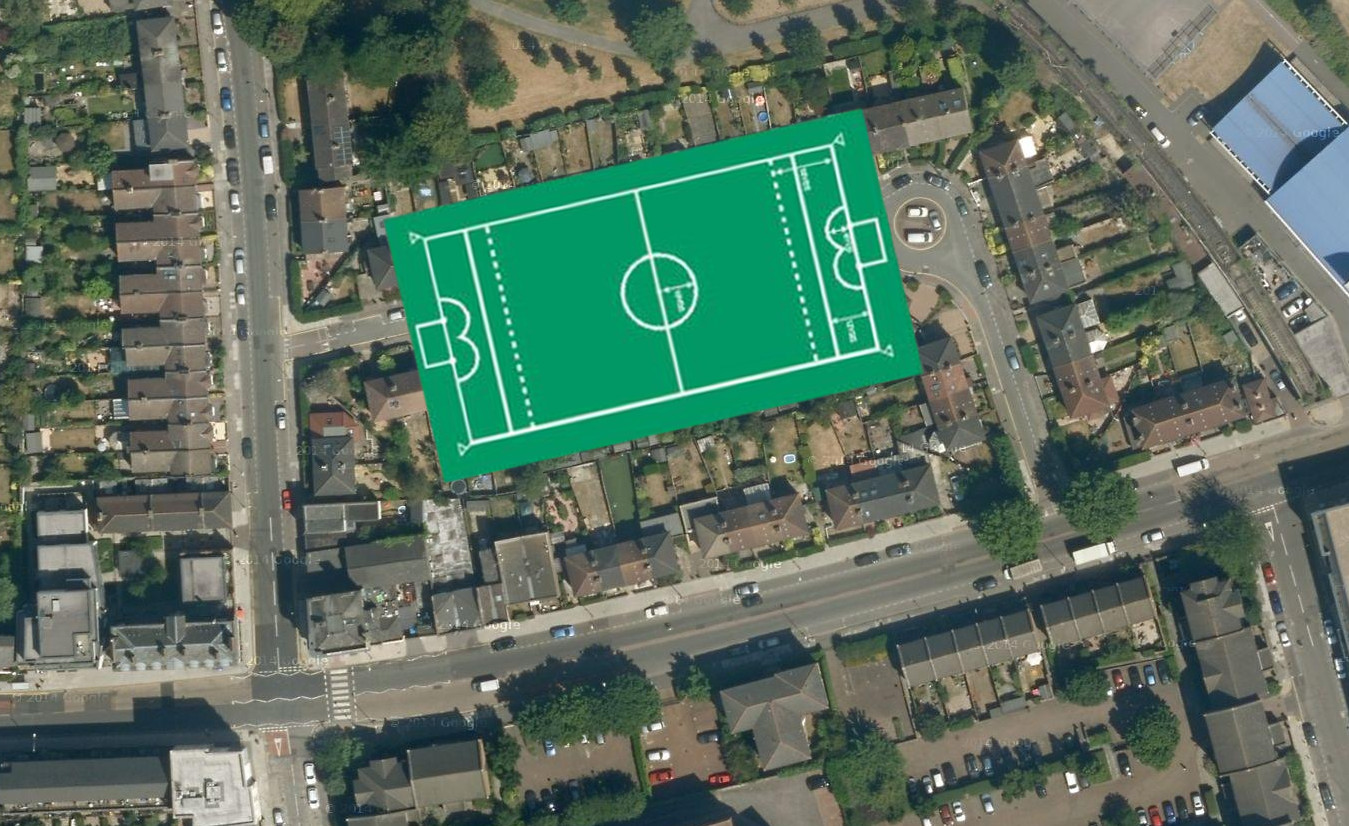
Satellite photo superimposed with football pitch with 1890s markings.
This 1895 map shows that the football team had already moved to its ground close to the George.
1895 (click for full sized version)
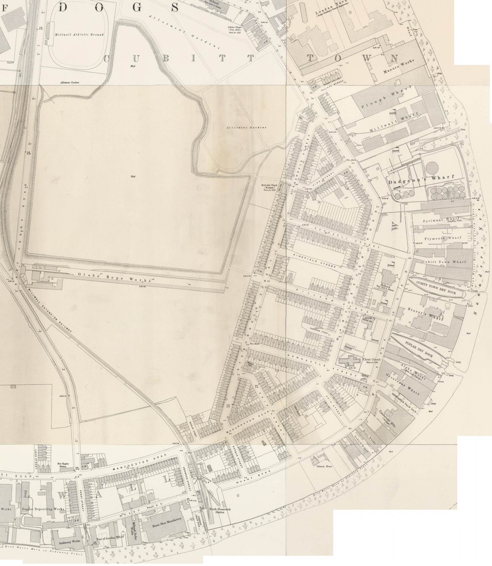
The map also shows that not many more houses had been constructed since 1870 (see map above). A turn-of-century resident of Cubitt Town would easily have recognized it at the start of World War II; not much changed in the fabric of the area.
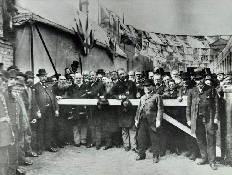
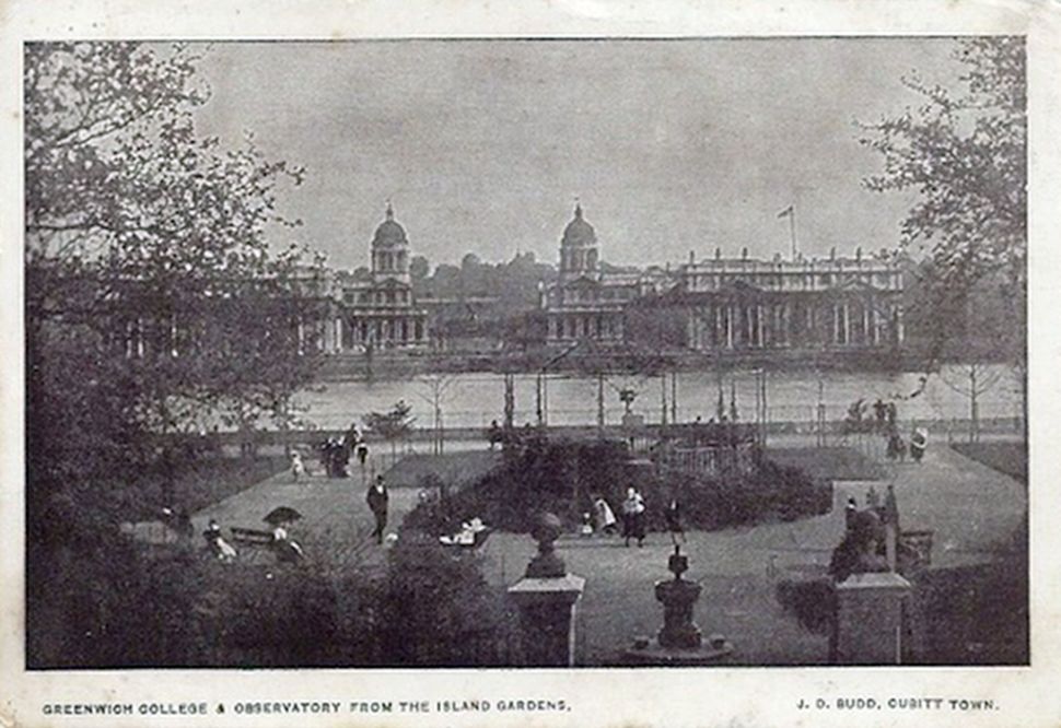
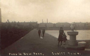
1895 Formal opening of Island Gardens
Previously, medical inspector to Greenwich Hospital, John Liddell, had complained that respiratory complaints among patients were rife due to the smoke from local factories. He wrote:
No casual visitor can fail to be struck with the dull & stupified air of a Greenwich Pensioner, or with the monotony & melancholy that pervade the Hospital, where one dull routine of existence is unchequered by any occupation or incident to beguile its weariness.
Liddell desired to create a healthy and pleasing environment to match that enjoyed by Chelsea Pensioners further up river. Amongst his recommendations was a scheme to purchase part of the riverside opposite the hospital, on the Isle of Dogs, an area which was not yet fully developed, in order to:
…prevent the total closure of its vista, and to shut out the annoyances of gloomy unsightly and offensive buildings, that are sure to be erected.
In other words, to hide the Isle of Dogs from view.
The land opposite Greenwich was owned by Lady Glengall and leased from her by William Cubitt. In 1852 they signed a 99-year sub-lease agreement with Greenwich Hospital. Initially, Lady Glengall stipulated that there should be no building at all on the land, but eventually she agreed to Cubitt’s idea for the creation of a well-to-do neighbourhood. It was to have landscaped gardens (a “plantation”) with imported trees and shrubs, and five large villas were to be built a little back from the river so they could not be seen from the hospital.
But, there was no interest from buyers; the wealthy businessmen that the development was expected to attract did not want to live on the Isle of Dogs. Close to 50 years later, only one villa had been built. The land that had been set aside for gardens had become a public open space, but it was far from landscaped. Locally it was known as ‘scrap iron park’.
The end of the 19th century saw an energetic period of public park creation by the newly-formed LCC and other urban governments – understanding the importance of a healthy environment for city dwellers. In 1892, the LCC took over the land and the villa (named Osborne House). John James Selby described it in his 1905 book “The municipal parks, gardens, and open spaces of London; their history and associations”:
The ground when acquired for public purposes was in a very rough and neglected condition, and paths had to be formed, drained and fenced, which, together with other works, cost nearly £2,000. A residence had been built at one end of the ground, part of which is occupied by the foreman, whilst the remainder is used as a free library.
Osborne House
Near the centre of the gardens an inexpensive bandstand, surrounded with a rockery, has been erected, where performances are given during the season. In a corner of the ground is a gymnasium ; but the principal feature of the laying out has been the formation of a gravelled promenade along the river-front, which is nearly 700 feet in length. This is liberally provided with seats, and affords splendid views of the river and its surroundings.

1890s. Island Gardens
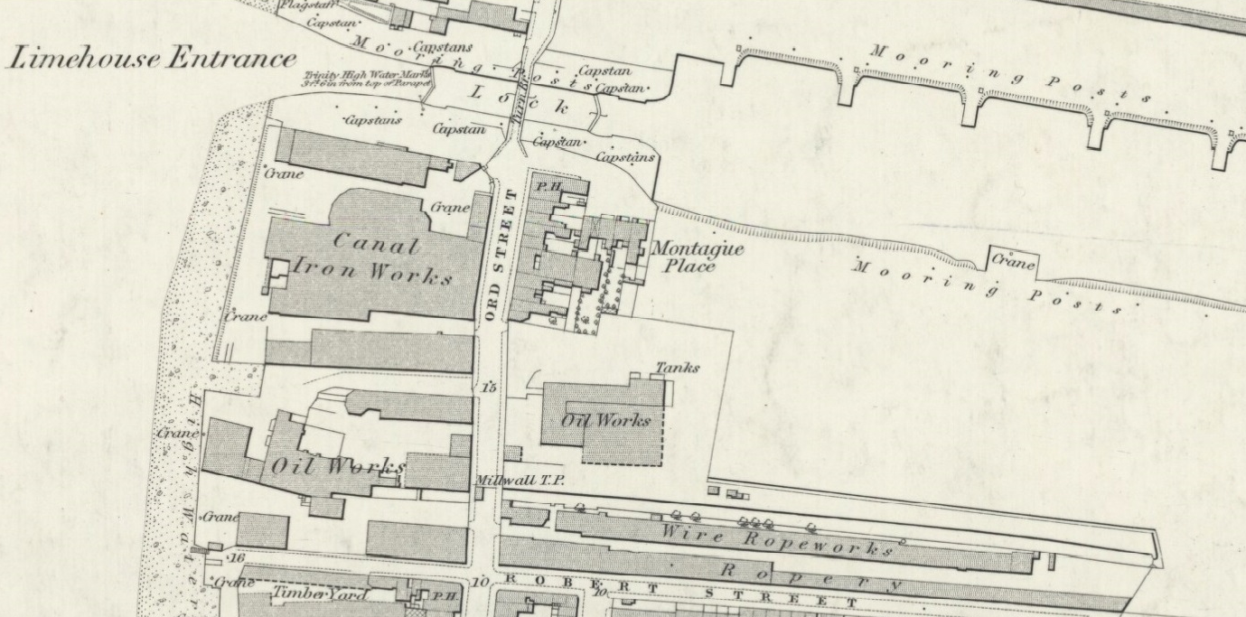
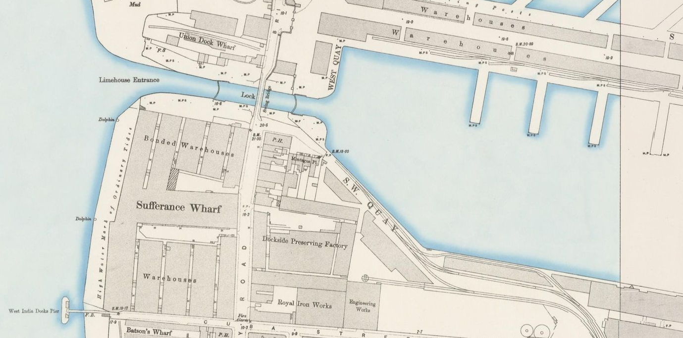
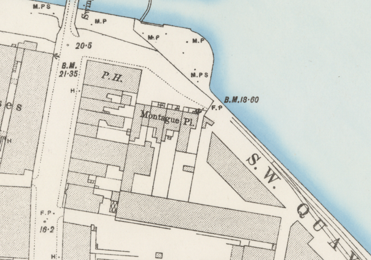
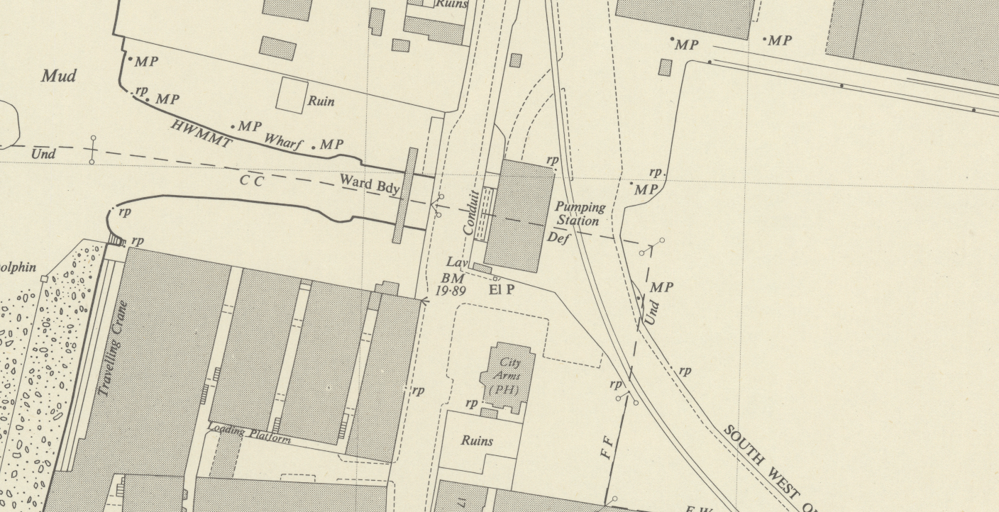
The following map shows the transformation from ‘scrap iron park’ to Island Gardens (inset).
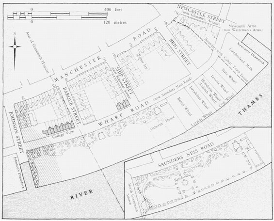
1870. Map source: British History Online.
In 1870, the park extended as far west as Johnson’s Draw Dock. A couple of years later the western section of the park (shaded in the map) was acquired by the London and Blackwall Railway for the construction of North Greenwich Railway Station (now the site of the rowing club and Calder’s Wharf).
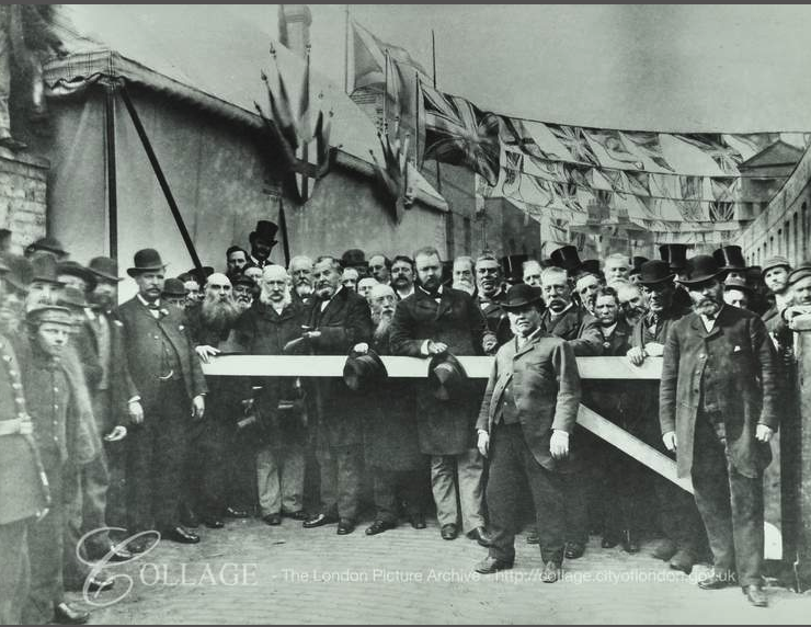
A couple of years later, the Island Gardens were officially opened by Councillor Will Crooks in 1895, more land was lost when an 1897 act of parliament gave the go-ahead for the construction of a foot tunnel from the Island to Greenwich.
1902 Opening of the Greenwich Foot Tunnel
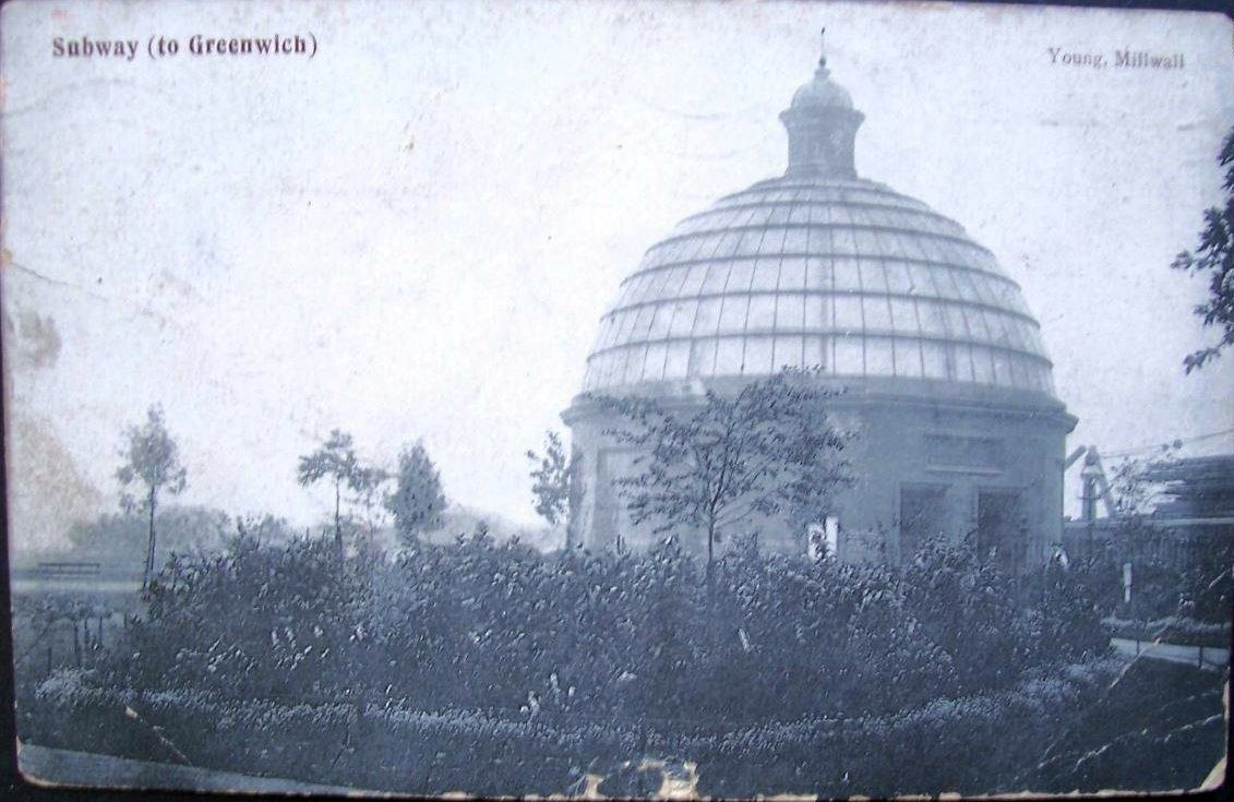
Greenwich Foot Tunnel
At the end of the 19th century, the London County Council first proposed to build a tunnel between the Island and Greenwich, as an alternative to the ferry.
A new free crossing would benefit working people on both sides of the river. Communications were so unreliable that some employers on the Island refused to allow their foremen and timekeepers to live on the southern bank because of delays at the ferry during foggy weather. The passenger steam-ferry from Greenwich Pier to North Greenwich Station was the only safe method of crossing the river at this point, but the penny toll amounted to an annual outlay of £2 12s – a considerable sum for the working men and women of the area. A new tunnel would also allow the inhabitants of the built-up industrial areas of Millwall and Cubitt Town to visit the more salubrious surroundings of Greenwich Park and Blackheath for recreation.
– Survey of London, Athlone Press
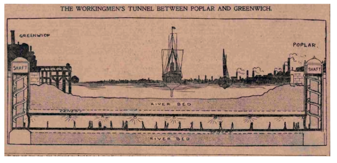
1901 newspaper tunnel impression
For an article about the history of foot tunnel, which opened in 1902, see Greenwich Foot Tunnel.
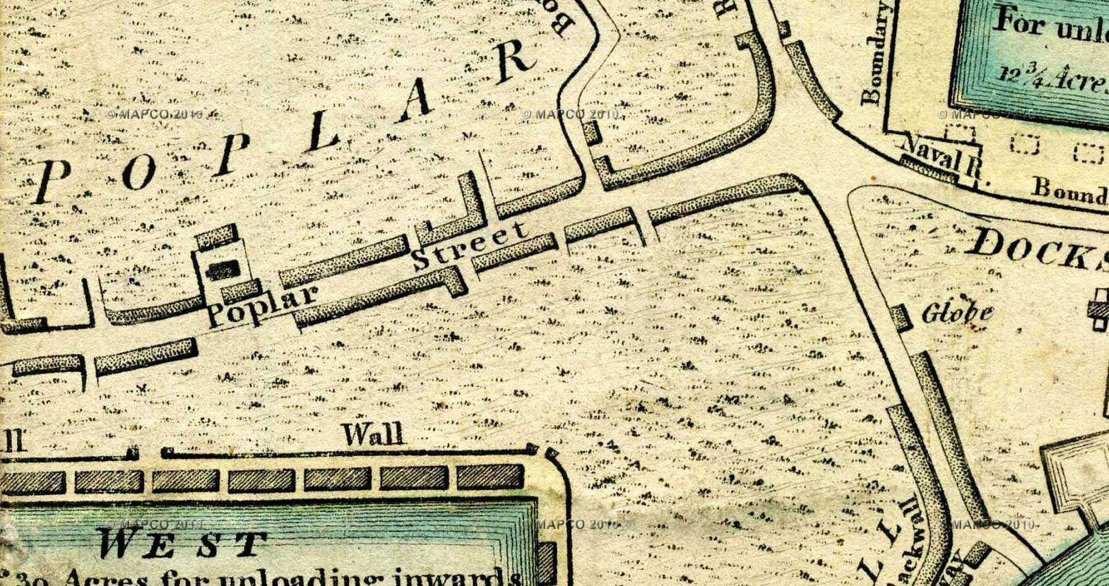
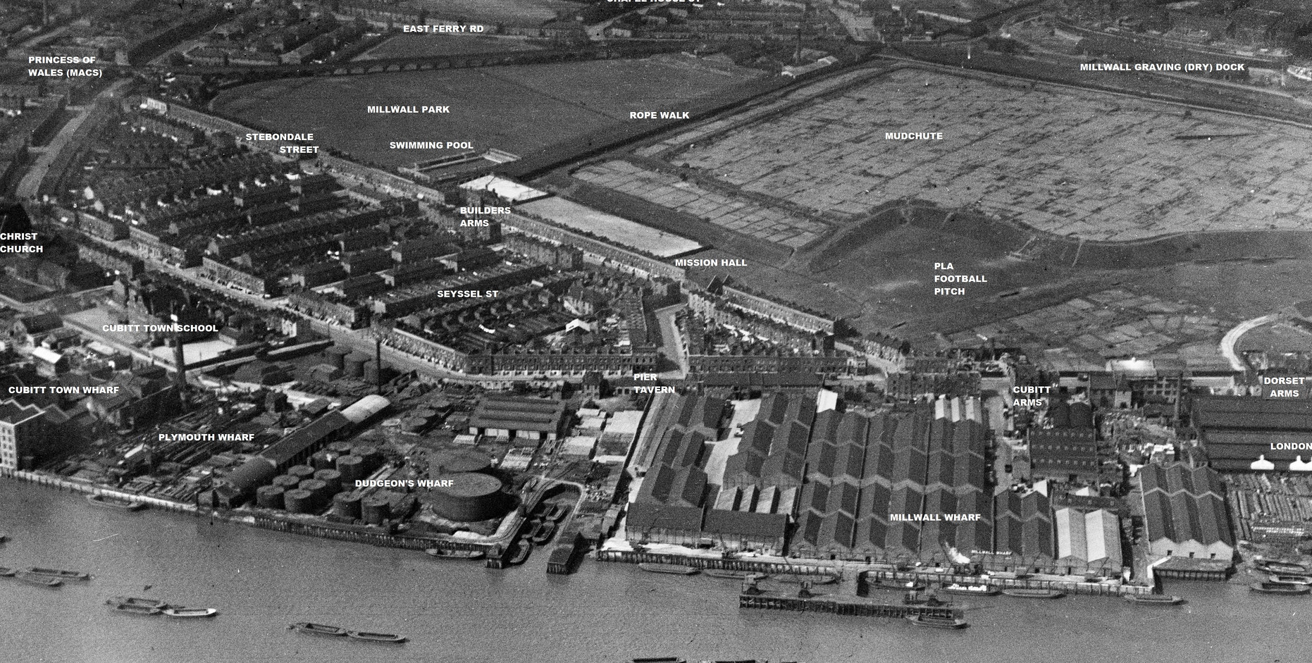
c1920 Opening of Millwall Park
The undeveloped, triangular piece of land between the railway, the rope walk and Stebondale Street was the property of the PLA. In 1905 it was sketched by Thomas Heath Robinson:
1905. Thomas Heath Robinson
In 1919, the London County Council bought the land and created a playground and public open space. They named it Millwall Recreation Ground, but many Islanders called it the new park (a name which stuck, and which is still used by some older Islanders).
This is probably the oldest photo of the park (although the year is unknown). It is looking past the paddling pool towards East Ferry Road.
An open air swimming pool was built in 1925, behind the Stebondale Street houses at the end of Parsonage Street.
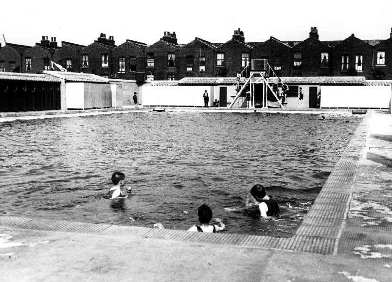
1925
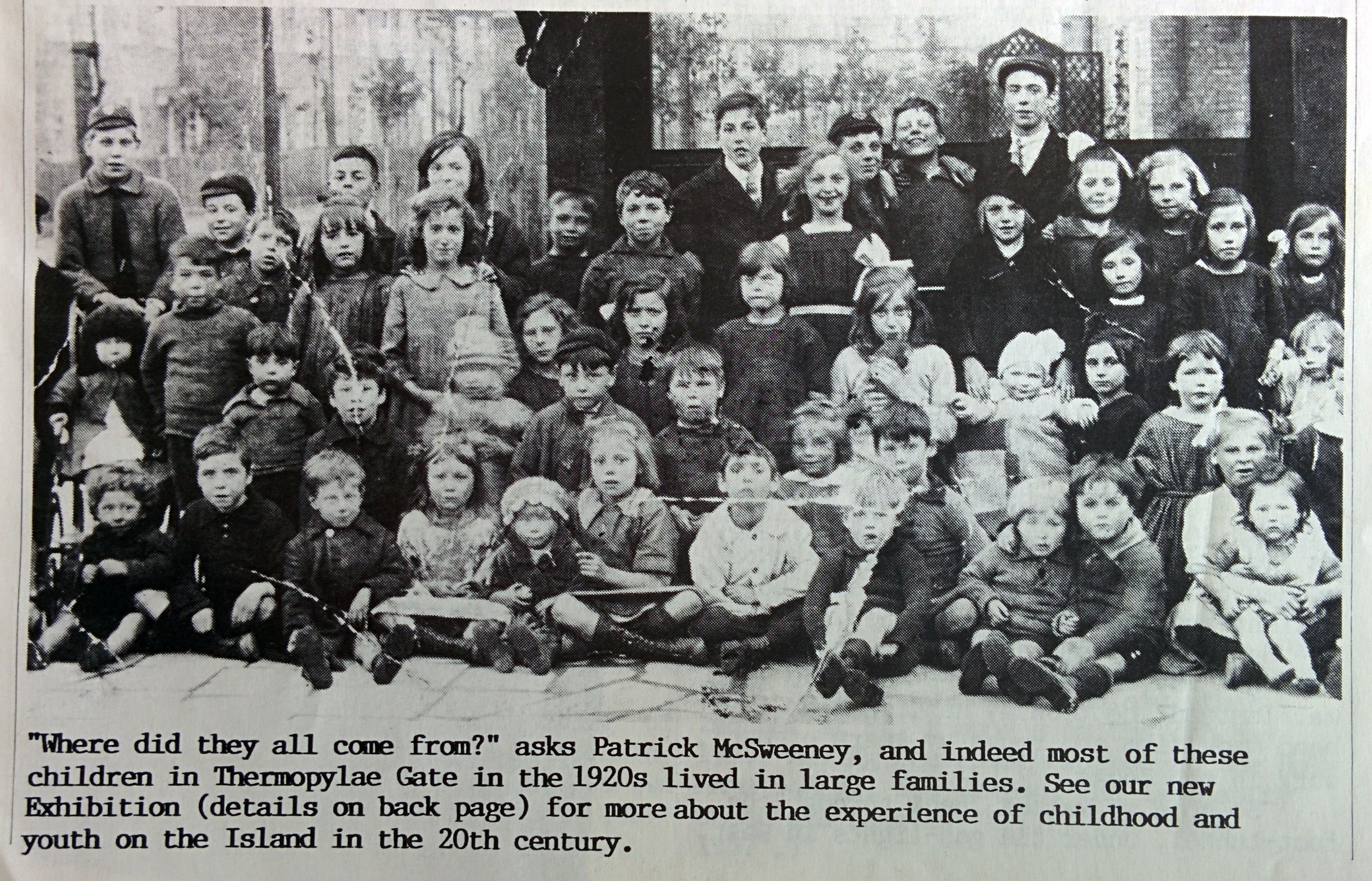
1920s
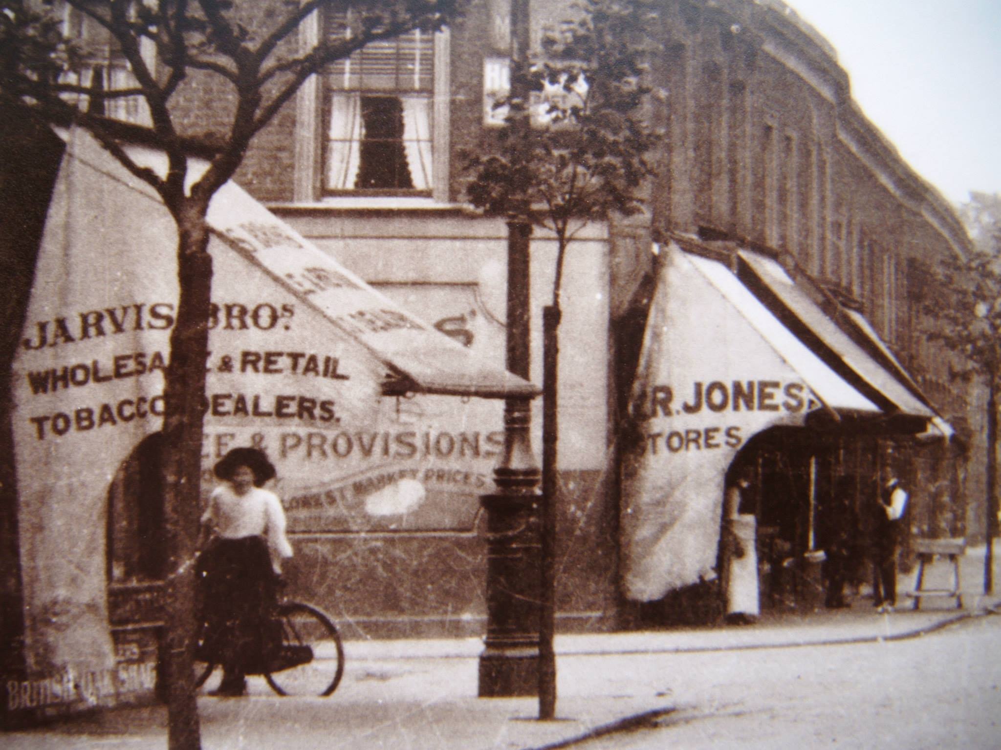
The view from the Princess of Wales pub, with a hint of Stebondale Street on the left. The 6th shop in the row is No. 103 (see following photo) (Island History Trust).
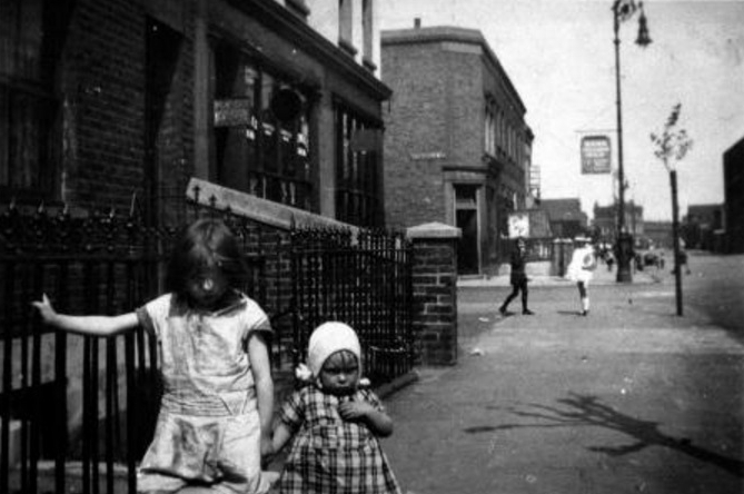
Island History Trust: “Near the junction with Stebondale Street (the section now named Pier Street), looking towards the Dorset, and the London (Tavern) pub in the distance. The older child is Mercy Linghorn, the little one is June Inns. Donated by Grace MacFarlane. “
Island History Newsletter
72 Stebondale Street (Jan Hill)
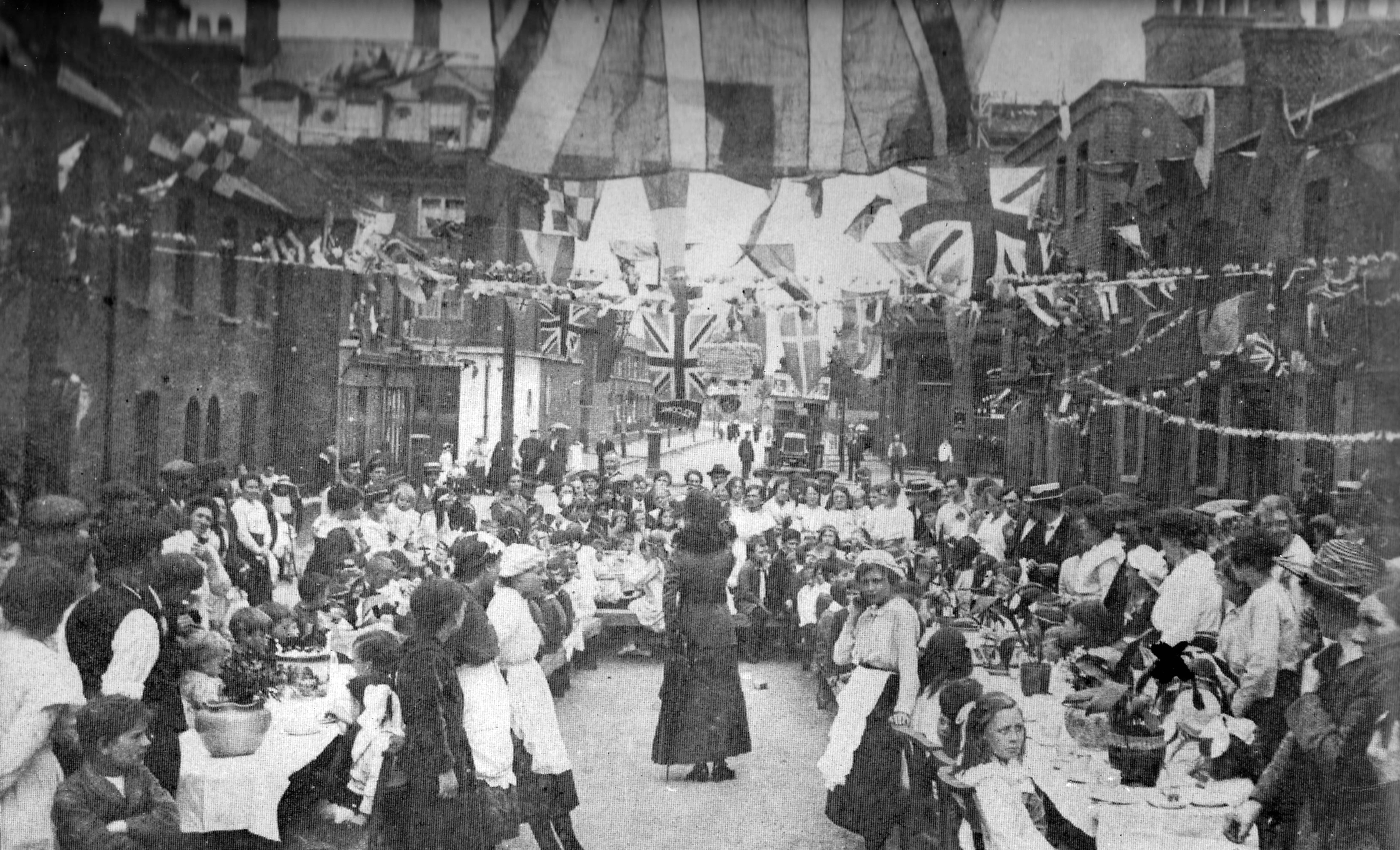
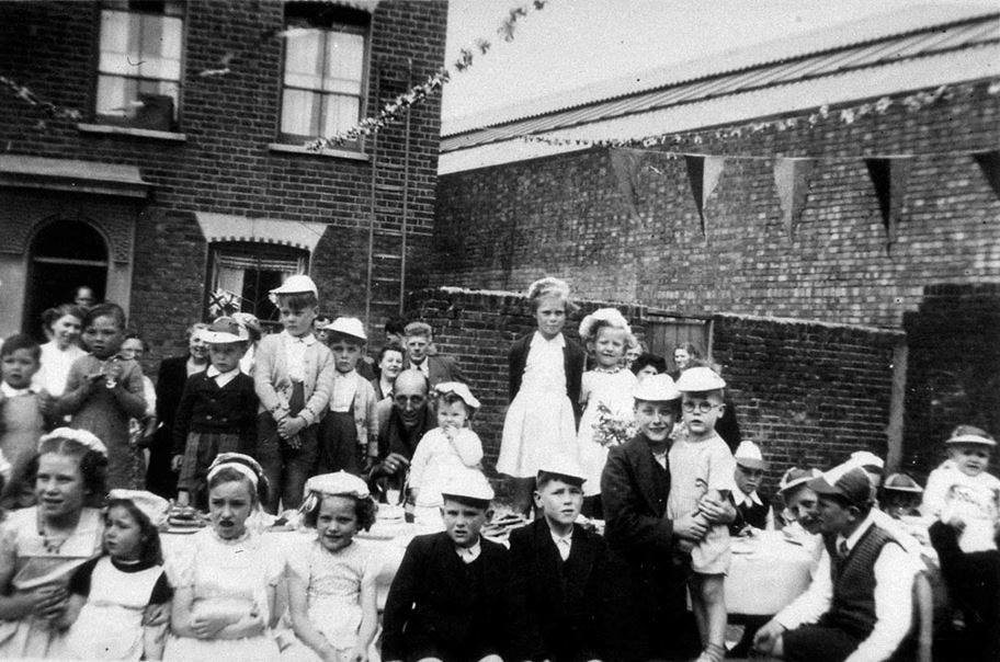
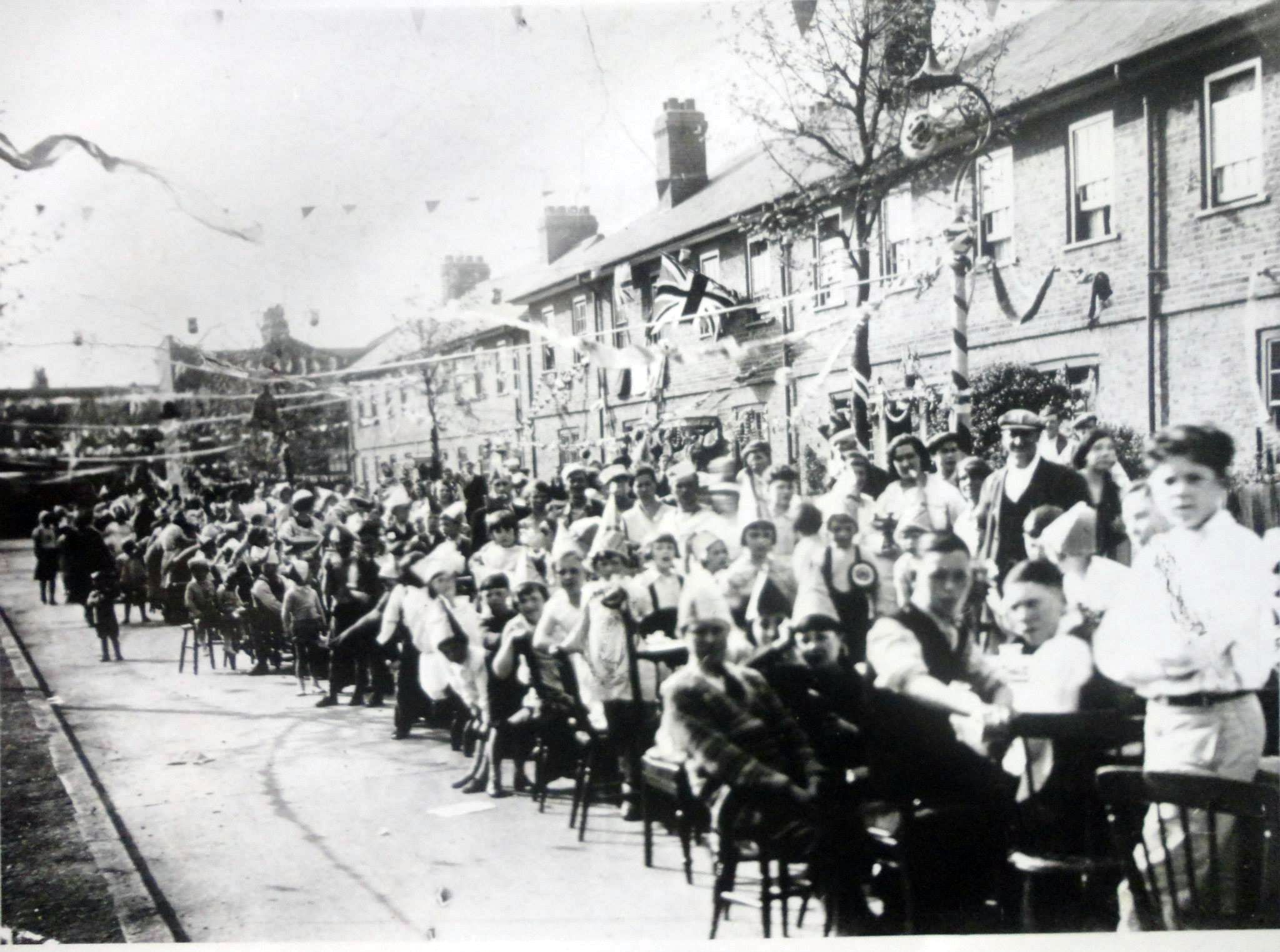
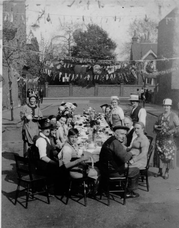
Post WWI peace party, Ferry St (East Ferry Rd in background). Island History Trust.
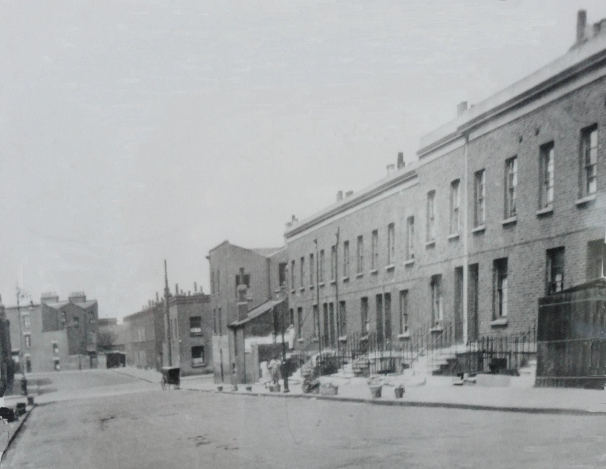
Ship St, looking from Saunders Ness Rd towards Stebondale St, crossing Manchester Rod in the middle distance. (Island History Trust)
Brig Street, Manchester Rd in the background (Island History Trust)
Newcastle St (later Glengarnock Ave). Island History Trust
Wharf Rd, now Saunders Ness Rd, near Calder’s Wharf. Barque St on right. Row of houses was known as College View.
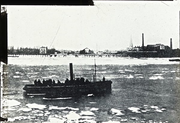
The 1920s and a partially frozen Thames. Cumberland Oil Mills are on the right. On the left, Island Gardens and Osborne House
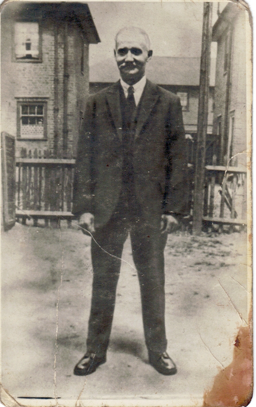
Parsonage St, with Manchester Rd (and vicarage) in the background. Photo by Haden or Harden? Comment from Gill Denman: I am related to the people I mentioned. I suspect the photo was taken by Mabel Brown’s father, he was apparently very into photography. The Pankhursts lived at 8 Parsonage Street, they left just before the street was bombed. Why I asked about the surname Harden is that would be a surname connected to Henry Brown’s family, they would be my cousins, I’ve never met them or had contact with them. They might have a copy of his picture. I would be very interested to know where the family is.
17 Billson St. Photo: Island History Trust / Mrs. Mitchell
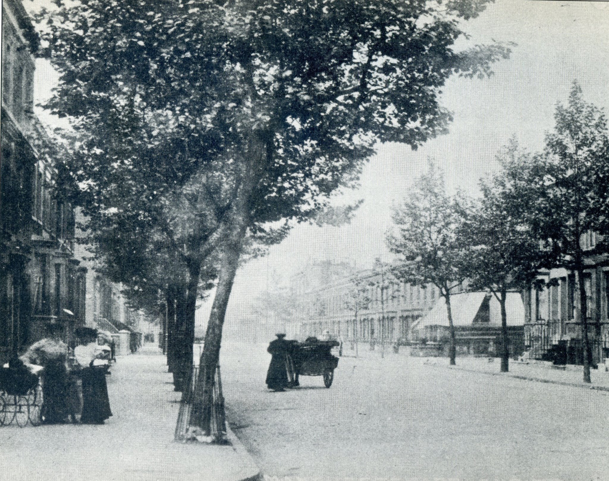
Seyssel St, 1920
New Developments
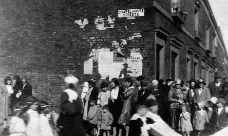
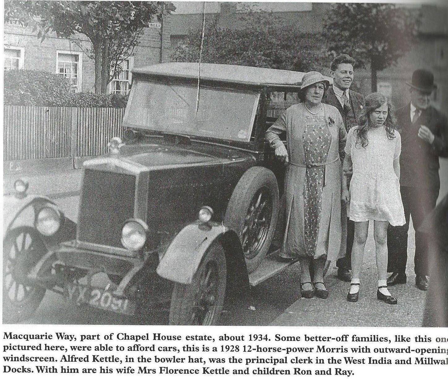
In the 1920s, Poplar Borough Council built new homes on undeveloped land in Cubitt Town – including land east of the Nelson, and in Billson, Parsonage, Kingfield and Stebondale Street. Survey of London:
Completed in 1921, [the Chapel House Estate, of which the houses in Manchester Grove were a part] was a worthy inauguration of the Borough Council’s housing programme and there was great pride at Poplar’s first ‘Garden City’.
These ‘Homes fit for Heroes’ set a standard which was scarcely surpassed, and all too often never reached, by later council developments; the quiet, almost villagey atmosphere provides a pleasant oasis and is a lasting testimony to the Garden City spirit.
Manchester Grove
It was not until May 1923, despite characteristically vigorous protests from the Borough Council, that approval was given for the Kingfield Street scheme under the rather less generous terms of the Housing Act just introduced by the new Conservative Minister of Health, Neville Chamberlain. The estate was finally completed in 1924.

Kingfield Street
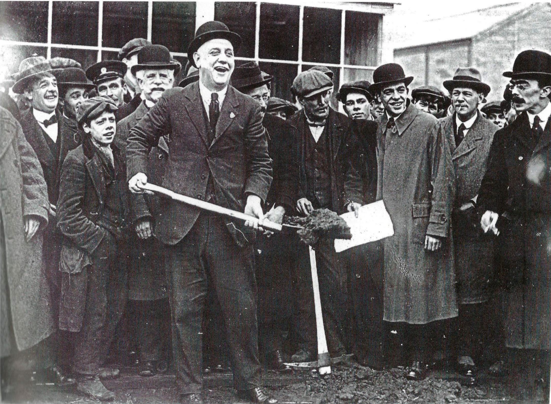
In 1935, local firm R. & H. Green & Silley Weir built a group of cottage-flats for retired shipbuilding workers or their families, Jubilee Crescent.
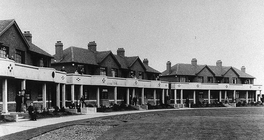
Jubilee Crescent (Island History Trust)
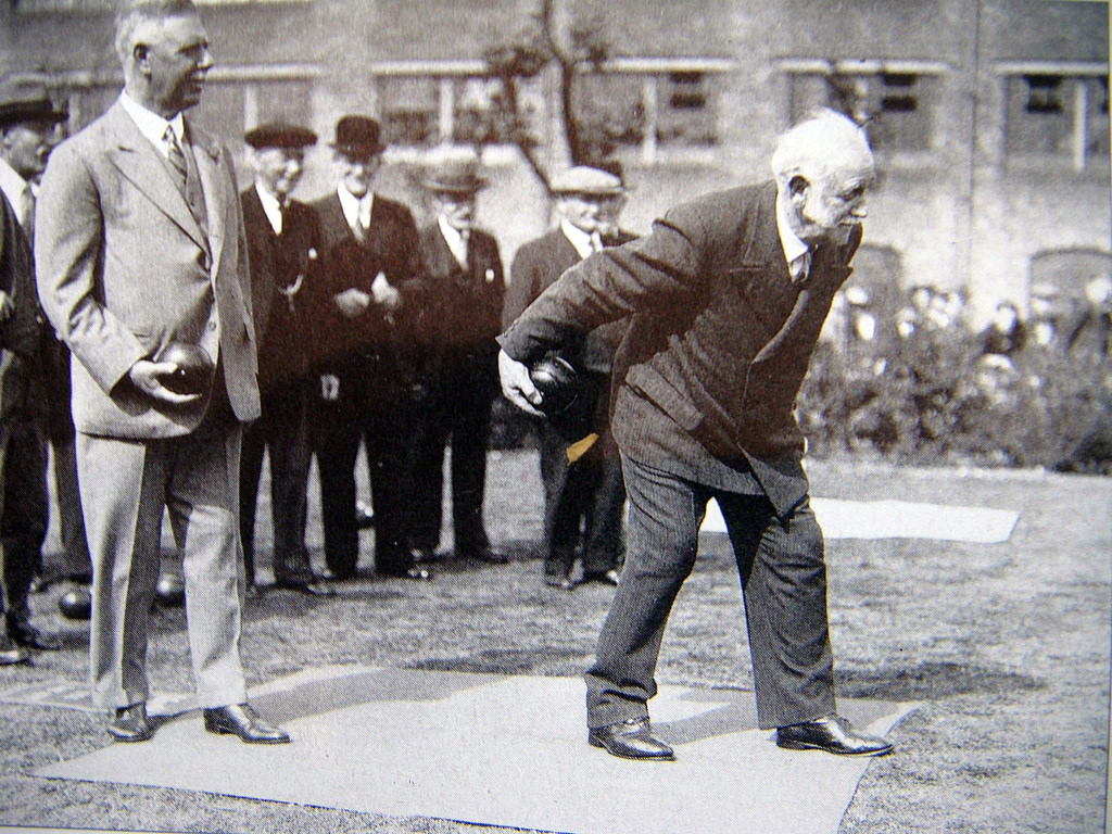
Mayor of Poplar, George Lansbury, playing bowls at the ceremonial opening of Jubilee Crescent.
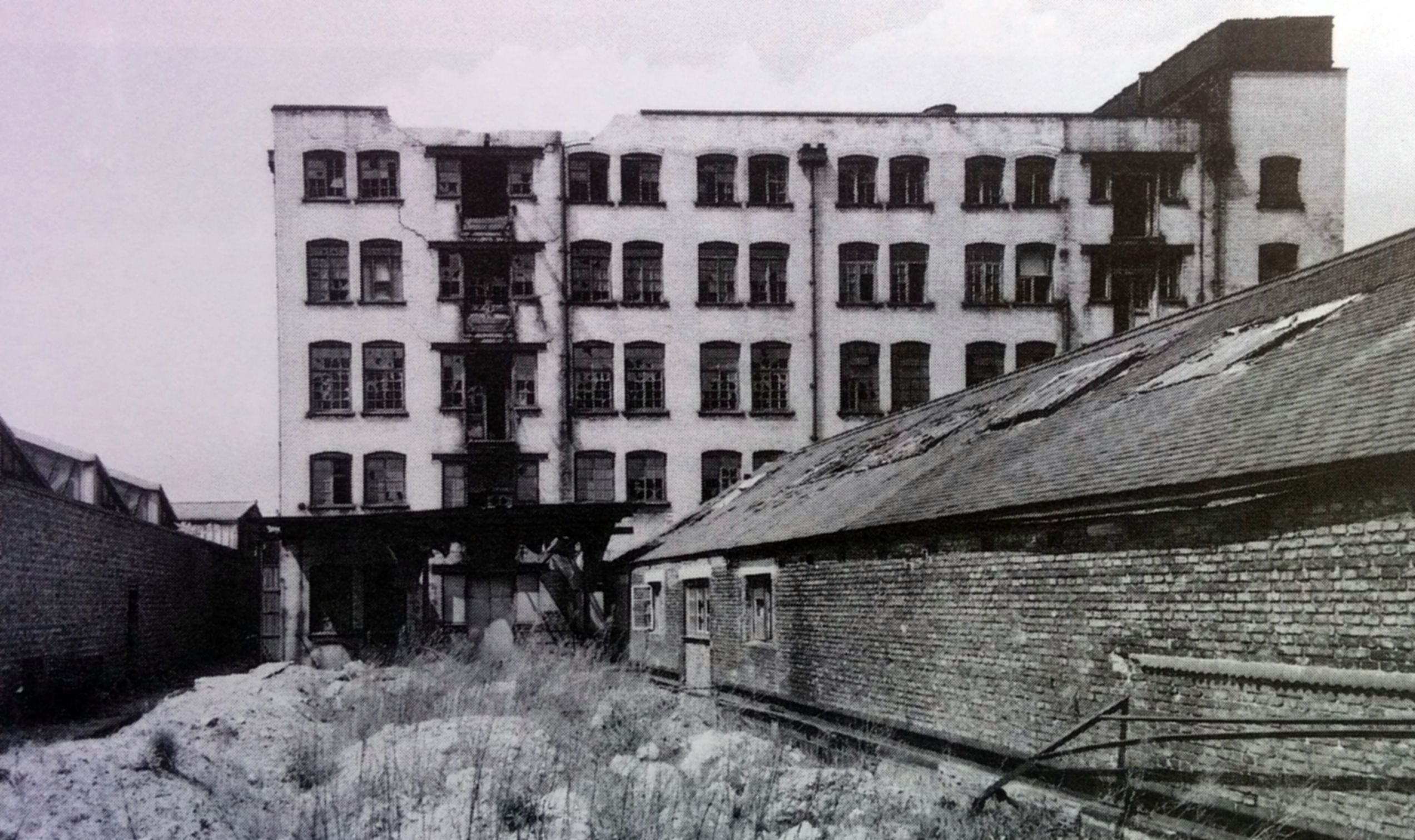
Around this time, Cubitt Town School in Saunder’s Ness Road was demolished, and adjacent land was purchased for the construction of a new, enlarged school.
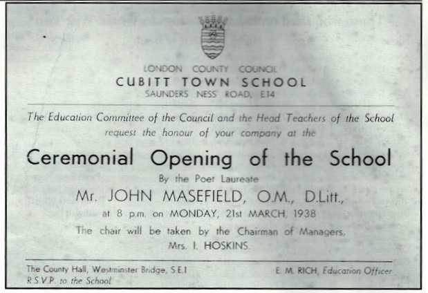
1938
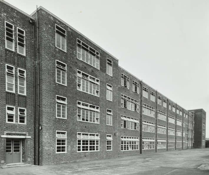
Cubitt Town School, 1938. Photo: London Metropolitan Archives (City of London)
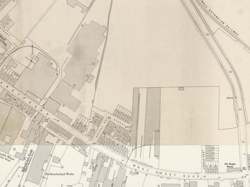
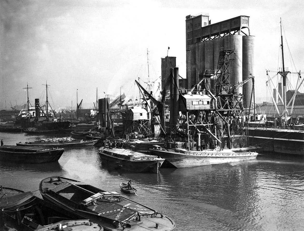
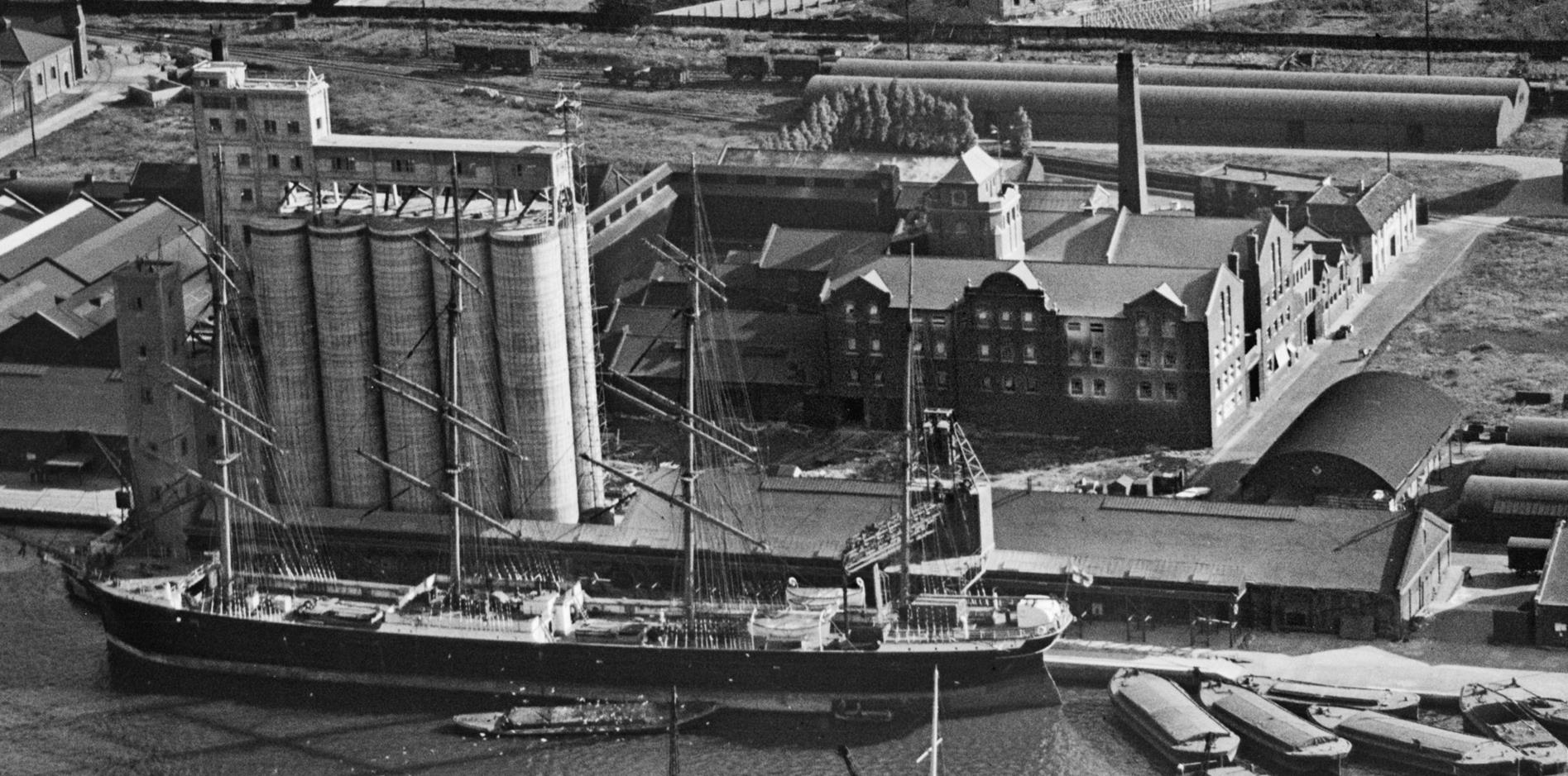
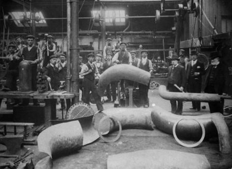
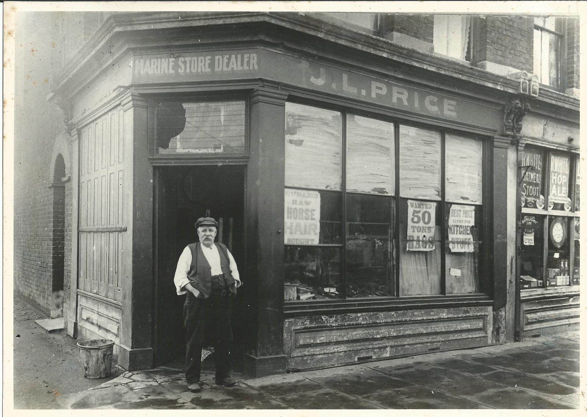
Industry
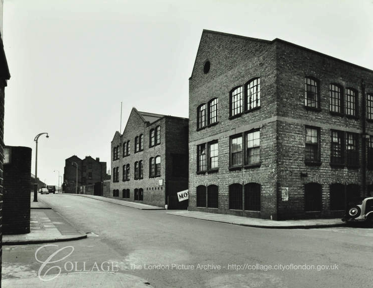
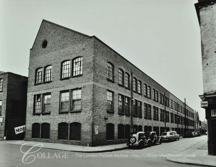
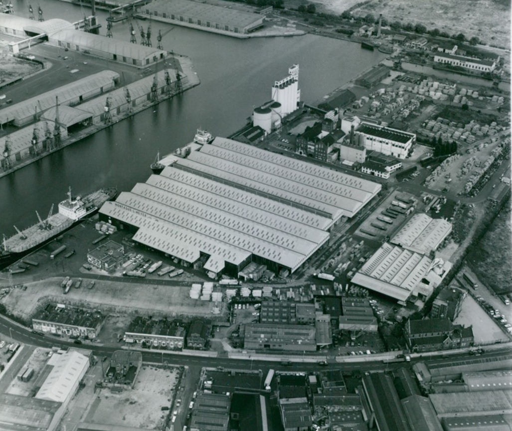
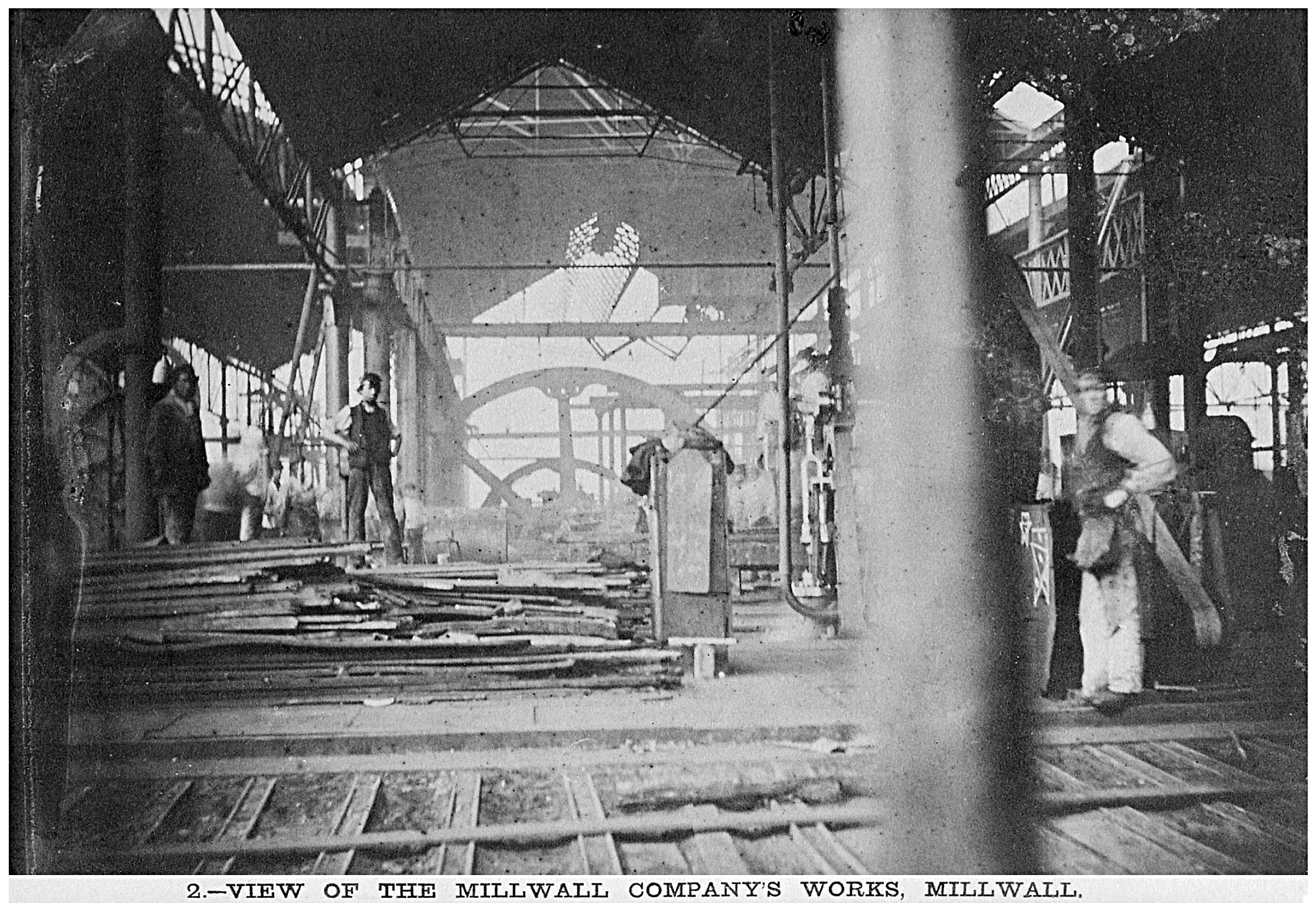
As was the case with the rest of the Island, industry was located largely along the river in south Cubitt Town. Unlike the rest of the Island, there was not much in the way of shipbuilding firms – probably because this industry (on the Island at least) was in decline at the time of the development of Cubitt Town.
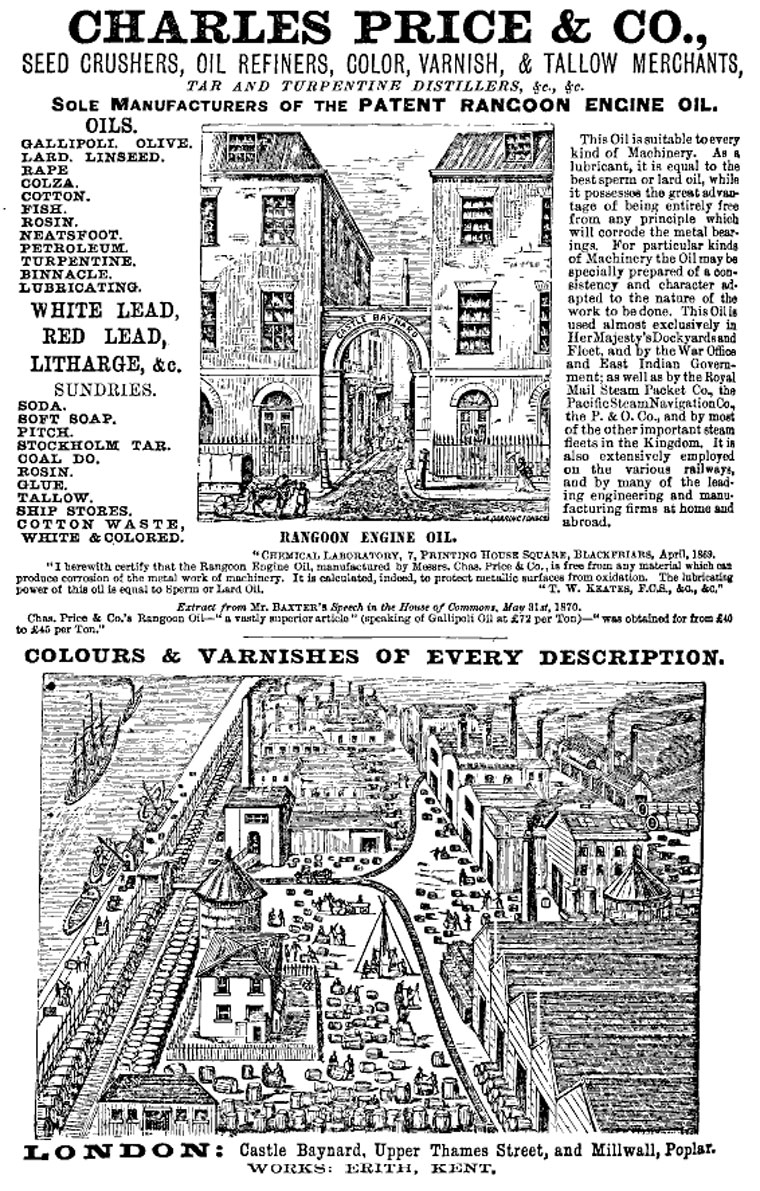
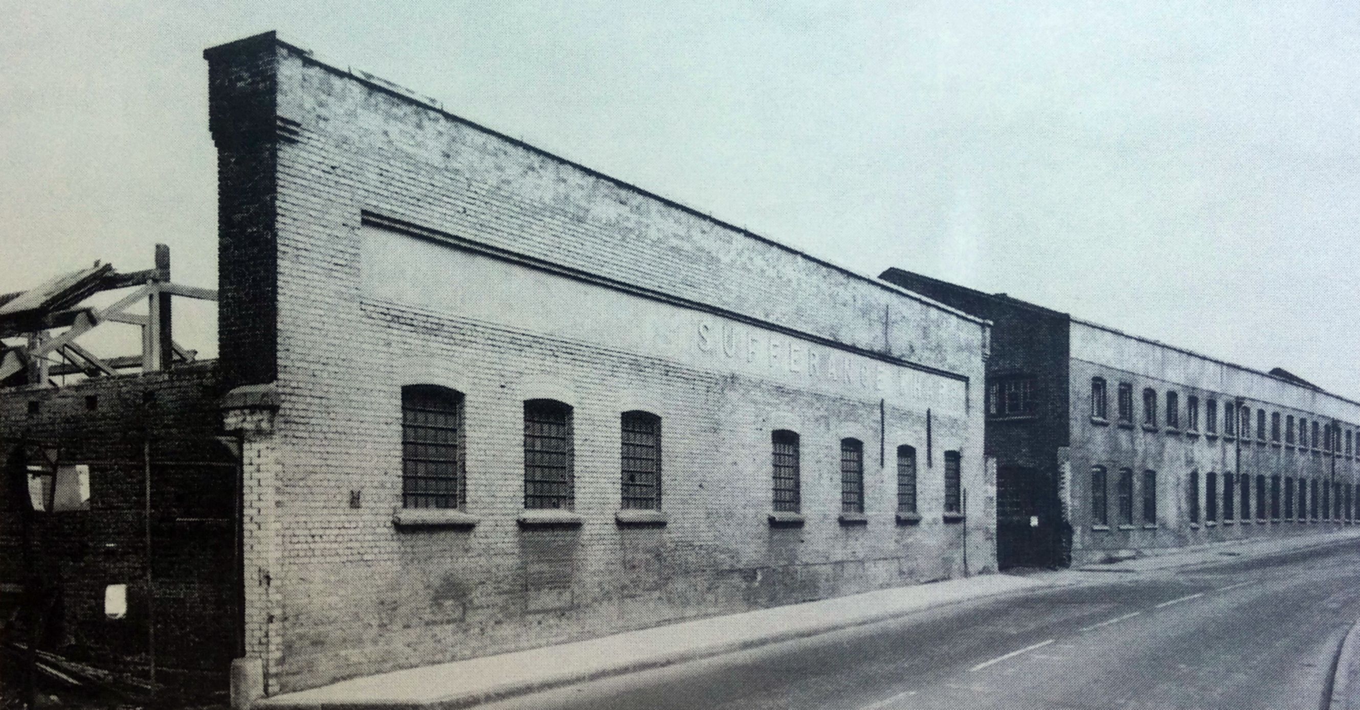
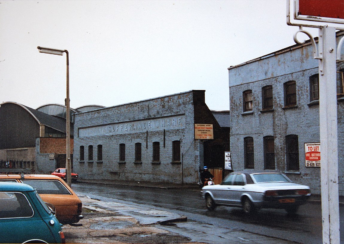
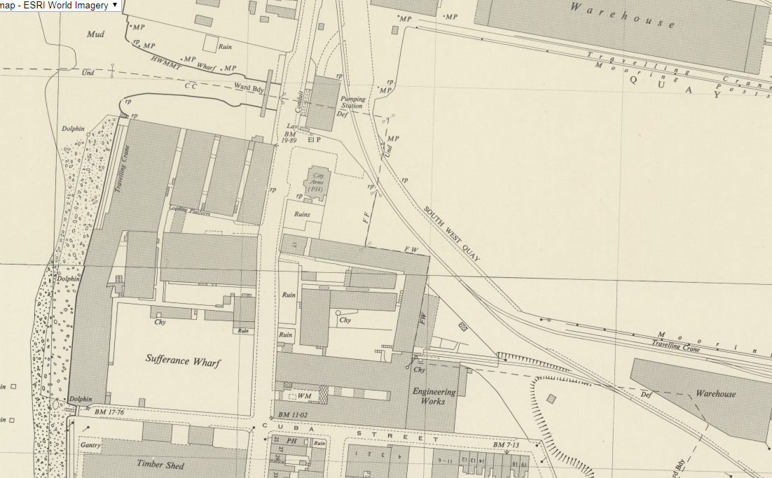
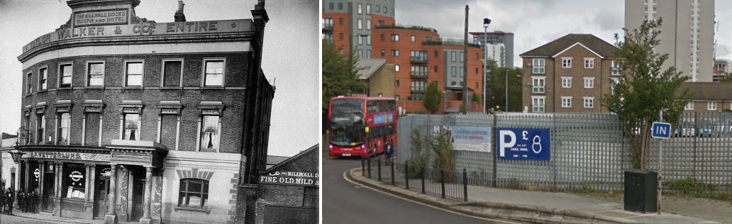
Notable firms/works included Seyssel Asphalte, Storer’s Paints, Cumberland Oil Mills, Dudgeon’s, Grosvenor Wharf, Cubitt Town Wharf, and James Ash; some of whom are remembered in modern street names.
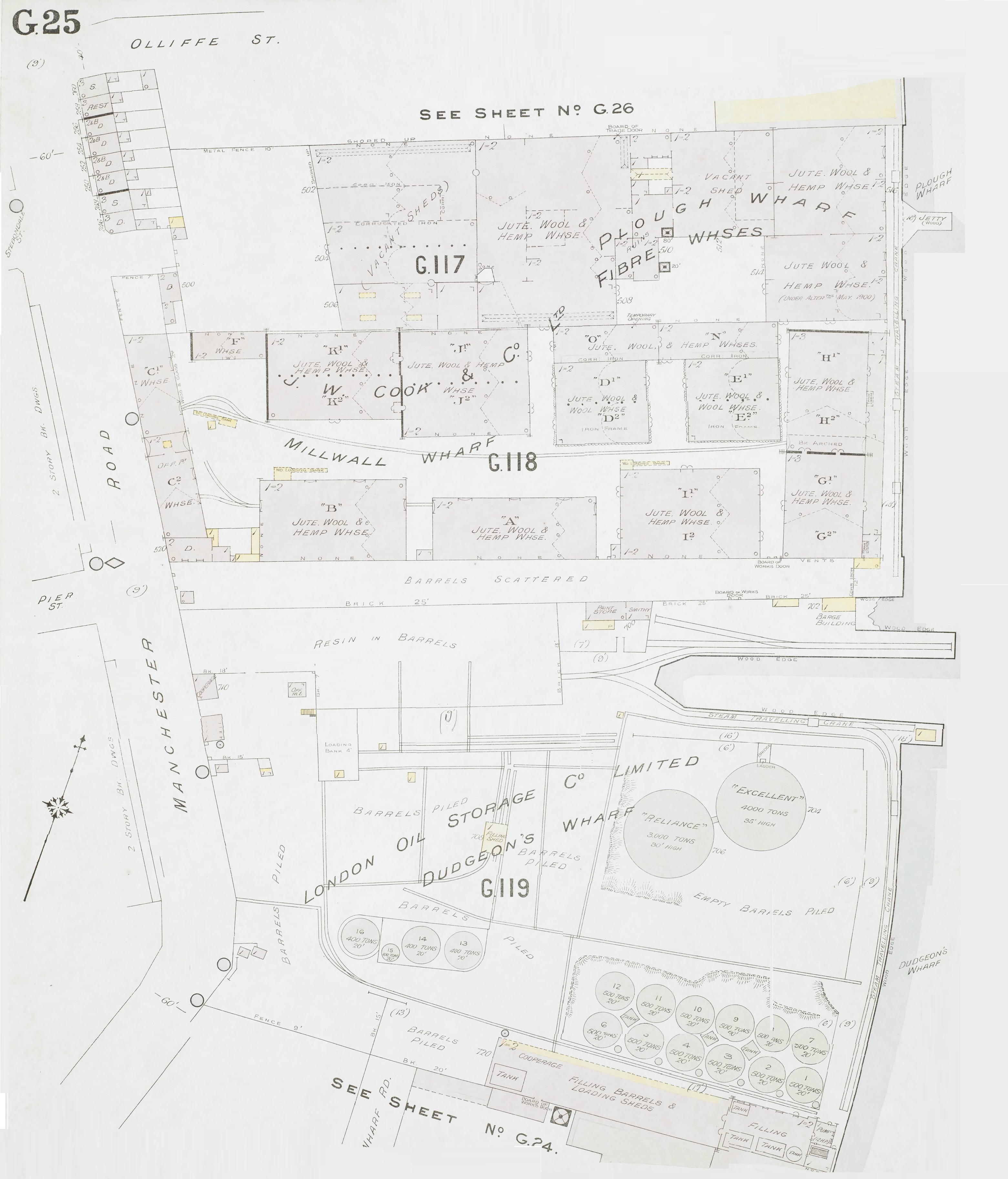
1900 insurance map
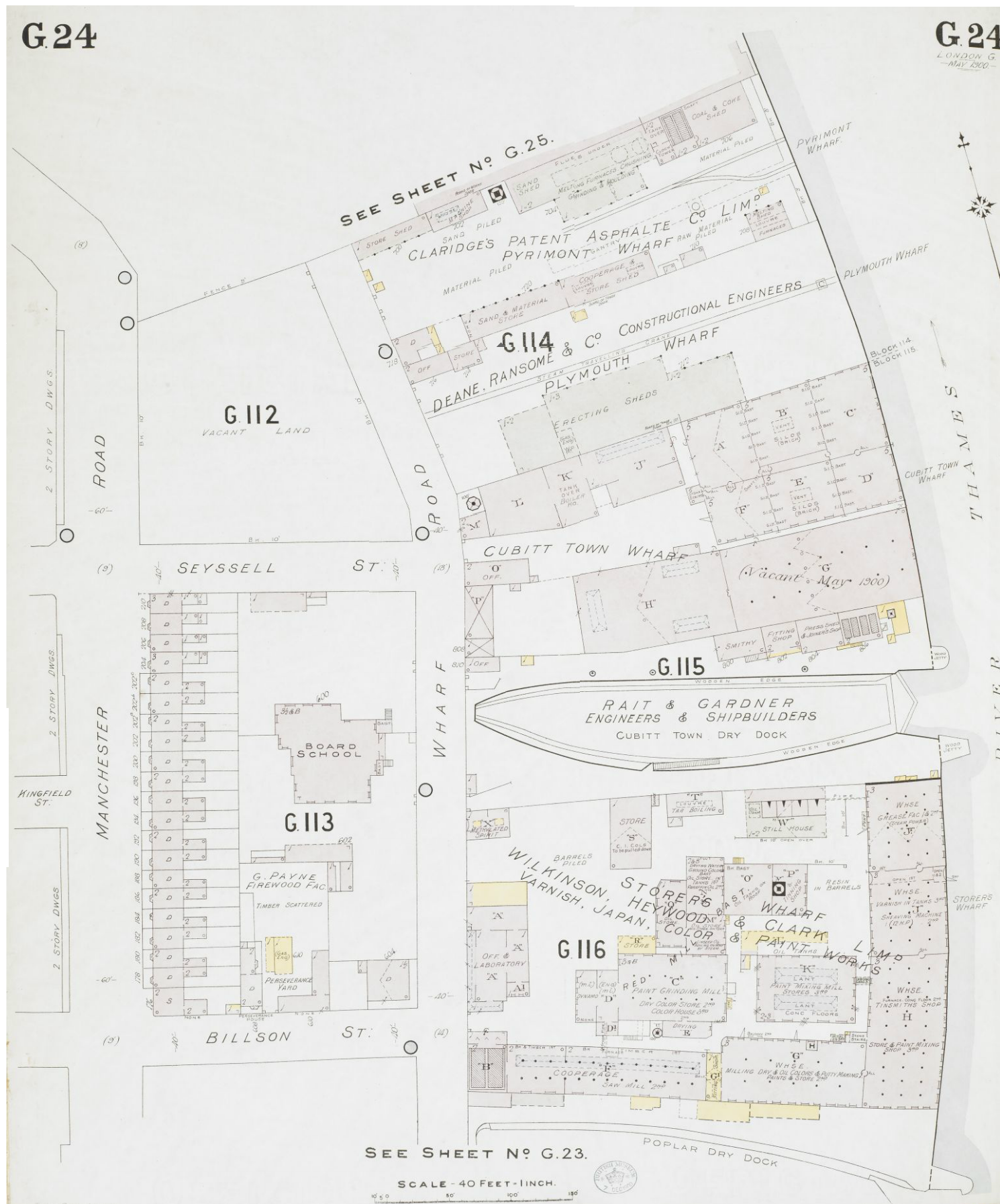
1900 insurance map
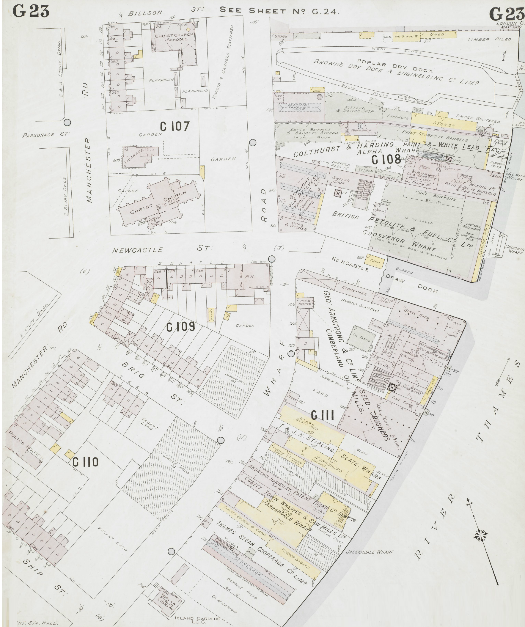
1900 insurance map
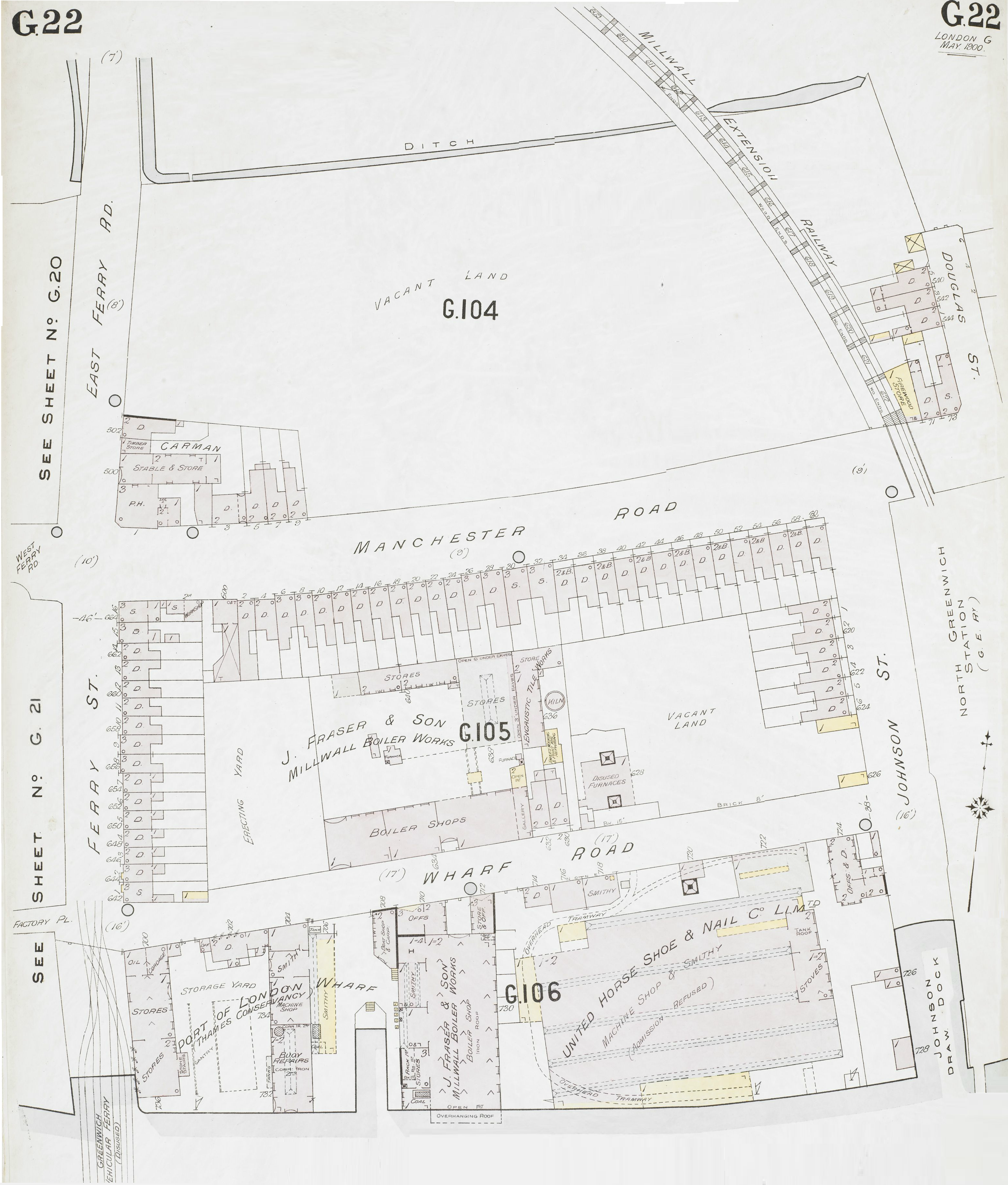
1900 insurance map
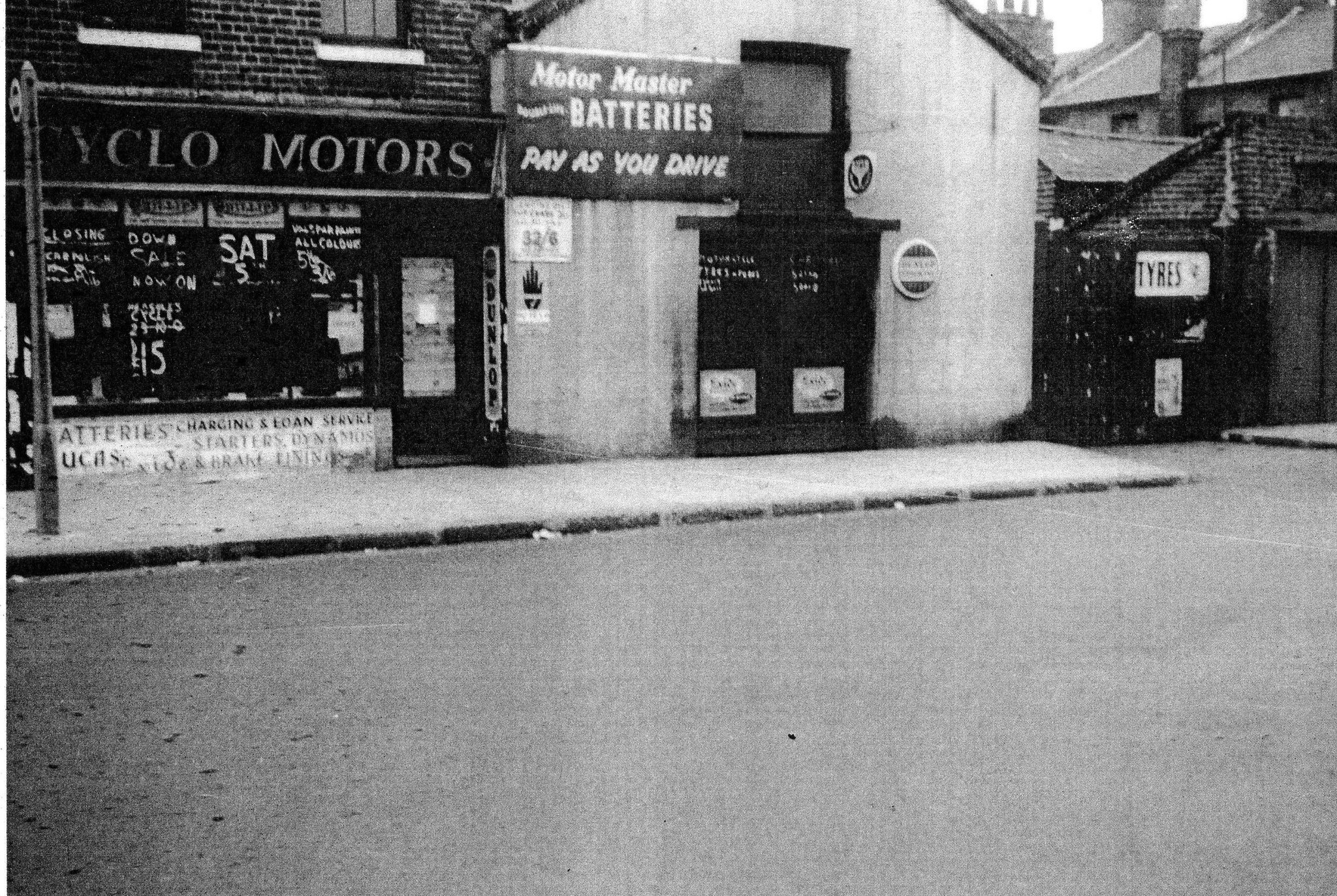
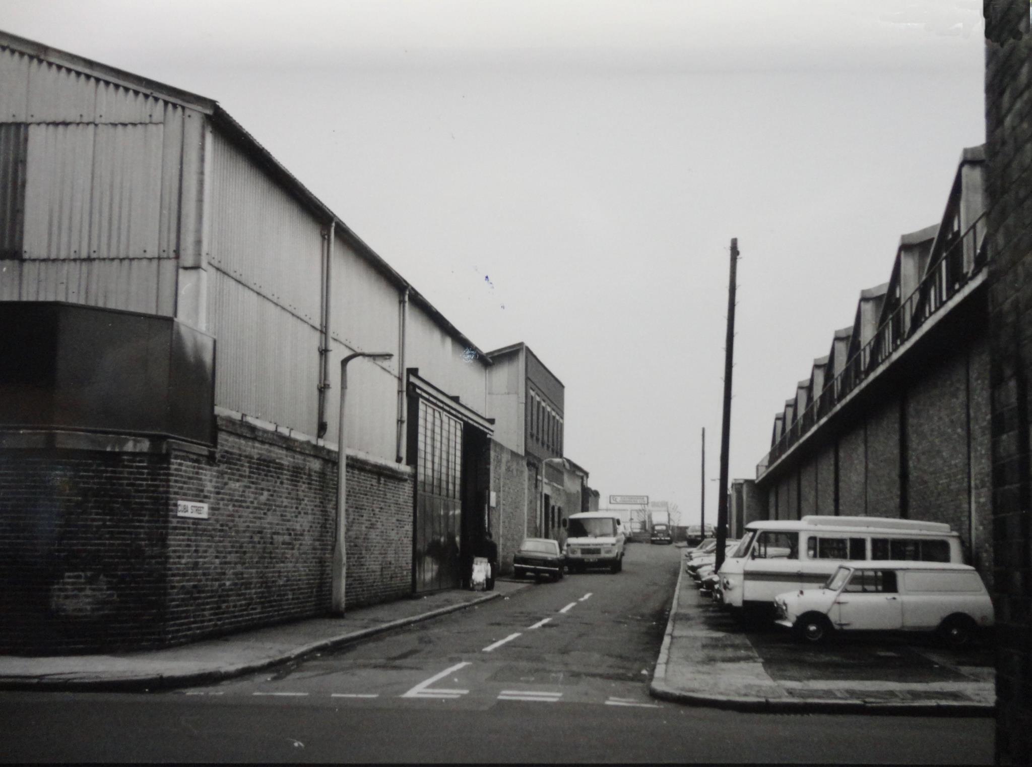
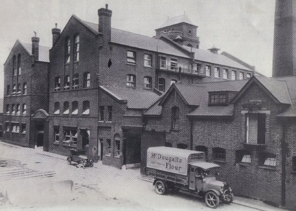
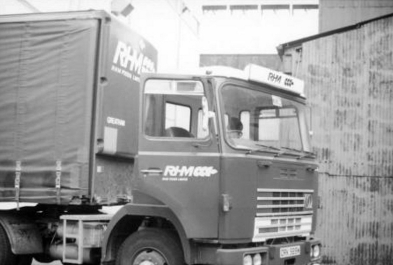
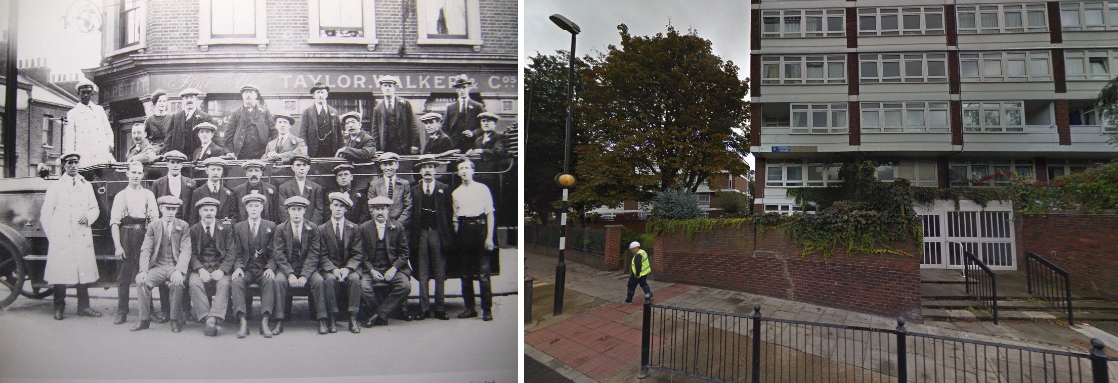
Cyclo Motors, opposite the Nelson
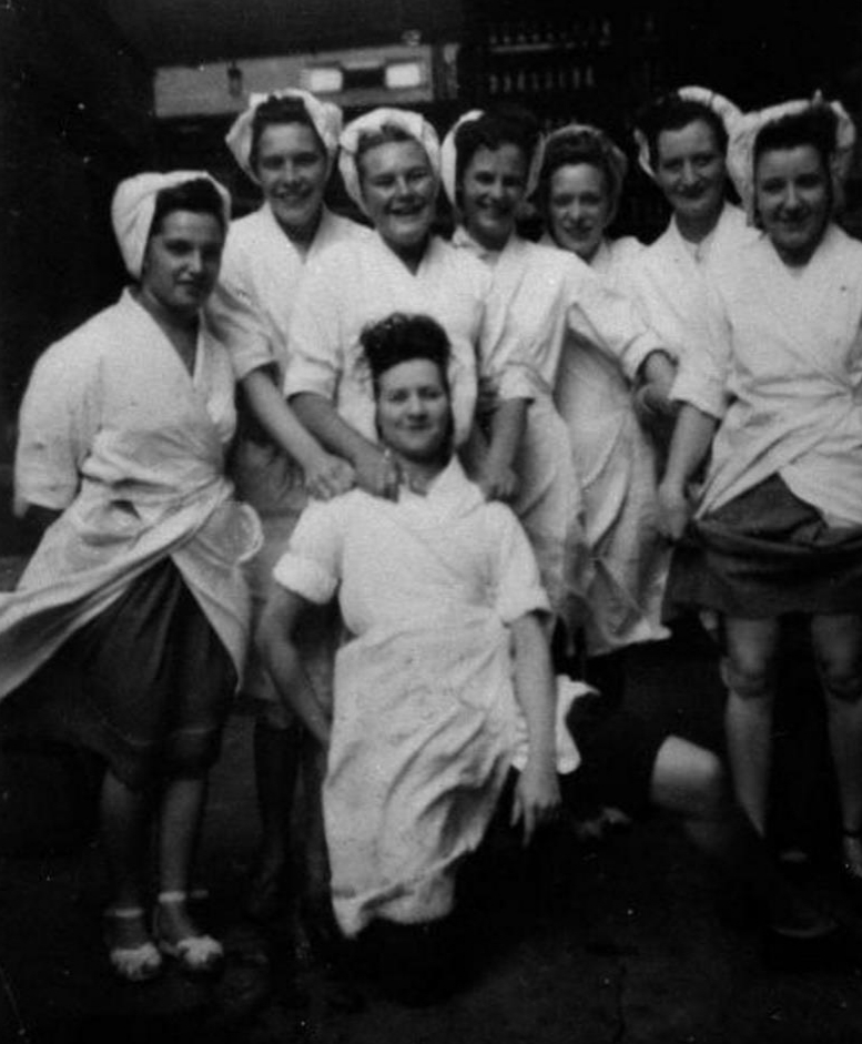
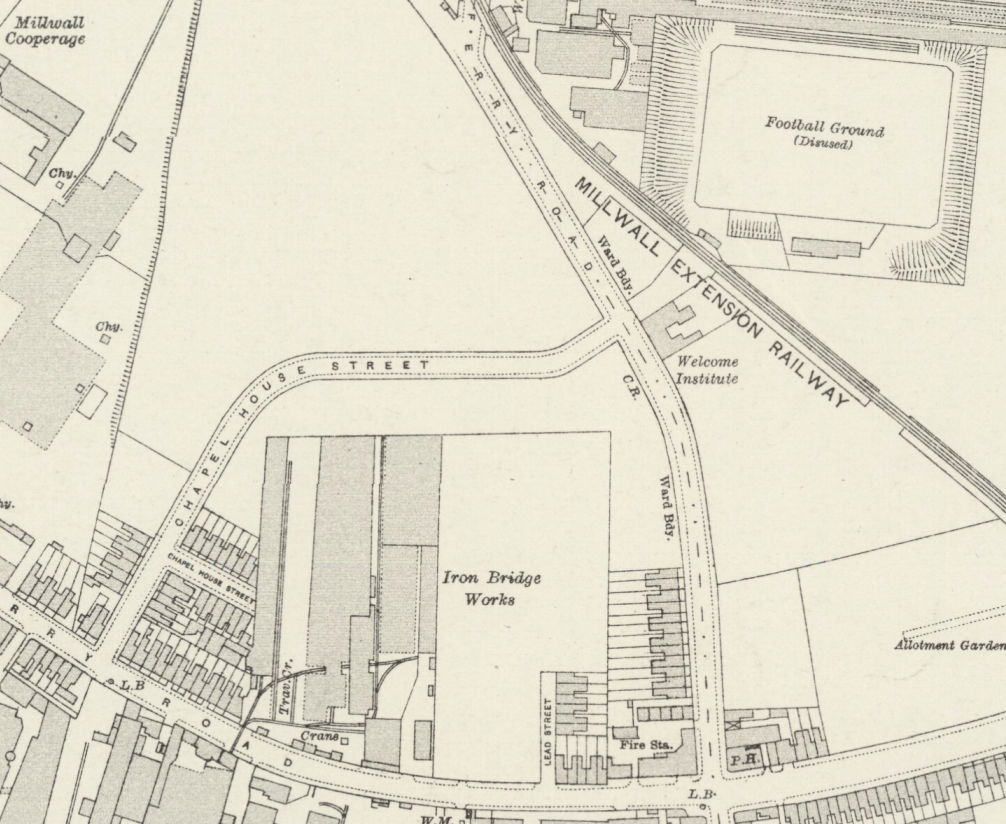
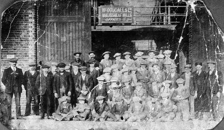
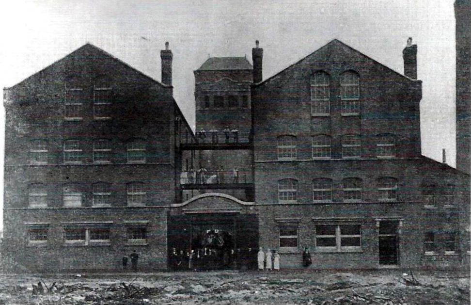
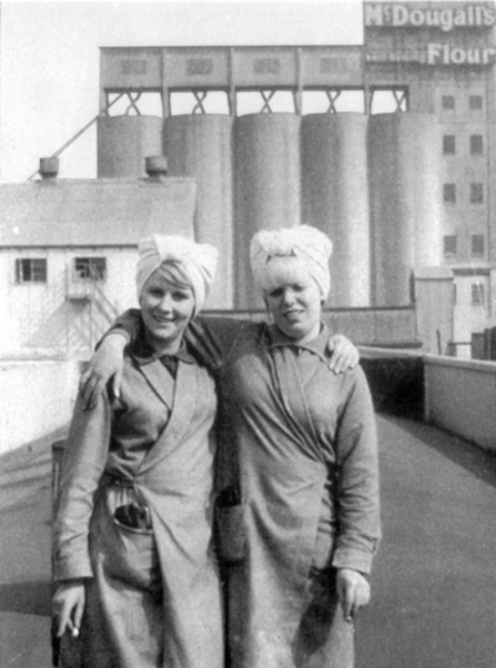
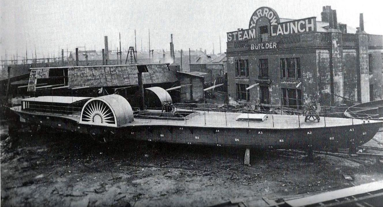
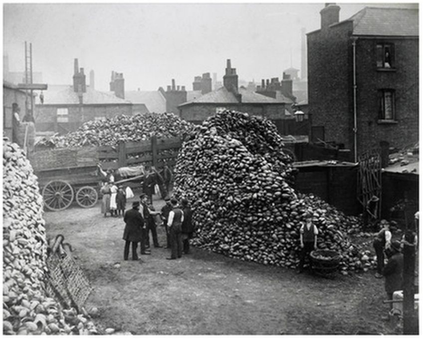
One firm that was not situated near the river was Hawkins & Tipson, who established their Globe Rope Works in East Ferry Road in 1881, with a rope walk that ran for 1,270 ft between the Mudchute and the later Millwall Park.

Rope Walk. Photo: Island History Trust / J. Studd
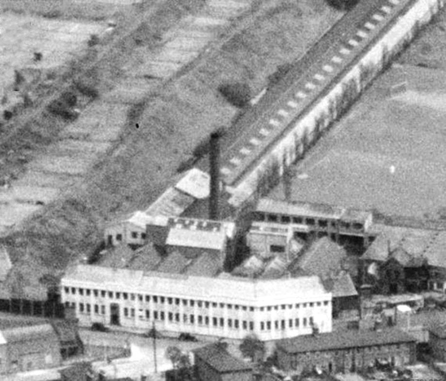
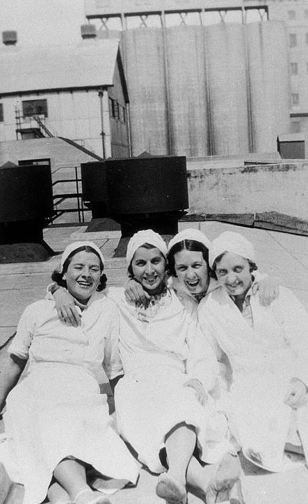
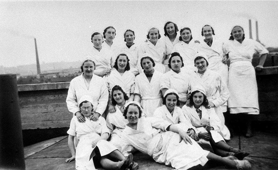
Aerial view of Hawkins & Tipson
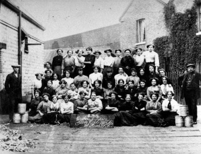
Hawkins & Tipson Workers, 1905 (Island History Trust)
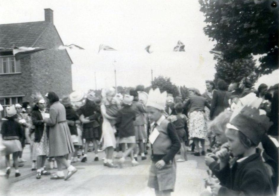
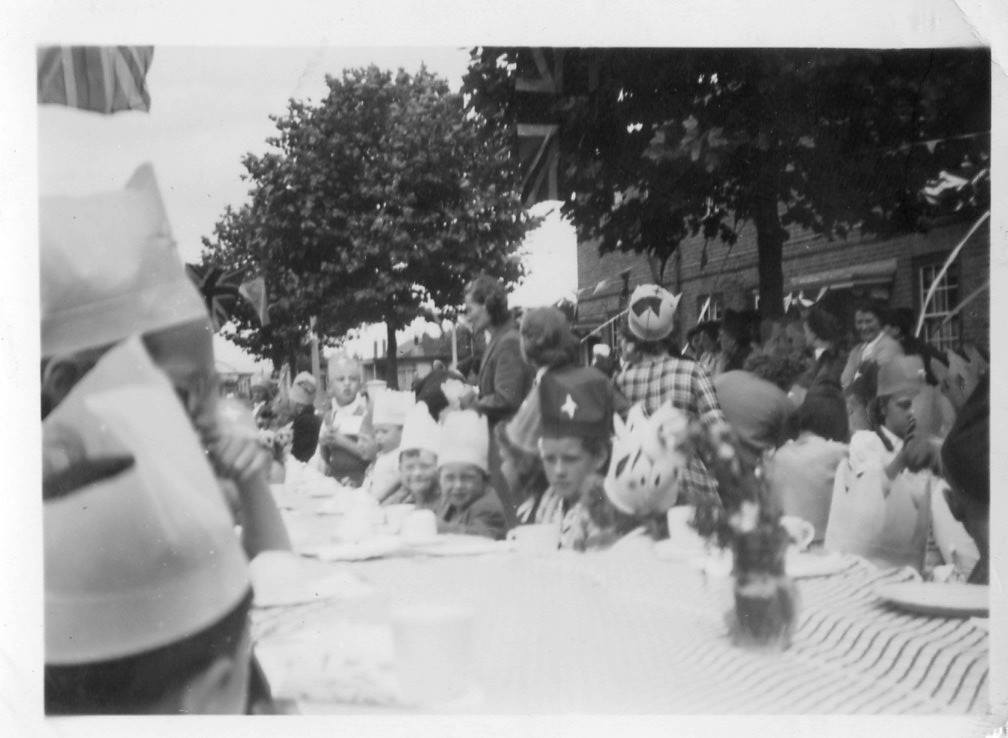
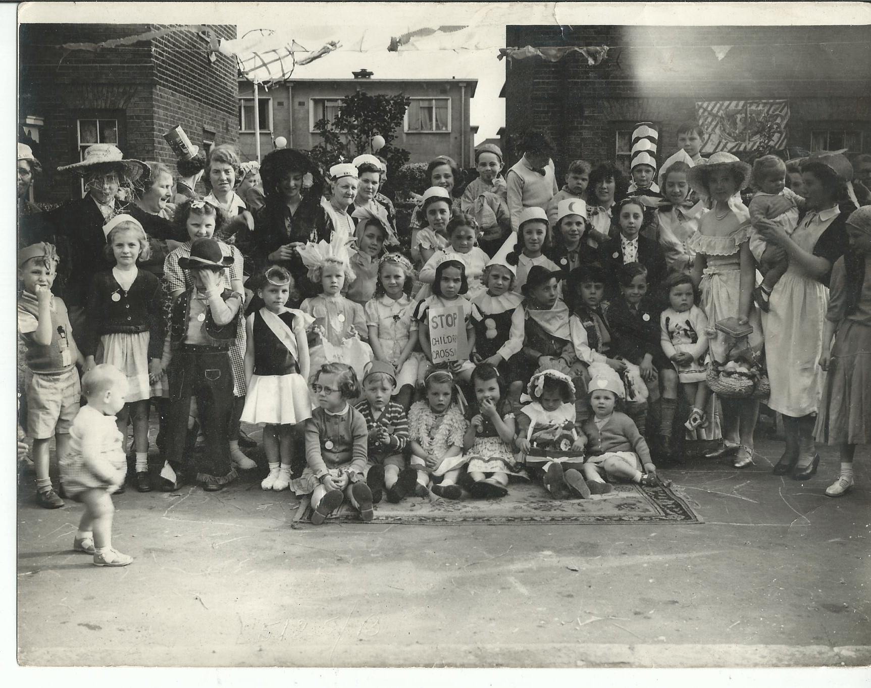
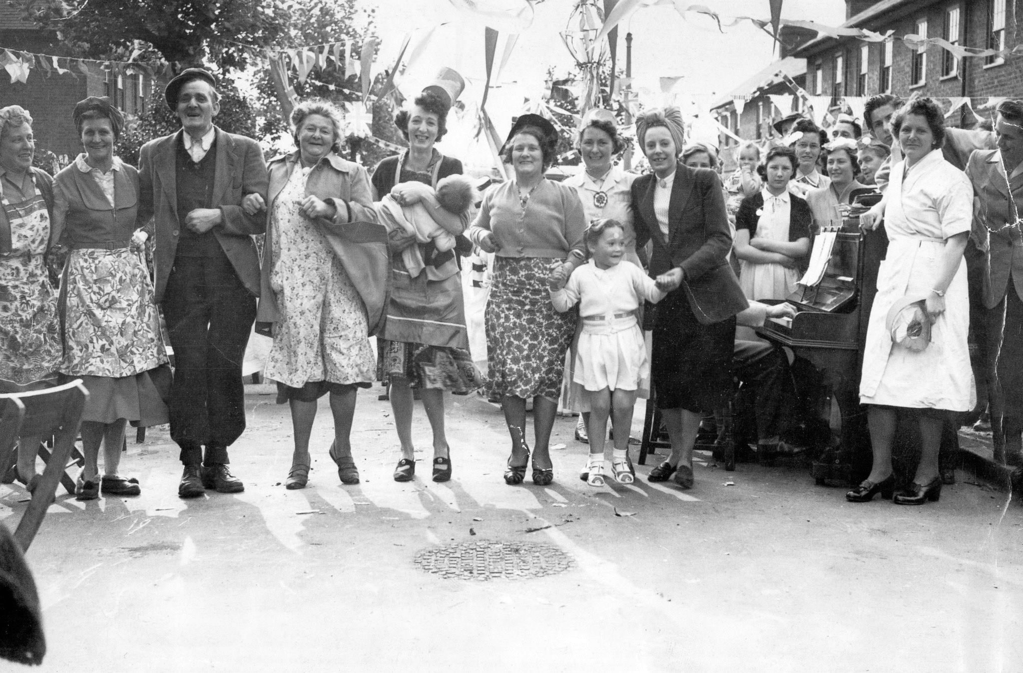
World War II
As stated in many of my blog articles, World War II changed everything. In the 50 years or so leading up to 1939, the Island’s fabric didn’t change that much. Firms came and went, but the houses, buildings and docks provided a physical environment which must have been comfortingly reliable.
Unfortunately for Islanders, the docks were a significant Nazi target. Making the docks inoperable would severely impact Britain’s economic and military capabilities, and this extended to destroying the homes, roads and other infrastructure of those who worked in the docks. And also, the U-shaped bend in the Thames was an unmissable target for the Luftwaffe. (For those interested in the full story of the Island during WWII, I recommend my book, The Isle of Dogs During World War II, Well, I would say that, wouldn’t I 🙂 ).
In 1938, anticipating war, the War Office took over an area of land in the Mudchute west of Stebondale Street, paying compensation to the 37 allotment holders whose plots were appropriated. Four concrete ack-ack gun installations were built around a central control bunker.
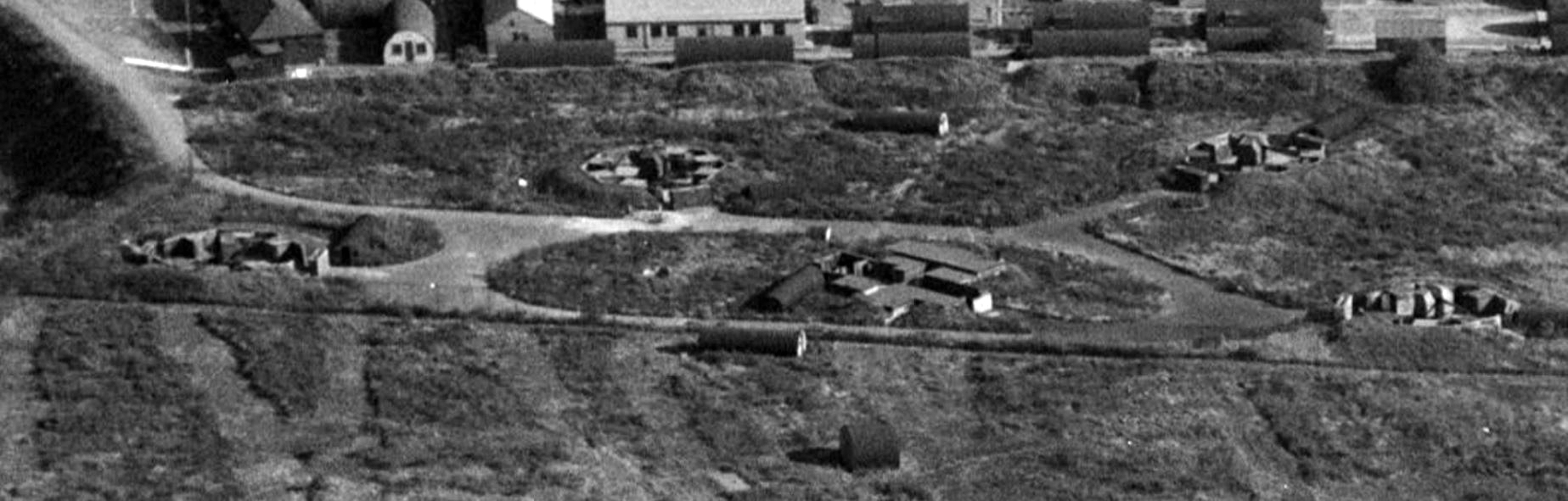
Mudchute anti-aircraft installation
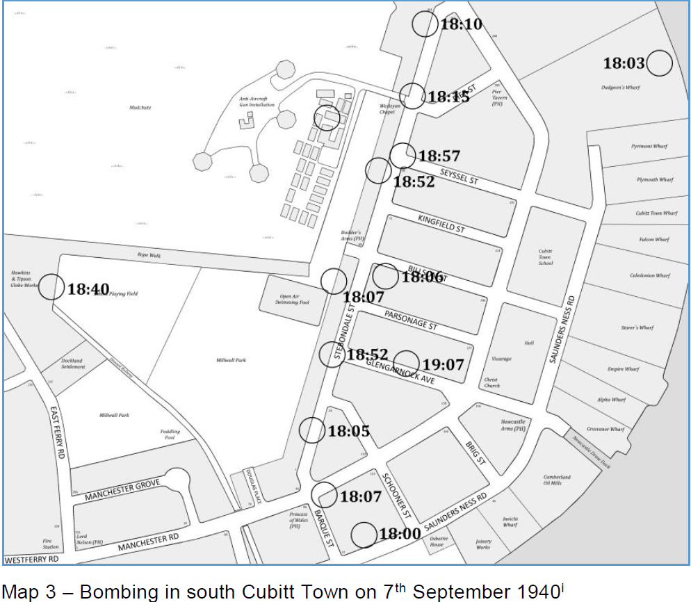
On 7th September 1940, the first day of the Blitz, Stebondale Street was seriously damaged, and there was damage to surrounding streets (as well as the swimming pool in Millwall Park being damaged beyond repair). The following map shows the recorded locations and times of the bombs that fell that night.
Shortly afterwards, in night of 18th/19th September, tragedy struck when Cubitt Town School – which had previously been commandeered for use by the emergency services – was hit by a parachute mine. 24 people were killed. Rescue Work, Bill Regan, described it thus:
What a bloody mess, the whole guts blown away, only two end flanks standing. There were more than 40 people stationed here; I only saw one survivor, the gatekeeper, a man who lived in Pier Street, who had lost a leg in the 14-18 war.
He said he saw this parachute coming down, and thought it was a barrage balloon, it was a parachute mine, and he was lucky to be on the opposite side to where it landed, with a building between him and it. He was blasted into the road, but miraculously none of the debris had hit him. Within minutes we had located the spot they were likely to be, and got two people out, but I don’t think they were alive as were working without lights and they were at best unconscious.
I don’t know how many we recovered, our relief came on at 8.00 a.m., but we carried on until nearly ten, when a squad from the other end of Poplar came to help.
The victims were fire-brigade personnel, ambulance men, and a complete mobile operating theatre, [which was] billeted next to our depot, in the swimming baths, and always left for Saunders Ness when the sirens sounded.
(Bill Regan’s moving wartime diaries have been published by his daughter Ann, and are available from Amazon: Heavy Rescue Squad Work on the Isle of Dogs: Bill Regan’s Diary from the Second World War).
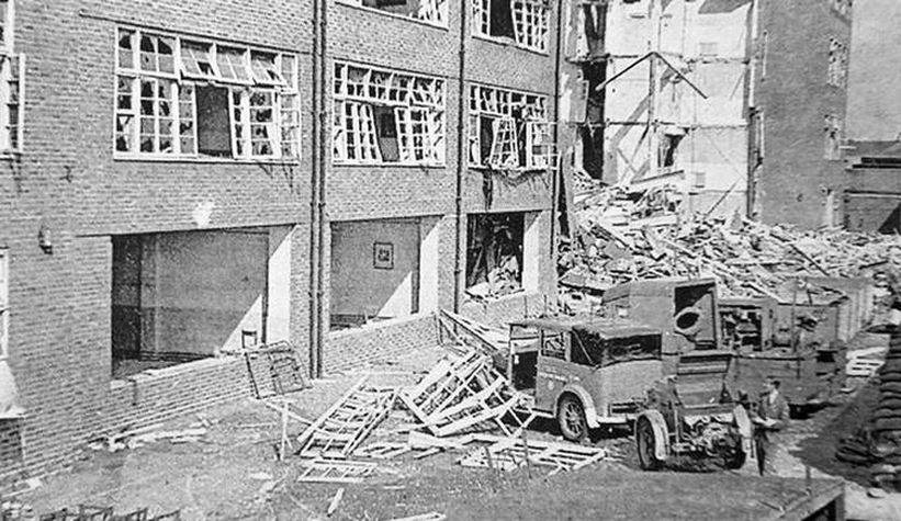
Cubitt Town School after the bombing
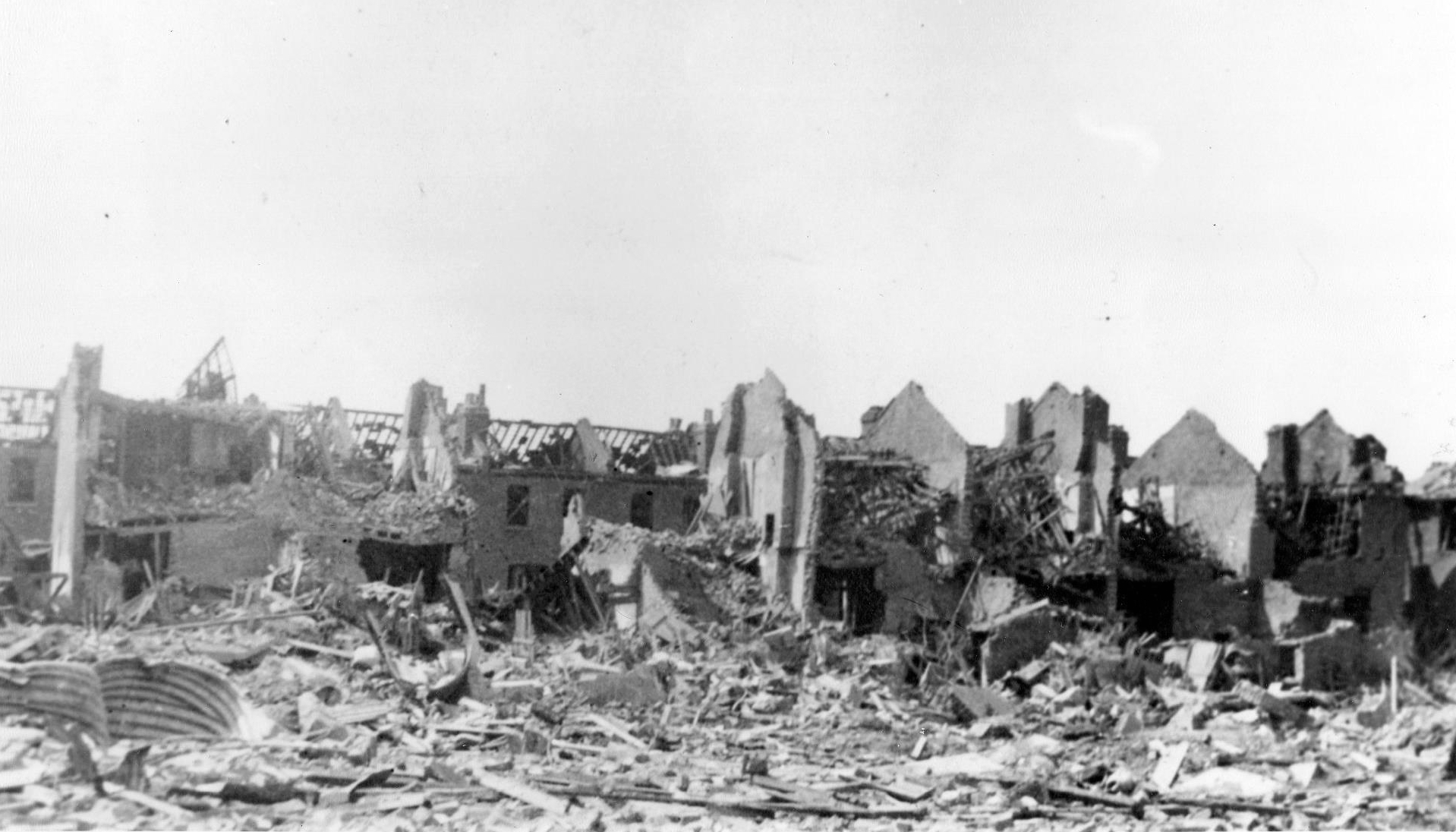
Significant damage also occurred in the night of 19th and 20th April 1941, when a parachute mine destroyed many houses in Billson St, Parsonage St and the surrounding area, killing many. Bill Regan again:
It took out all of Parsonage Street, all of one side of Billson Street, the other side was wrecked but not flattened, the Stebondale Street end, and the Manchester Road end, and parts of one side of Newcastle Street [Glengarnock Avenue] were totally wrecked, but parts still standing.
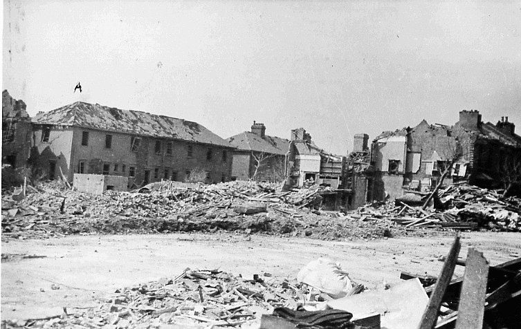
Billson St and Parsonage St. Photo: Bill Regan.
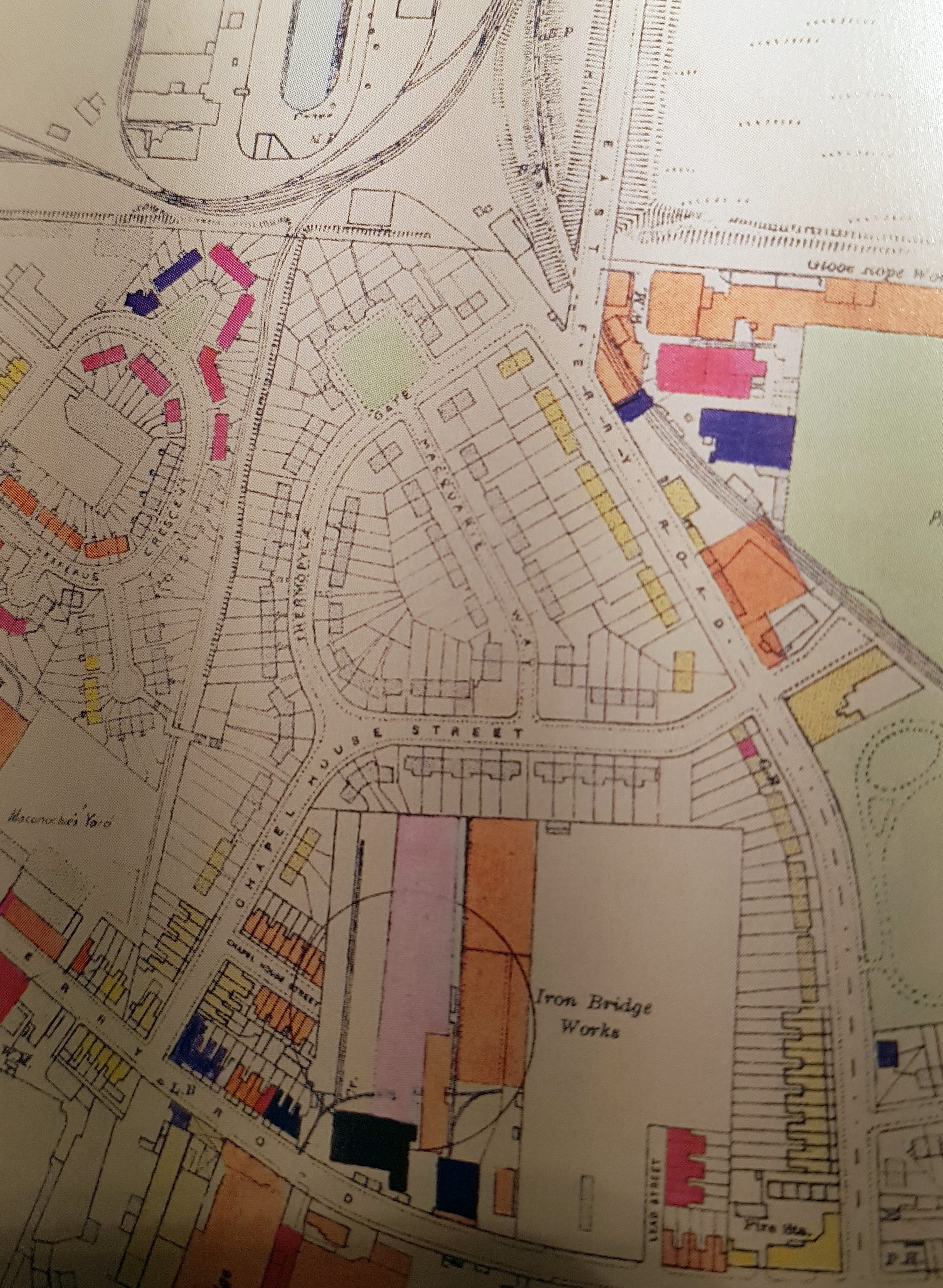
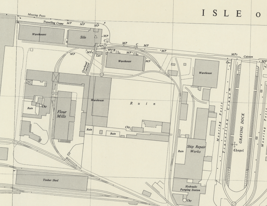
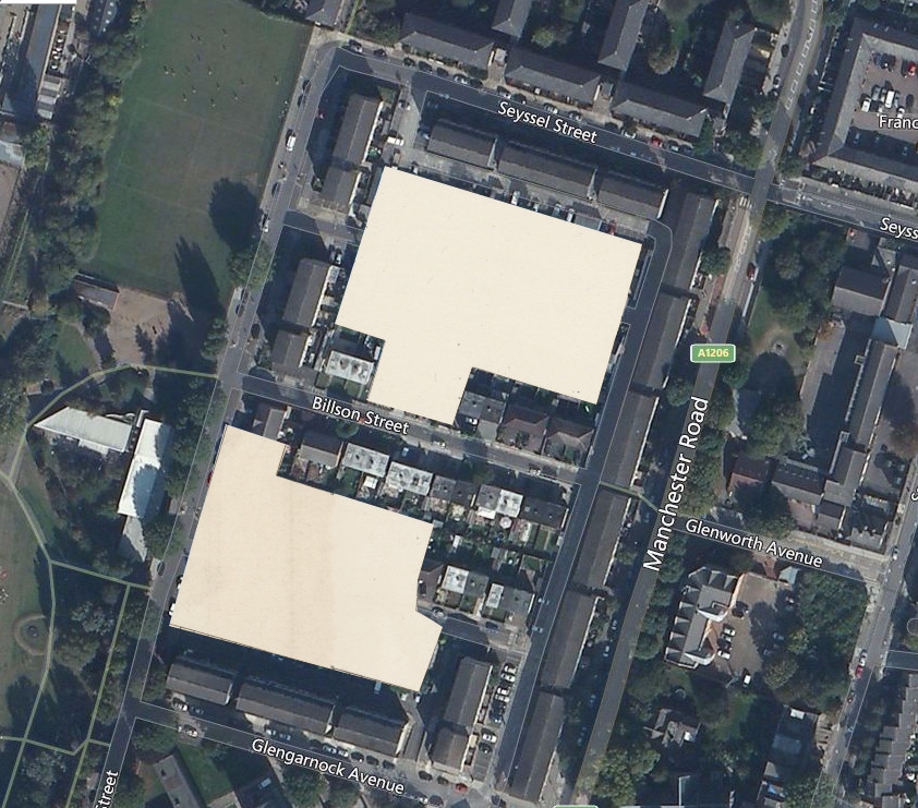
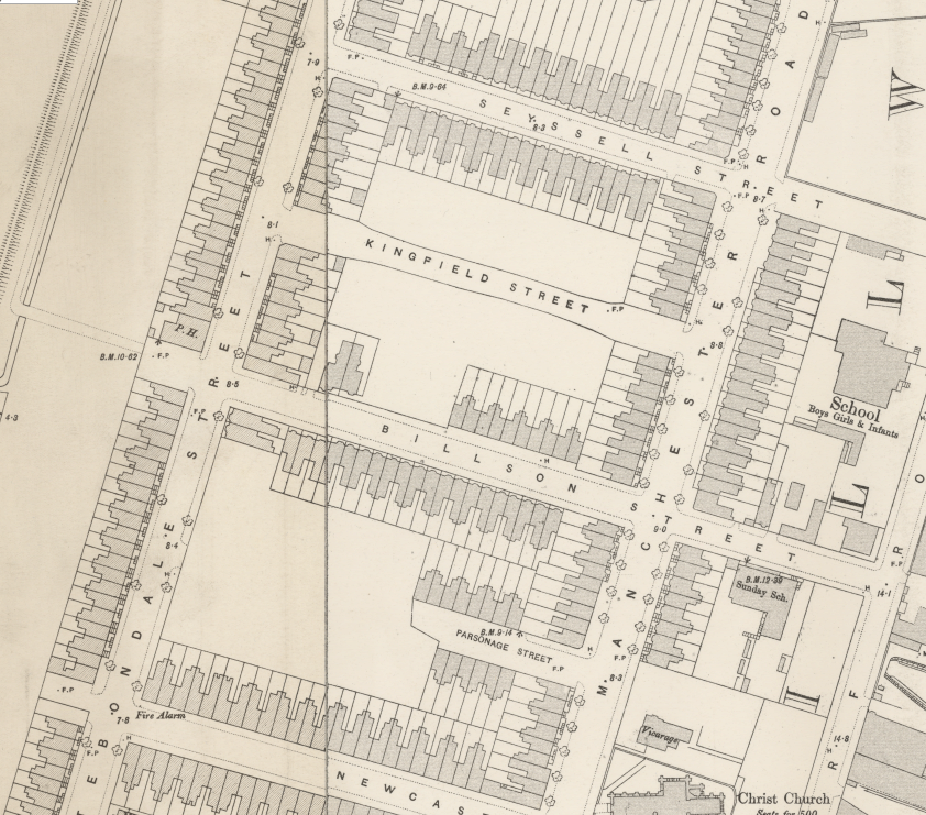
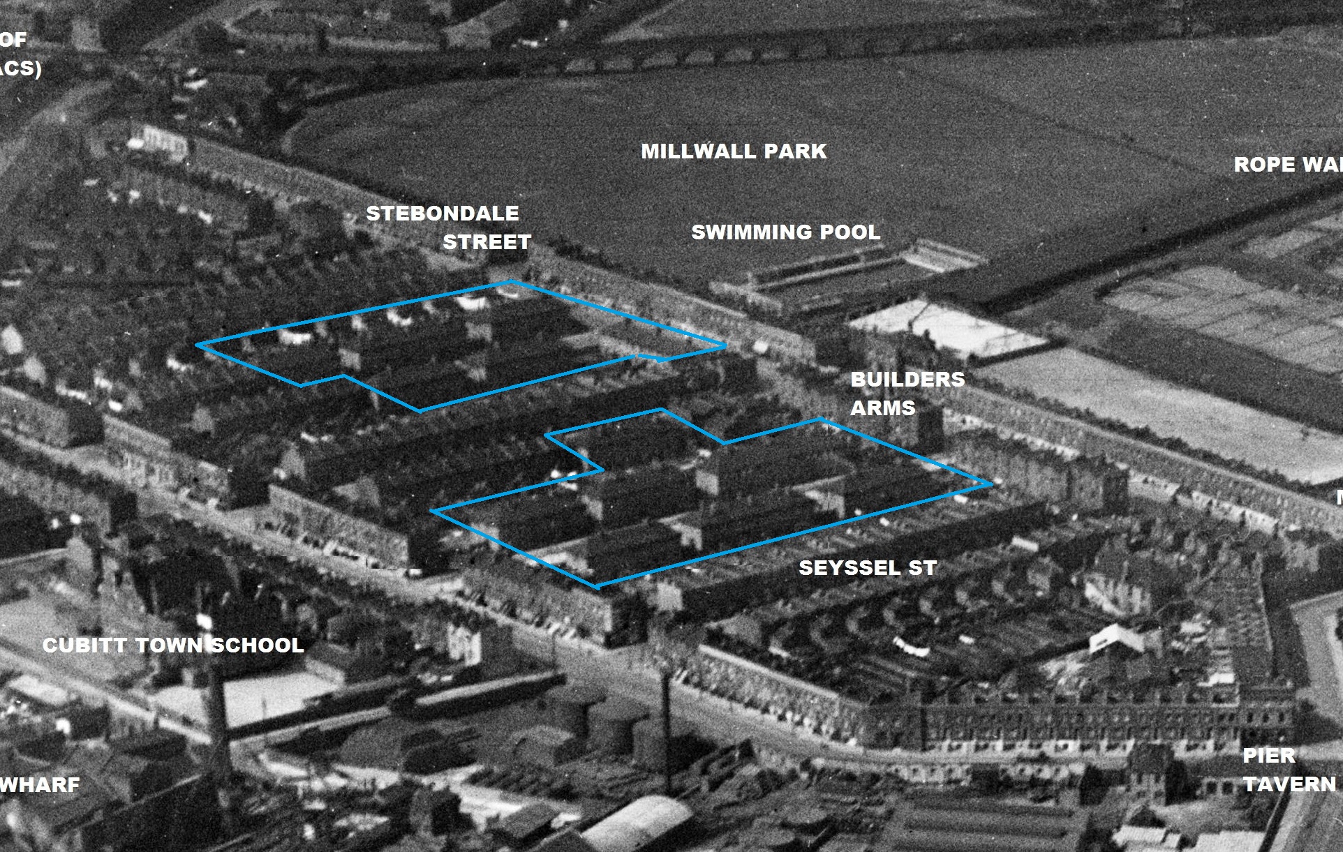
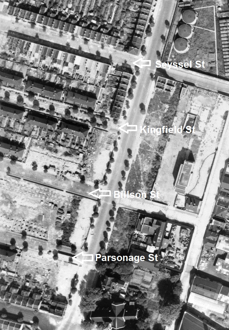
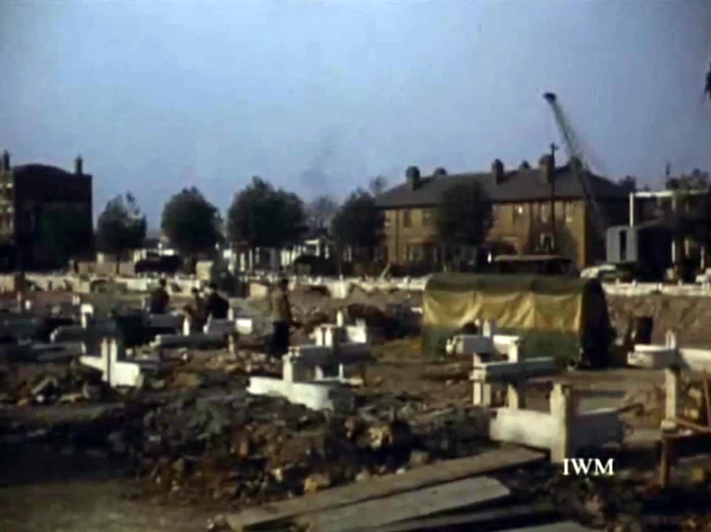
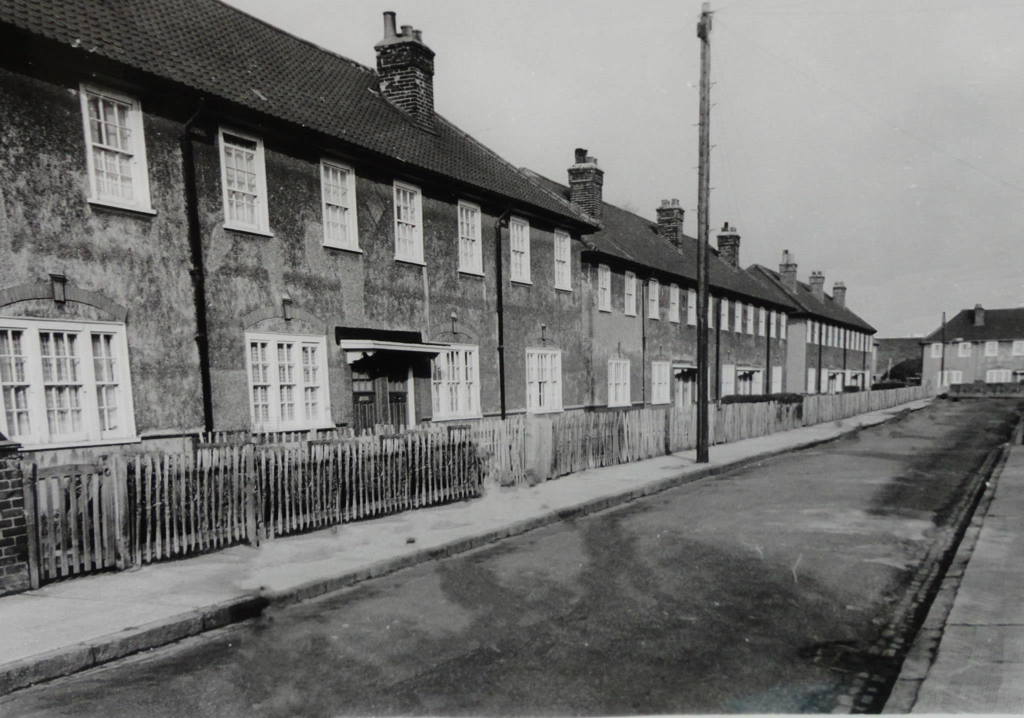
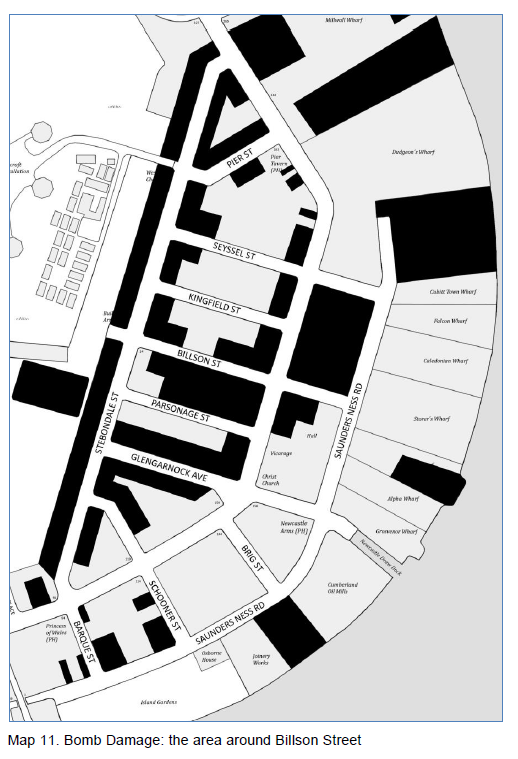
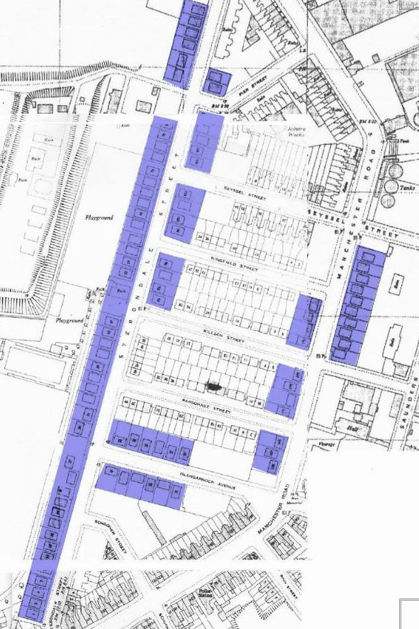
One statistic makes clear the extent of the damage during WWII: 75% of the houses that were present in Cubitt Town at the start of the war were either destroyed or considered unfit for habitation by the end of the war. The following map and photo show the areas around Billson Street which were in some way damaged (to varying degrees):
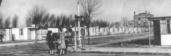
As a temporary measure, the post-war housing problem was partially solved by the construction of Orlit houses and prefabs. The following map (a bit vague, sorry), shows the prefabs built in Cubitt Town South (from the article, Island Prefabs):
Prefabs

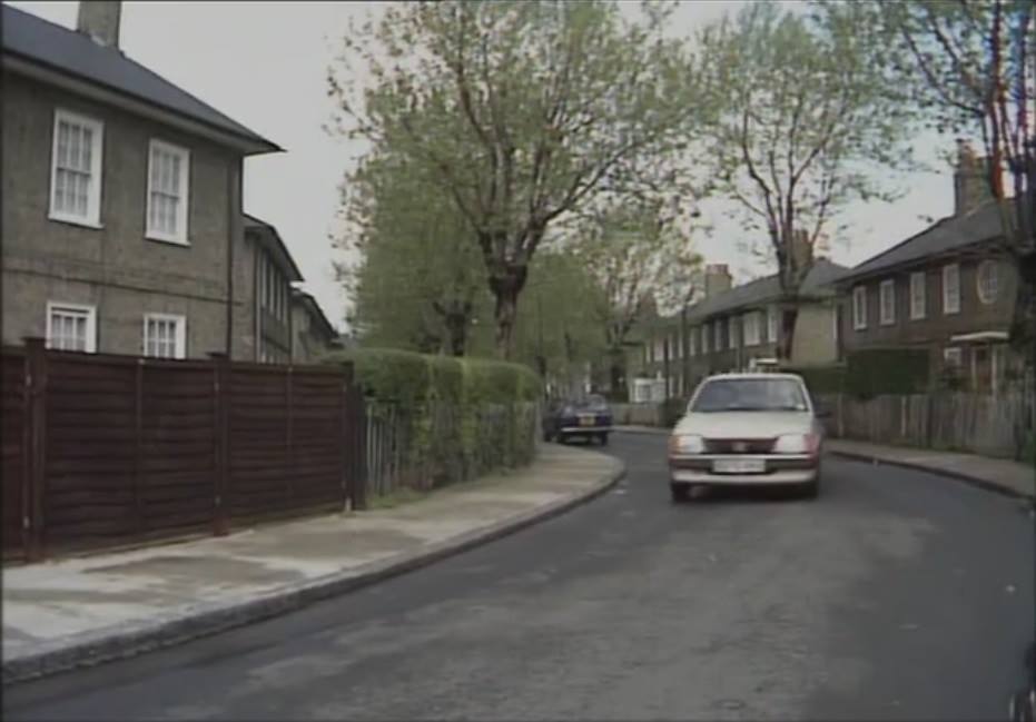
Prefabs in Stebondale St, photo taken from corner with Glengarnock Ave.
Being detached bungalows, prefabs were not an efficient use of space, and by the end of the war the council was investigating how to quickly and cheaply build two-storey, terraced houses. Messrs Orlit Ltd of Buckingham Gate proposed prefabricated houses constructed with precast reinforced concrete (PRC), designed by the Czech architect Ervin Katona who had immigrated to England in 1938.
In 1945, German and Italian prisoners of war were drafted in to clear the sites, and construction commenced in November. In the following image, a still from an Imperial War Museum film, 3 ft foundations have been prepared for the houses on Parsonage St. and Billson St. In the background on the left is the Builder’s Arms pub which backed on to Millwall Park on Stebondale St.

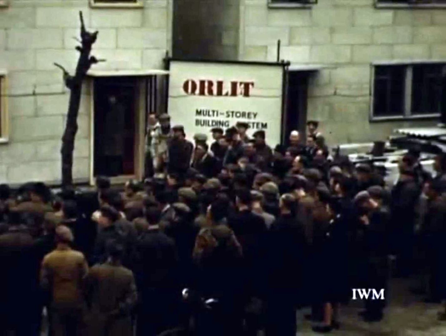
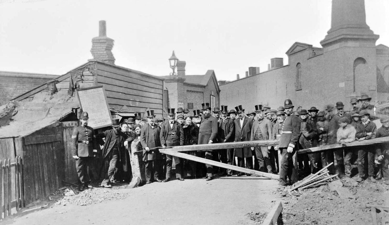
In February 1946, after a construction lasting just 3 months, the first semi-detached pair of homes was officially opened in Billson St by Alderman C. W. Key, MP for Bow and Bromley, and Parliamentary Secretary to the Ministry of Health.

Official Orlit opening (Billson St)
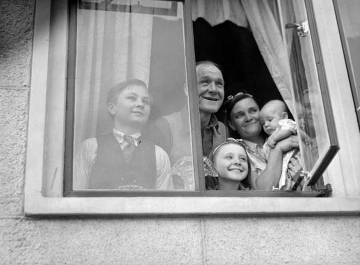
The first proud family were Ann and John Atheis and their children who moved into number 16. They were undoubtedly happy with their three bedroom home with living-room, kitchen, bathroom and WC. Cookers and wash-boilers were provided, the costs of which were added to the rent.
Atheis Family
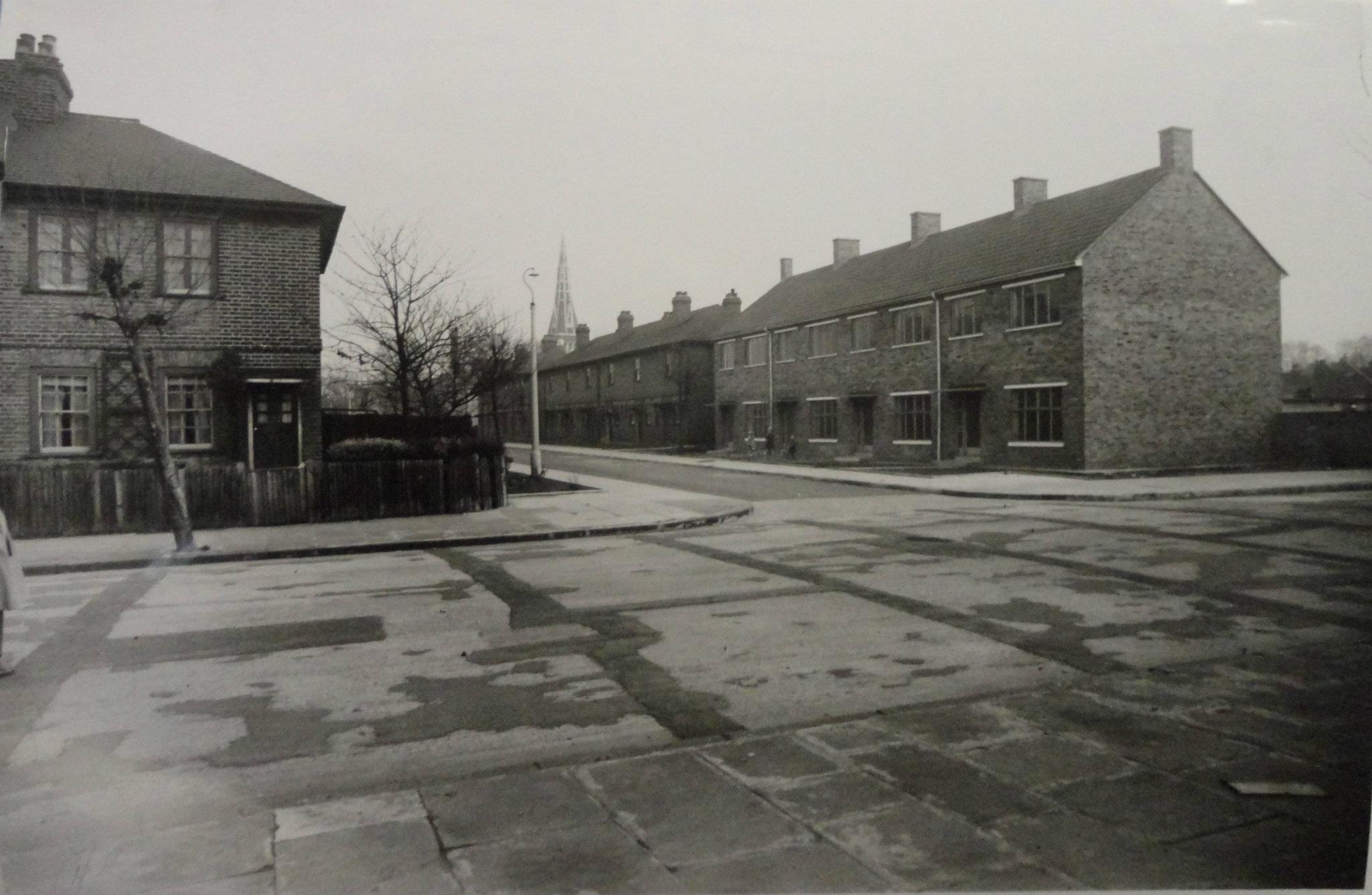
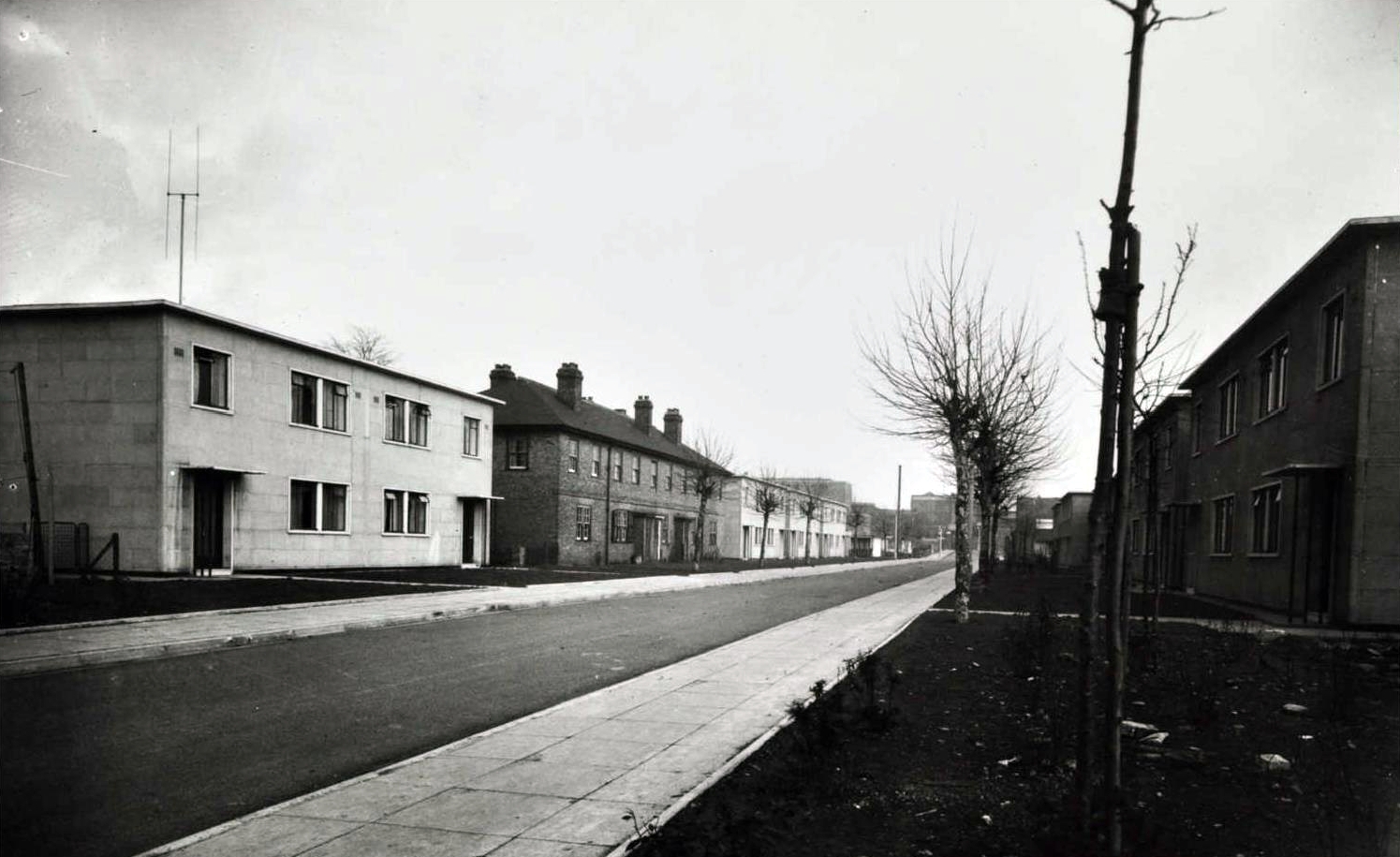
Billson St, 1949. Photo: London Metropolitan Archives (City of London)
For a detailed history of Island Orlits, see: Home Sweet, Defective Home.
1945 Plans are announced to unite the three parishes of Christ Church, St John and St Luke, with Christ Church as the parish church. Father Kingdon of St. John’s was not happy about it, and registered his protest.
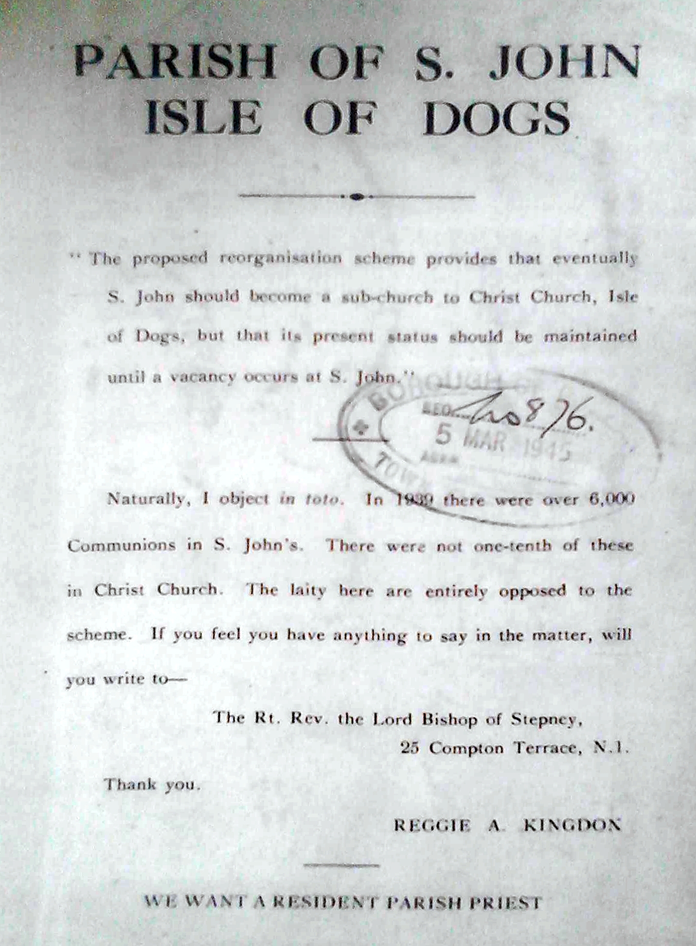
Protest letter, Rev, Kingdon
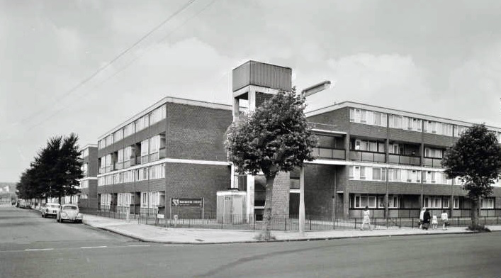
1962 Opening of Betty May Gray House. Mrs Gray, who had no connection with the Society, or indeed with East London, had died in 1933, leaving the residue of her estate to be devoted ‘to the furtherance of practical measures of slum clearance’. The Isle of Dogs Housing Society managed to secure some of this money and built the block on land occupied by a couple of prefabs, a few bomb-damaged buildings and a debris.
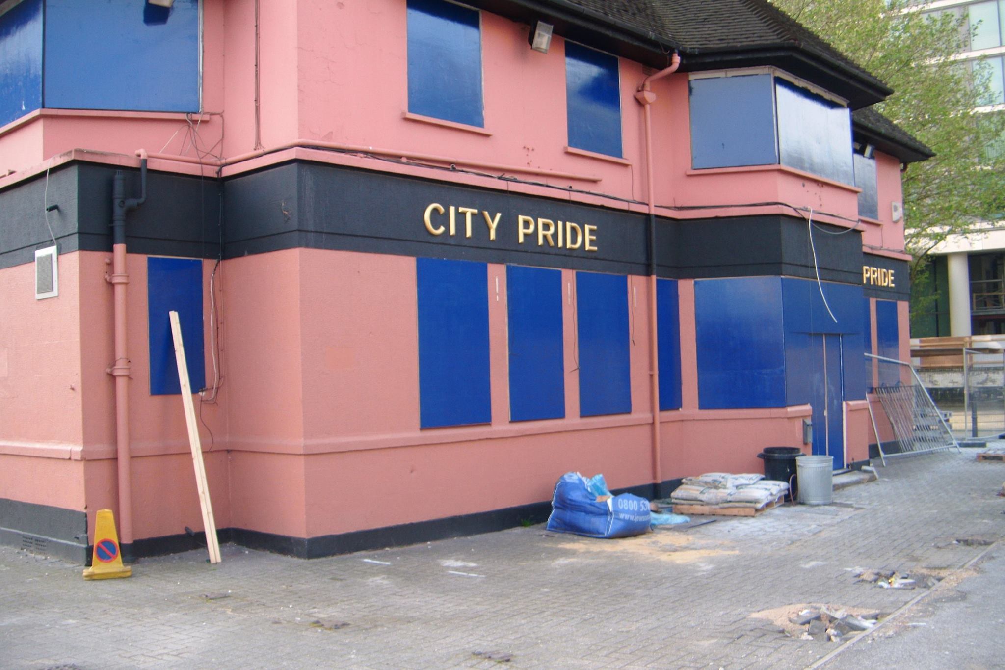
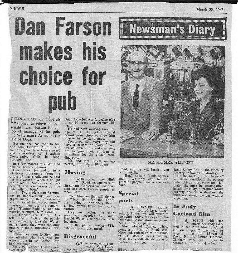
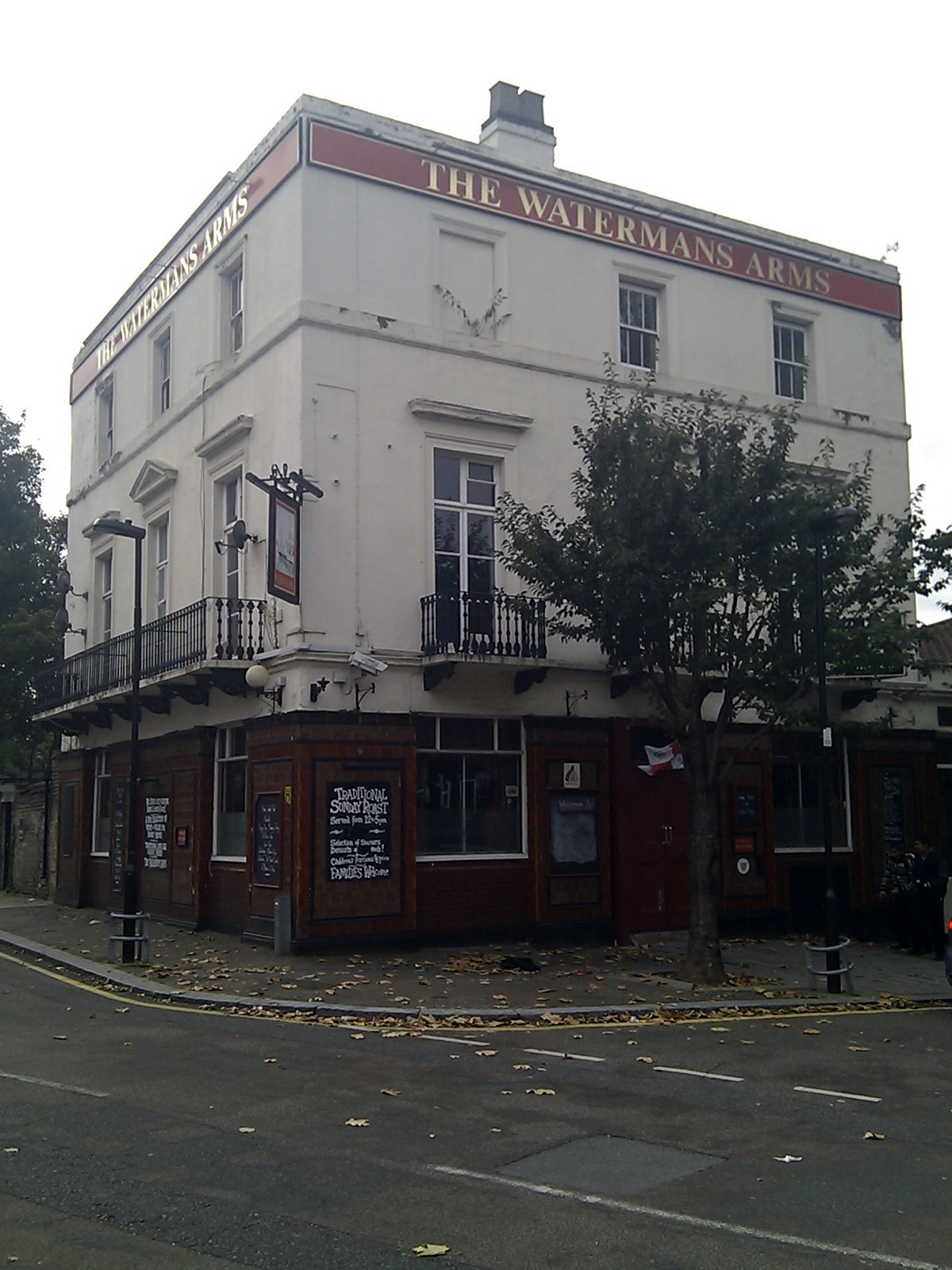
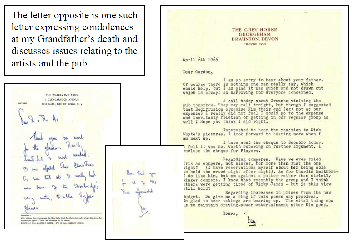
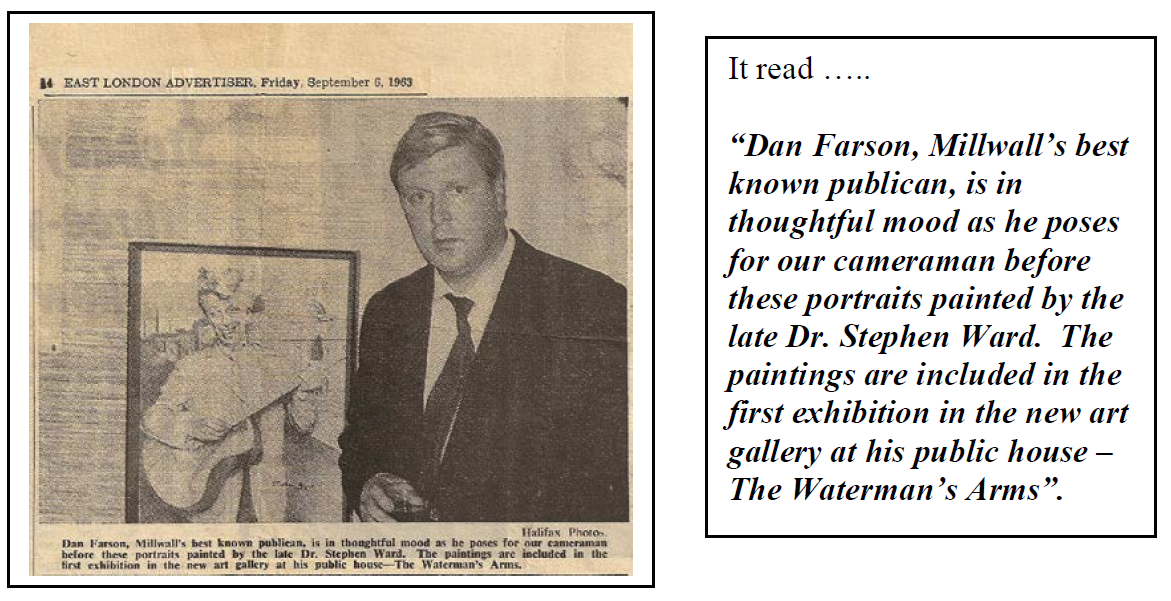
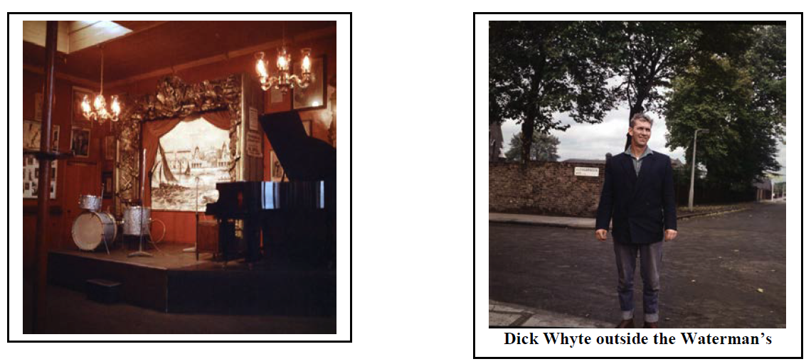
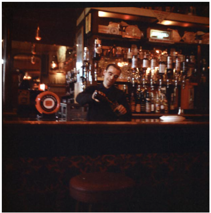
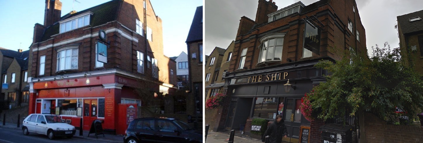
In the same year, writer and broadcaster Dan Farson becomes the landlord of the Newcastle Arms, renaming it the Waterman’s Arms.
Farson (1927-1997) was the son of American journalist James Negley Farson (prior to WWII, Dan had accompanied his father on an assignment to Germany and was patted on the head by Adolf Hitler, who thought he looked like a ‘good Aryan boy’). In his 1997 obituary by the Independent newspaper, the opening paragraph summed him up as, “Mythomaniacal, egotistical, and often unable to tell the truth or the difference between it and fiction – the character of Daniel Farson – photographer, writer, and drunk .”
He was inspired to run his own pub, and create within it an old style music hall atmosphere, after making a documentary for Rediffusion about East End pub entertainment, at a time when he was living 92 Narrow St in Limehouse. He was fascinated by the local characters and pub culture (in addition to the sexual possibilities offered by visiting sailors).
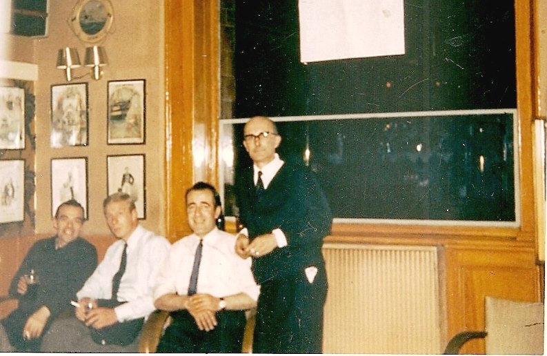
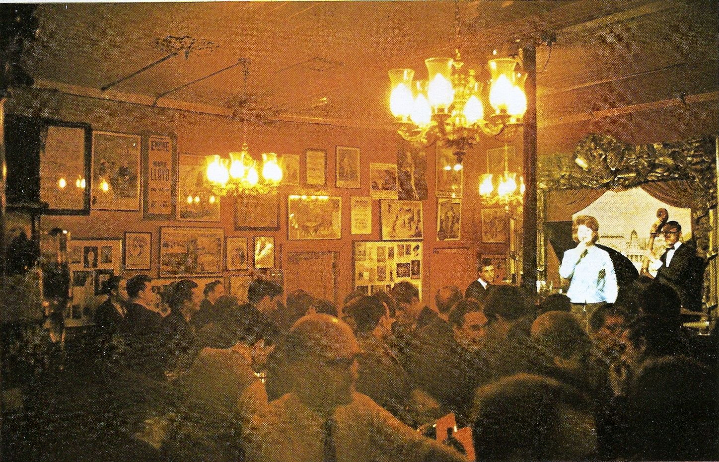
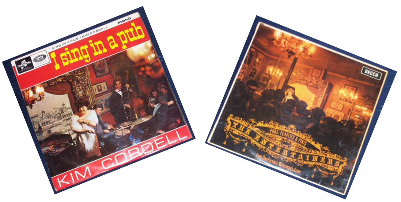
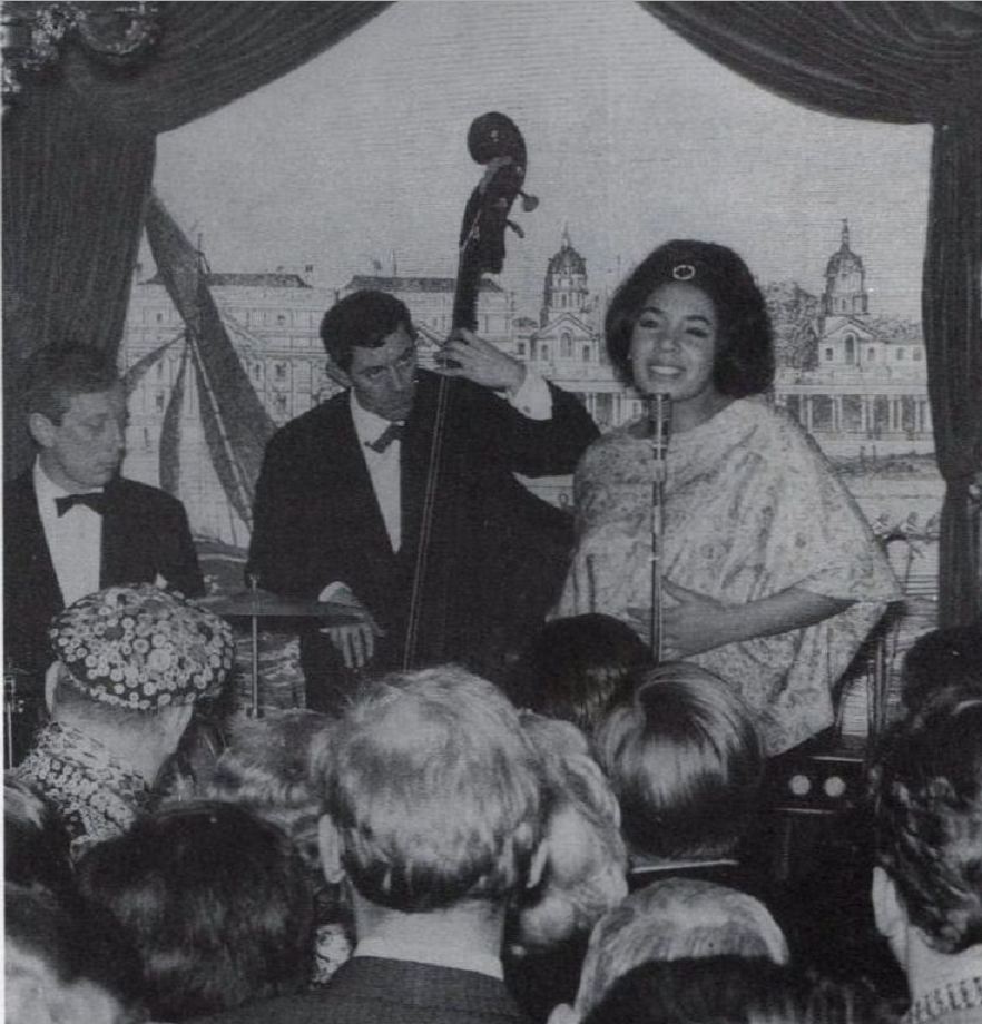
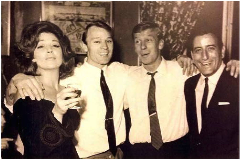
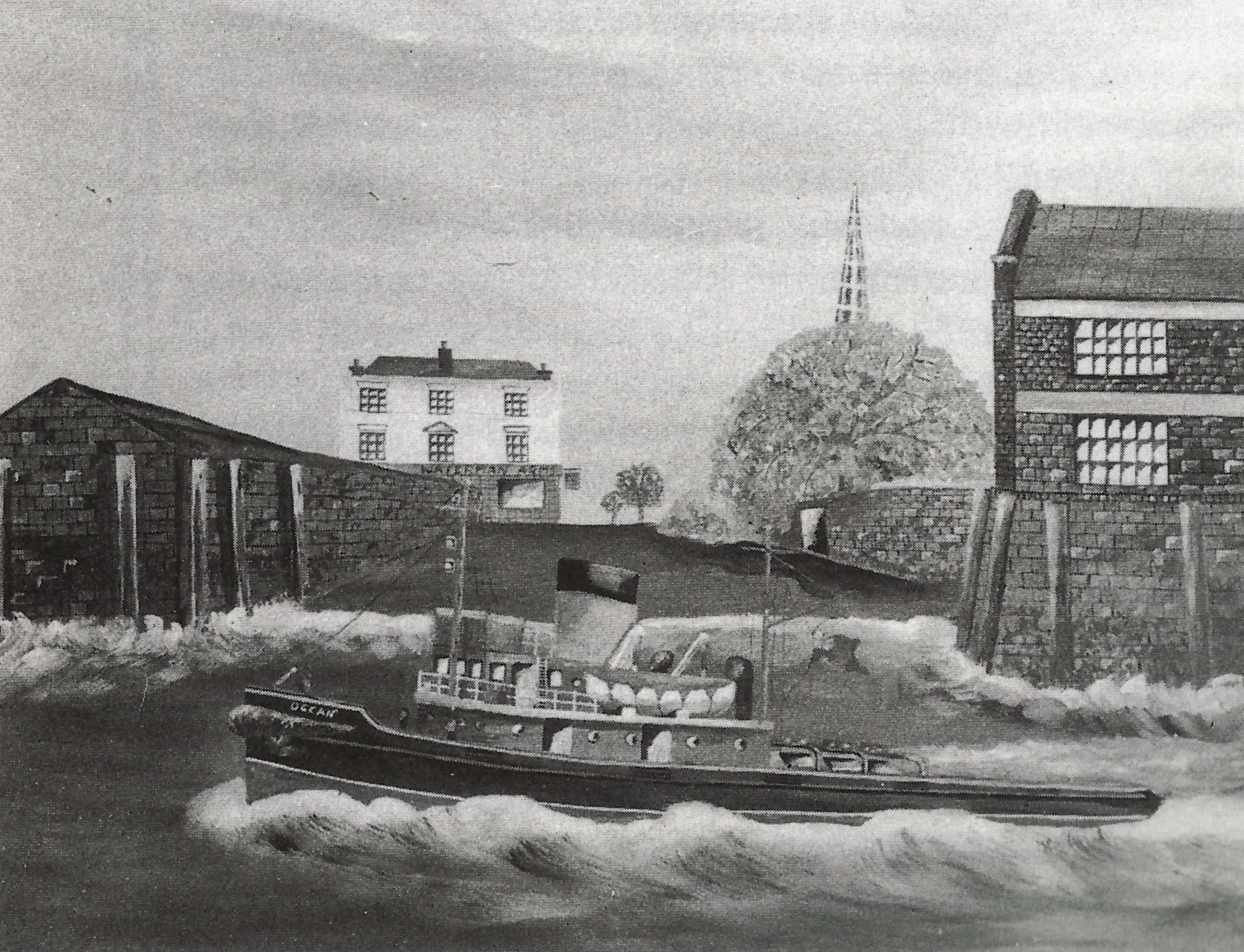
After a major revamp, including creation of a plushly-decorated stage with a painted backdrop showing the Royal Naval College in Greenwich as viewed from Island Gardens a couple of hundred yards up Saunders Ness Rd, the Waterman’s Arms was ready to do business. It was a hit from the start – with well-known performers appearing on stage, and the rich and famous making their way along Manchester Rd to see and be seen. Locals at the time recalled seeing Clint Eastwood, Francis Bacon (a good friend of Farson’s), Brian Epstein, journalist Nancy Spain, Judy Garland, Shirley Bassey, and many others. For the full story, see Waterman’s Arms.
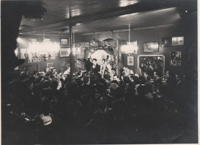
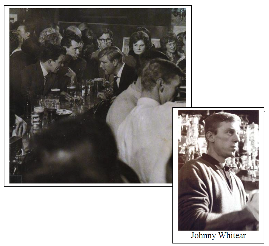
Roger Mitchell (sometimes known as Henry Champion at that time) performing on stage with the resident band, possibly the John Gale Trio. Photo courtesy of Roger Mitchell.
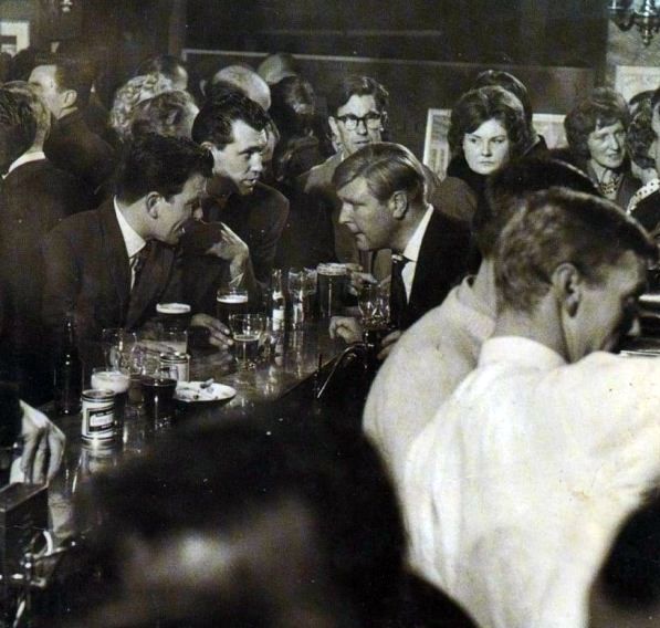
Dan Farson behind the bar.
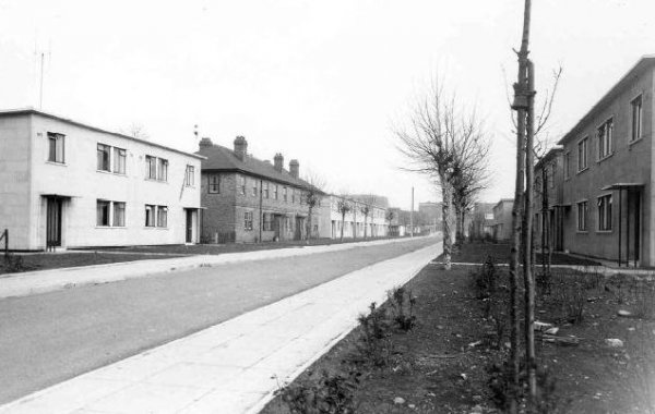
Also that year, the Manchester Estate between Pier St, Manchester Rd and Seyssel St was built.
Manchester Estate shortly after opening. Photo: London Metropolitan Archives (City of London)
1963 Completion of the first part of the Schooner Estate, consisting of Galleon House, Capstan House and Nos 19–41 (odd) Glengarnock Avenue/Nos 139–149 (odd) Manchester Road.
Clearance of last-remaining houses (after WWII) to make room for the Schooner Estate. If you were to take a photo from the same place today, you would be standing outside the main entrance of George Green’s School and looking at the side of Galleon House. In the background of the old photo are houses and prefabs in Stebondale St.
Queenie Watts in Schooner St (renamed from Ship St in the 30s), with Galleon House being built in the background.
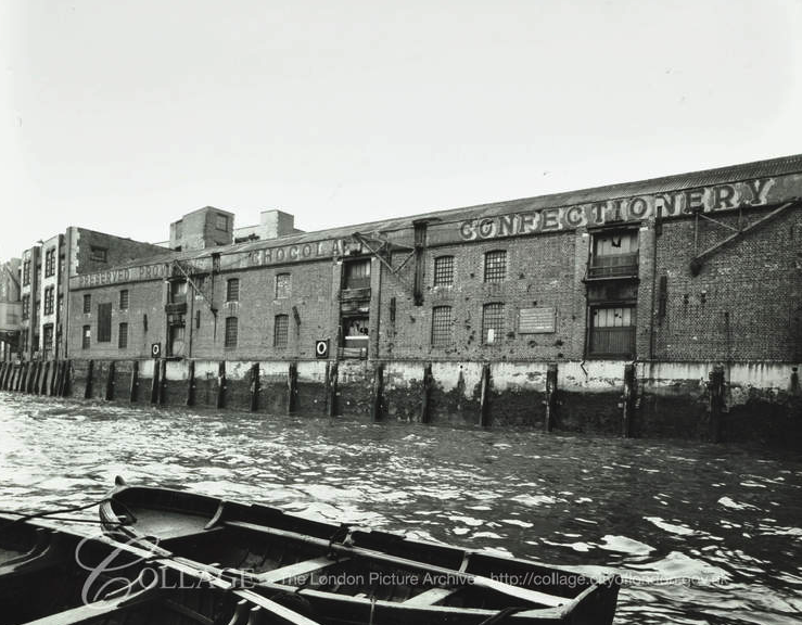
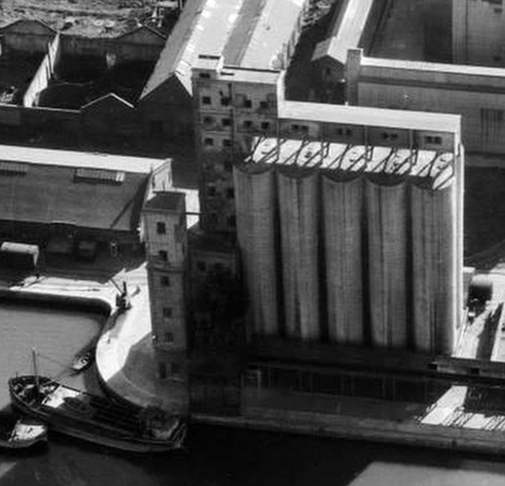
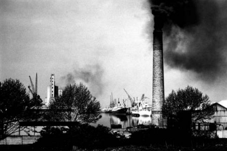
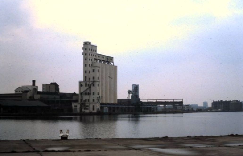
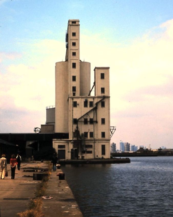
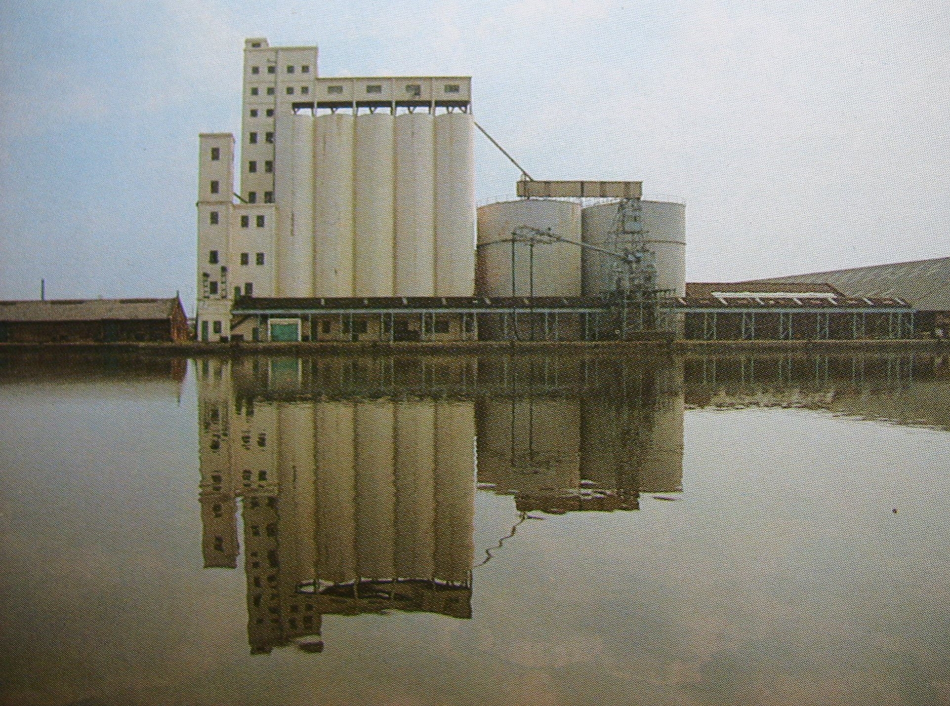
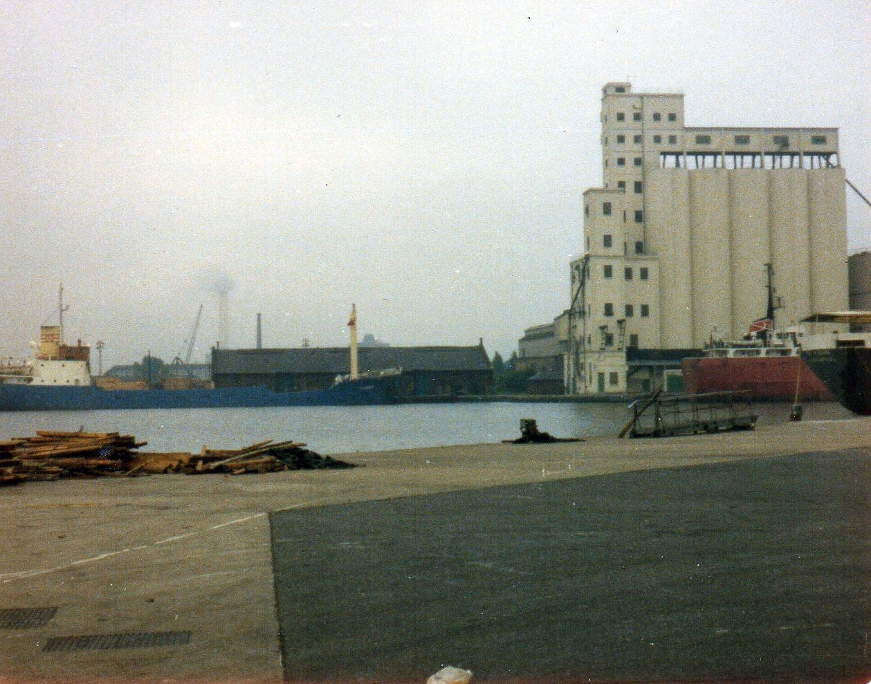
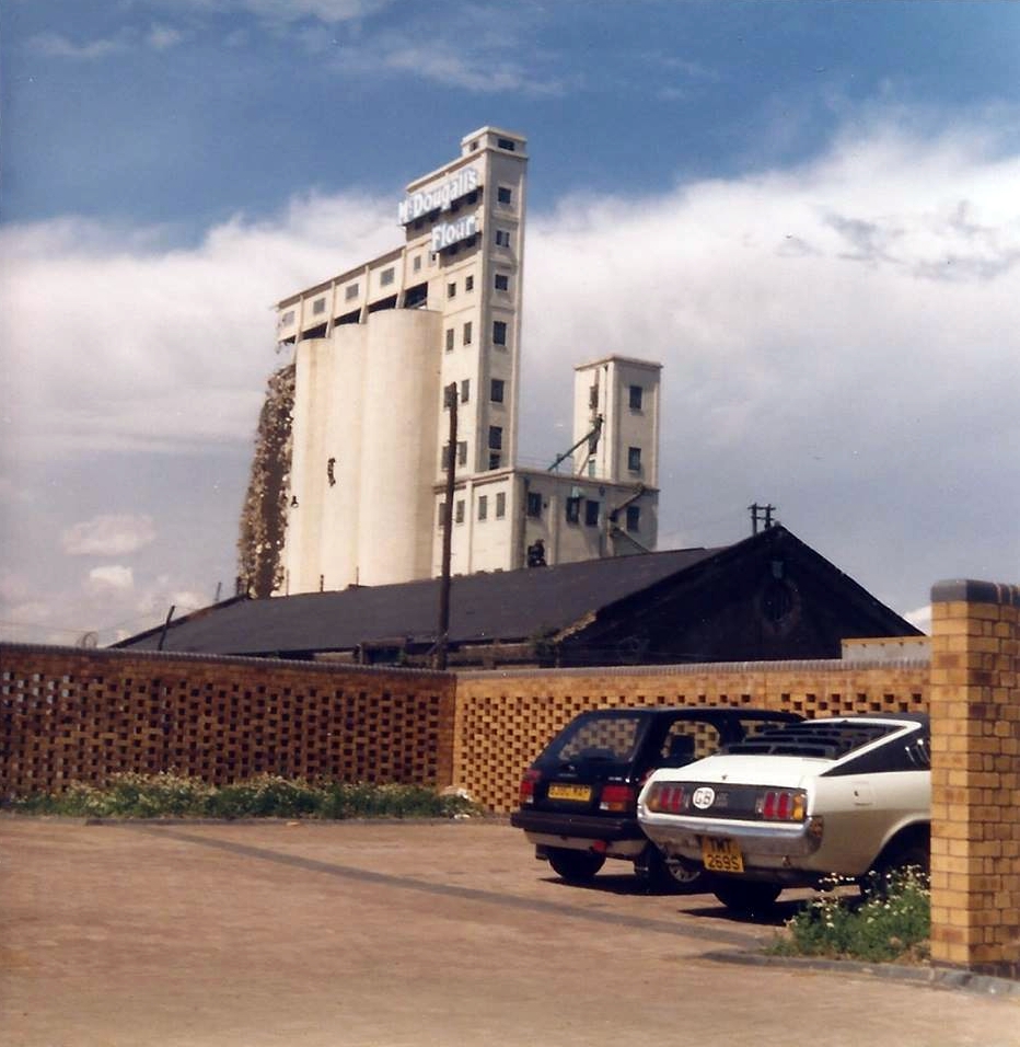
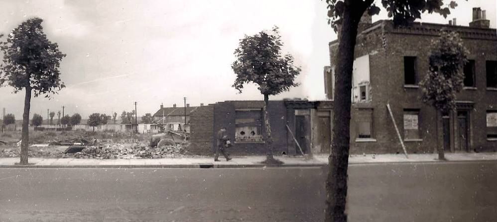
1964 The former Cumberland Oil Mills premises close.
1965 The congregations of St John’s and Christ Church are combined and Christ Church is rededicated as the Church of Christ and St John.
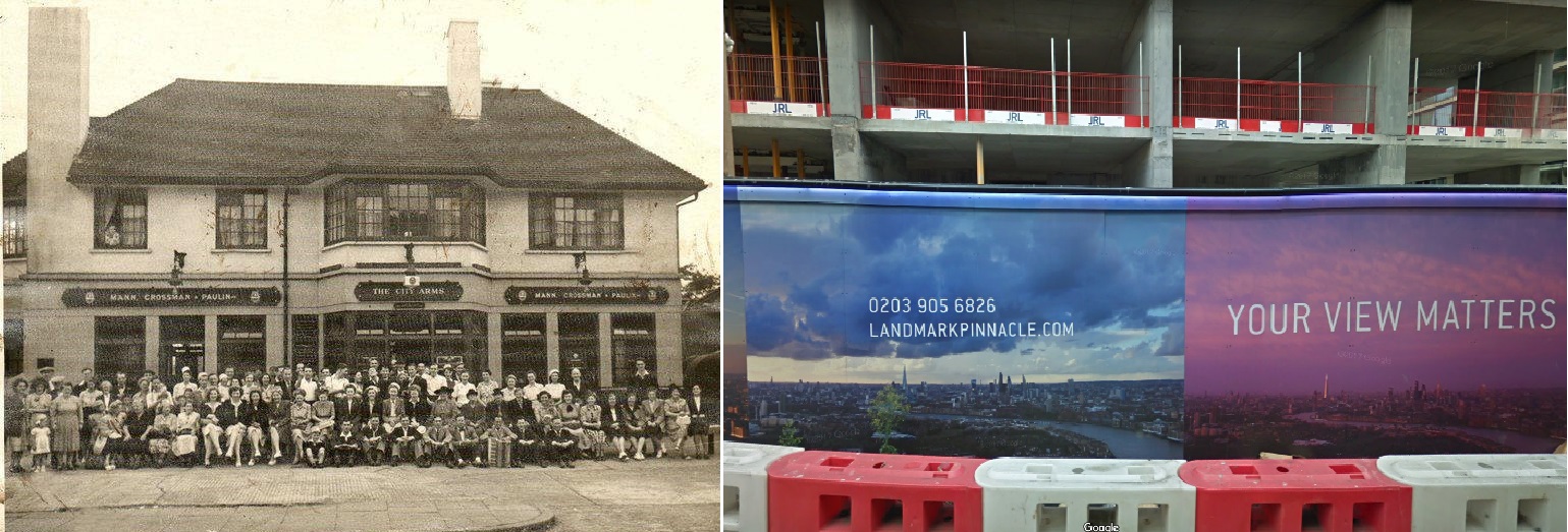
The site of the Builder’s Arms is acquired by the LCC, and incorporated into Millwall Park.
Completion of the last part of the Schooner Estate, consisting of Carvel, Clipper and Frigate Houses.
Schooner Estate shortly after opening.
1966 Demolition of the Christ Church church hall and Billson Street buildings, which were damaged during WWII.
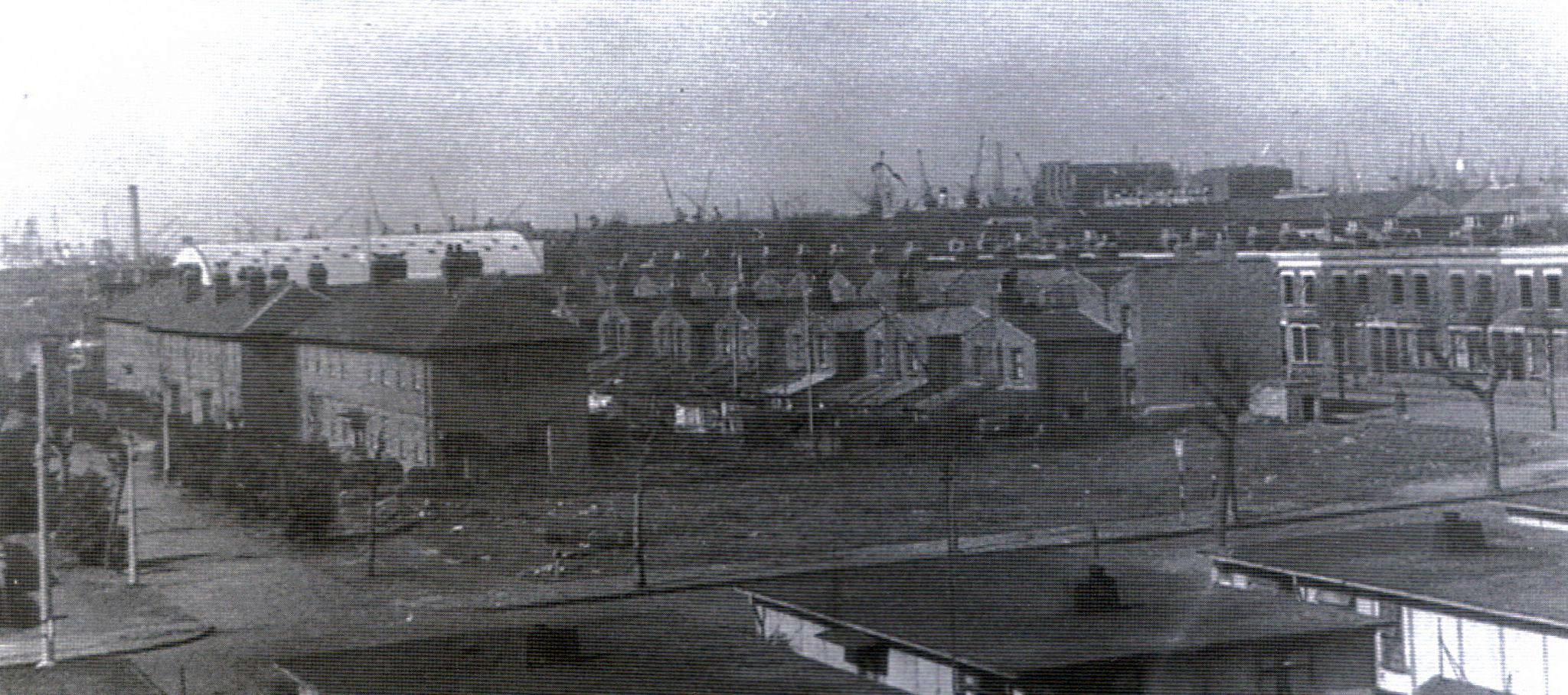
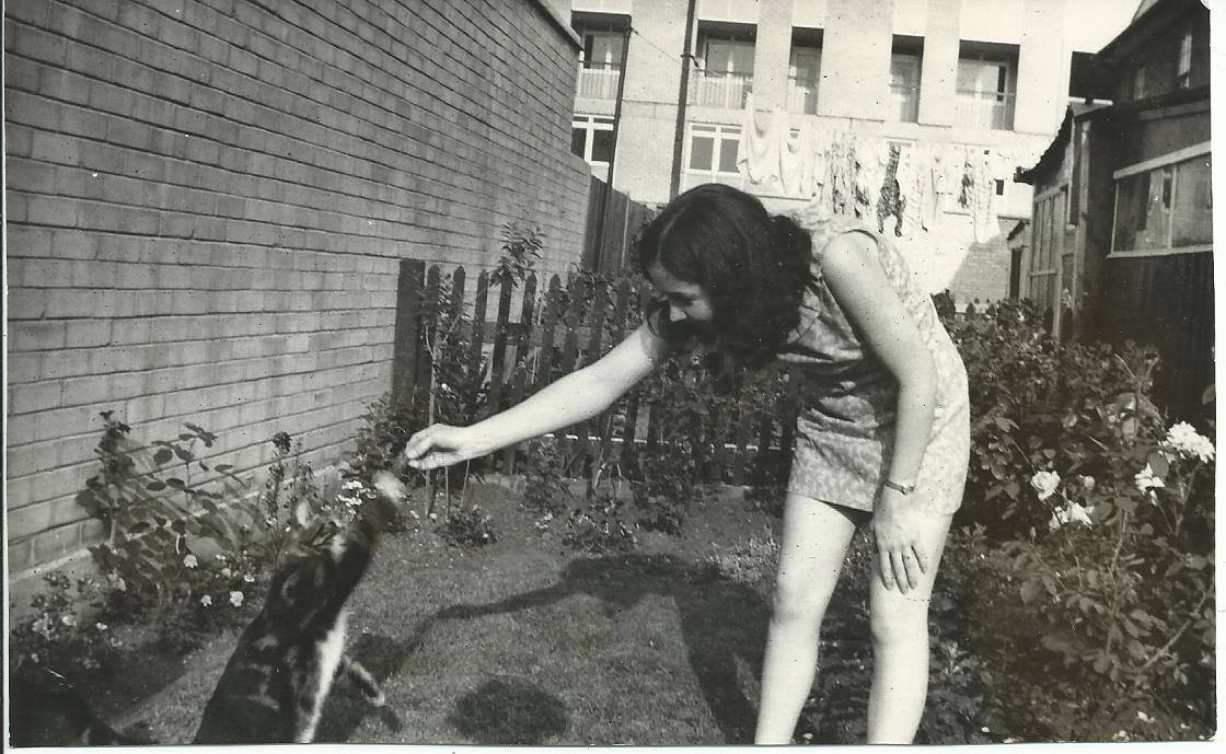
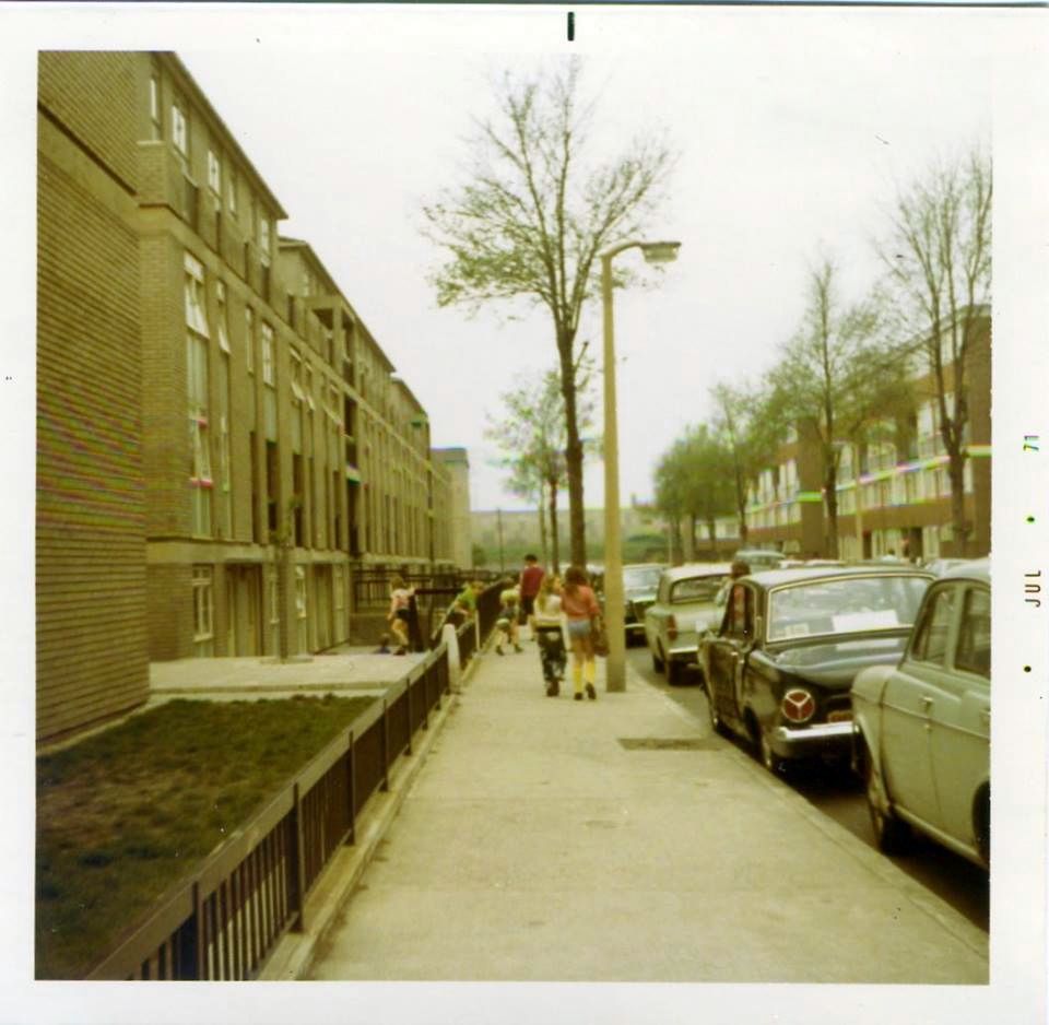
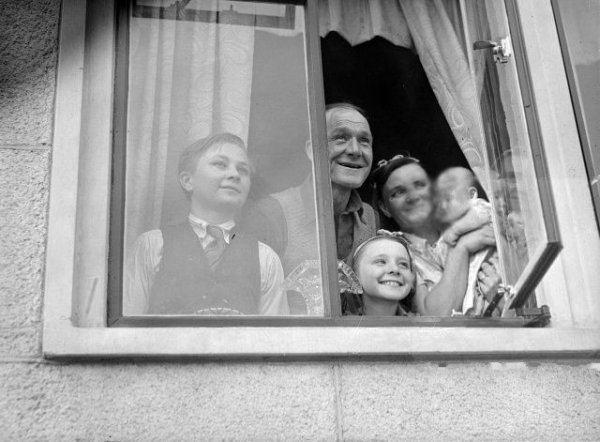
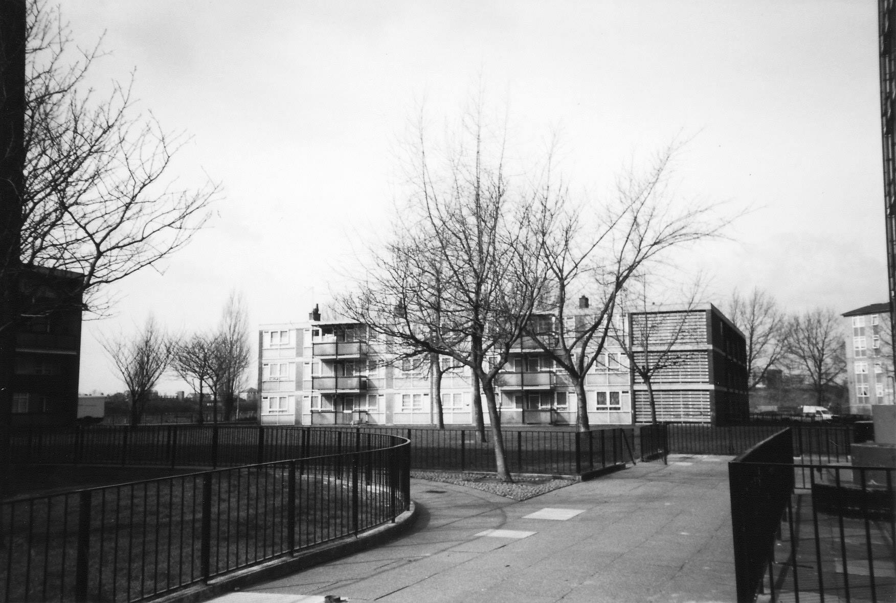
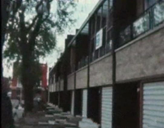
1966. The view from Galleon House, with a view of the clearance of prefabs to make room for the construction of the estate to which our family would move a couple of years later.

My flats not long after opening. Photo: London Metropolitan Archives (City of London)
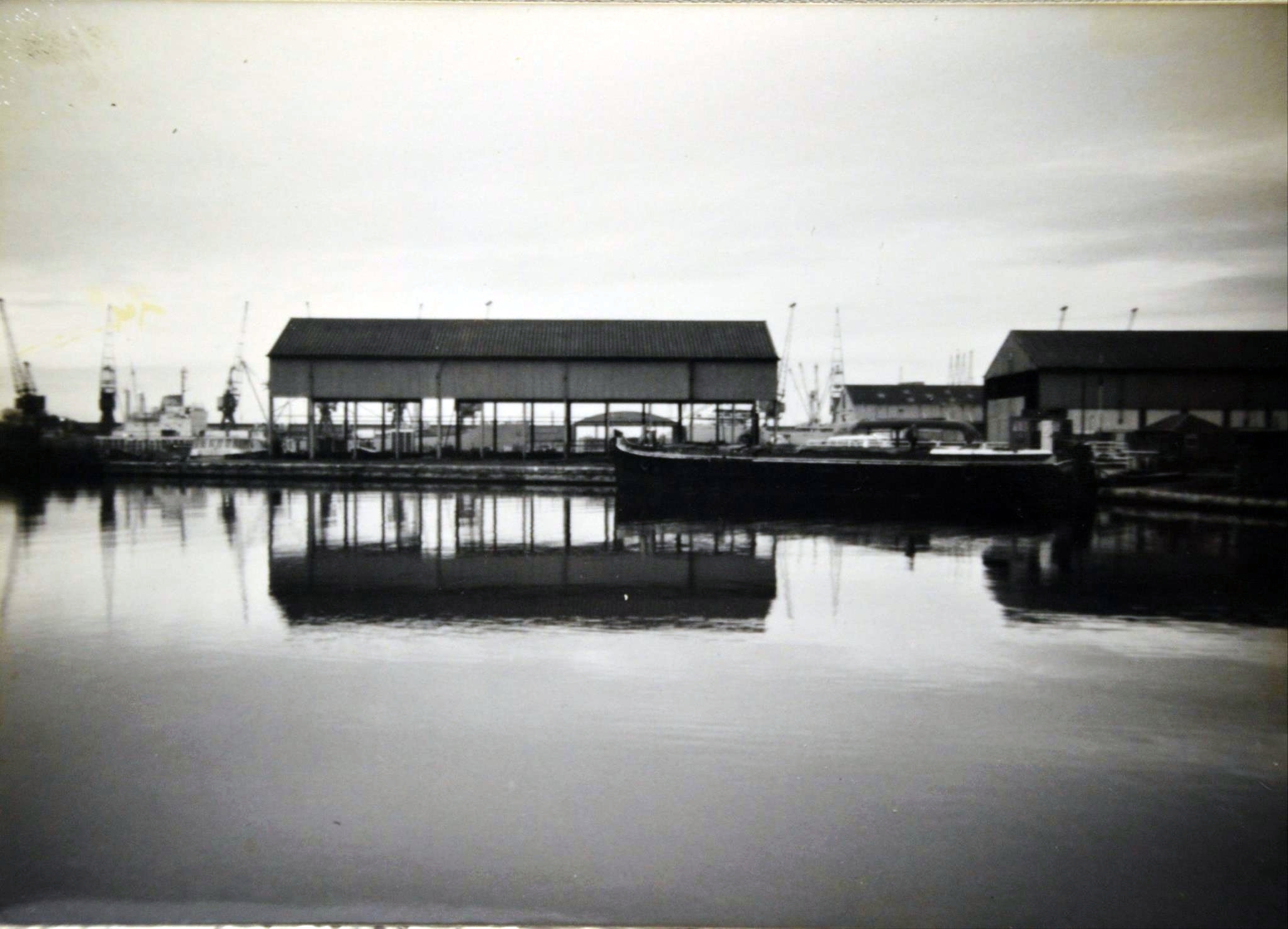
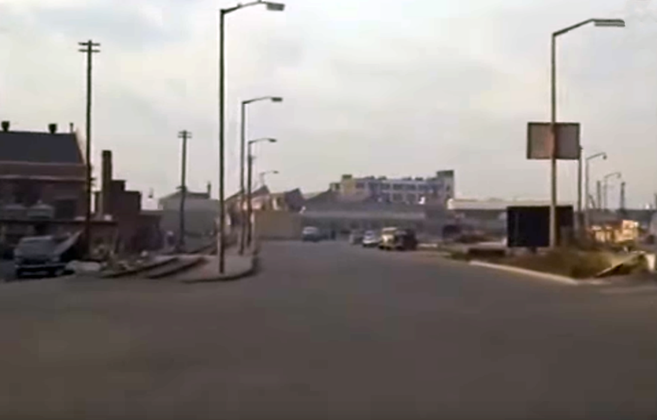
1969 A boathouse for the Poplar, Blackwall & District Rowing Club is built on Calder’s Wharf. The club had been using a former North Greenwich station shed as premises.
Construction of the rowing club.
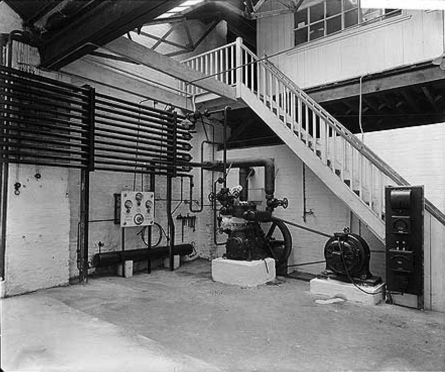
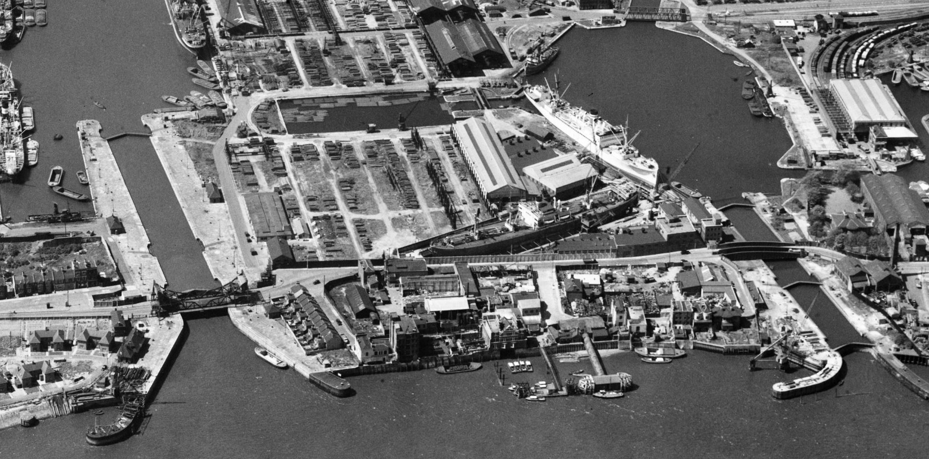
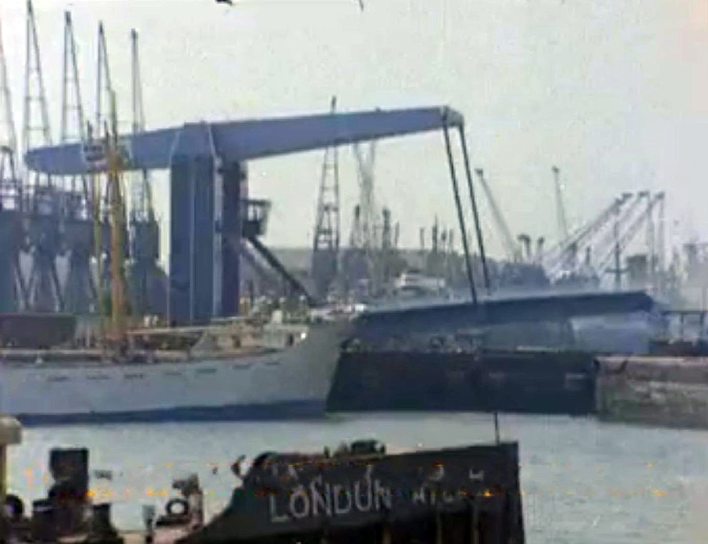
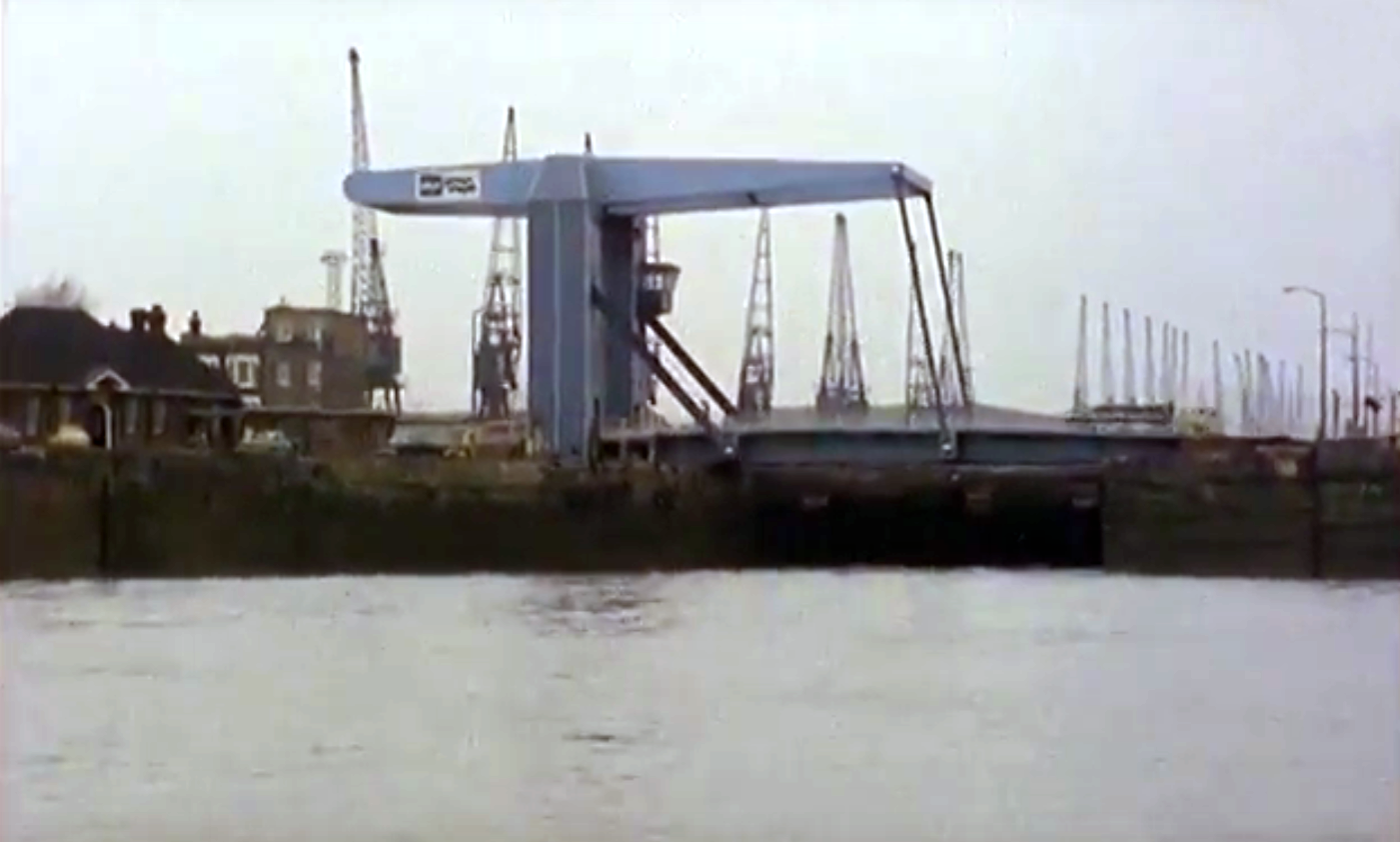
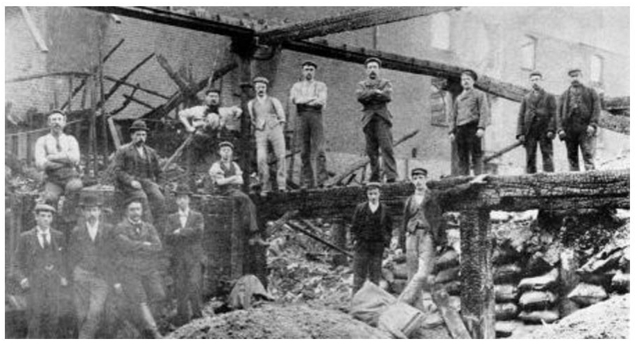
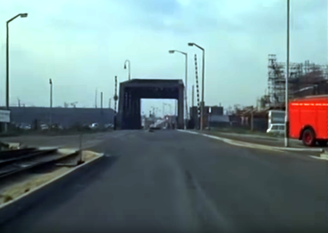
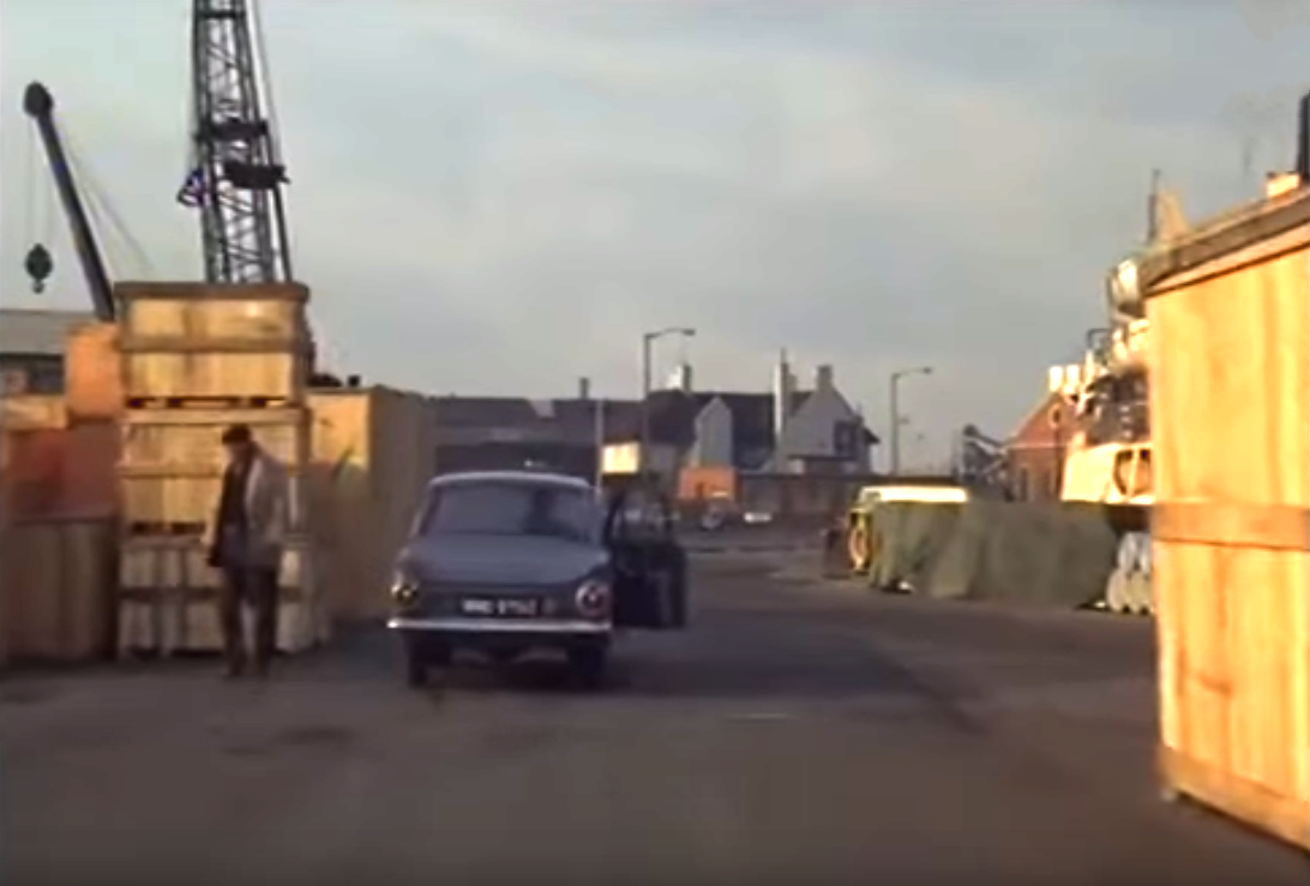
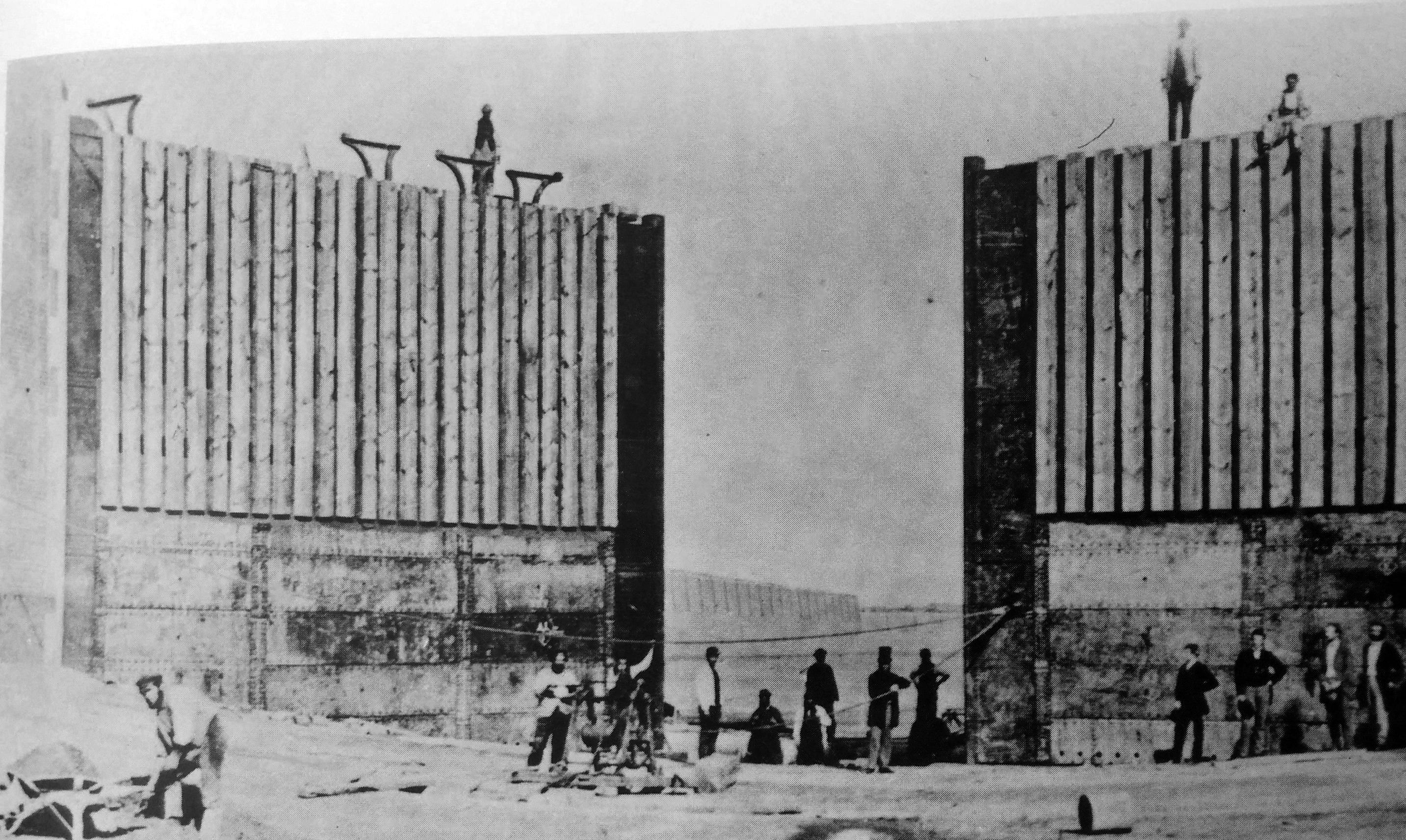
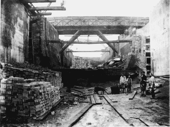
July. Five firemen and a demolition worker are killed, and five more firemen seriously injured, after an explosion in oil storage tanks at Dudgeon’s Wharf. The tanks were being demolished when a fire broke out. The fire was extinguished and the firemen were checking the site when the explosion occurred.
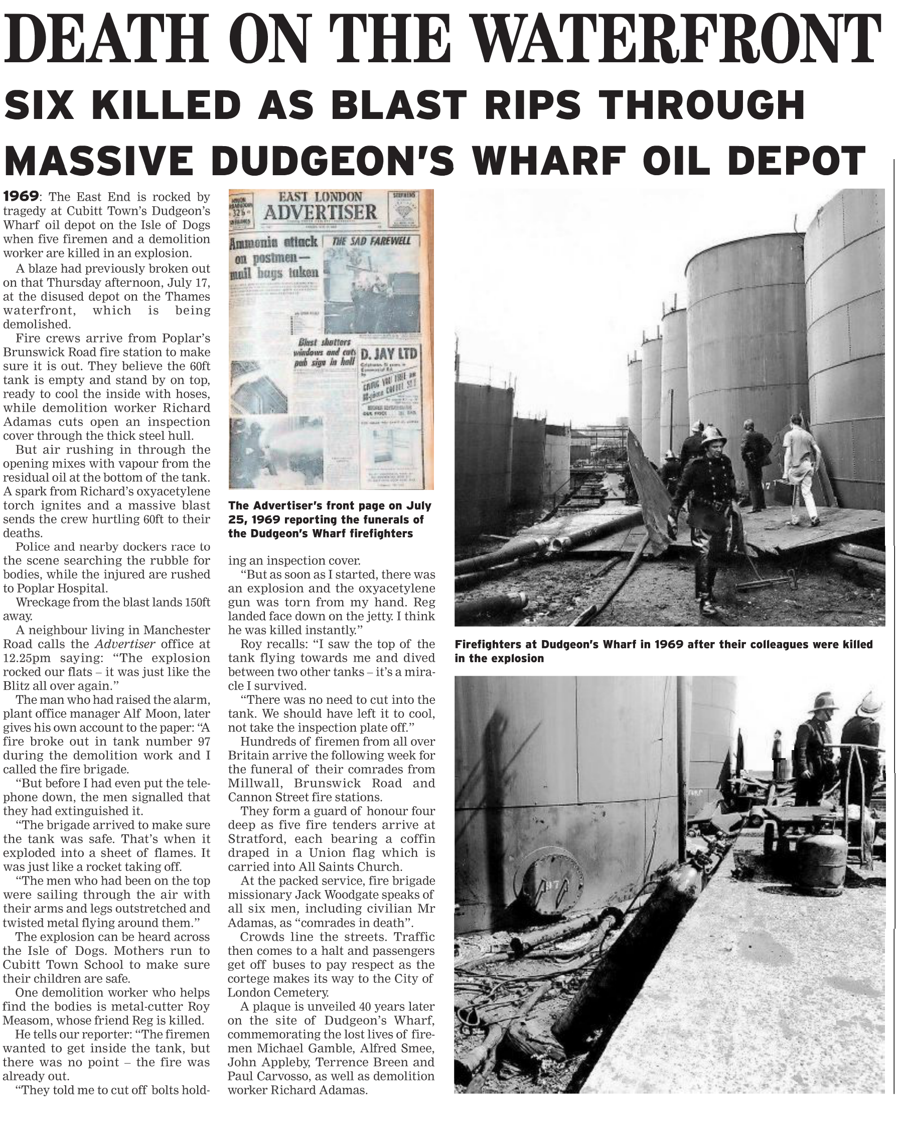
East London Advertiser
1971 The Globe Rope Works is closed and the buildings are demolished.
1972 Land to the east of the Christ Church, on Saunders Ness Rd, is sold for private housing.
Construction of what we called ‘the posh houses’ in Saunder’s Ness Road.
Cubitt Town School moves to the former Glengall Rd school premises. The former Cubitt Town school premises are occupied by St Luke’s Primary school, which transfers from West Ferry Rd.
Plans for a new mixed secondary school for 900 pupils, replacing the old George Green’s School in East India Dock Road, are approved by the Inner London Education Authority, thanks to protests and demands by Islanders in the years after their Unliteral Declaration of Independence (see “It Was All a Bit of a Joke”).
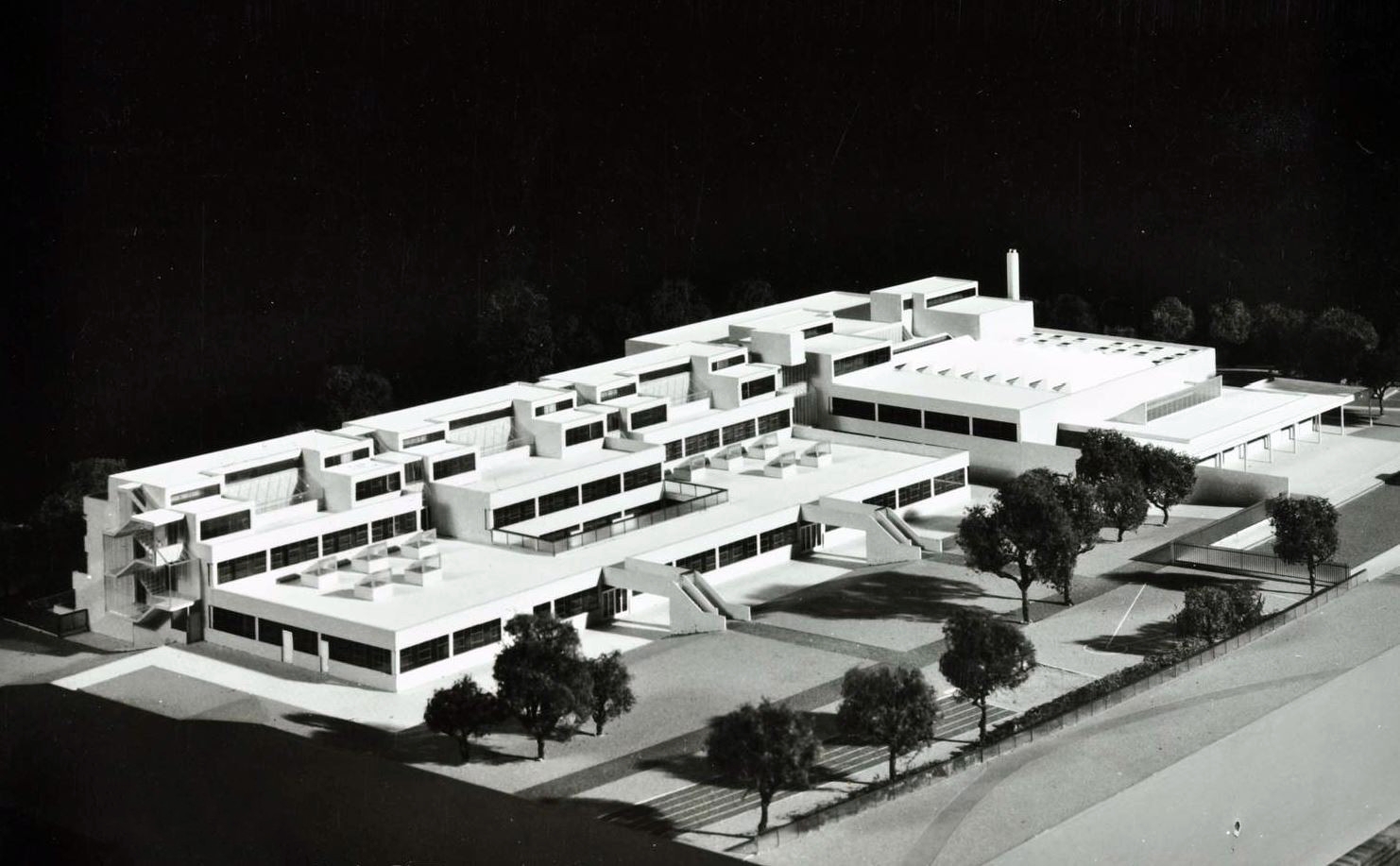
Architectural model of George Green’s School. Photo: London Metropolitan Archives (City of London)
Construction of George Green’s School meant the demolition of a large number of shops and houses along Manchester Rd and in the side streets, Brig St, Schooner St and Barque St.
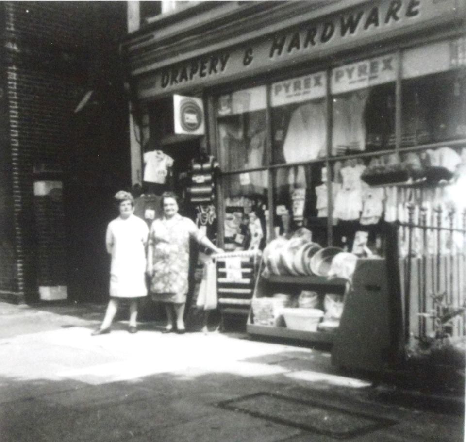
1960. Mrs Stewart’s shop. (Island History Trust)
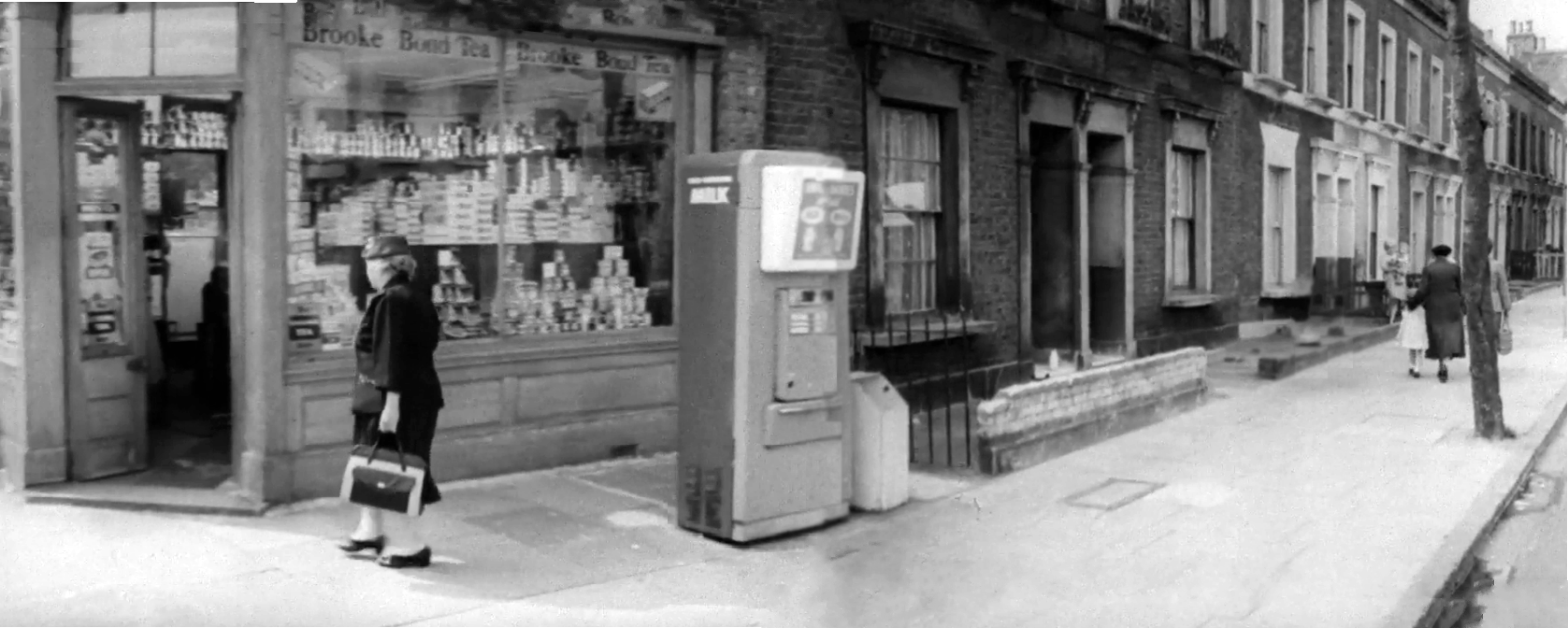
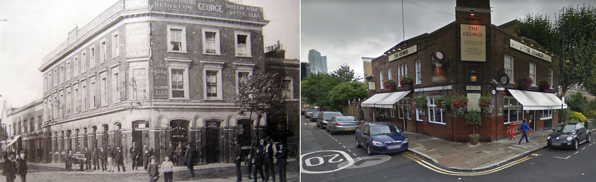
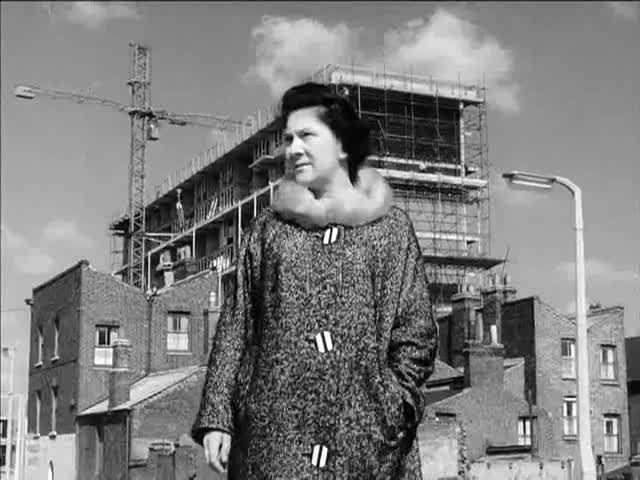
Suffragette and Labour activist Nellie Cresall entering the shop at 114 Manchester Rd. Screenshot from “Postscript to Empire”, 1962
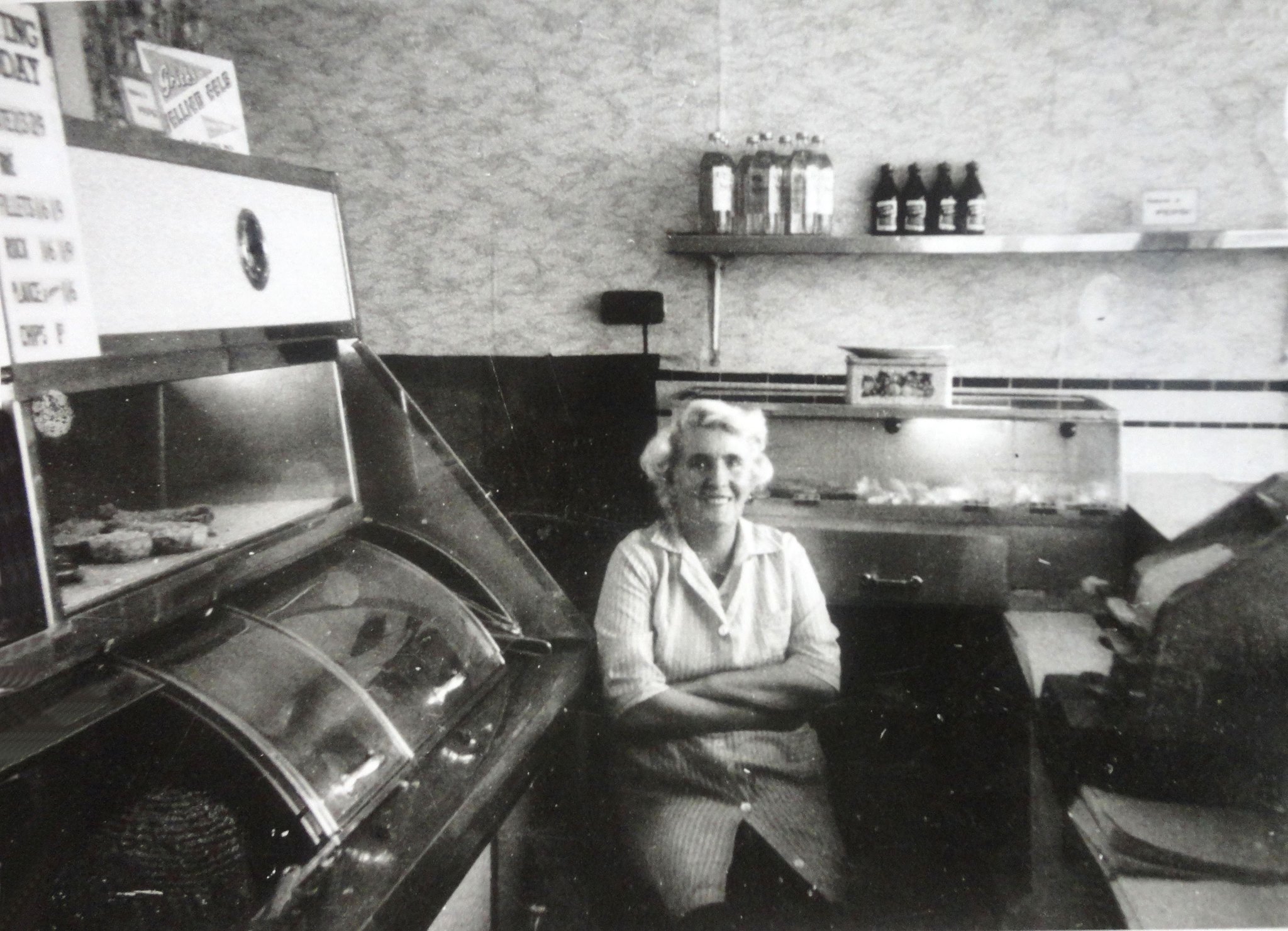
Manchester Rd – Tremain’s Chip Shop – 1960 Mrs Martin, courtesy Sue Law
1973 The Isle of Dogs Police Station at 126 Manchester Rd is demolished.
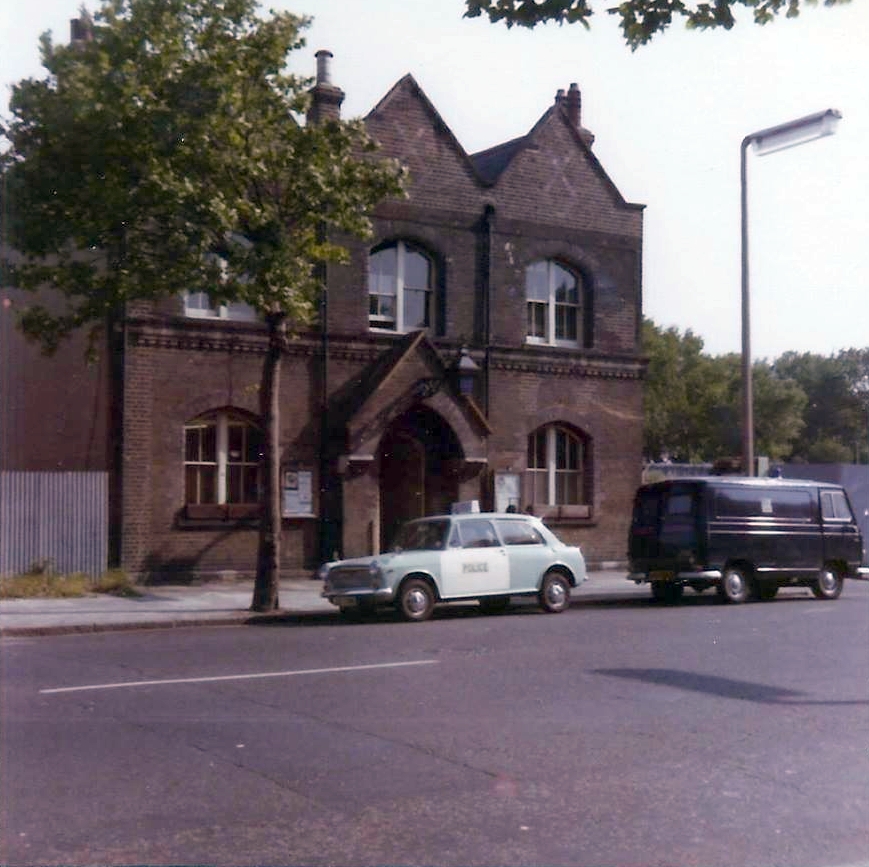
Manchester Road police station, shortly before demolition. Old Police Station
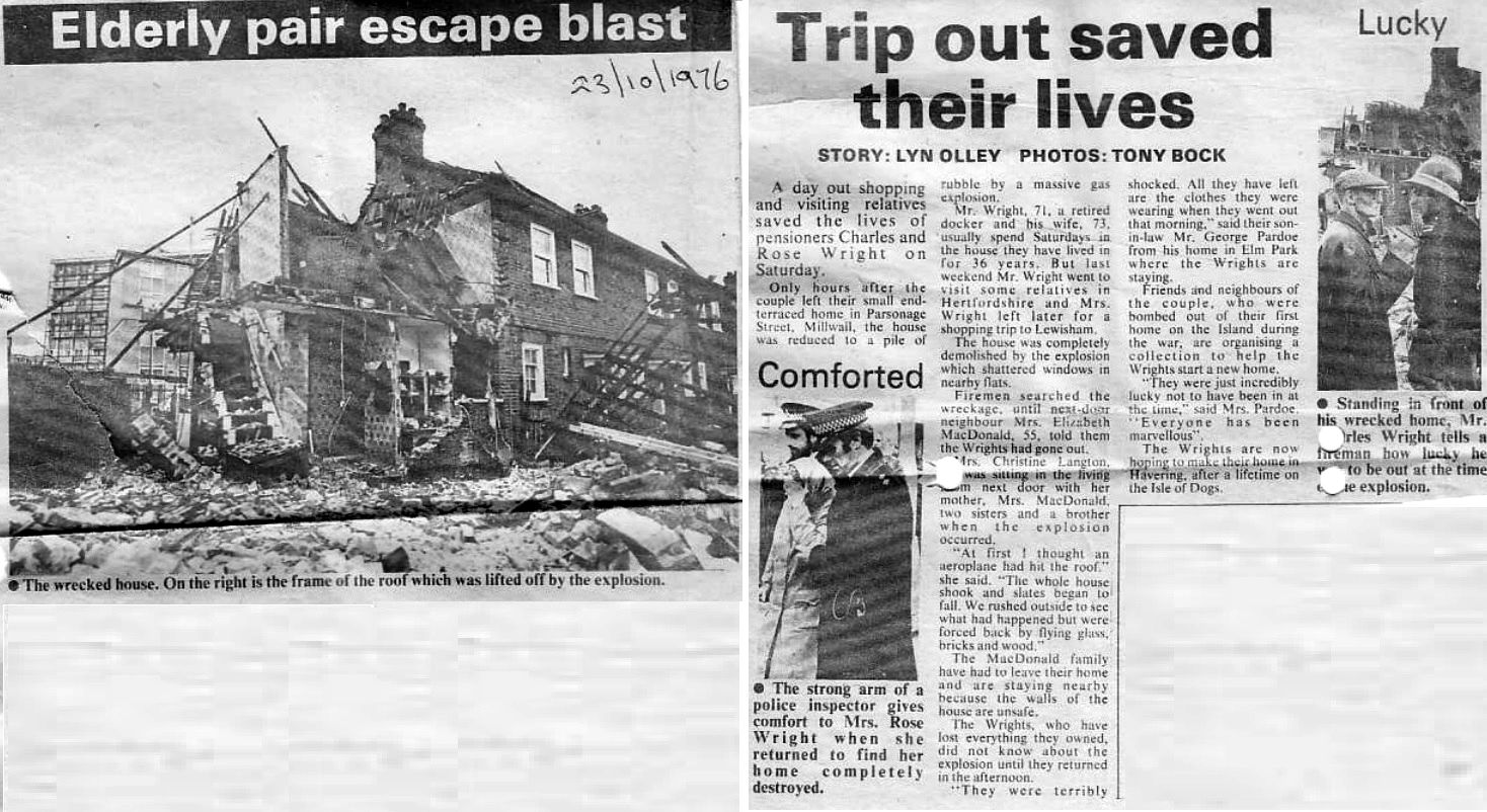
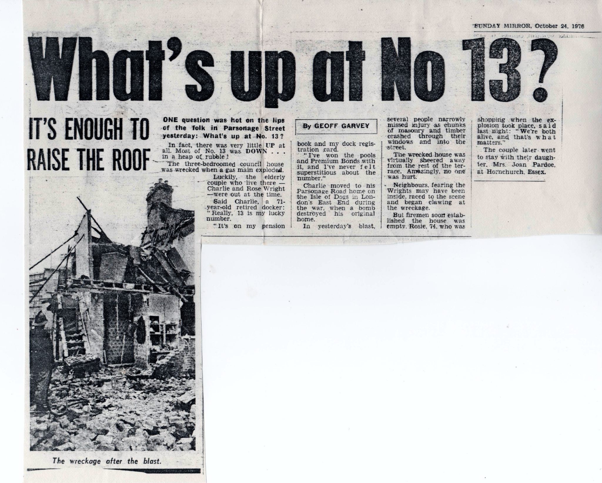
1976 A gas explosion destroys No. 13 Parsonage Street and badly damages No. 15. Nobody is hurt.
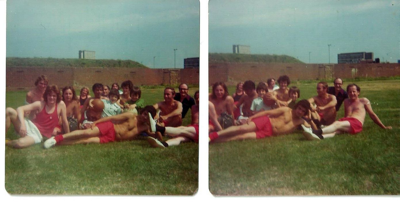
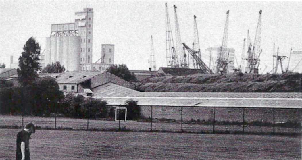
Dad, friends and neighbours having a break from their Sunday football game in Millwall Park (can’t remember if this took place before or after the lunchtime session in the pub). Photo: Mick Lemmerman
1977 Mudchute land is leased to the Mudchute Association through Tower Hamlets Borough Council and a farm and garden are established.
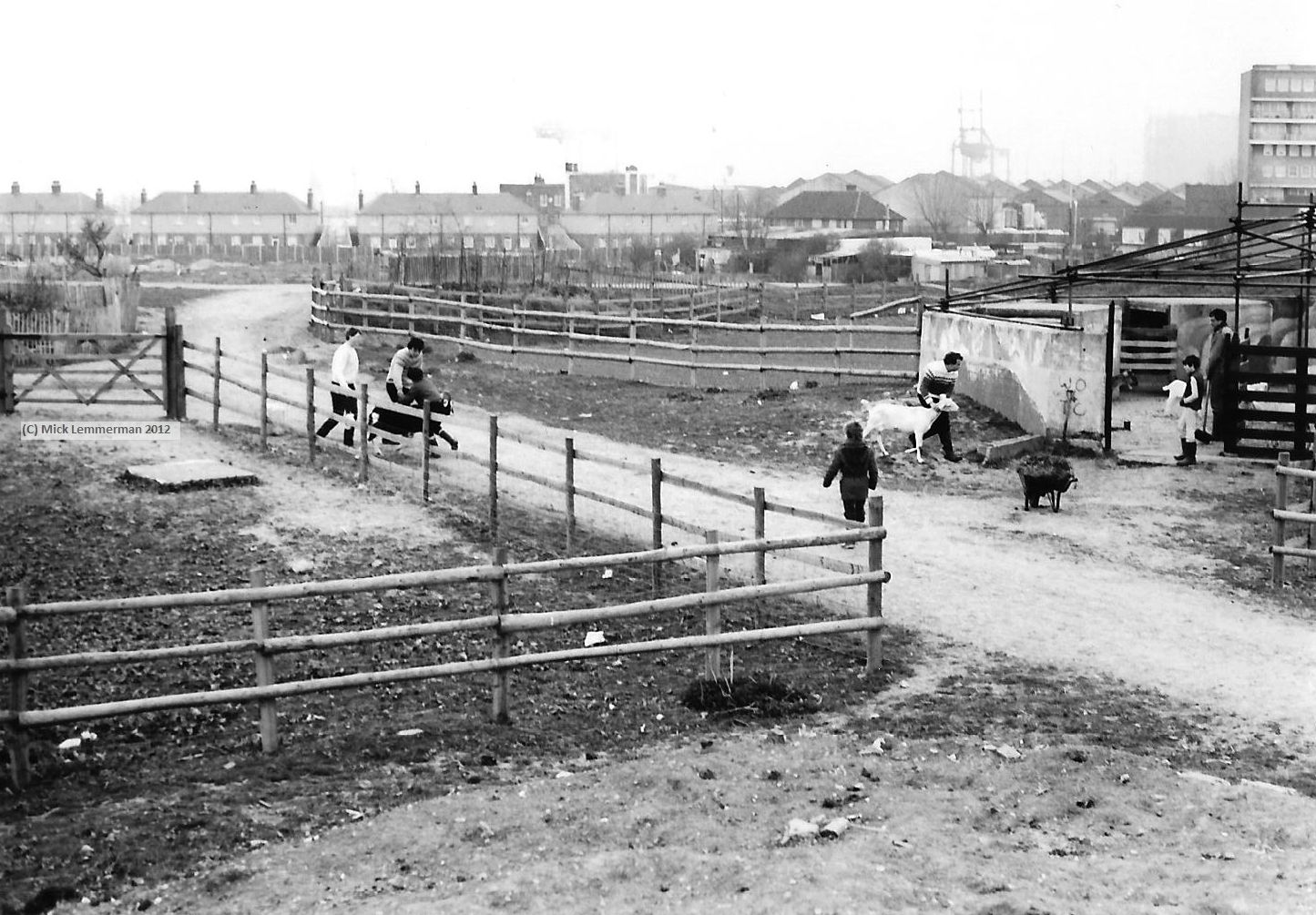
Early days of the Mudchute Farm. Photo: Mick Lemmerman
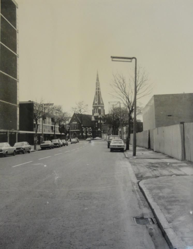
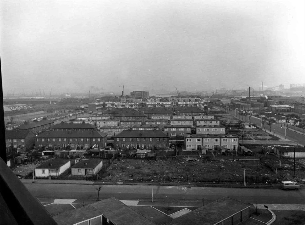
Manchester Road, with the George Green construction site on the right.
George Green’s School and Centre are officially opened.
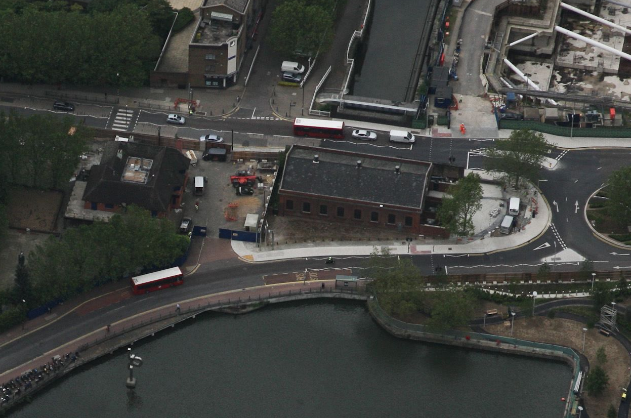
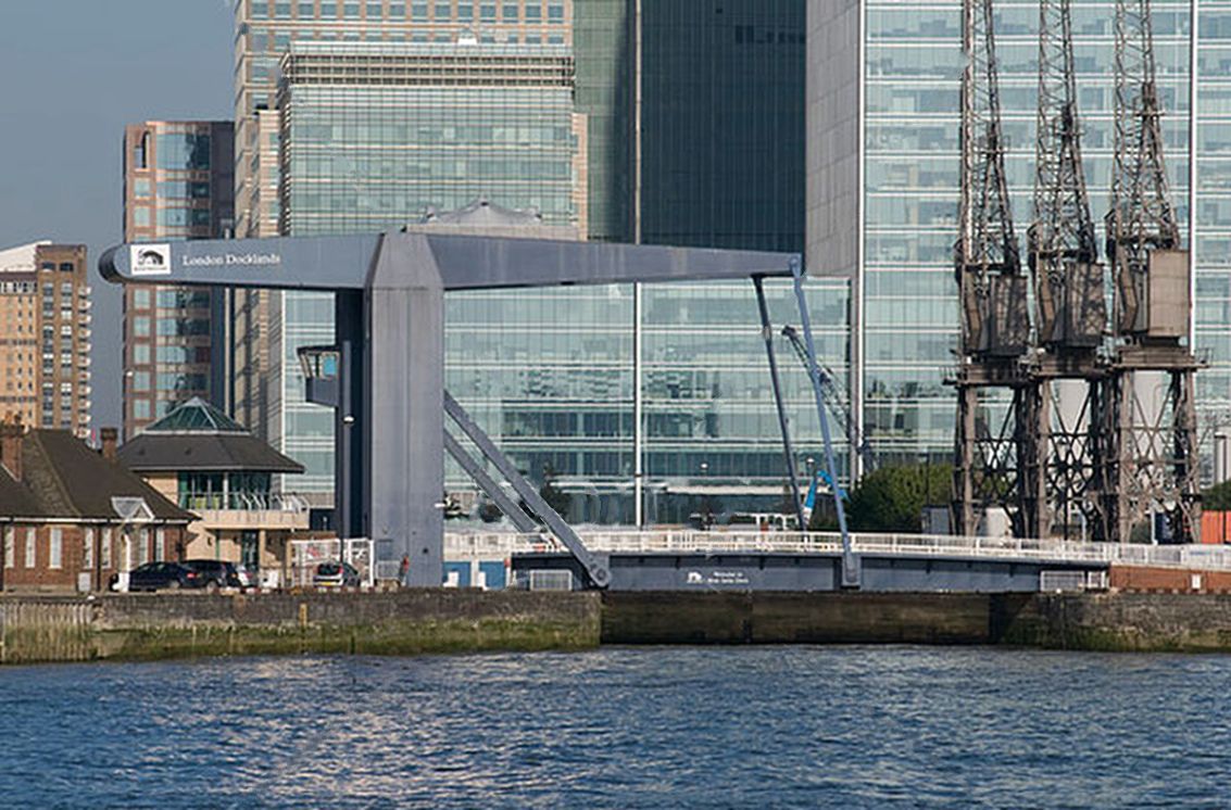
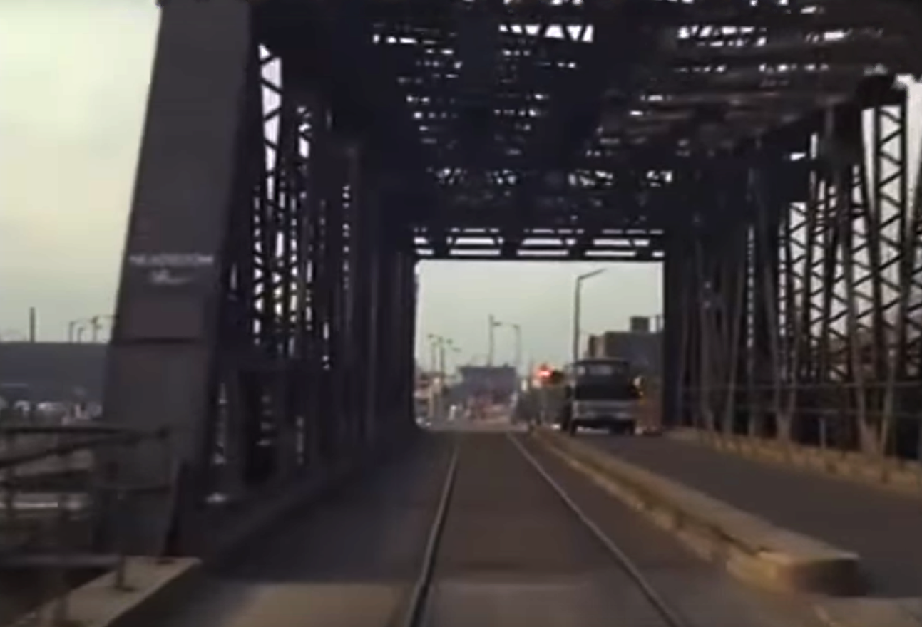
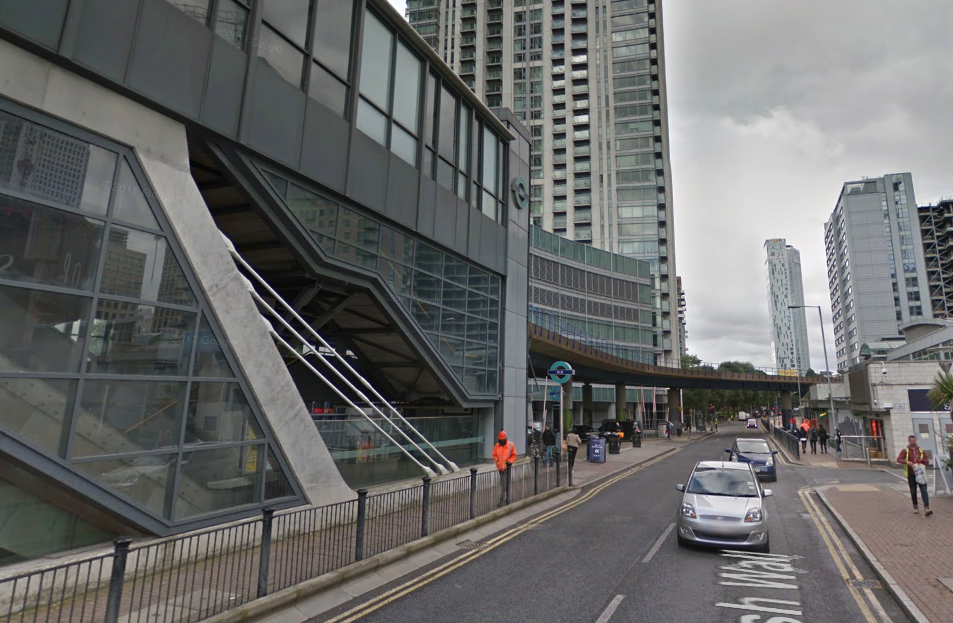
1987 Opening of the original Island Gardens DLR station, as the southern terminus of the initial system. It was built adjacent to the site of the old North Greenwich Railway Station.
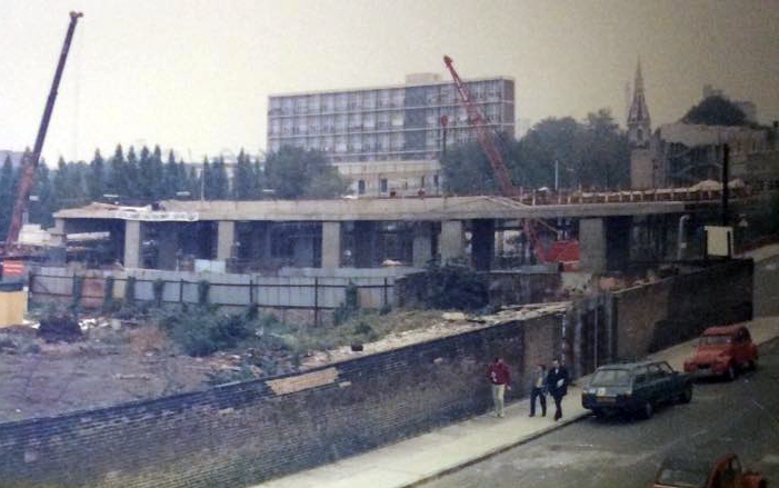
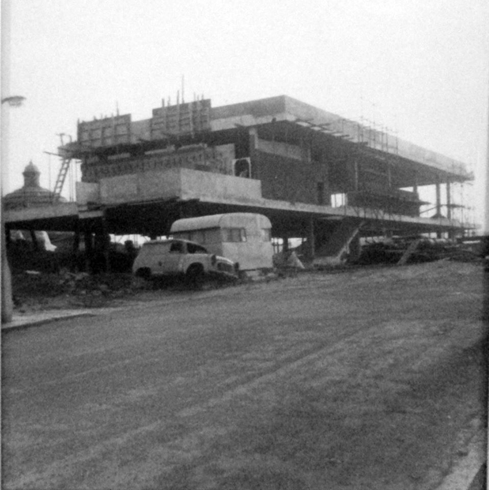
Construction of the original Island Gardens DLR Station. Photo: Sophia Pettman
During (unofficial) testing, one of the trains overshot the end of the line.
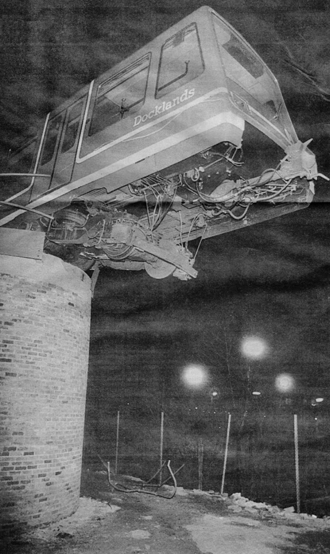
March 1987
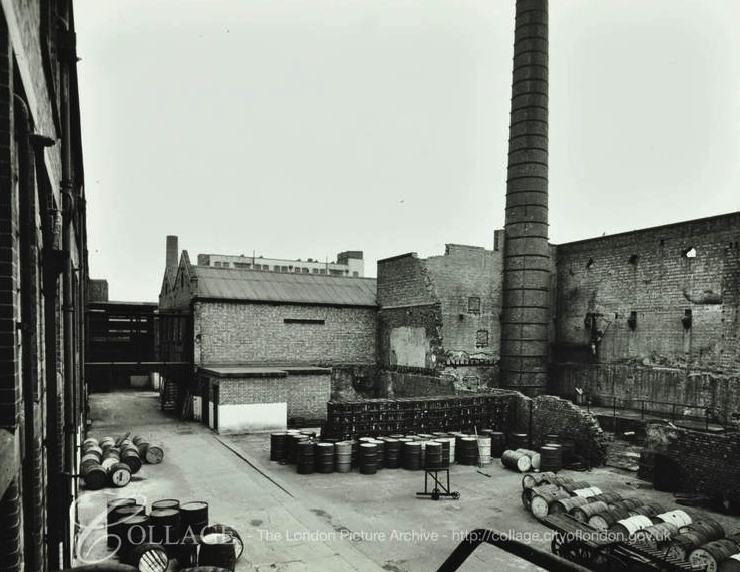
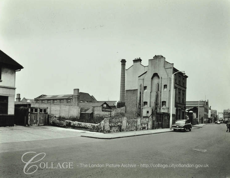
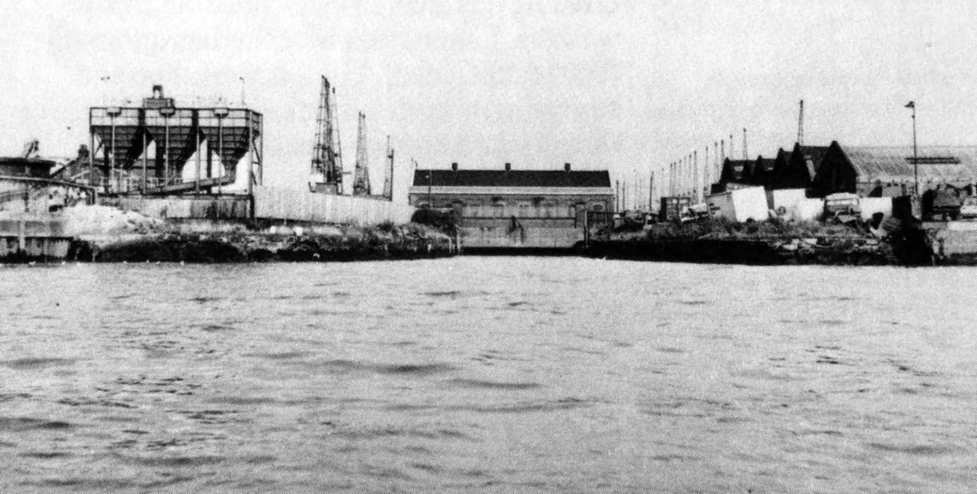
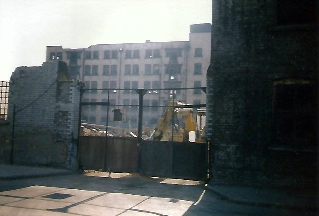
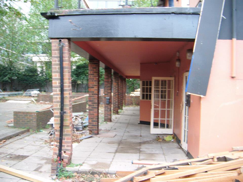
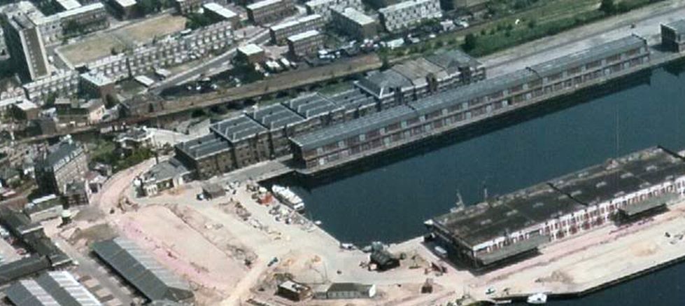
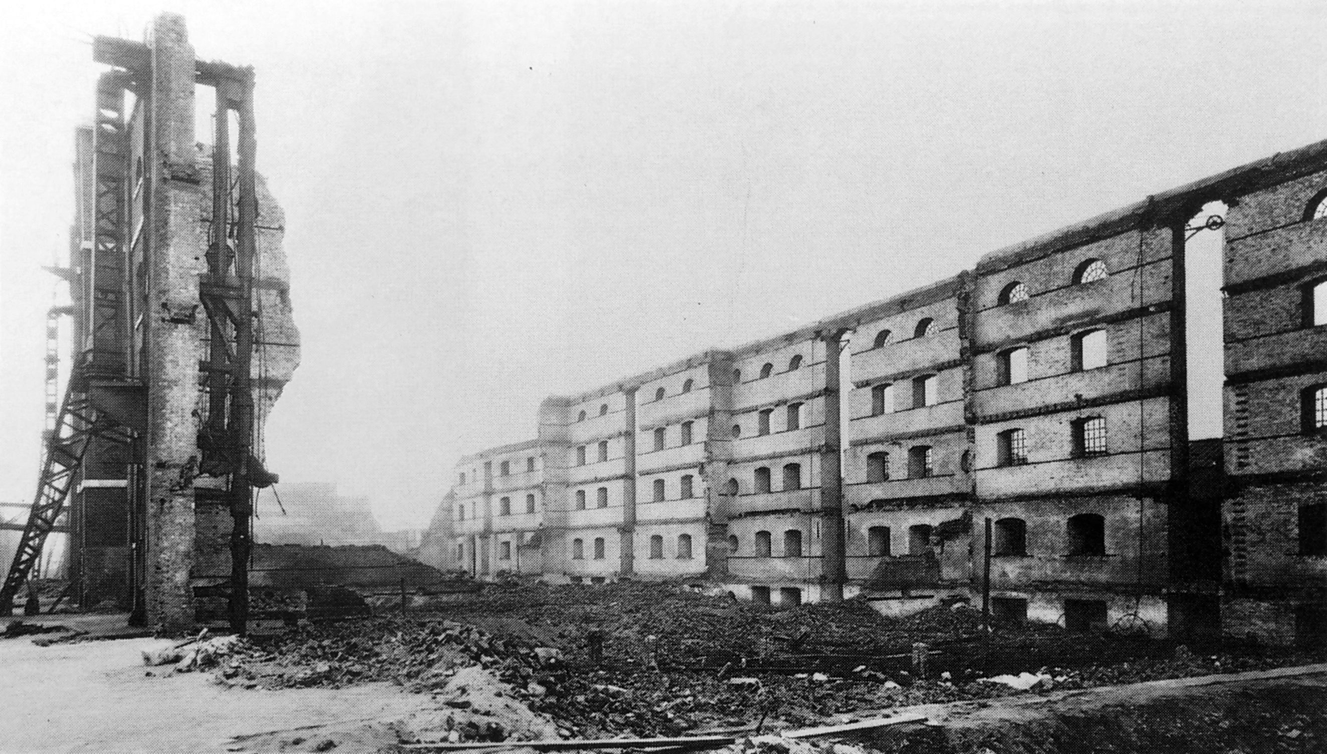
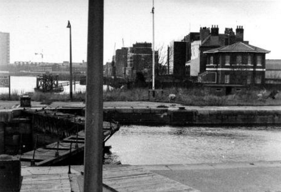
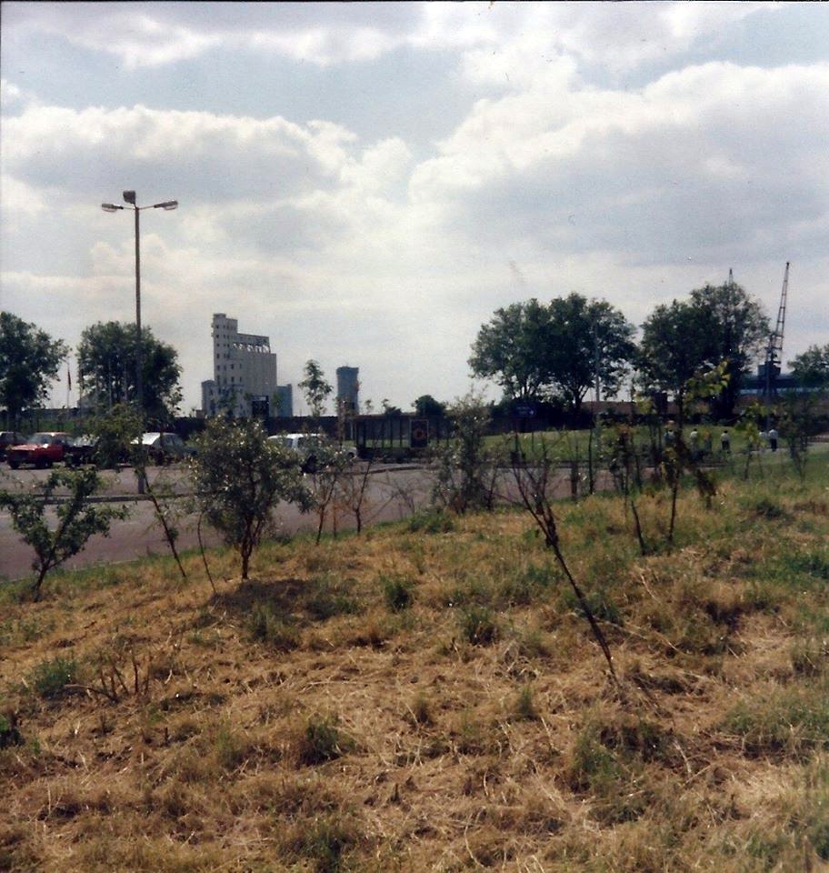
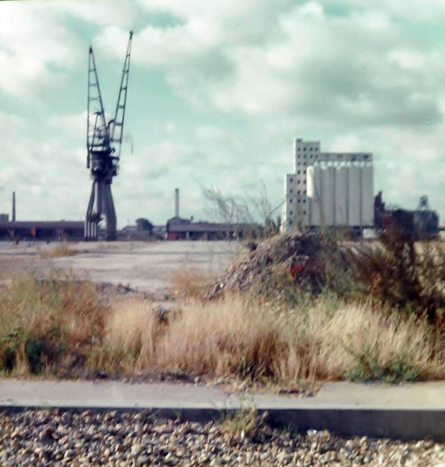
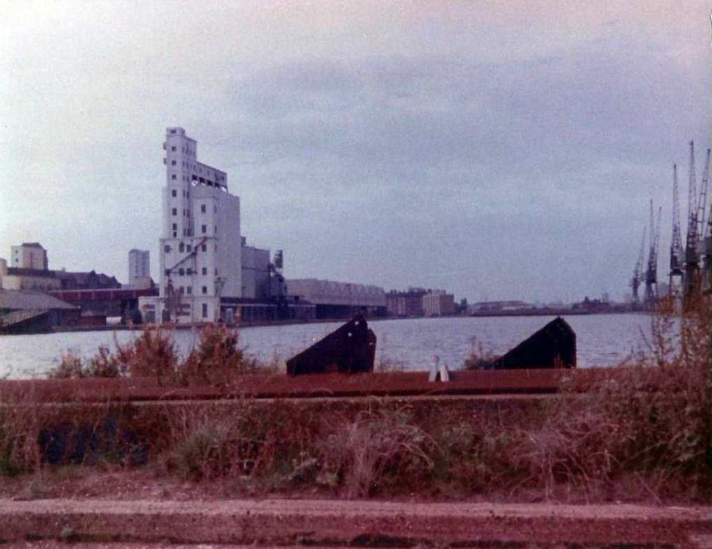
1988 The remaining buildings of the former Cumberland Oils Mills – chiefly a range of brick sheds and a chimney shaft – are cleared away for the Cumberland Mills residential development.
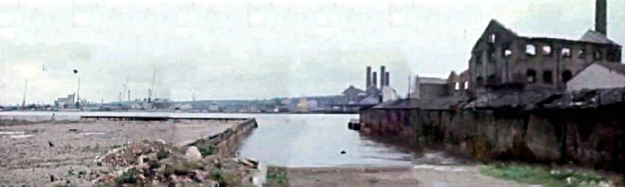
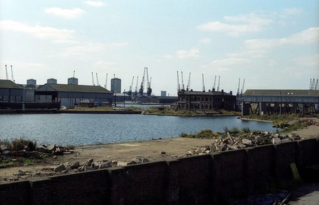
Newcastle Draw Dock, with the remains of Cumberland Oil Mills on the right.
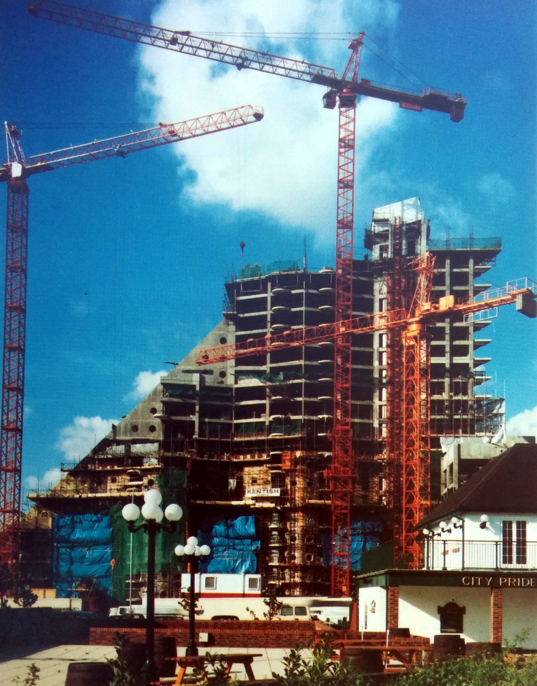
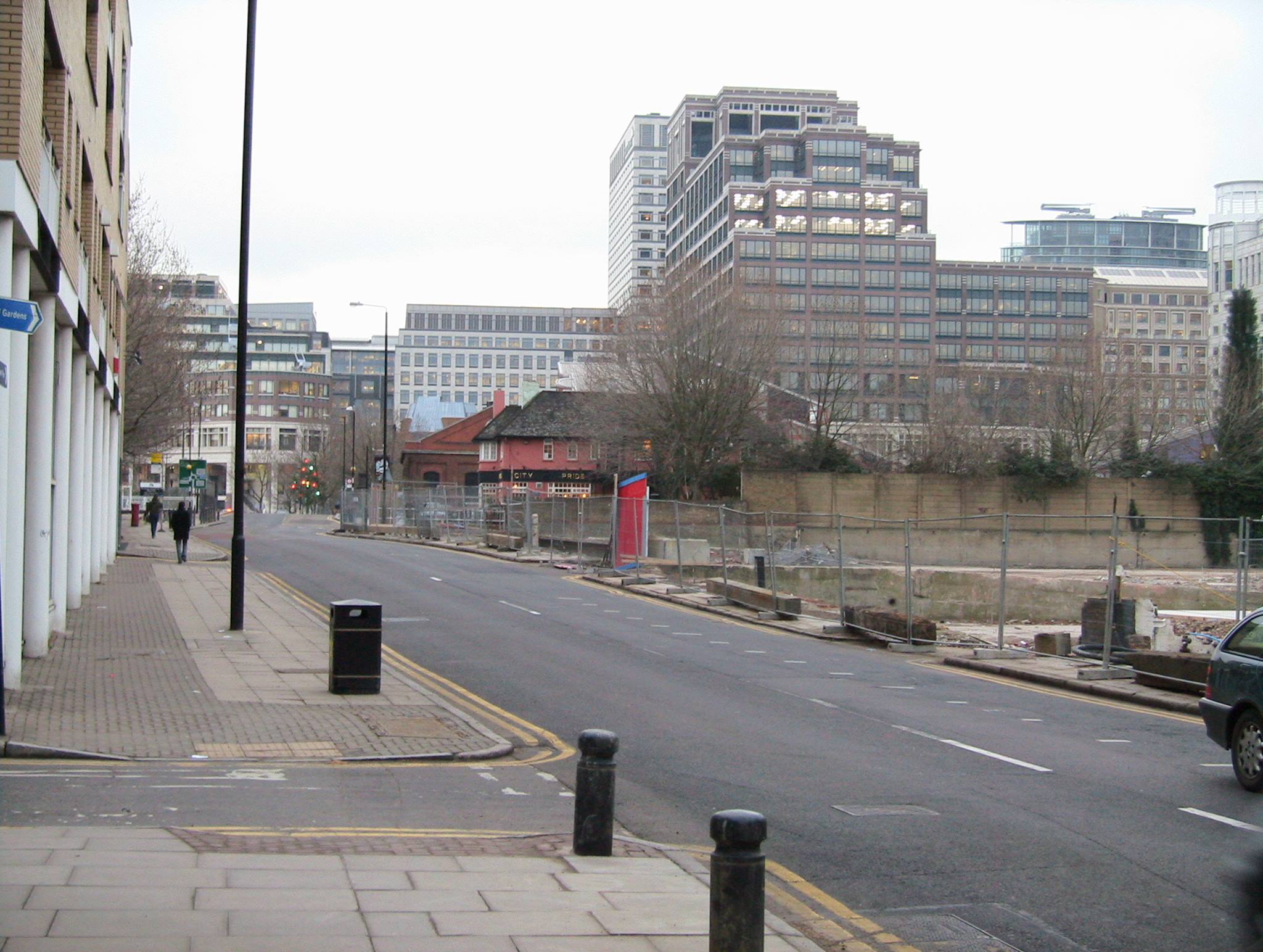
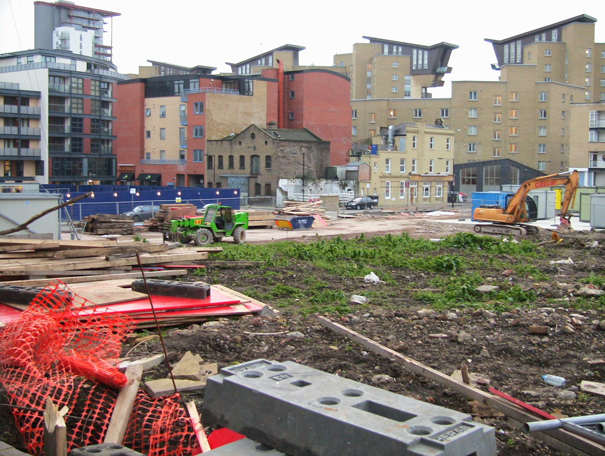
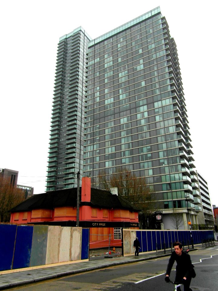
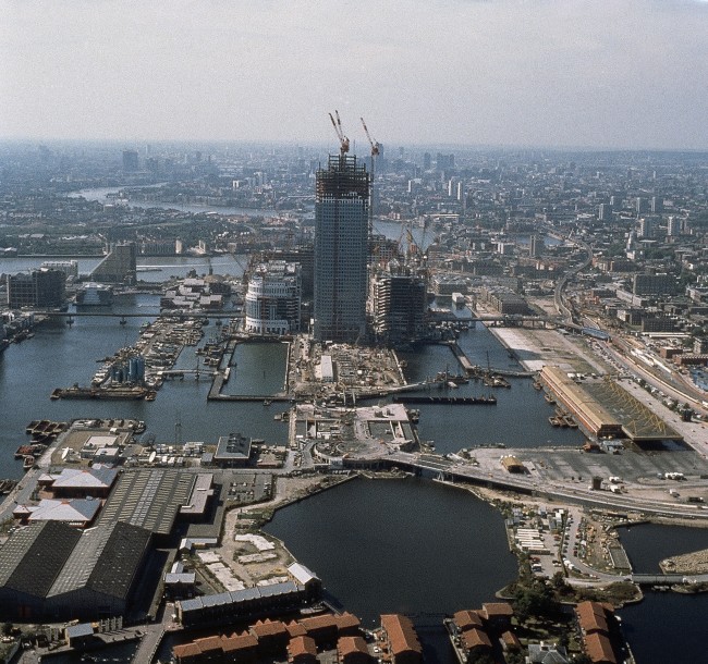
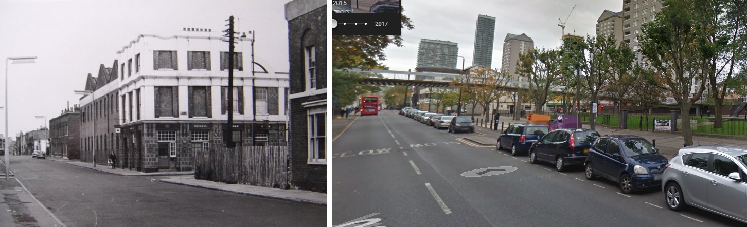
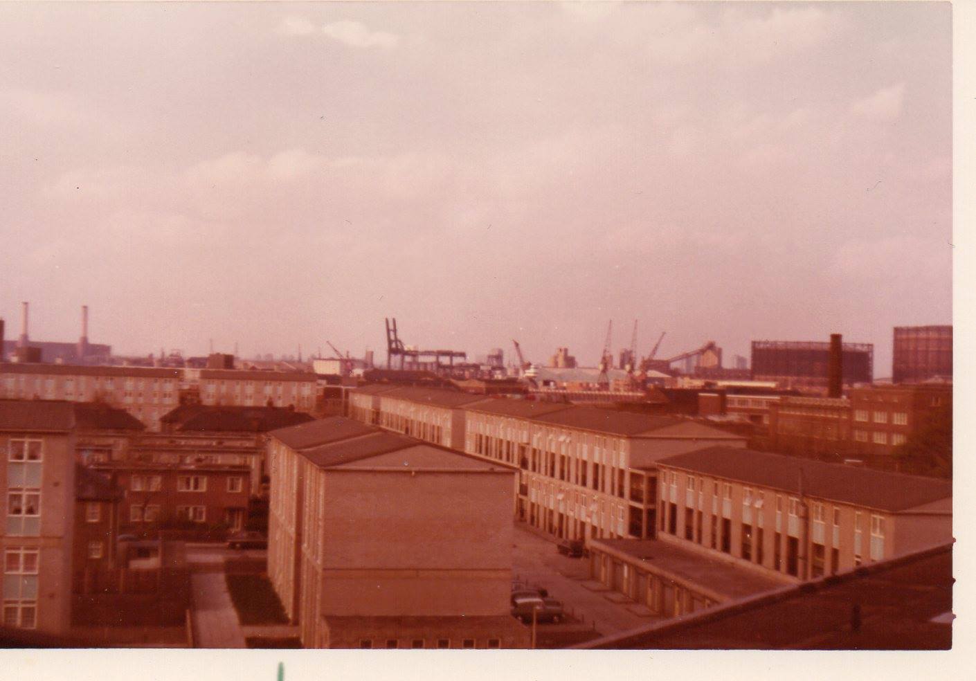
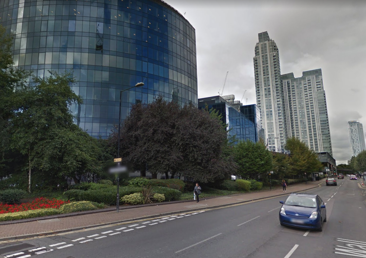
This is where my story stops, close to 1990 and the opening of 1 Canada Square and other buildings in Canary Wharf. Why? For a number of reasons:
- The demolition of so much of the Island’s industrial heritage – as typified by the previous photo – marks the end of an era in the strictest sense. The Island was marshland before the coming of the docks and industry, and for two centuries these factors greatly influenced what the Isle of Dogs was, and what it meant to live here (even after WWII when so much was destroyed). The arrival of the LDDC changed that fundamentally.
- So much has changed since 1990 that it would require a whole article (or even a books) to do describe it properly.
- The period since 1990 is very recent history, and – although it’s more than obvious that the changes are massive and fundamental – I think it is too soon to place events in a longer term historical perspective. If we look back further, over longer periods, it is easier to identity what was significant and what was characteristic of the time.
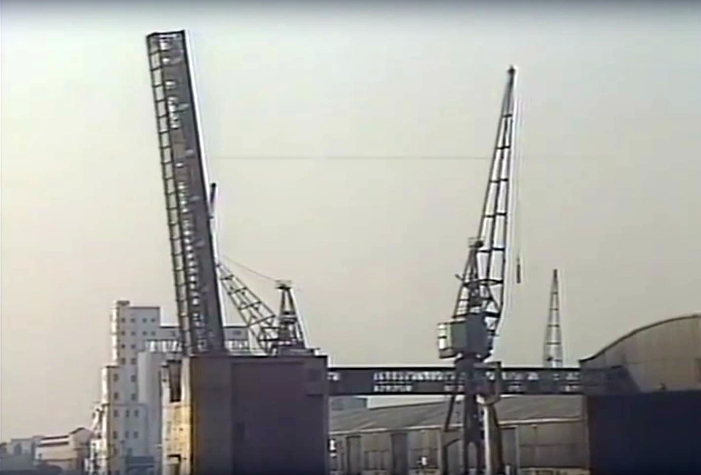
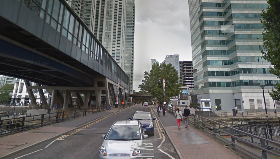
And also, if you remember, Cumberland Oil Mills appeared in the one of the first photo of this article. It’s demolition seems a logical place to also conclude.
[I had to omit loads of wonderful photos when preparing this article, unfortunately, but you always see them all at: https://www.flickr.com/photos/islandhistory/collections ]